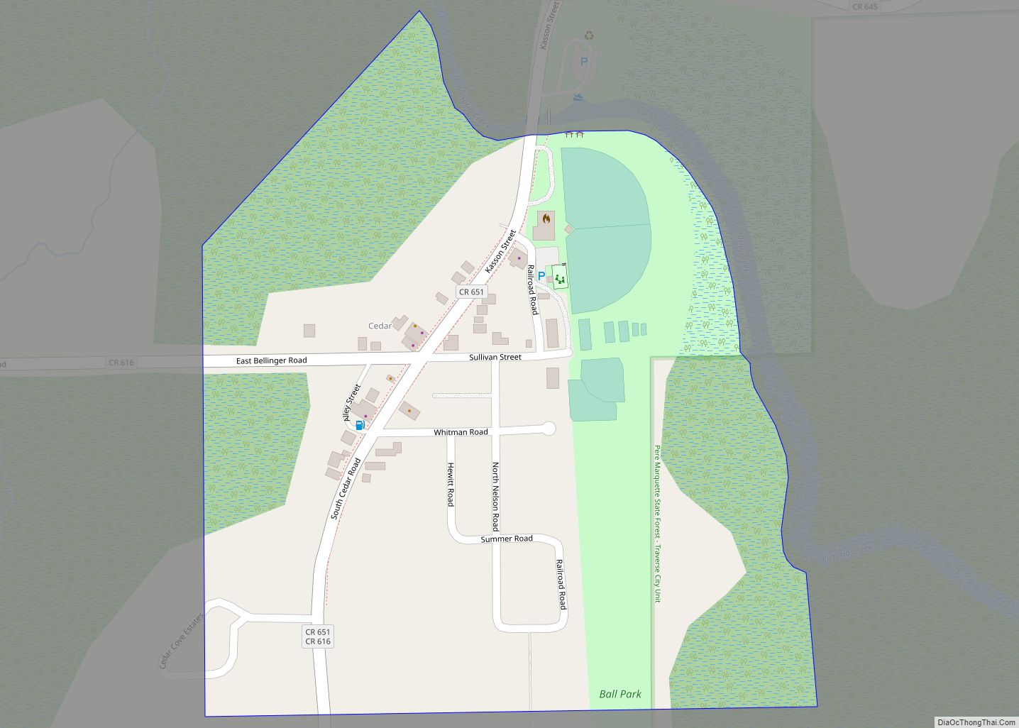
Maple City is an unincorporated community and census-designated place in Leelanau County in the U.S. state of Michigan. The population of Maple City was 209 at the 2020 census. Cedar is located within Kasson Township, and lies about 13 miles (21 km) northwest of Traverse City.
As an unincorporated community, Maple City holds no legal autonomy of its own, and relies on governance from Kasson Township. However, a post office operates out of Maple City, with the ZIP code 49664.
| Name: | Maple City CDP |
|---|---|
| LSAD Code: | 57 |
| LSAD Description: | CDP (suffix) |
| State: | Michigan |
| County: | Leelanau County |
| Elevation: | 705 ft (215 m) |
| Total Area: | 0.43 sq mi (1.12 km²) |
| Land Area: | 0.43 sq mi (1.12 km²) |
| Water Area: | 0.00 sq mi (0.00 km²) |
| Total Population: | 209 |
| Population Density: | 482.68/sq mi (186.27/km²) |
| Area code: | 231 |
| FIPS code: | 2650920 |
| GNISfeature ID: | 631423 |
Online Interactive Map
Click on ![]() to view map in "full screen" mode.
to view map in "full screen" mode.
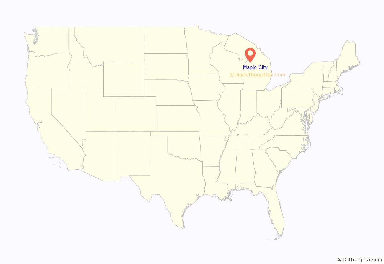
Maple City location map. Where is Maple City CDP?

History
Maple City had its beginnings in 1866 when William Parks and J. T. Sturtevant built a shoe peg factory on land containing several hundred acres of maple timber, and the community that grew up around it was at first known as “Peg Town.” When applying for a post office, the name “Maple” was chosen, and when the post office was established on March 9, 1875, the name was given as “Maple City.” William H. Crowell, who had purchased the shoe peg factory in that year, was the first postmaster. The factory burned down in 1880, and in 1882, Crowell built a sawmill that operated until 1916.
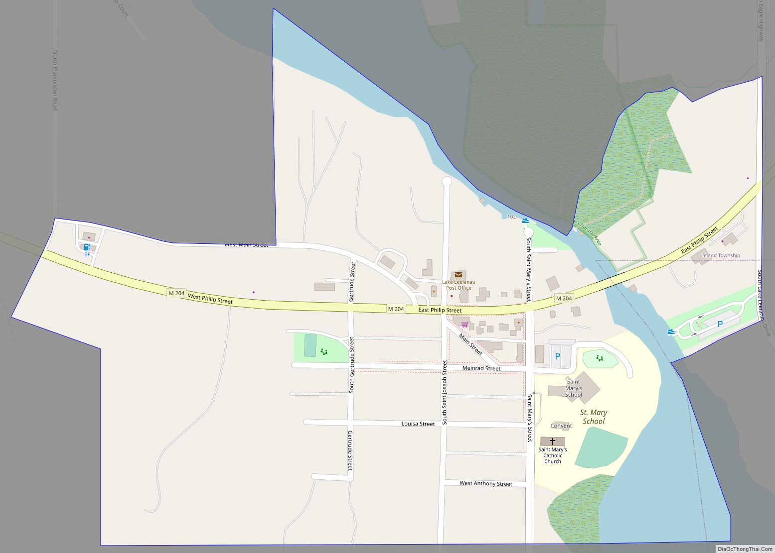
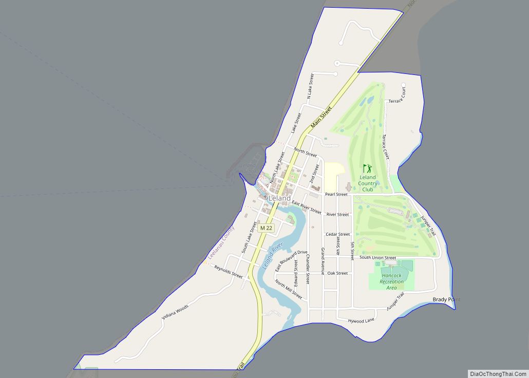
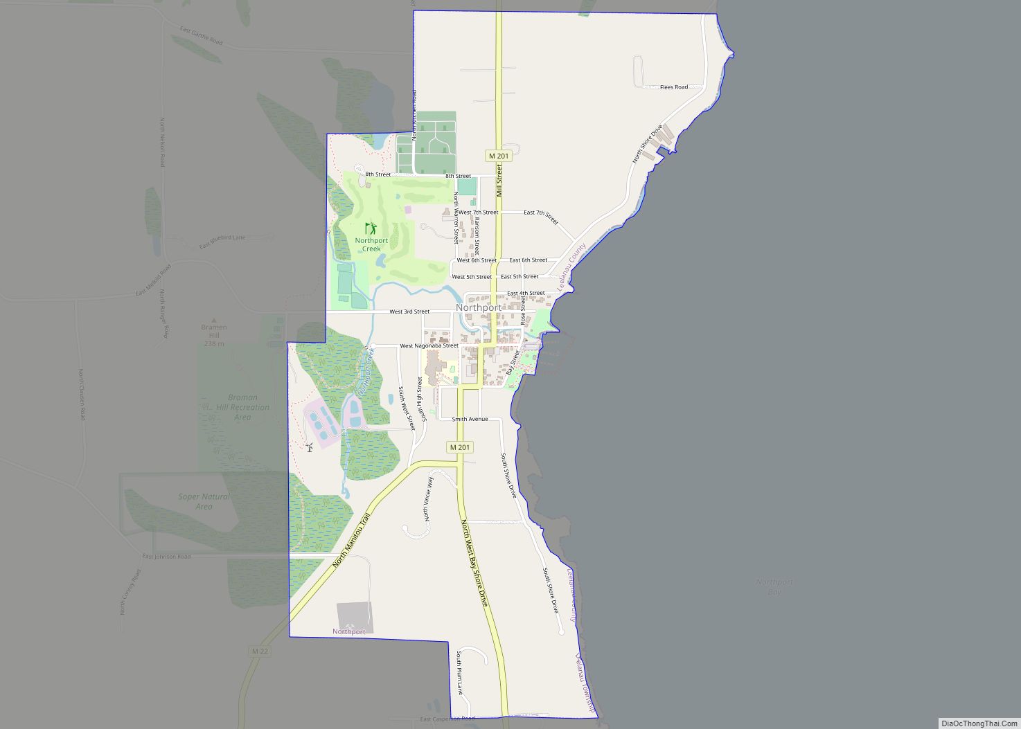
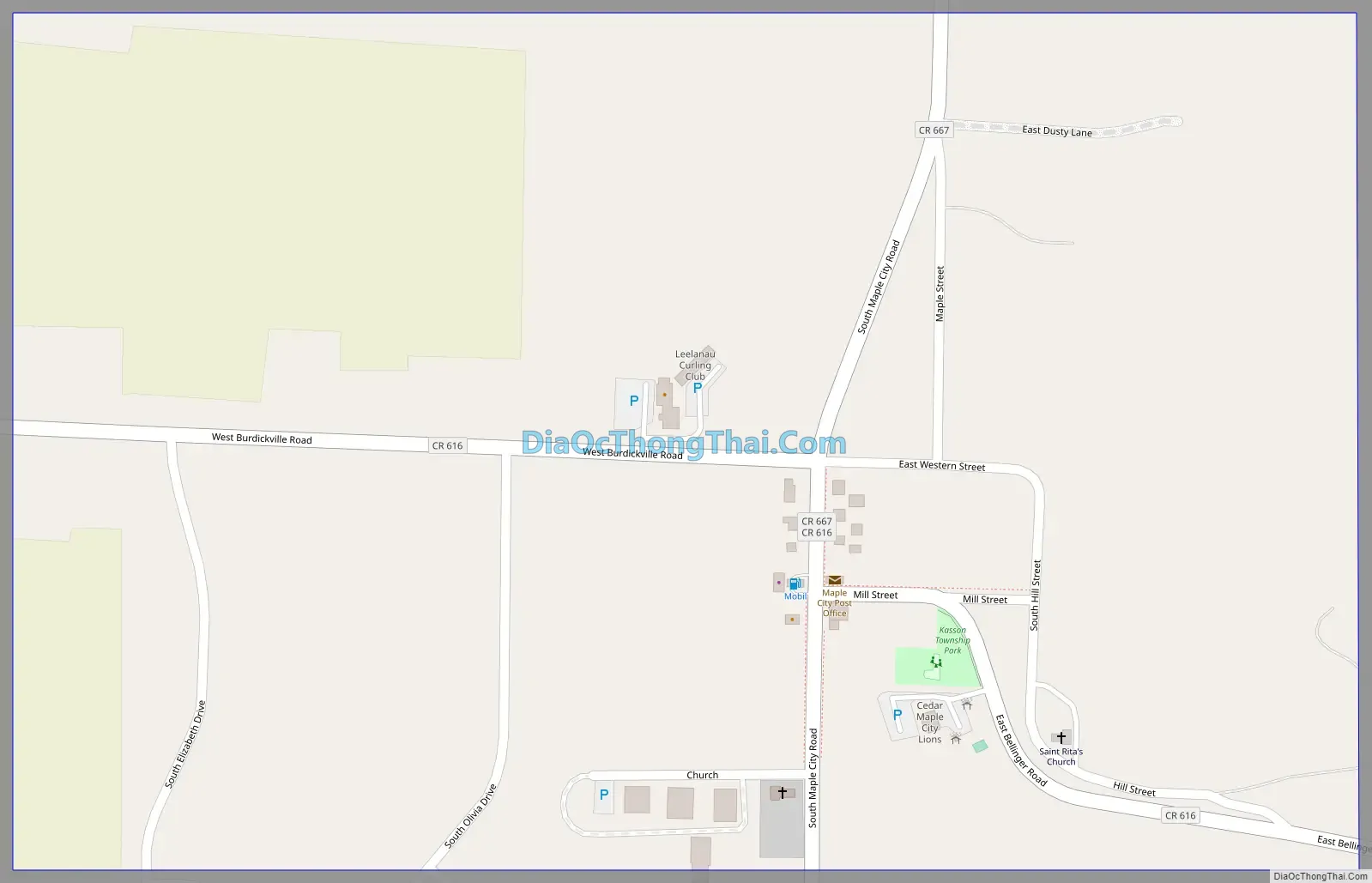
Maple City Road Map
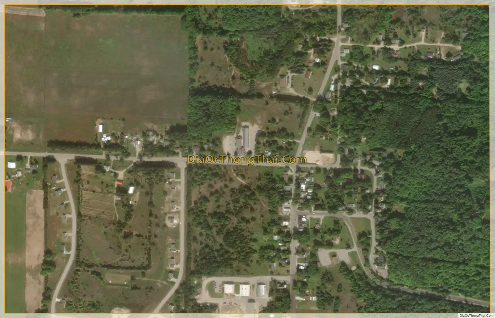
Maple City city Satellite Map
See also
Map of Michigan State and its subdivision:- Alcona
- Alger
- Allegan
- Alpena
- Antrim
- Arenac
- Baraga
- Barry
- Bay
- Benzie
- Berrien
- Branch
- Calhoun
- Cass
- Charlevoix
- Cheboygan
- Chippewa
- Clare
- Clinton
- Crawford
- Delta
- Dickinson
- Eaton
- Emmet
- Genesee
- Gladwin
- Gogebic
- Grand Traverse
- Gratiot
- Hillsdale
- Houghton
- Huron
- Ingham
- Ionia
- Iosco
- Iron
- Isabella
- Jackson
- Kalamazoo
- Kalkaska
- Kent
- Keweenaw
- Lake
- Lake Hurron
- Lake Michigan
- Lake St. Clair
- Lake Superior
- Lapeer
- Leelanau
- Lenawee
- Livingston
- Luce
- Mackinac
- Macomb
- Manistee
- Marquette
- Mason
- Mecosta
- Menominee
- Midland
- Missaukee
- Monroe
- Montcalm
- Montmorency
- Muskegon
- Newaygo
- Oakland
- Oceana
- Ogemaw
- Ontonagon
- Osceola
- Oscoda
- Otsego
- Ottawa
- Presque Isle
- Roscommon
- Saginaw
- Saint Clair
- Saint Joseph
- Sanilac
- Schoolcraft
- Shiawassee
- Tuscola
- Van Buren
- Washtenaw
- Wayne
- Wexford
- Alabama
- Alaska
- Arizona
- Arkansas
- California
- Colorado
- Connecticut
- Delaware
- District of Columbia
- Florida
- Georgia
- Hawaii
- Idaho
- Illinois
- Indiana
- Iowa
- Kansas
- Kentucky
- Louisiana
- Maine
- Maryland
- Massachusetts
- Michigan
- Minnesota
- Mississippi
- Missouri
- Montana
- Nebraska
- Nevada
- New Hampshire
- New Jersey
- New Mexico
- New York
- North Carolina
- North Dakota
- Ohio
- Oklahoma
- Oregon
- Pennsylvania
- Rhode Island
- South Carolina
- South Dakota
- Tennessee
- Texas
- Utah
- Vermont
- Virginia
- Washington
- West Virginia
- Wisconsin
- Wyoming