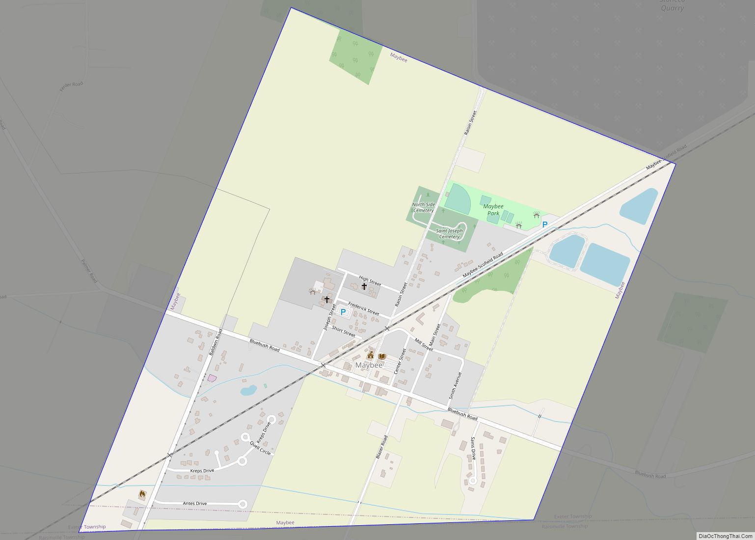
Maybee (/meɪbiː/ may-BEE) is a village in Monroe County in the U.S. state of Michigan. The population was 545 at the 2020 census. The village is located within Exeter Township. Maybee was established in 1873 and incorporated as a village in 1899.
| Name: | Maybee village |
|---|---|
| LSAD Code: | 47 |
| LSAD Description: | village (suffix) |
| State: | Michigan |
| County: | Monroe County |
| Incorporated: | 1899 |
| Elevation: | 636 ft (194 m) |
| Total Area: | 1.86 sq mi (4.82 km²) |
| Land Area: | 1.84 sq mi (4.77 km²) |
| Water Area: | 0.01 sq mi (0.05 km²) |
| Total Population: | 545 |
| Population Density: | 295.55/sq mi (114.11/km²) |
| Area code: | 734 |
| FIPS code: | 2652440 |
| GNISfeature ID: | 631766 |
Online Interactive Map
Click on ![]() to view map in "full screen" mode.
to view map in "full screen" mode.
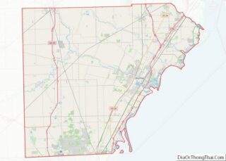
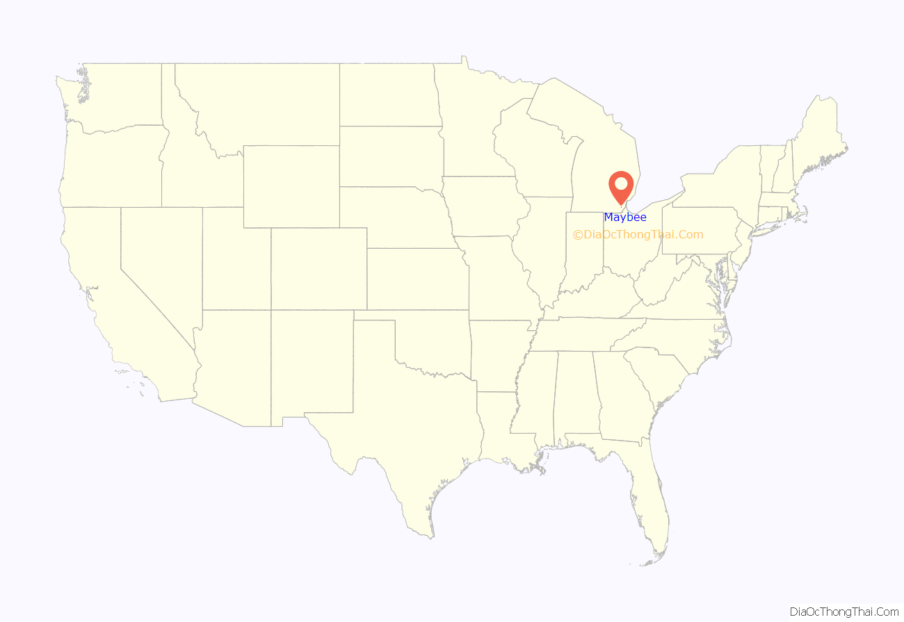
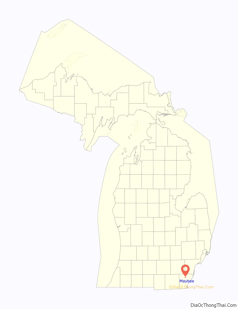
Maybee location map. Where is Maybee village?
History
Maybee was established as early as 1873 in the southwest corner of Exeter Township when the Canada Southern Railway built a railway line through the area. The line was soon transferred to Detroit, Toledo and Ironton Railroad, who transported manufactured charcoal and other forest products from Maybee to Detroit in the northeast and Ohio to the south. The community was named for early settler Abram Maybee. Along with Joseph Klotz, the two surveyed, platted, and bought and sold the land by 1875. The village grew to include a grain elevator, grist mill, mining quarry and sand pit, hotel, several churches and schools, and numerous small factories and stores. The growing population led to Maybee becoming incorporated as a village in 1899.
The Maybee Station no longer exists, but the railway line continues to run through the village. The line is currently operated by Canadian National Railway but no longer contains a station at this point along its route.
Maybee received its first post office on February 24, 1874. This post office was discontinued on February 3, 1972. Another post office was also established on August 1, 1903, and this office remains in operation and is currently located at 7580 Mill Street. The London–Maybee–Raisinville Volunteer Fire Department was formed in 1952 and serves the village and surrounding area. The station is located at 8755 Baldwin Road in the southwest corner of the village.
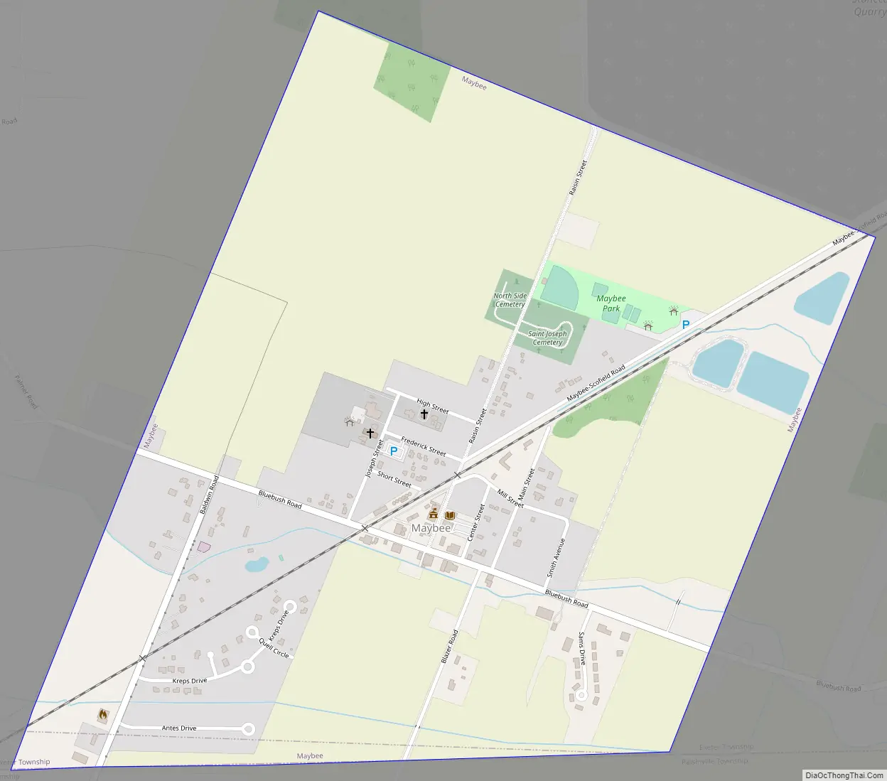
The village of Maybee contains two active cemeteries along Raisin Street. The Northside Cemetery and Saint Joseph Cemetery are located within the village boundaries. The North Side Cemetery contains graves dating back to 1876, while the Saint Joseph Cemetery has graves dating back to 1871.
The village boundaries remained the same from 1899 until 2013 when the village acquired 546 acres (2.21 km) of land belonging to the Stoneco Quarry just north of the village. The current village offices are located at 9043 Raisin Street, which is next to the historic Maybee Village Hall. The historic hall was first constructed in 1912 and housed the village government offices and fire station until 1977. The structure was listed as a Michigan State Historic Site on March 15, 1988. Since March 2021, the historic Maybee Village Hall is used as a sheriff substation for the Monroe County Police Department.
Maybee Road Map
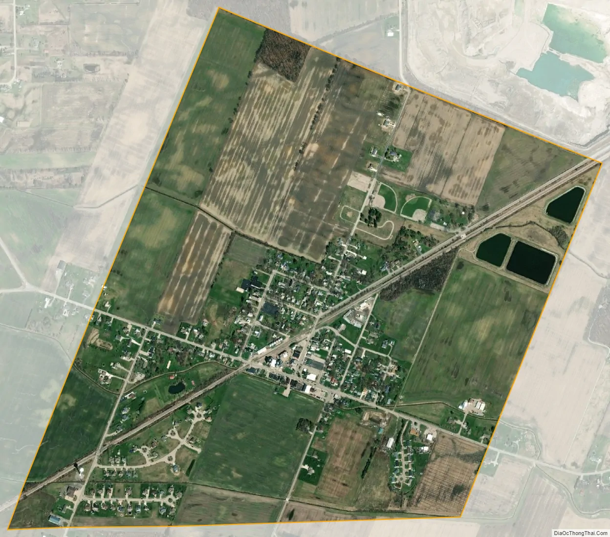
Maybee city Satellite Map
Geography
According to the U.S. Census Bureau, the village has a total area of 1.86 square miles (4.82 km), of which 1.84 square miles (4.77 km) is land and 0.02 square miles (0.05 km) (1.08%) is water.
The village of Maybee is located in rural Monroe County about 10 miles (16.1 km) northwest of the city of Monroe. The Robert Drain flows through the northern portion of the village and provides drainage into Stony Creek. The Antes Drain flows through the southern portion of the village and connects to Sandy Creek, which also flows through the village.
Maybee has its own post office with the 48159 ZIP Code. The Maybee post office serves a much larger area, including portions of Exeter Township, London Township, Milan Township, and very small portions of Dundee Township and Raisinville Township. The southwestern portion of the village uses the Monroe 48162 ZIP Code.
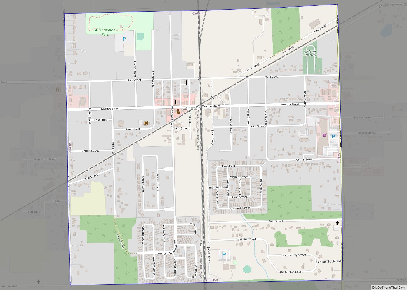
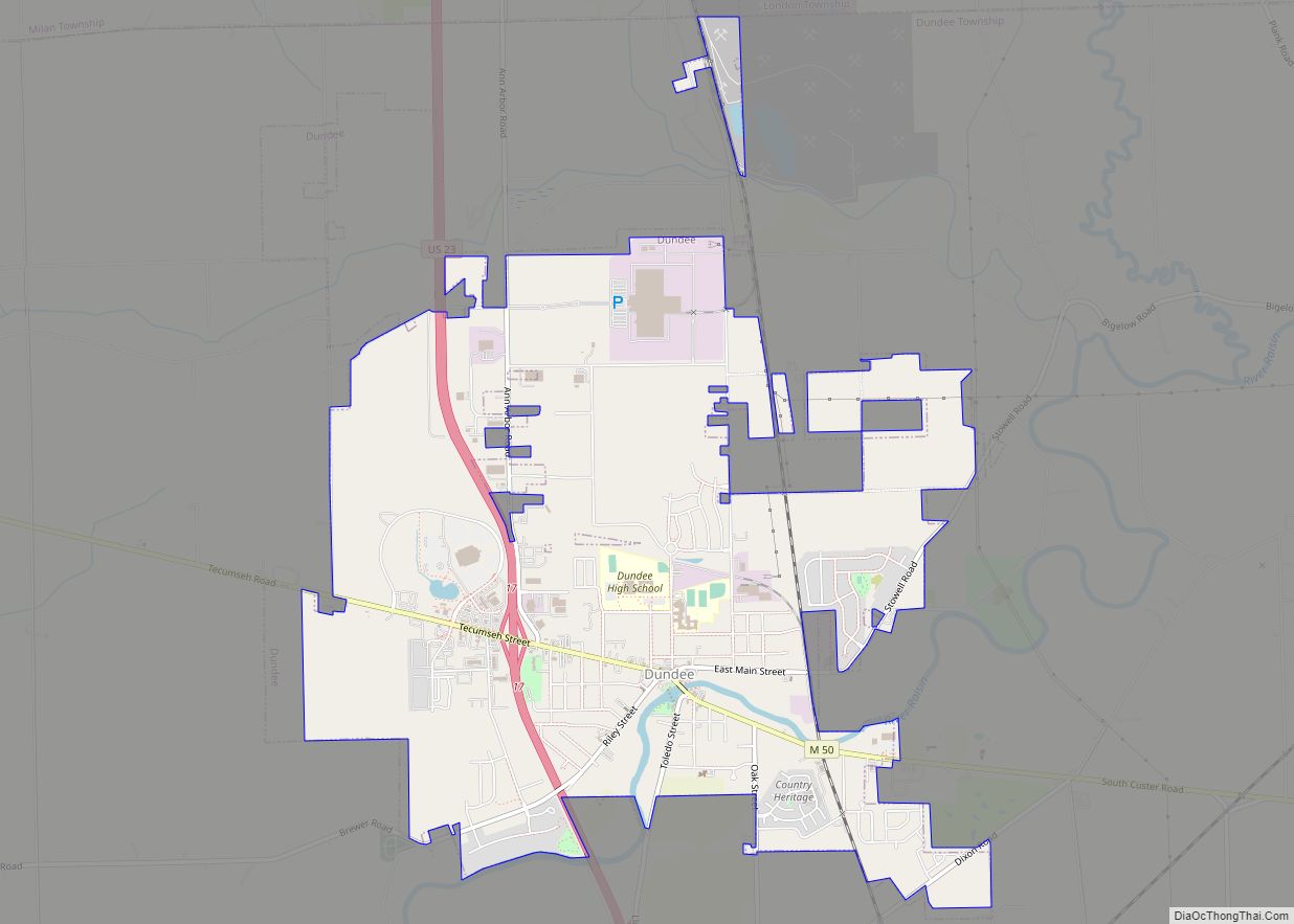
Other nearby villages include Carleton to the northeast and Dundee to the southwest. Maybee is about halfway between the cities of Milan to the northwest and Monroe to the southeast. The unincorporated community of Scofield is about one mile (1.6 km) to the northeast within Exeter Township.
See also
Map of Michigan State and its subdivision:- Alcona
- Alger
- Allegan
- Alpena
- Antrim
- Arenac
- Baraga
- Barry
- Bay
- Benzie
- Berrien
- Branch
- Calhoun
- Cass
- Charlevoix
- Cheboygan
- Chippewa
- Clare
- Clinton
- Crawford
- Delta
- Dickinson
- Eaton
- Emmet
- Genesee
- Gladwin
- Gogebic
- Grand Traverse
- Gratiot
- Hillsdale
- Houghton
- Huron
- Ingham
- Ionia
- Iosco
- Iron
- Isabella
- Jackson
- Kalamazoo
- Kalkaska
- Kent
- Keweenaw
- Lake
- Lake Hurron
- Lake Michigan
- Lake St. Clair
- Lake Superior
- Lapeer
- Leelanau
- Lenawee
- Livingston
- Luce
- Mackinac
- Macomb
- Manistee
- Marquette
- Mason
- Mecosta
- Menominee
- Midland
- Missaukee
- Monroe
- Montcalm
- Montmorency
- Muskegon
- Newaygo
- Oakland
- Oceana
- Ogemaw
- Ontonagon
- Osceola
- Oscoda
- Otsego
- Ottawa
- Presque Isle
- Roscommon
- Saginaw
- Saint Clair
- Saint Joseph
- Sanilac
- Schoolcraft
- Shiawassee
- Tuscola
- Van Buren
- Washtenaw
- Wayne
- Wexford
- Alabama
- Alaska
- Arizona
- Arkansas
- California
- Colorado
- Connecticut
- Delaware
- District of Columbia
- Florida
- Georgia
- Hawaii
- Idaho
- Illinois
- Indiana
- Iowa
- Kansas
- Kentucky
- Louisiana
- Maine
- Maryland
- Massachusetts
- Michigan
- Minnesota
- Mississippi
- Missouri
- Montana
- Nebraska
- Nevada
- New Hampshire
- New Jersey
- New Mexico
- New York
- North Carolina
- North Dakota
- Ohio
- Oklahoma
- Oregon
- Pennsylvania
- Rhode Island
- South Carolina
- South Dakota
- Tennessee
- Texas
- Utah
- Vermont
- Virginia
- Washington
- West Virginia
- Wisconsin
- Wyoming