Milan (/ˈmaɪlən/ MY-lən) is a city in Monroe and Washtenaw counties in the U.S. state of Michigan. The population was 6,079 at the 2020 census.
The community was settled as early as 1831. Milan incorporated as a village in 1885 and much later as a city in 1967. The center of the downtown area is listed on the National Register of Historic Places as the Main Street Historic District.
| Name: | Milan city |
|---|---|
| LSAD Code: | 25 |
| LSAD Description: | city (suffix) |
| State: | Michigan |
| County: | Monroe County, Washtenaw County |
| Incorporated: | 1885 (village) 1967 (city) |
| Elevation: | 702 ft (214 m) |
| Total Area: | 3.53 sq mi (9.14 km²) |
| Land Area: | 3.45 sq mi (8.93 km²) |
| Water Area: | 0.08 sq mi (0.21 km²) |
| Total Population: | 6,079 |
| Population Density: | 1,762.54/sq mi (680.55/km²) |
| Area code: | 734 |
| FIPS code: | 2653920 |
| GNISfeature ID: | 632302 |
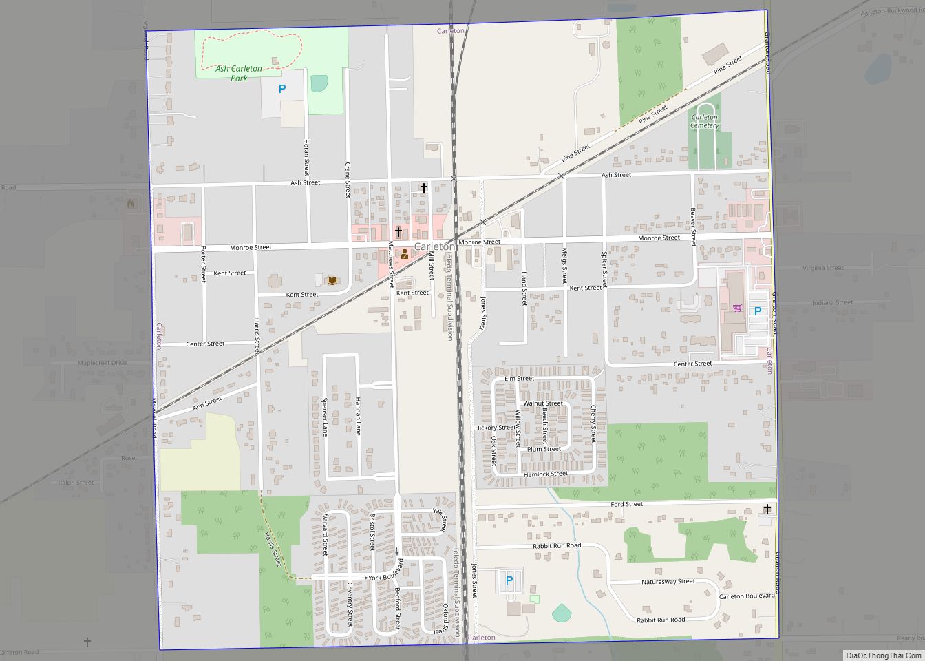
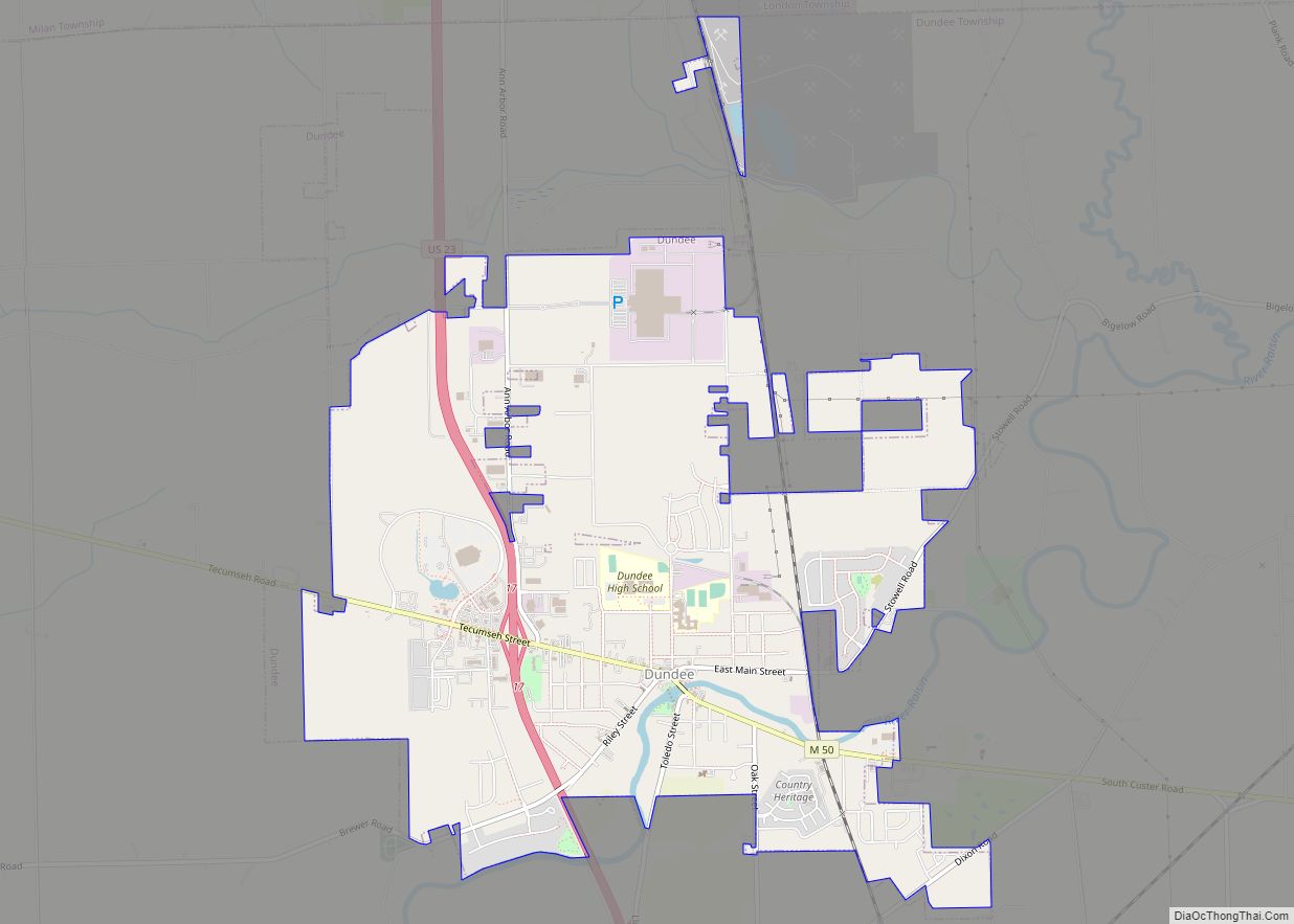
Online Interactive Map
Click on ![]() to view map in "full screen" mode.
to view map in "full screen" mode.
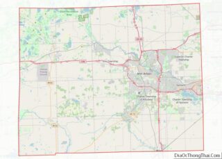
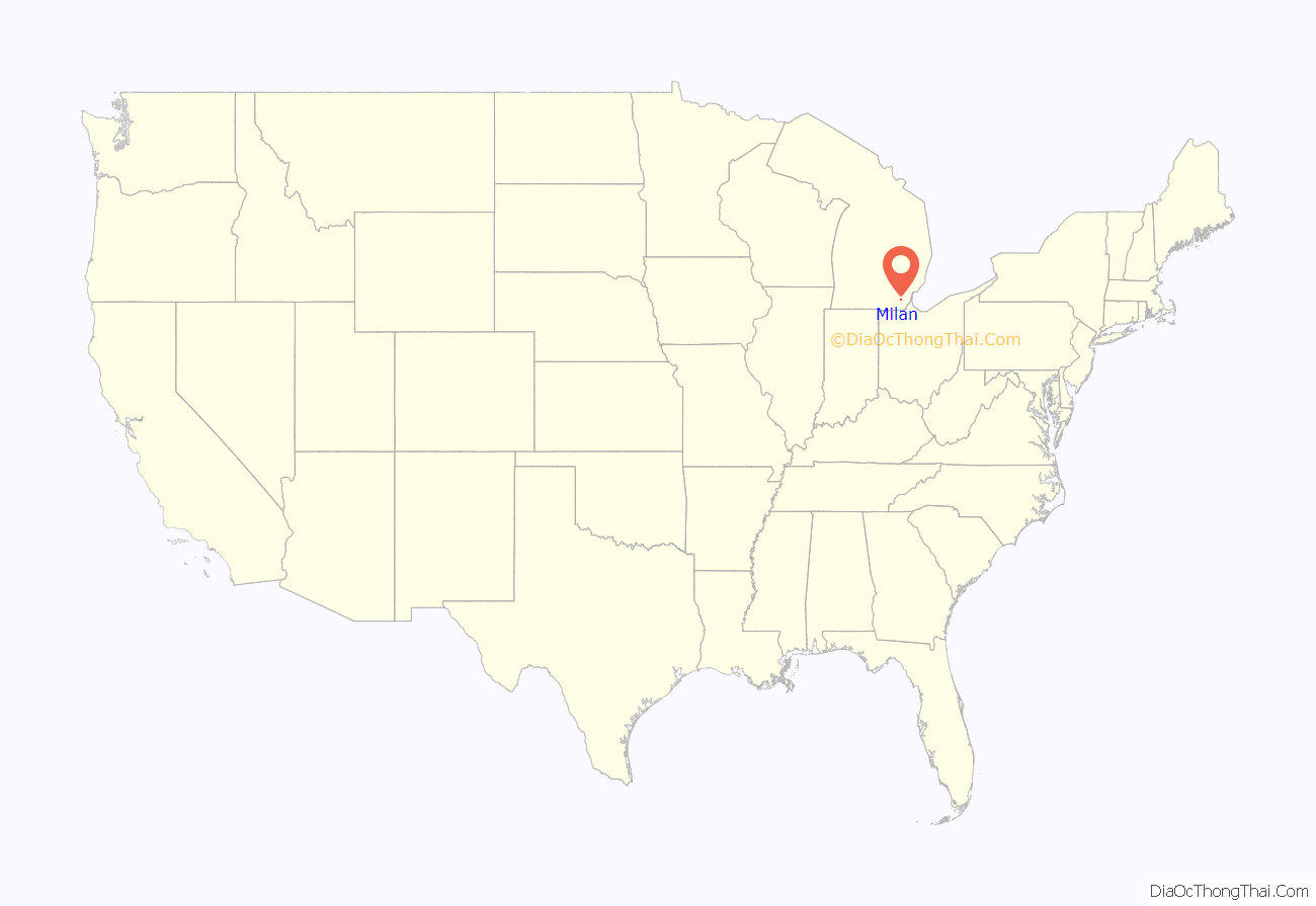
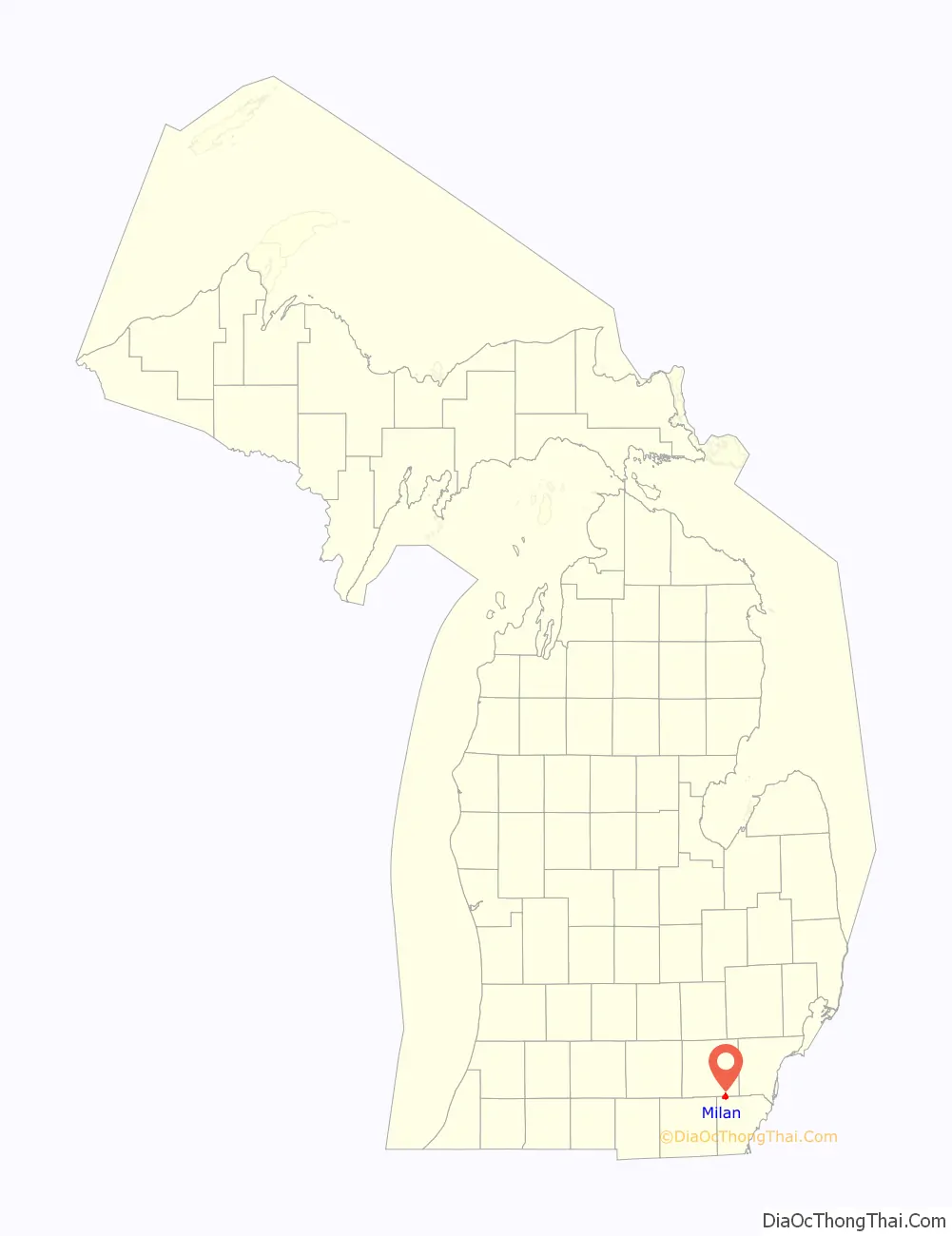
Milan location map. Where is Milan city?
History
The first settler to the area was John Marvin, who arrived in the spring of 1831 and settled the community under the name Tolanville after Marvin’s brother-in-law Henry Tolan. He built his home and also operated a general store for travelers and other early residents. Other earlier settlers included Bethuel Hack and Harmon Allen, and their families became the area’s first permanent residents. The population began to grow, and the first post office was established on March 27, 1833 under the name Farmersville. The name was changed to Milan on April 21, 1836. The post office has remained in operation ever since and is presently located at 123 East Main Street. The community became part of York Township when it was organized in 1833 in Washtenaw County and Milan Township when it was organized in 1836 in the northwest corner of Monroe County. Other nearby communities included Azalia (East Milan), Cone (West Milan), and Mooreville.
Some of Milan’s earliest structures that remain today include the Community House, which was built in 1834 as a gristmill. It was purchased by Henry Ford in 1935 and used for processing soybeans for automotive paint. It is currently used as a banquet hall. The Hack House Museum was built in 1888 and served as a private residence for many years, and it is now occupied by the Milan Area Historic Society. One of the most recognizable structures is the Old Milan Fire Barn, which was built in 1897 and served as a fire station until 1979. The fire department moved out of the building, and the building became abandoned until it was donated to the Milan Area Historical Society in 1983. The building was restored and rededicated in 2002.
In the 1870s, a railway line was built through the community. The line was operated by the Wabash Railroad and later became an intersection with the Ann Arbor Railroad. The railroad continues to pass through area but no longer has a station in Milan.
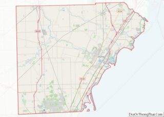
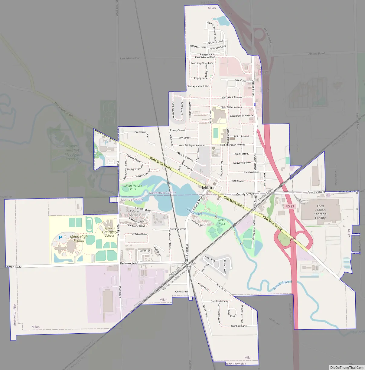
Milan Road Map
Milan city Satellite Map
Geography
According to the U.S. Census Bureau, the city has a total area of 3.53 square miles (9.14 km) of which, 3.45 square miles (8.94 km) is land and 0.08 square miles (0.21 km) (2.27%) is water.
The Saline River passes through the center of Milan.
The city of Milan uses the 48160 ZIP Code, which also serves a larger area including London Township and Milan Township in Monroe County and Augusta Charter Township and York Charter Township in Washtenaw County.
Major highways
- US 23 runs south–north along the eastern edge of the city.
See also
Map of Michigan State and its subdivision:- Alcona
- Alger
- Allegan
- Alpena
- Antrim
- Arenac
- Baraga
- Barry
- Bay
- Benzie
- Berrien
- Branch
- Calhoun
- Cass
- Charlevoix
- Cheboygan
- Chippewa
- Clare
- Clinton
- Crawford
- Delta
- Dickinson
- Eaton
- Emmet
- Genesee
- Gladwin
- Gogebic
- Grand Traverse
- Gratiot
- Hillsdale
- Houghton
- Huron
- Ingham
- Ionia
- Iosco
- Iron
- Isabella
- Jackson
- Kalamazoo
- Kalkaska
- Kent
- Keweenaw
- Lake
- Lake Hurron
- Lake Michigan
- Lake St. Clair
- Lake Superior
- Lapeer
- Leelanau
- Lenawee
- Livingston
- Luce
- Mackinac
- Macomb
- Manistee
- Marquette
- Mason
- Mecosta
- Menominee
- Midland
- Missaukee
- Monroe
- Montcalm
- Montmorency
- Muskegon
- Newaygo
- Oakland
- Oceana
- Ogemaw
- Ontonagon
- Osceola
- Oscoda
- Otsego
- Ottawa
- Presque Isle
- Roscommon
- Saginaw
- Saint Clair
- Saint Joseph
- Sanilac
- Schoolcraft
- Shiawassee
- Tuscola
- Van Buren
- Washtenaw
- Wayne
- Wexford
- Alabama
- Alaska
- Arizona
- Arkansas
- California
- Colorado
- Connecticut
- Delaware
- District of Columbia
- Florida
- Georgia
- Hawaii
- Idaho
- Illinois
- Indiana
- Iowa
- Kansas
- Kentucky
- Louisiana
- Maine
- Maryland
- Massachusetts
- Michigan
- Minnesota
- Mississippi
- Missouri
- Montana
- Nebraska
- Nevada
- New Hampshire
- New Jersey
- New Mexico
- New York
- North Carolina
- North Dakota
- Ohio
- Oklahoma
- Oregon
- Pennsylvania
- Rhode Island
- South Carolina
- South Dakota
- Tennessee
- Texas
- Utah
- Vermont
- Virginia
- Washington
- West Virginia
- Wisconsin
- Wyoming