Milford is a village in Oakland County in the U.S. state of Michigan. The population was 6,175 at the time of the 2010 census. The village is located within Milford Township. The village is known for being the home of the Milford General Motors Proving Ground.
| Name: | Milford village |
|---|---|
| LSAD Code: | 47 |
| LSAD Description: | village (suffix) |
| State: | Michigan |
| County: | Oakland County |
| Incorporated: | 1869 |
| Elevation: | 965 ft (288.036 m) |
| Land Area: | 2.45 sq mi (6.35 km²) |
| Water Area: | 0.08 sq mi (0.20 km²) |
| Population Density: | 2,660.14/sq mi (1,026.90/km²) |
| Area code: | 248 |
| FIPS code: | 2653960 |
| GNISfeature ID: | 0632306 |
Online Interactive Map
Click on ![]() to view map in "full screen" mode.
to view map in "full screen" mode.
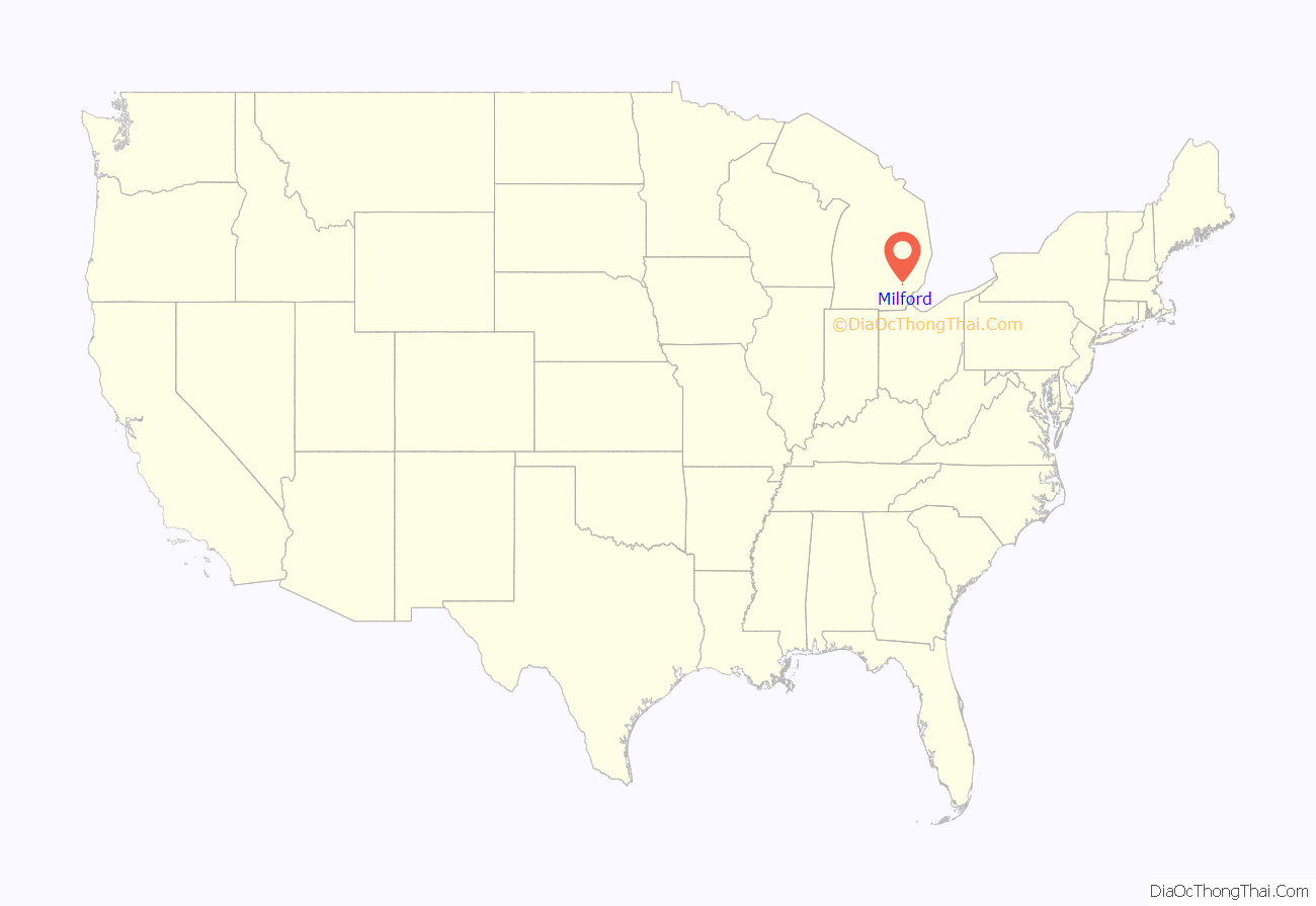
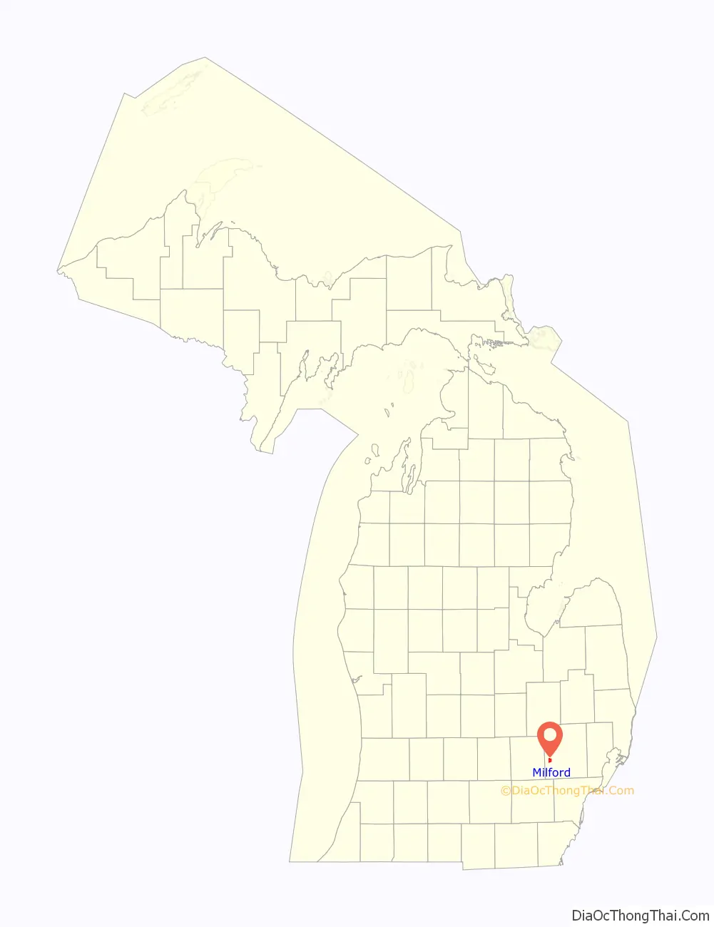
Milford location map. Where is Milford village?
History
The village of Milford began with the building of a sawmill by Elizur and Stanley Ruggles in 1832. Early county records indicate that the mill was erected in the “Township” at that time, and that formal organization would occur in 1834. That same year, the first gristmill was erected by Luman Fuller. In 1835, the first post office was established with Aaron Phelps as postmaster.
The Lower Mill Pond was created in 1836 to provide waterpower for the various types of mills and factories. The Upper Mill Pond followed in 1845. In 1911, the Hubbell Pond was created by a dam built on the Huron River to generate electricity. The village was incorporated in 1869.
Hydropower made it possible for Milford to become one of the first communities to have electric lights, in 1892. A year later, telephone service was available in the Village. As a point of reference, nearby South Lyon did not have electric lights until 1932.
By 1939, Henry Ford built a carburetor plant and two hydroelectric stations intended to allow residents to maintain their agricultural work while working in the factories. The former carburetor plant was demolished in 2002. The Art Deco station still remains on Pettibone Creek in the village, and restoration work began in 2004.
(Historical information gathered from the Milford Historical Society, The Oakland Press, “An Account of Oakland County”, listed in External Links.)
The summer of 2017 was the first year that the village has allowed golf carts on their streets. By November, only 10 carts were registered.
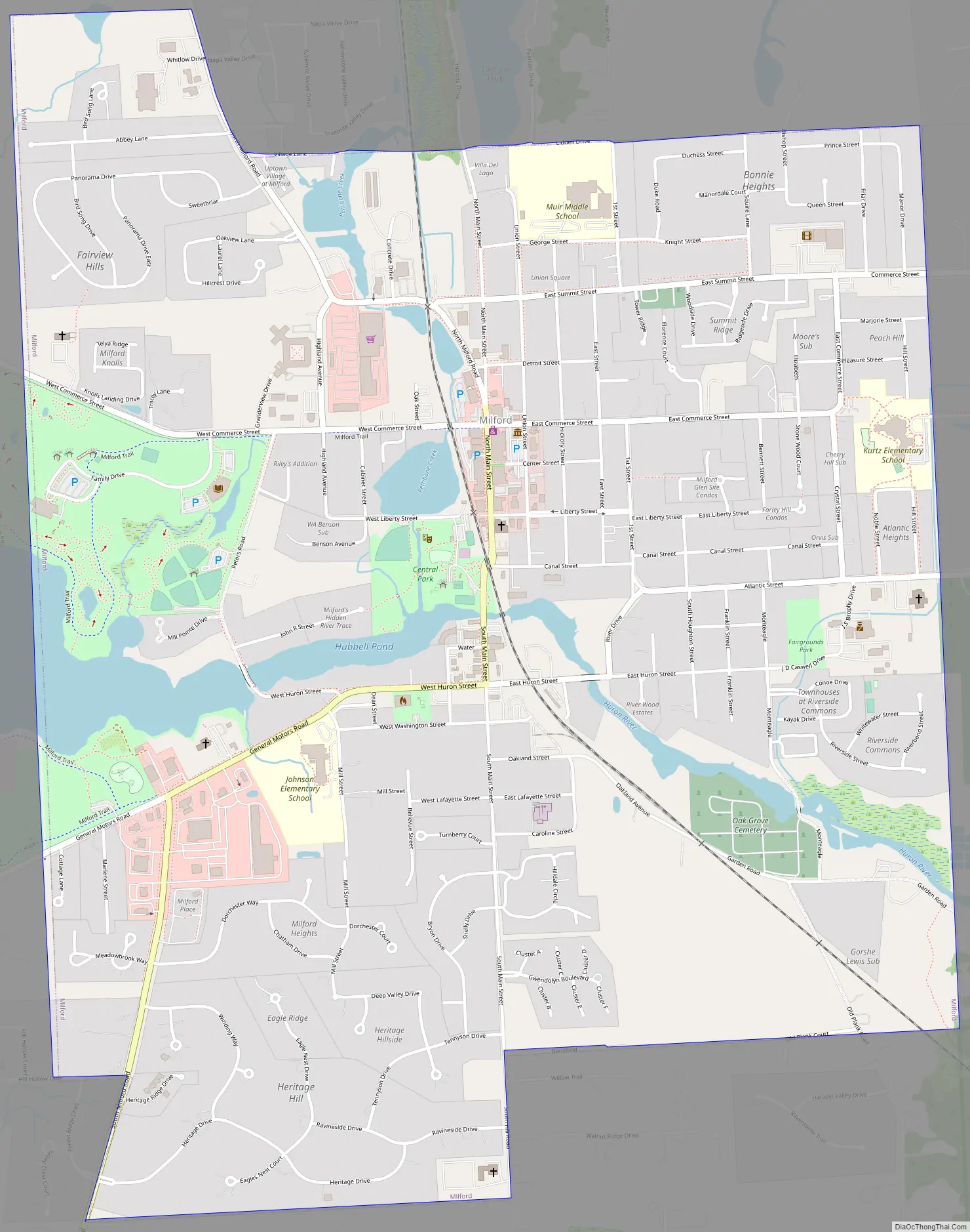
Milford Road Map
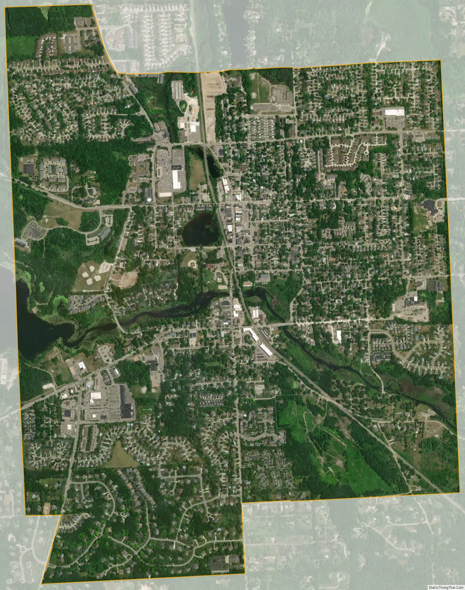
Milford city Satellite Map
Geography
According to the United States Census Bureau, the village has a total area of 2.52 square miles (6.53 km), of which 2.43 square miles (6.29 km) is land and 0.09 square miles (0.23 km) is water.
See also
Map of Michigan State and its subdivision:- Alcona
- Alger
- Allegan
- Alpena
- Antrim
- Arenac
- Baraga
- Barry
- Bay
- Benzie
- Berrien
- Branch
- Calhoun
- Cass
- Charlevoix
- Cheboygan
- Chippewa
- Clare
- Clinton
- Crawford
- Delta
- Dickinson
- Eaton
- Emmet
- Genesee
- Gladwin
- Gogebic
- Grand Traverse
- Gratiot
- Hillsdale
- Houghton
- Huron
- Ingham
- Ionia
- Iosco
- Iron
- Isabella
- Jackson
- Kalamazoo
- Kalkaska
- Kent
- Keweenaw
- Lake
- Lake Hurron
- Lake Michigan
- Lake St. Clair
- Lake Superior
- Lapeer
- Leelanau
- Lenawee
- Livingston
- Luce
- Mackinac
- Macomb
- Manistee
- Marquette
- Mason
- Mecosta
- Menominee
- Midland
- Missaukee
- Monroe
- Montcalm
- Montmorency
- Muskegon
- Newaygo
- Oakland
- Oceana
- Ogemaw
- Ontonagon
- Osceola
- Oscoda
- Otsego
- Ottawa
- Presque Isle
- Roscommon
- Saginaw
- Saint Clair
- Saint Joseph
- Sanilac
- Schoolcraft
- Shiawassee
- Tuscola
- Van Buren
- Washtenaw
- Wayne
- Wexford
- Alabama
- Alaska
- Arizona
- Arkansas
- California
- Colorado
- Connecticut
- Delaware
- District of Columbia
- Florida
- Georgia
- Hawaii
- Idaho
- Illinois
- Indiana
- Iowa
- Kansas
- Kentucky
- Louisiana
- Maine
- Maryland
- Massachusetts
- Michigan
- Minnesota
- Mississippi
- Missouri
- Montana
- Nebraska
- Nevada
- New Hampshire
- New Jersey
- New Mexico
- New York
- North Carolina
- North Dakota
- Ohio
- Oklahoma
- Oregon
- Pennsylvania
- Rhode Island
- South Carolina
- South Dakota
- Tennessee
- Texas
- Utah
- Vermont
- Virginia
- Washington
- West Virginia
- Wisconsin
- Wyoming


