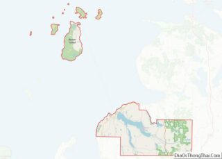
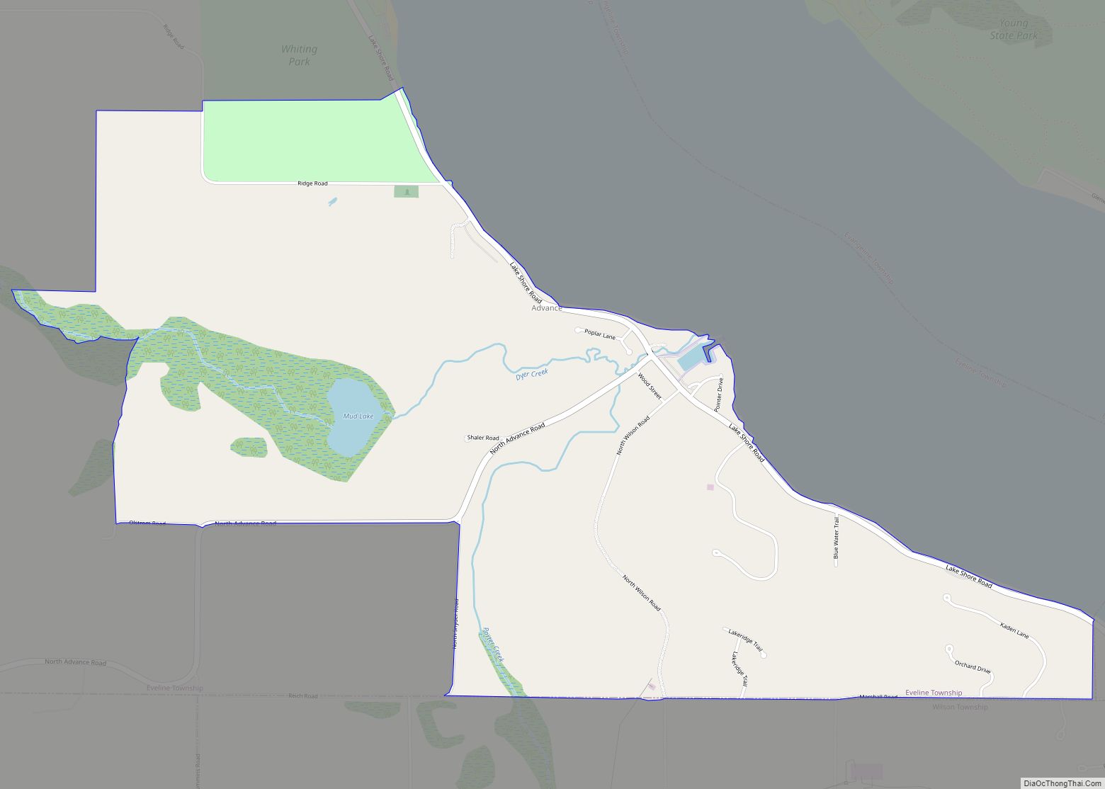
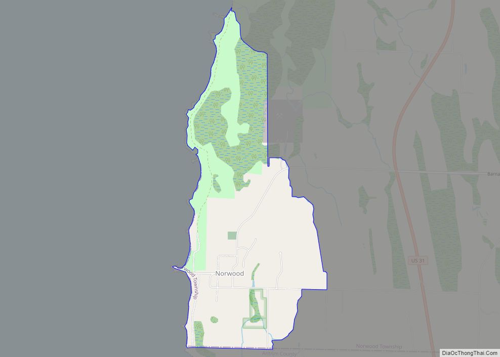
Norwood is an unincorporated community and census-designated place (CDP) in Charlevoix County in the U.S. state of Michigan. The population of the CDP was 144 at the 2020 census. It is located along the shores of Lake Michigan in Norwood Township.
| Name: | Norwood CDP |
|---|---|
| LSAD Code: | 57 |
| LSAD Description: | CDP (suffix) |
| State: | Michigan |
| County: | Charlevoix County |
| Elevation: | 656 ft (200 m) |
| Total Area: | 2.03 sq mi (5.26 km²) |
| Land Area: | 2.03 sq mi (5.26 km²) |
| Water Area: | 0.00 sq mi (0.00 km²) |
| Total Population: | 144 |
| Population Density: | 70.90/sq mi (27.37/km²) |
| Area code: | 231 |
| FIPS code: | 2659320 |
| GNISfeature ID: | 0633765 |
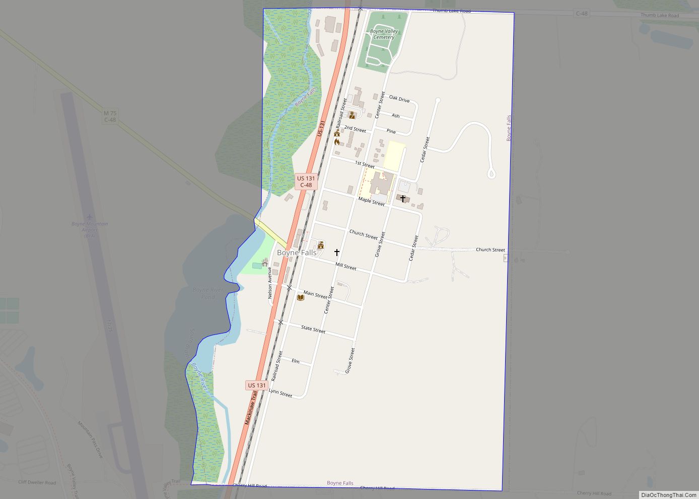
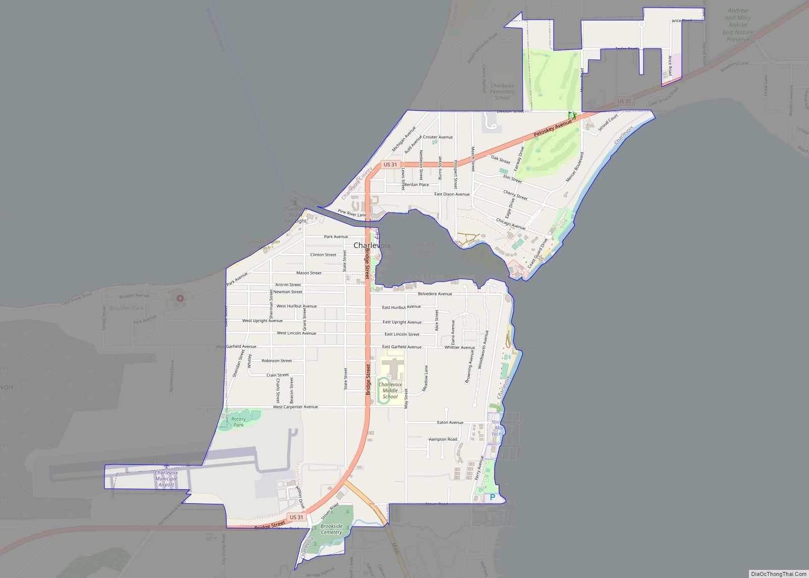
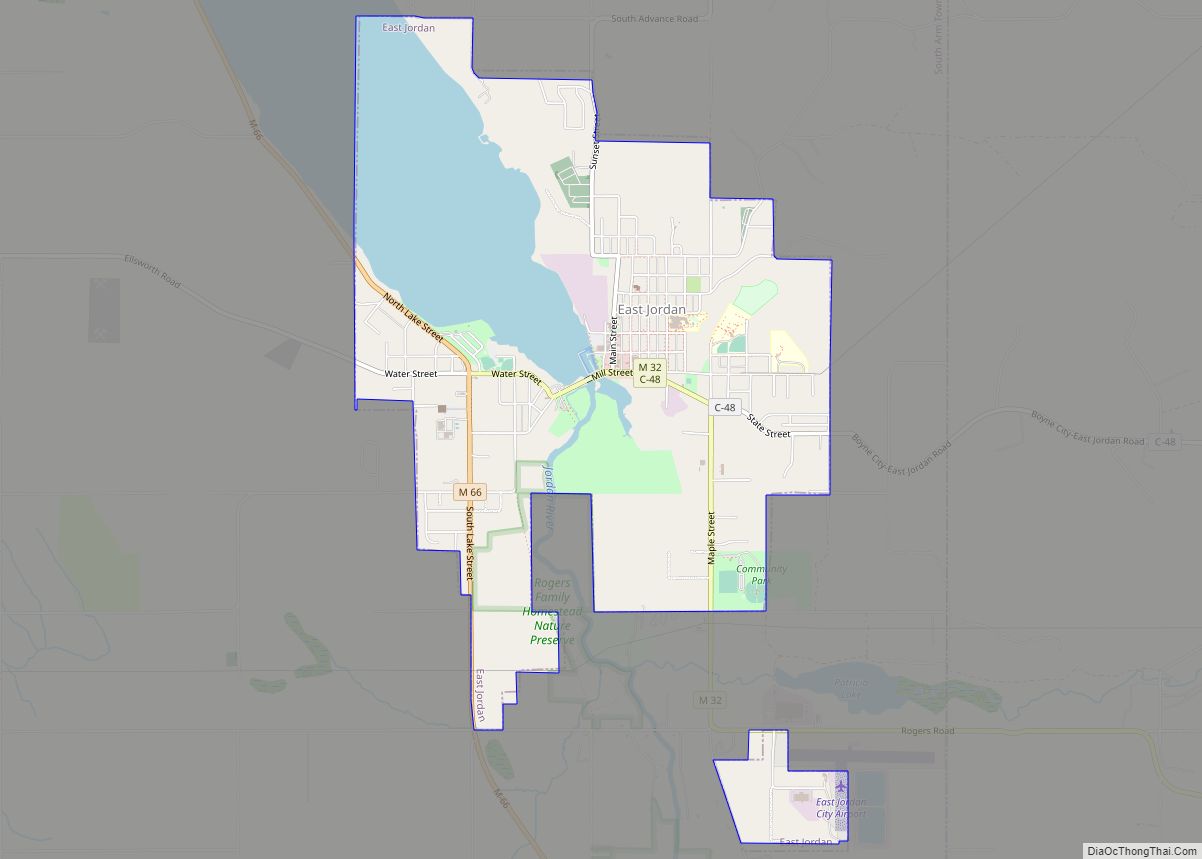
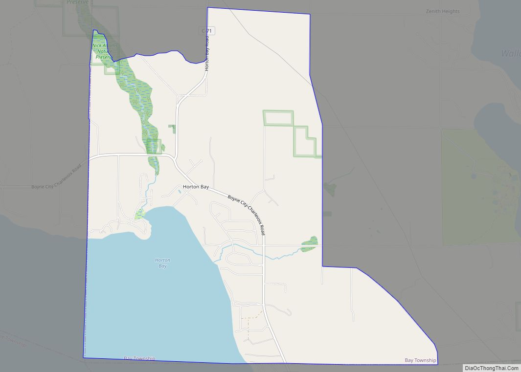
Online Interactive Map
Click on ![]() to view map in "full screen" mode.
to view map in "full screen" mode.
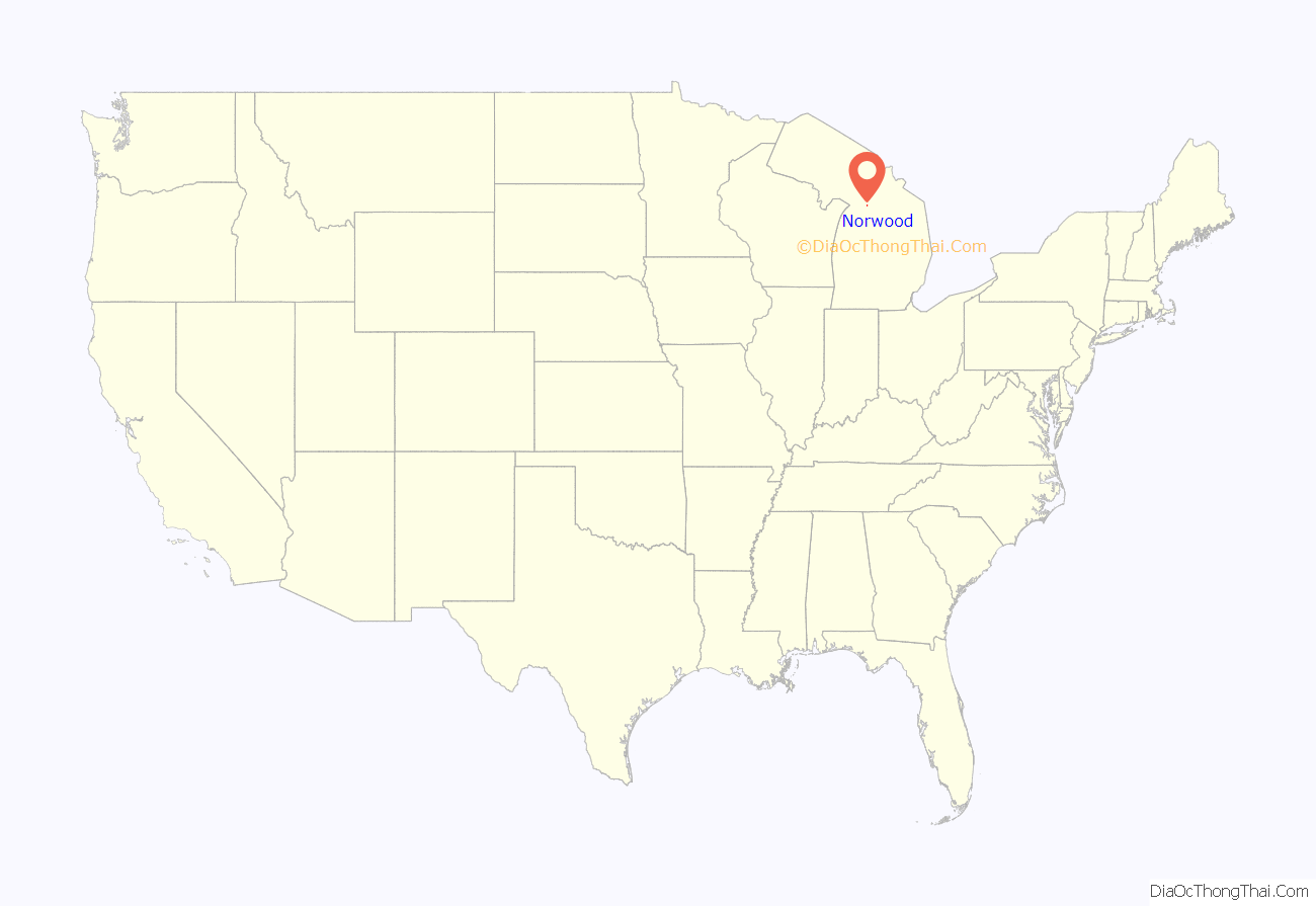
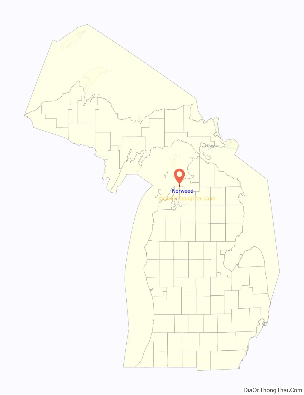
Norwood location map. Where is Norwood CDP?
History
The area was settled as early as 1867 when Orvis Wood and Lucius Pearl, and Orin Adams built a dock and sawmill here. At the time, it was part of Emmet County, as Charlevoix County was not organized in 1869. The following year, William Harris built a hotel, and it became an important shipping location. Harris served as the first postmaster when a post office opened on February 1, 1868. The name Norwood was chosen due to its located in the northern woods. The post office operated until April 30, 1913.
In 1867, the Norwood School District No. 1 was organized. In 1869, a frame schoolhouse was built, and the current structure was built in 1890. Due to low enrollment, the district merged with Charlevoix School District in 1957. The structure then served as a church building. It was purchased and restored to a museum by the Norwood Area Historic Society in 2004. In 2017, the former schoolhouse was dedicated as a Michigan State Historic Site.
The community of Norwood was listed as a newly-organized census-designated place for the 2010 census, meaning it now has officially defined boundaries and population statistics for the first time. Norwood uses the Charlevoix 49720 ZIP Code.
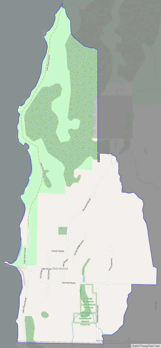
Norwood Road Map
Norwood city Satellite Map
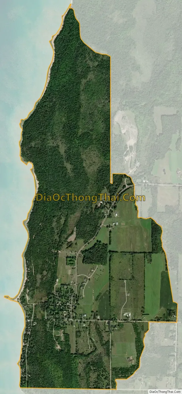
Geography
According to the U.S. Census Bureau, the Advance CDP has a total area of 2.03 square miles (5.26 km), all land.
Major highways
- US 31 runs south–north near the eastern boundary of the Norwood CDP.
See also
Map of Michigan State and its subdivision:- Alcona
- Alger
- Allegan
- Alpena
- Antrim
- Arenac
- Baraga
- Barry
- Bay
- Benzie
- Berrien
- Branch
- Calhoun
- Cass
- Charlevoix
- Cheboygan
- Chippewa
- Clare
- Clinton
- Crawford
- Delta
- Dickinson
- Eaton
- Emmet
- Genesee
- Gladwin
- Gogebic
- Grand Traverse
- Gratiot
- Hillsdale
- Houghton
- Huron
- Ingham
- Ionia
- Iosco
- Iron
- Isabella
- Jackson
- Kalamazoo
- Kalkaska
- Kent
- Keweenaw
- Lake
- Lake Hurron
- Lake Michigan
- Lake St. Clair
- Lake Superior
- Lapeer
- Leelanau
- Lenawee
- Livingston
- Luce
- Mackinac
- Macomb
- Manistee
- Marquette
- Mason
- Mecosta
- Menominee
- Midland
- Missaukee
- Monroe
- Montcalm
- Montmorency
- Muskegon
- Newaygo
- Oakland
- Oceana
- Ogemaw
- Ontonagon
- Osceola
- Oscoda
- Otsego
- Ottawa
- Presque Isle
- Roscommon
- Saginaw
- Saint Clair
- Saint Joseph
- Sanilac
- Schoolcraft
- Shiawassee
- Tuscola
- Van Buren
- Washtenaw
- Wayne
- Wexford
- Alabama
- Alaska
- Arizona
- Arkansas
- California
- Colorado
- Connecticut
- Delaware
- District of Columbia
- Florida
- Georgia
- Hawaii
- Idaho
- Illinois
- Indiana
- Iowa
- Kansas
- Kentucky
- Louisiana
- Maine
- Maryland
- Massachusetts
- Michigan
- Minnesota
- Mississippi
- Missouri
- Montana
- Nebraska
- Nevada
- New Hampshire
- New Jersey
- New Mexico
- New York
- North Carolina
- North Dakota
- Ohio
- Oklahoma
- Oregon
- Pennsylvania
- Rhode Island
- South Carolina
- South Dakota
- Tennessee
- Texas
- Utah
- Vermont
- Virginia
- Washington
- West Virginia
- Wisconsin
- Wyoming