Omena (/ˈoʊmiːnə/ oh-MEE-nə) is a small unincorporated community and census-designated place (CDP) in Leelanau Township of Leelanau County in the U.S. state of Michigan. As of the 2020 census it had a population of 295. Overlooking Omena Bay, on the western side of Grand Traverse Bay, Omena is home to wineries and farms including a thriving organic farming movement that includes cherries and hops. The area has several wineries featuring some of the region’s cherry and grape crop, for which the Grand Traverse and Leelanau areas are known. The nearest substantial city is Traverse City, 23 miles (37 km) to the south.
| Name: | Omena CDP |
|---|---|
| LSAD Code: | 57 |
| LSAD Description: | CDP (suffix) |
| State: | Michigan |
| County: | Leelanau County |
| Elevation: | 604 ft (184 m) |
| Total Area: | 4.57 sq mi (11.83 km²) |
| Land Area: | 4.52 sq mi (11.70 km²) |
| Water Area: | 0.05 sq mi (0.13 km²) |
| Total Population: | 295 |
| Population Density: | 65.28/sq mi (25.20/km²) |
| Area code: | 231 |
| FIPS code: | 2660640 |
| GNISfeature ID: | 634055 |
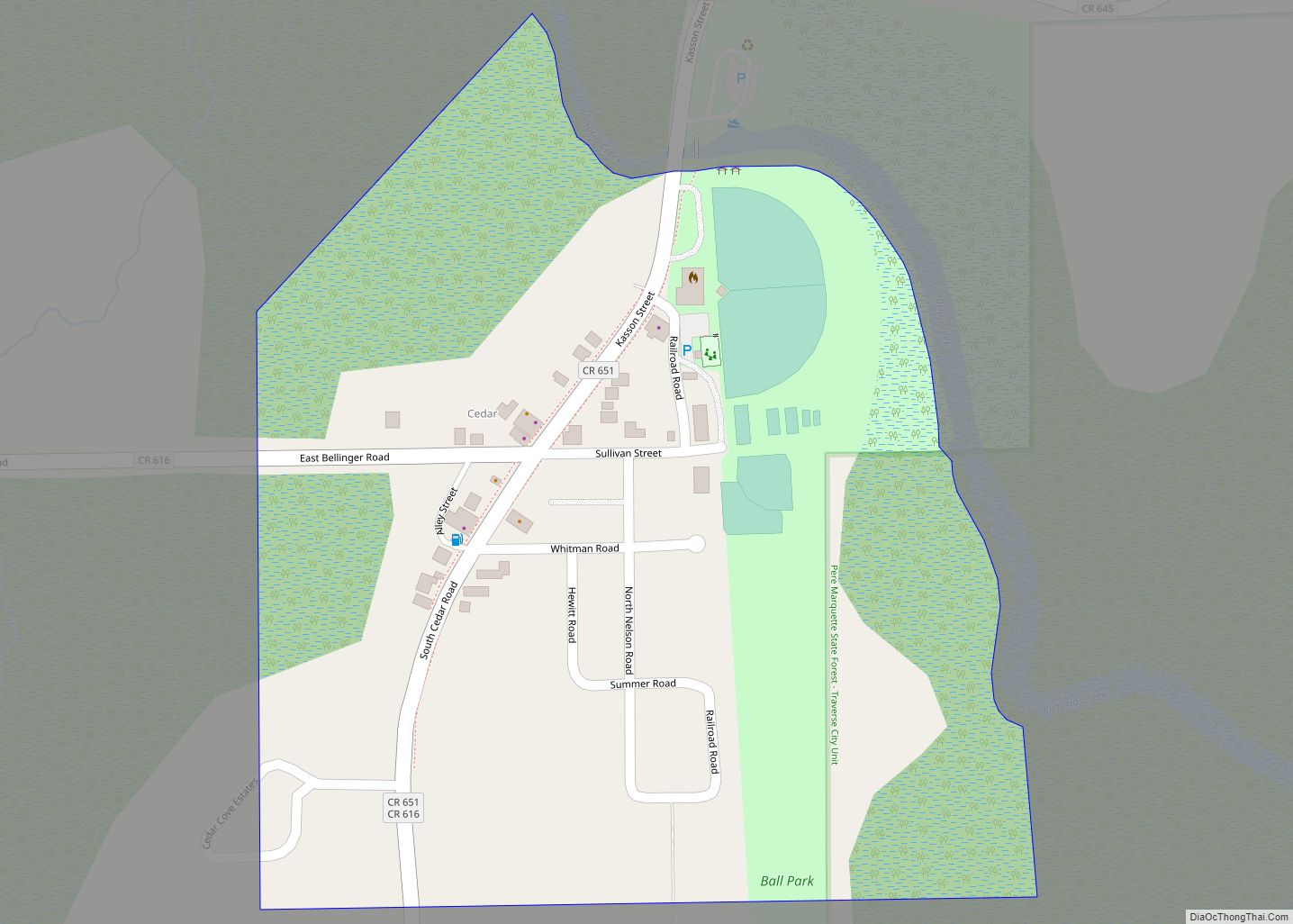
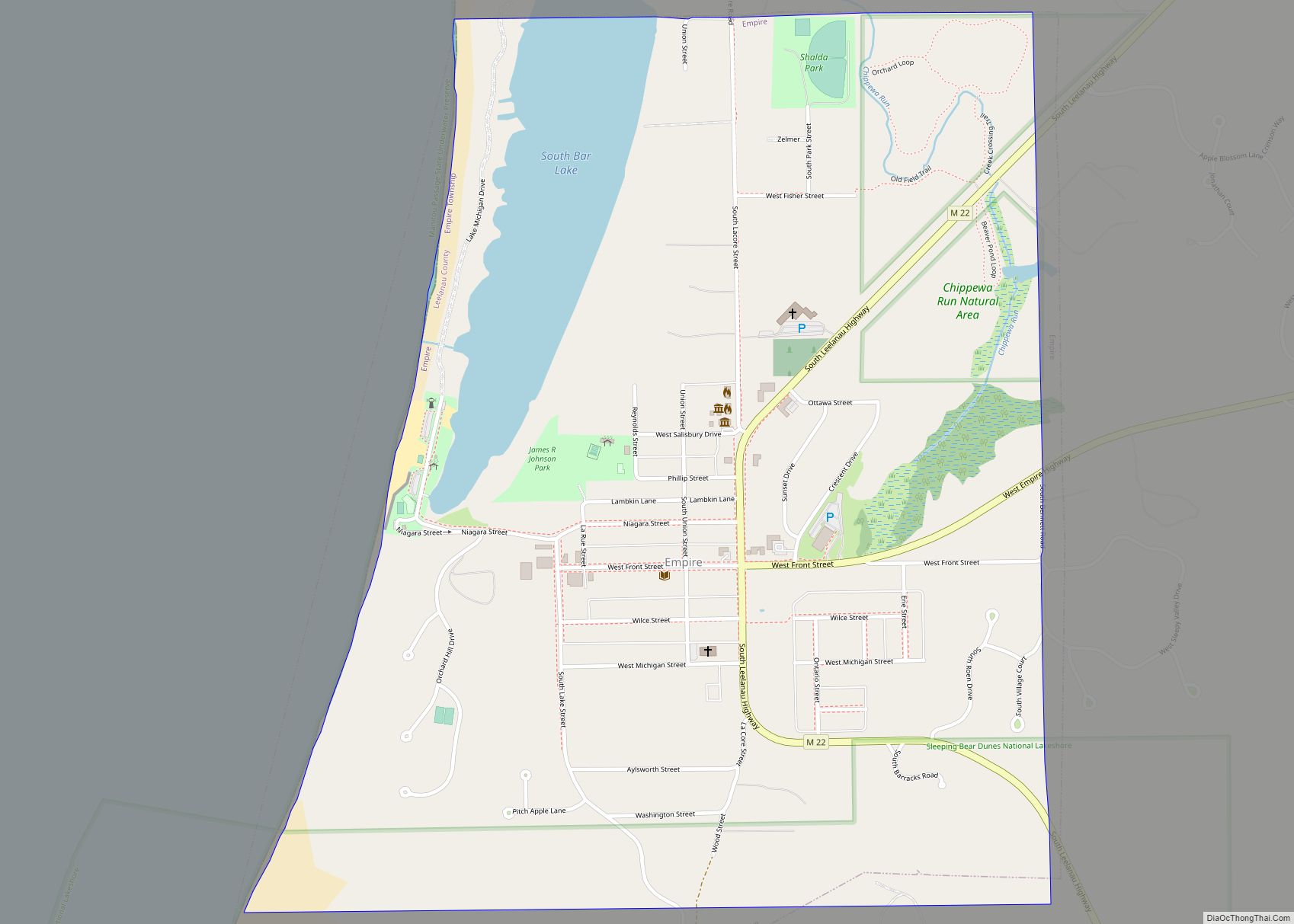
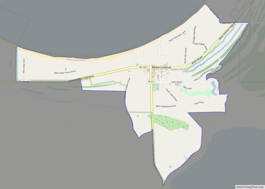
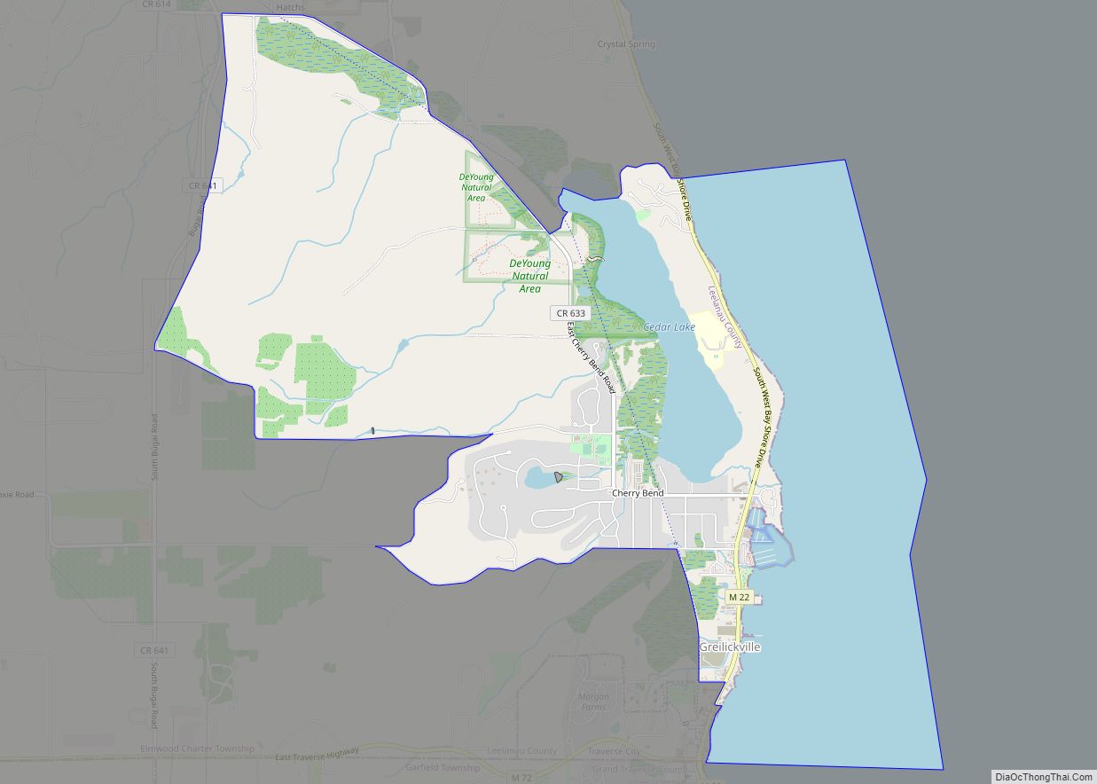
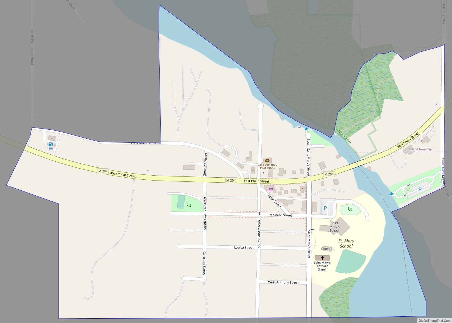
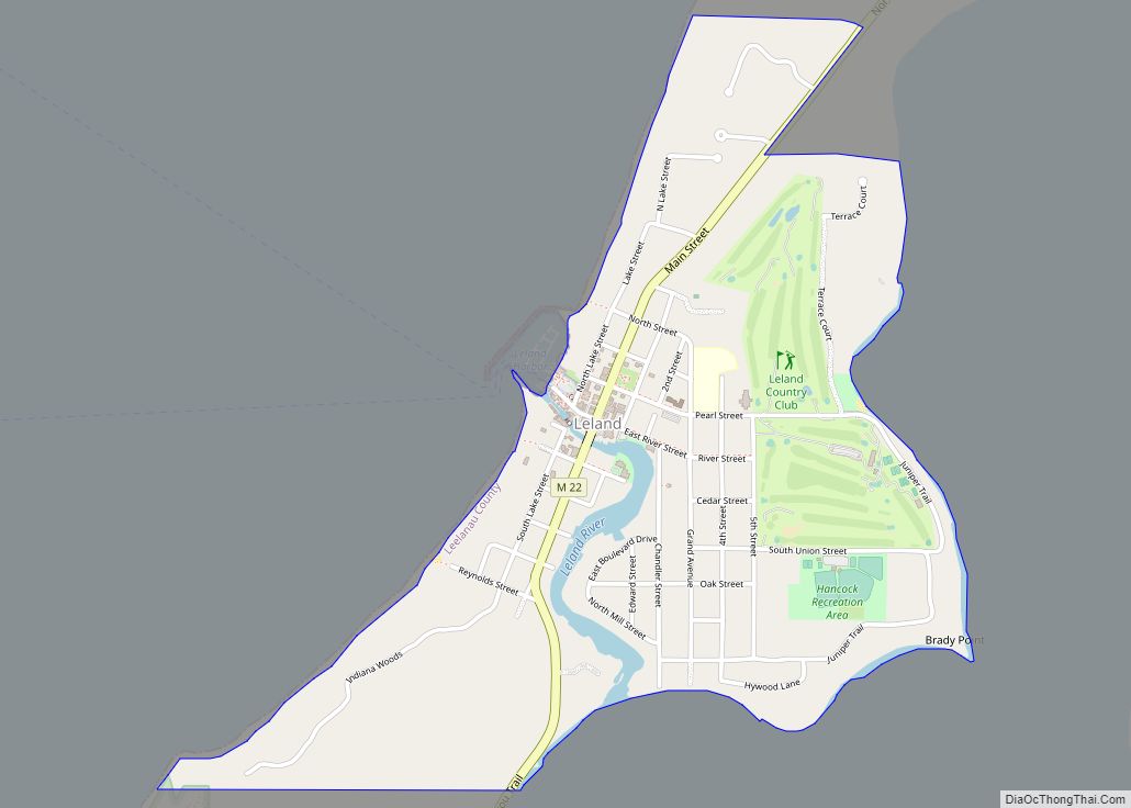
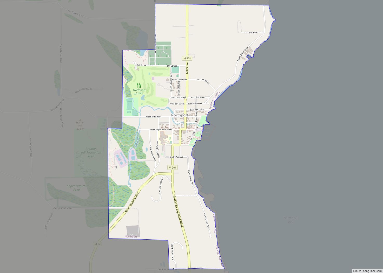
Online Interactive Map
Click on ![]() to view map in "full screen" mode.
to view map in "full screen" mode.
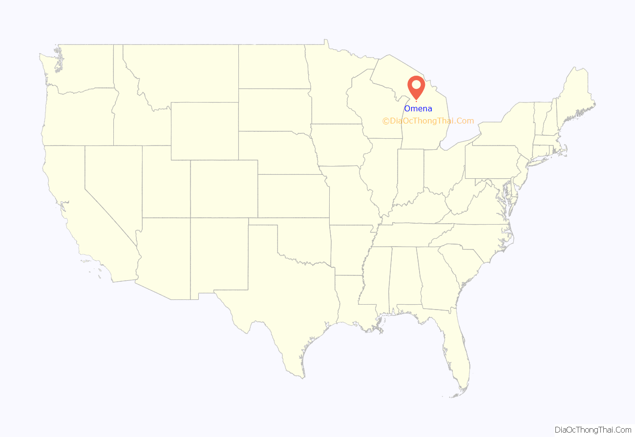
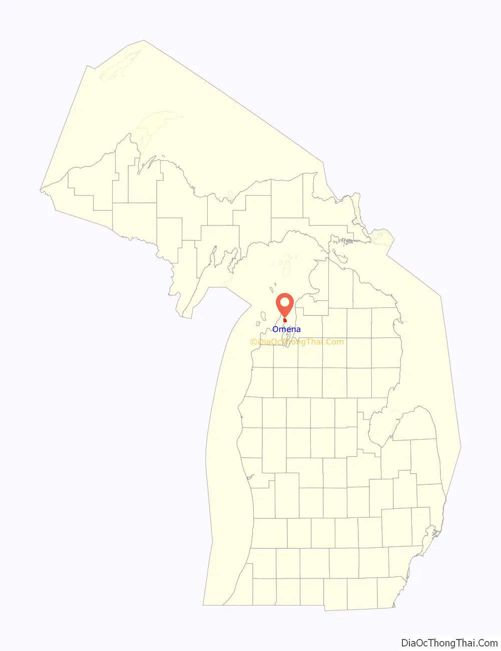
Omena location map. Where is Omena CDP?
History
In 1852, the Rev. Peter Daugherty relocated an Indian mission from Old Mission on the Old Mission Peninsula across the western arm of the Grand Traverse Bay to what was at first called “New Mission”. He (built) a small Presbyterian church there as the nucleus of the community. The church continues an active schedule of services during the summer months.
It was a stop on the Grand Rapids and Indiana Railroad and was regarded as a summer resort area. Among others, Benjamin Grierson, a U.S. Civil War general, had a summer home in Omena, as did General Byron Cutcheon.
Etymology
Omena is derived from an Ojibwe expression, “o-me-nah“, meaning “is it so?”
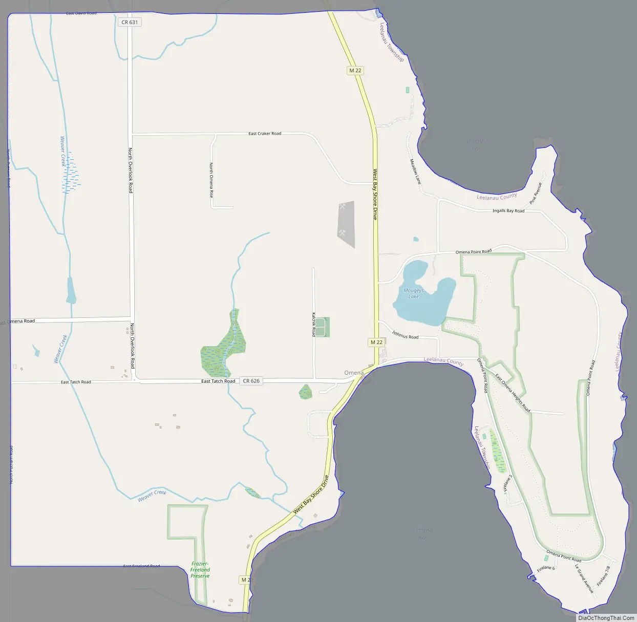
Omena Road Map
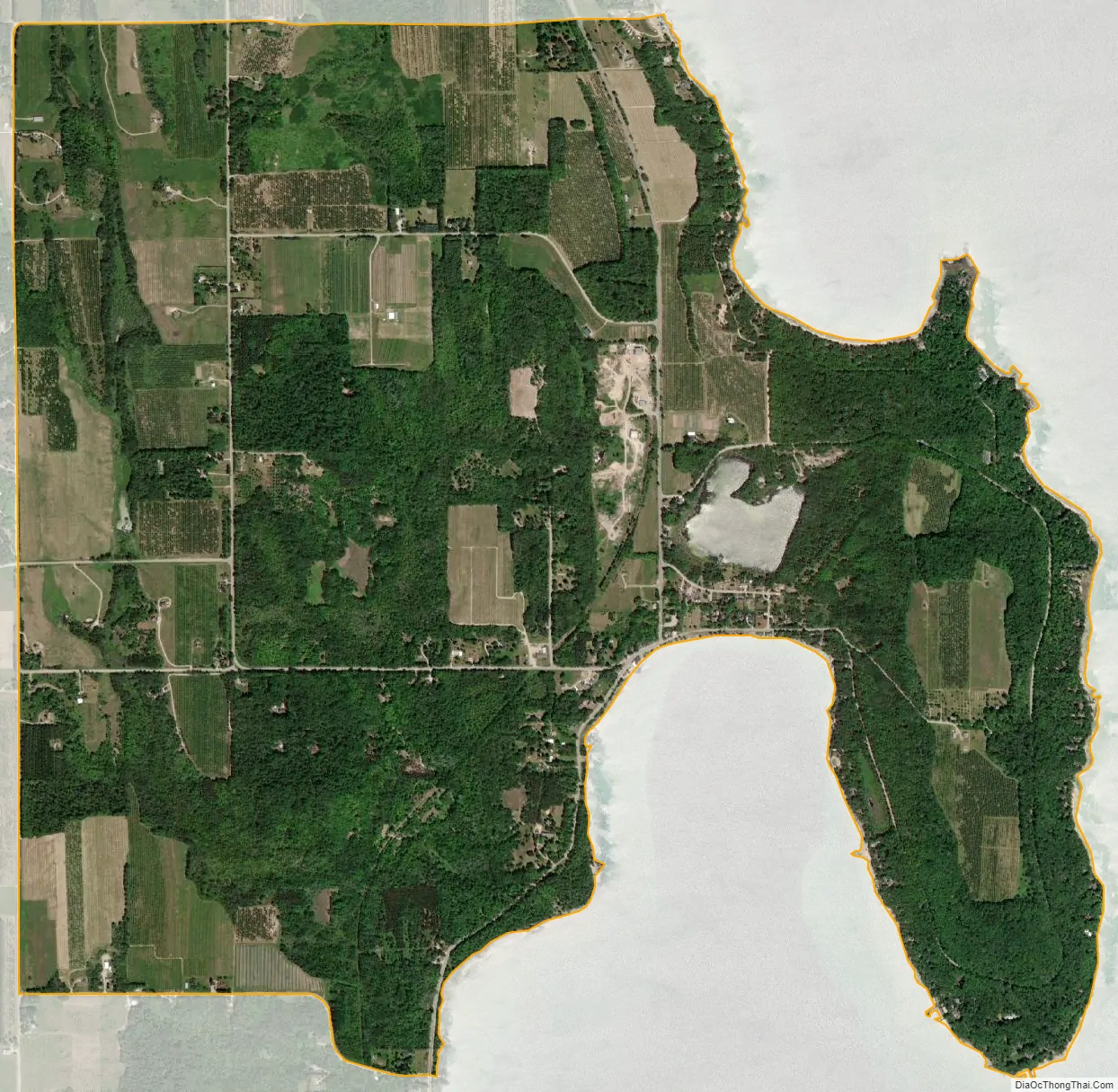
Omena city Satellite Map
Geography
Omena is in northeastern Leelanau County on the west side of Grand Traverse Bay, an arm of Lake Michigan. It is served by one state highway, M-22, which leads south 23 miles (37 km) to Traverse City and north 5 miles (8 km) to Northport.
According to the U.S. Census Bureau, the Omena CDP has a total area of 4.6 square miles (11.8 km), of which 4.5 square miles (11.7 km) are land and 0.05 square miles (0.13 km), or 1.10%, are water.
See also
Map of Michigan State and its subdivision:- Alcona
- Alger
- Allegan
- Alpena
- Antrim
- Arenac
- Baraga
- Barry
- Bay
- Benzie
- Berrien
- Branch
- Calhoun
- Cass
- Charlevoix
- Cheboygan
- Chippewa
- Clare
- Clinton
- Crawford
- Delta
- Dickinson
- Eaton
- Emmet
- Genesee
- Gladwin
- Gogebic
- Grand Traverse
- Gratiot
- Hillsdale
- Houghton
- Huron
- Ingham
- Ionia
- Iosco
- Iron
- Isabella
- Jackson
- Kalamazoo
- Kalkaska
- Kent
- Keweenaw
- Lake
- Lake Hurron
- Lake Michigan
- Lake St. Clair
- Lake Superior
- Lapeer
- Leelanau
- Lenawee
- Livingston
- Luce
- Mackinac
- Macomb
- Manistee
- Marquette
- Mason
- Mecosta
- Menominee
- Midland
- Missaukee
- Monroe
- Montcalm
- Montmorency
- Muskegon
- Newaygo
- Oakland
- Oceana
- Ogemaw
- Ontonagon
- Osceola
- Oscoda
- Otsego
- Ottawa
- Presque Isle
- Roscommon
- Saginaw
- Saint Clair
- Saint Joseph
- Sanilac
- Schoolcraft
- Shiawassee
- Tuscola
- Van Buren
- Washtenaw
- Wayne
- Wexford
- Alabama
- Alaska
- Arizona
- Arkansas
- California
- Colorado
- Connecticut
- Delaware
- District of Columbia
- Florida
- Georgia
- Hawaii
- Idaho
- Illinois
- Indiana
- Iowa
- Kansas
- Kentucky
- Louisiana
- Maine
- Maryland
- Massachusetts
- Michigan
- Minnesota
- Mississippi
- Missouri
- Montana
- Nebraska
- Nevada
- New Hampshire
- New Jersey
- New Mexico
- New York
- North Carolina
- North Dakota
- Ohio
- Oklahoma
- Oregon
- Pennsylvania
- Rhode Island
- South Carolina
- South Dakota
- Tennessee
- Texas
- Utah
- Vermont
- Virginia
- Washington
- West Virginia
- Wisconsin
- Wyoming