Petersburg is a city in Monroe County in the U.S. state of Michigan. The population was 1,171 at the 2020 census.
At 0.49 square miles (1.27 km), Petersburg is ranked as the smallest city by total area in the state of Michigan. Although, the city of Clarkston has a larger total area (when water is included) but a smaller land area at only 0.44 square miles (1.14 km), which ranks Petersburg as the second-smallest city in land area.
| Name: | Petersburg city |
|---|---|
| LSAD Code: | 25 |
| LSAD Description: | city (suffix) |
| State: | Michigan |
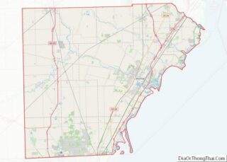
| County: | Monroe County |
| Incorporated: | 1869 (village) 1967 (city) |
| Elevation: | 676 ft (206 m) |
| Total Area: | 0.49 sq mi (1.27 km²) |
| Land Area: | 0.48 sq mi (1.24 km²) |
| Water Area: | 0.01 sq mi (0.03 km²) |
| Total Population: | 1,171 |
| Population Density: | 2,424.43/sq mi (936.48/km²) |
| Area code: | 734 |
| FIPS code: | 2663800 |
| GNISfeature ID: | 0634708 |
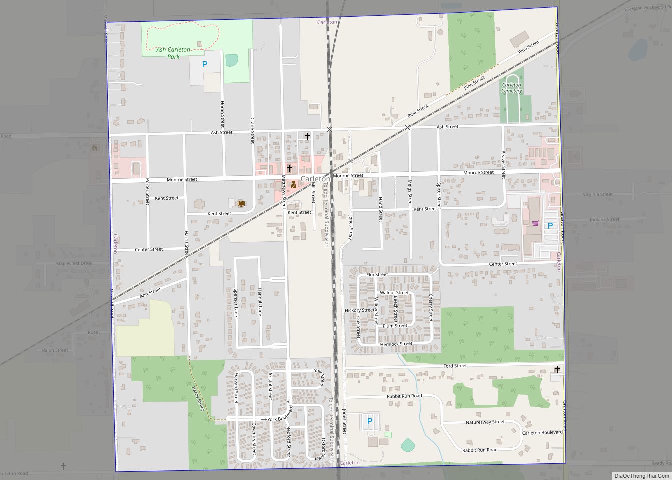
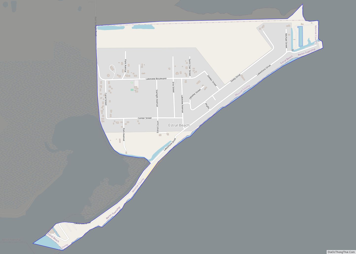
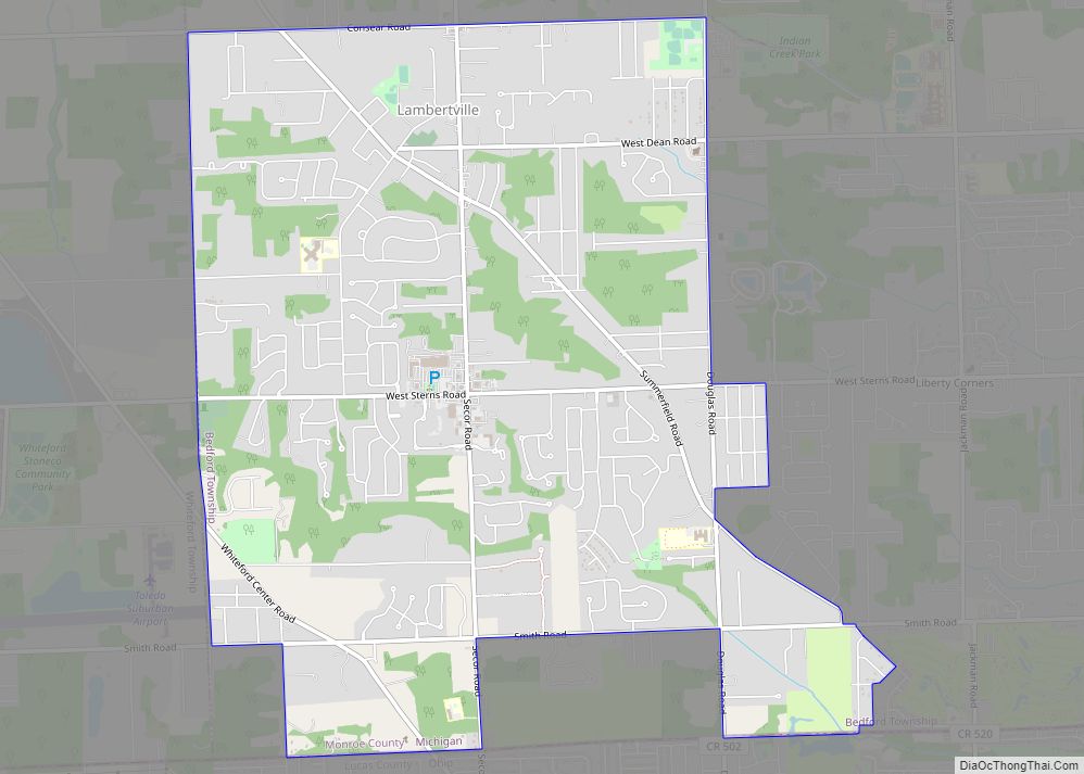
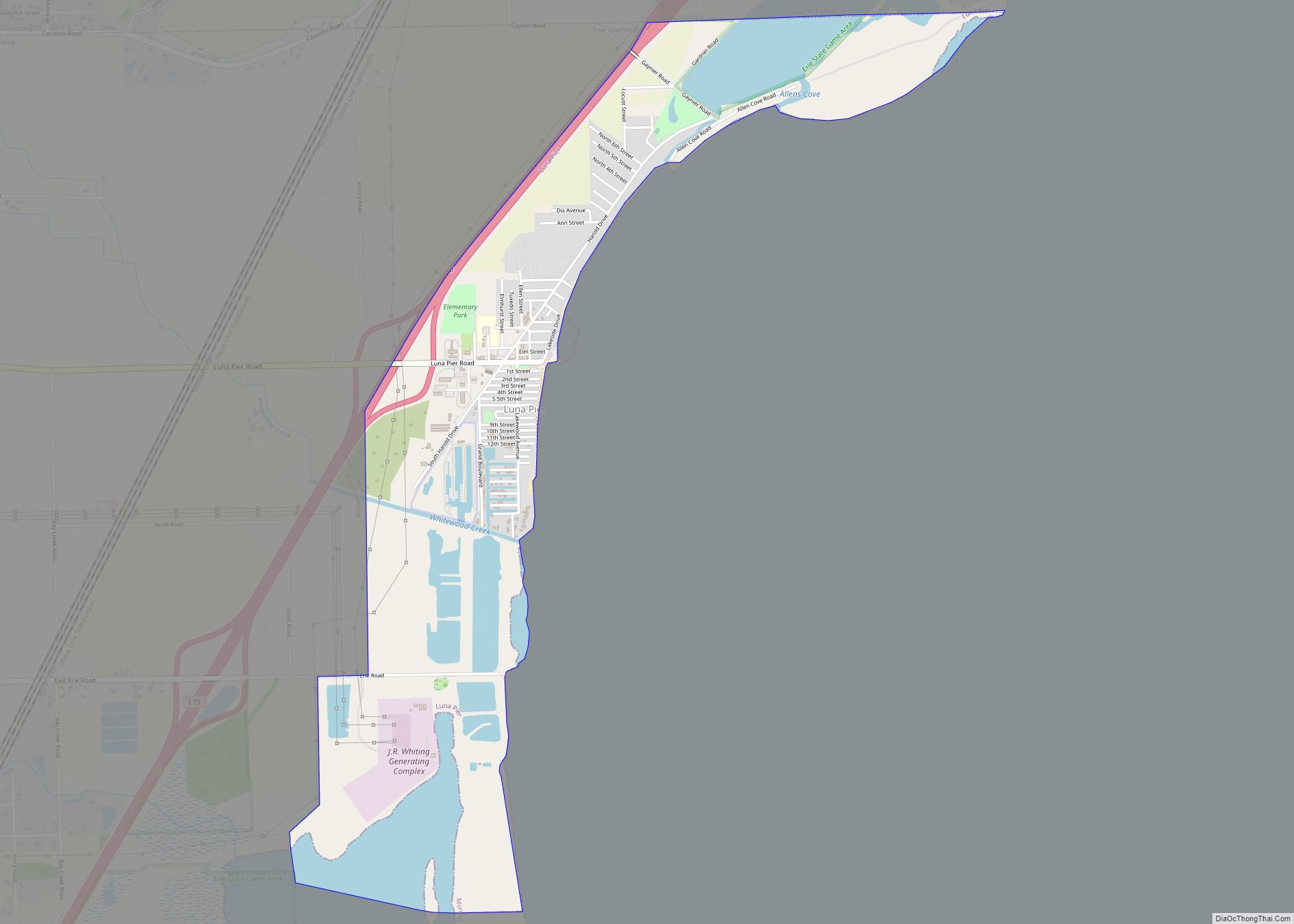
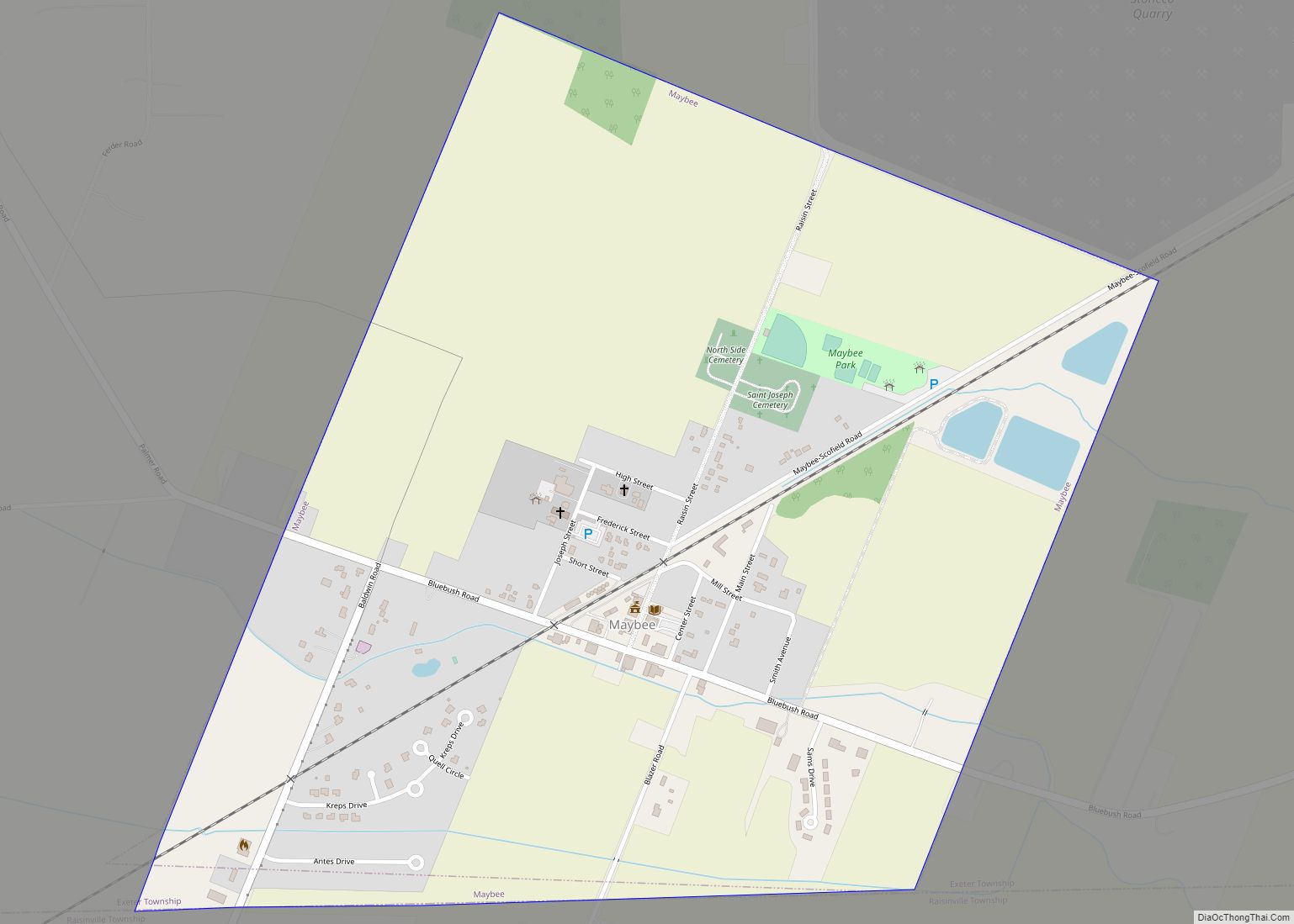
Online Interactive Map
Click on ![]() to view map in "full screen" mode.
to view map in "full screen" mode.
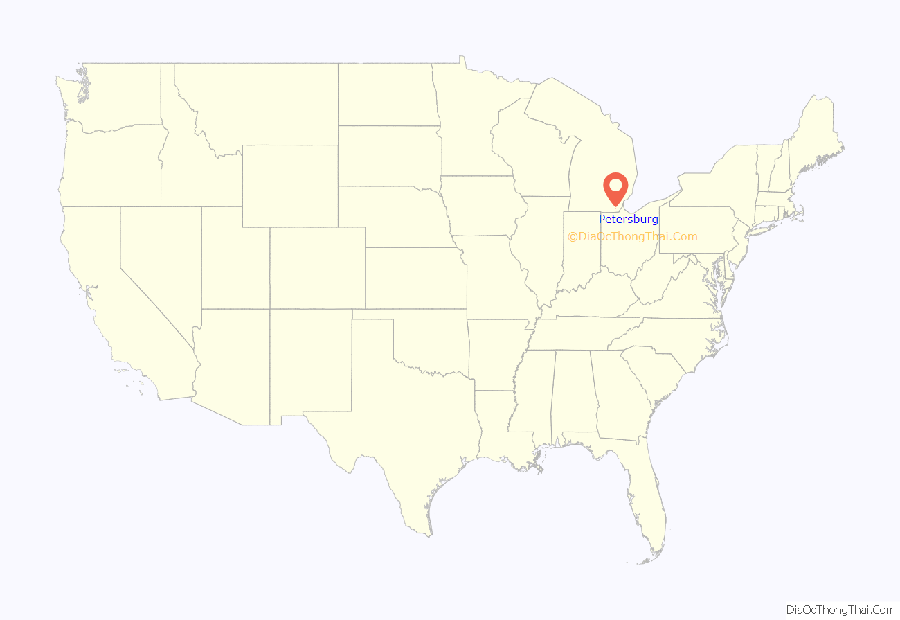
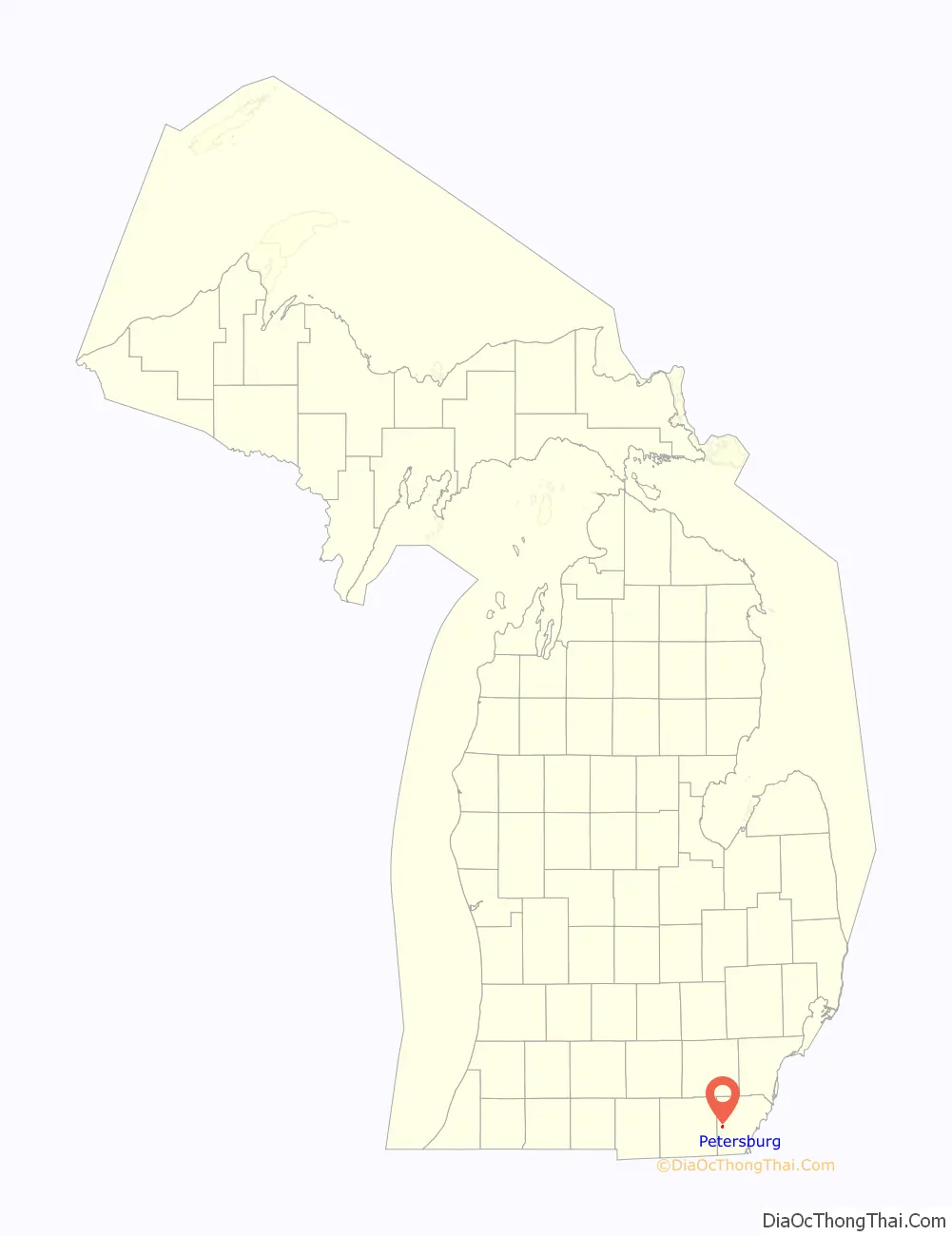
Petersburg location map. Where is Petersburg city?
History
The area was originally farmland settled by Richard Peters as early as 1824, and he became the first postmaster when the Summerfield post office was established in April 1831. Monroe natives Thomas Cole and Austin Wing formally established the community on land purchased from Peters in 1836. The post office was renamed Petersburgh on January 14, 1863. The community incorporated as a village in 1869. The post office was shortened to Petersburg on December 18, 1893. The village incorporated as a city in 1967.
Petersburg Road Map
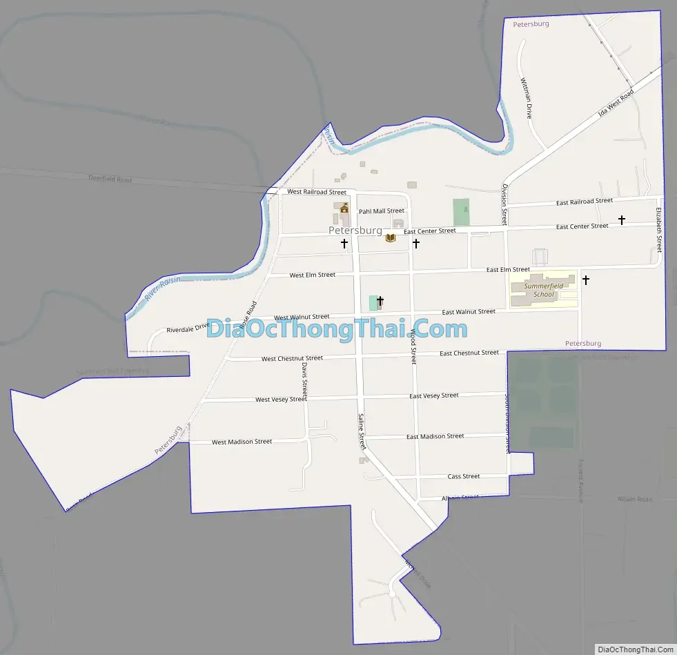
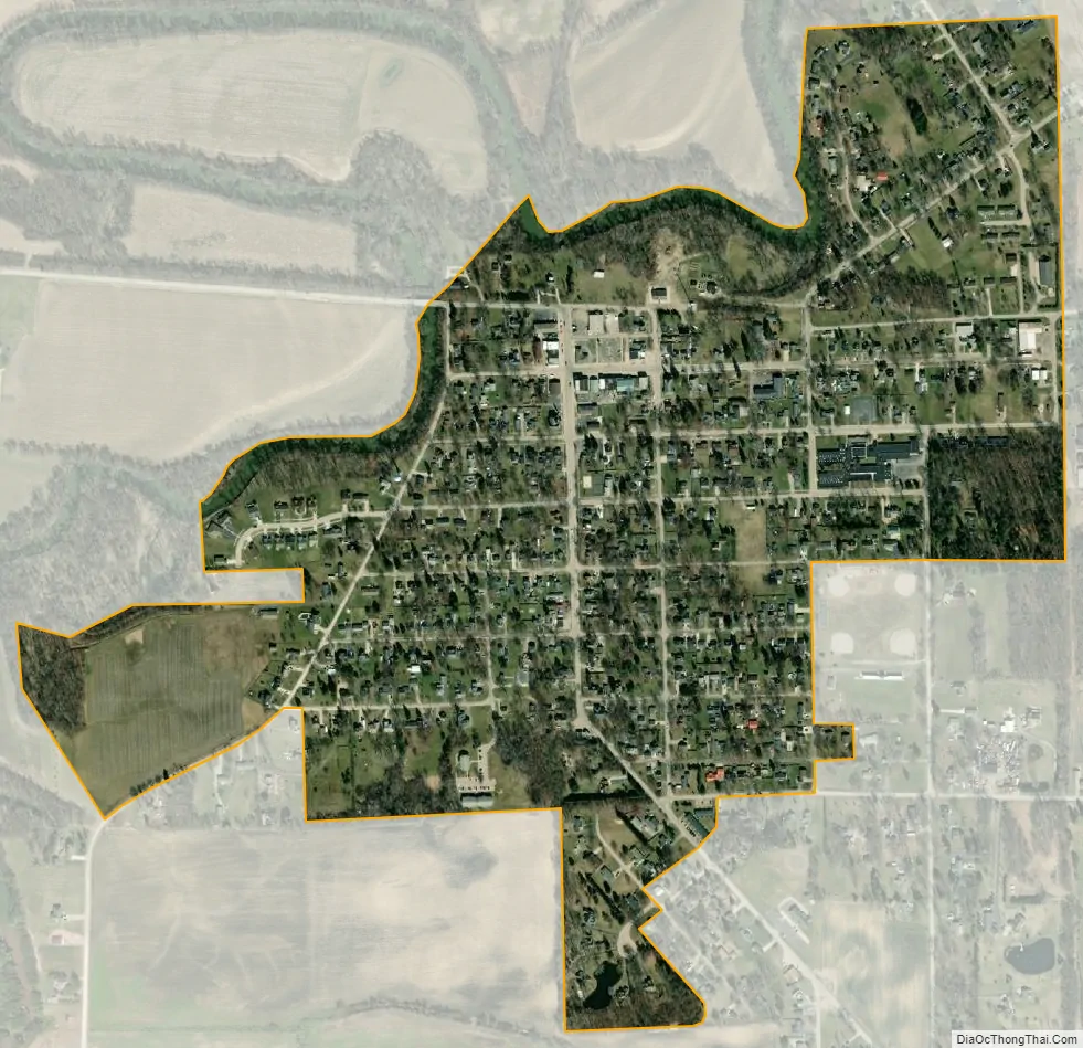
Petersburg city Satellite Map
Geography
According to the U.S. Census Bureau, the city has a total area of 0.49 square miles (1.27 km), of which 0.48 square miles (1.24 km) is land and 0.01 square miles (0.03 km) (2.04%) is water.
See also
Map of Michigan State and its subdivision:- Alcona
- Alger
- Allegan
- Alpena
- Antrim
- Arenac
- Baraga
- Barry
- Bay
- Benzie
- Berrien
- Branch
- Calhoun
- Cass
- Charlevoix
- Cheboygan
- Chippewa
- Clare
- Clinton
- Crawford
- Delta
- Dickinson
- Eaton
- Emmet
- Genesee
- Gladwin
- Gogebic
- Grand Traverse
- Gratiot
- Hillsdale
- Houghton
- Huron
- Ingham
- Ionia
- Iosco
- Iron
- Isabella
- Jackson
- Kalamazoo
- Kalkaska
- Kent
- Keweenaw
- Lake
- Lake Hurron
- Lake Michigan
- Lake St. Clair
- Lake Superior
- Lapeer
- Leelanau
- Lenawee
- Livingston
- Luce
- Mackinac
- Macomb
- Manistee
- Marquette
- Mason
- Mecosta
- Menominee
- Midland
- Missaukee
- Monroe
- Montcalm
- Montmorency
- Muskegon
- Newaygo
- Oakland
- Oceana
- Ogemaw
- Ontonagon
- Osceola
- Oscoda
- Otsego
- Ottawa
- Presque Isle
- Roscommon
- Saginaw
- Saint Clair
- Saint Joseph
- Sanilac
- Schoolcraft
- Shiawassee
- Tuscola
- Van Buren
- Washtenaw
- Wayne
- Wexford
- Alabama
- Alaska
- Arizona
- Arkansas
- California
- Colorado
- Connecticut
- Delaware
- District of Columbia
- Florida
- Georgia
- Hawaii
- Idaho
- Illinois
- Indiana
- Iowa
- Kansas
- Kentucky
- Louisiana
- Maine
- Maryland
- Massachusetts
- Michigan
- Minnesota
- Mississippi
- Missouri
- Montana
- Nebraska
- Nevada
- New Hampshire
- New Jersey
- New Mexico
- New York
- North Carolina
- North Dakota
- Ohio
- Oklahoma
- Oregon
- Pennsylvania
- Rhode Island
- South Carolina
- South Dakota
- Tennessee
- Texas
- Utah
- Vermont
- Virginia
- Washington
- West Virginia
- Wisconsin
- Wyoming