Rockford is a city in Kent County in the U.S. state of Michigan. The population was 5,719 at the 2010 census.
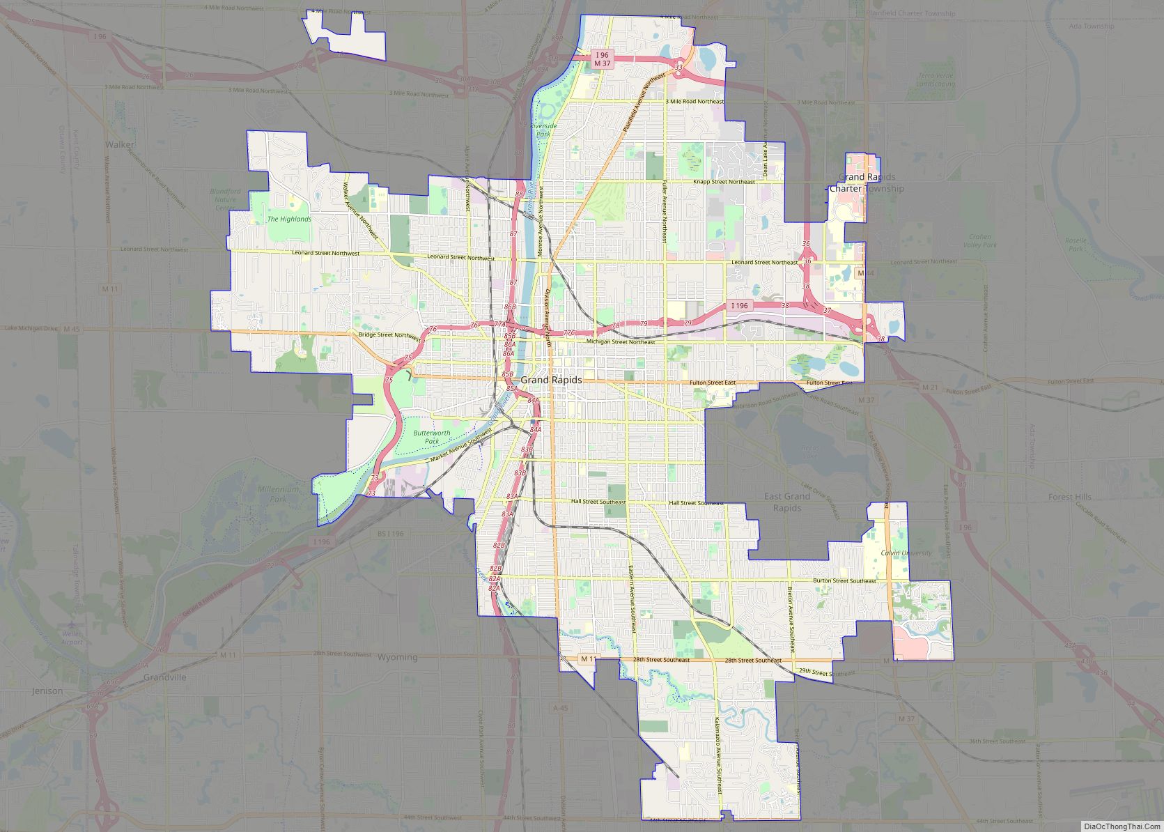
Located along the Rogue River, the city is part of the Grand Rapids metropolitan area and is about 10 miles (16.1 km) north of the city of Grand Rapids.
| Name: | Rockford city |
|---|---|
| LSAD Code: | 25 |
| LSAD Description: | city (suffix) |
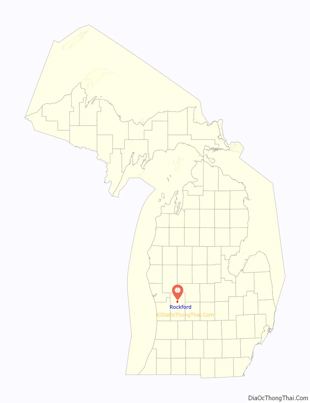
| State: | Michigan |
| County: | Kent County |
| Incorporated: | 1866 (village) 1935 (city) |
| Elevation: | 709 ft (216 m) |
| Total Area: | 3.29 sq mi (8.52 km²) |
| Land Area: | 3.22 sq mi (8.35 km²) |
| Water Area: | 0.07 sq mi (0.17 km²) |
| Total Population: | 6,175 |
| Population Density: | 1,905.09/sq mi (735.65/km²) |
| Area code: | 616 |
| FIPS code: | 2669080 |
| GNISfeature ID: | 1626991 |
Online Interactive Map
Click on ![]() to view map in "full screen" mode.
to view map in "full screen" mode.
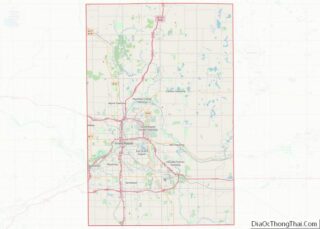
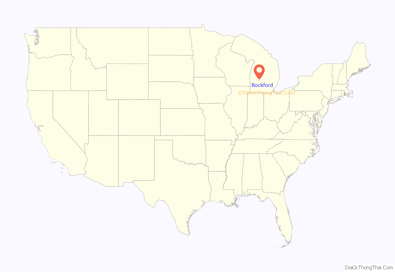
Rockford location map. Where is Rockford city?
History
The area was first settled by Marlin Hunter, who settled along the Rogue River in 1842. By 1845, several other families arrived and settled the community under the name Laphamville, and the community received a post office under that name. The community was platted in 1865 and incorporated as a village in 1866. At that time, the community’s name changed to Rockford. The community was originally based around the lumber industry but was soon supported by a shoe factory and tannery at the turn of the century. The village incorporated as a city in 1935.
Wolverine World Wide has major operations in the city for over 100 years. In modern times, its former tannery site used Scotchgard chemicals to waterproof shoes, which contaminated local areas with the active ingredients at the time of PFOA and PFOS.
The downtown area hosts a summer farmer’s market on Saturday. The city also hosts a Fall Harvest Festival. Start of Summer Celebration is a community organization annually held in early June at the beginning of summertime.
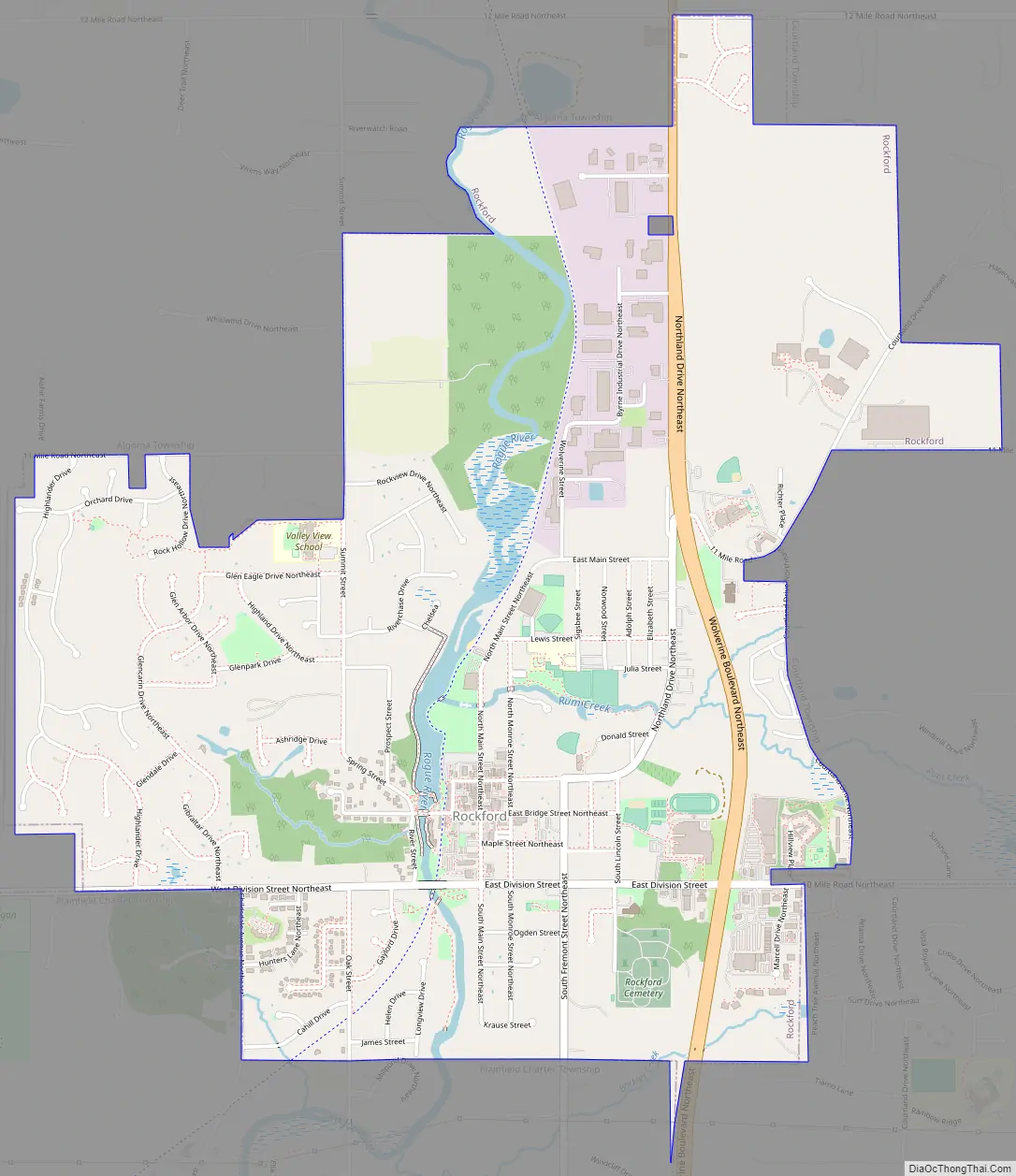
Rockford Road Map
Rockford city Satellite Map
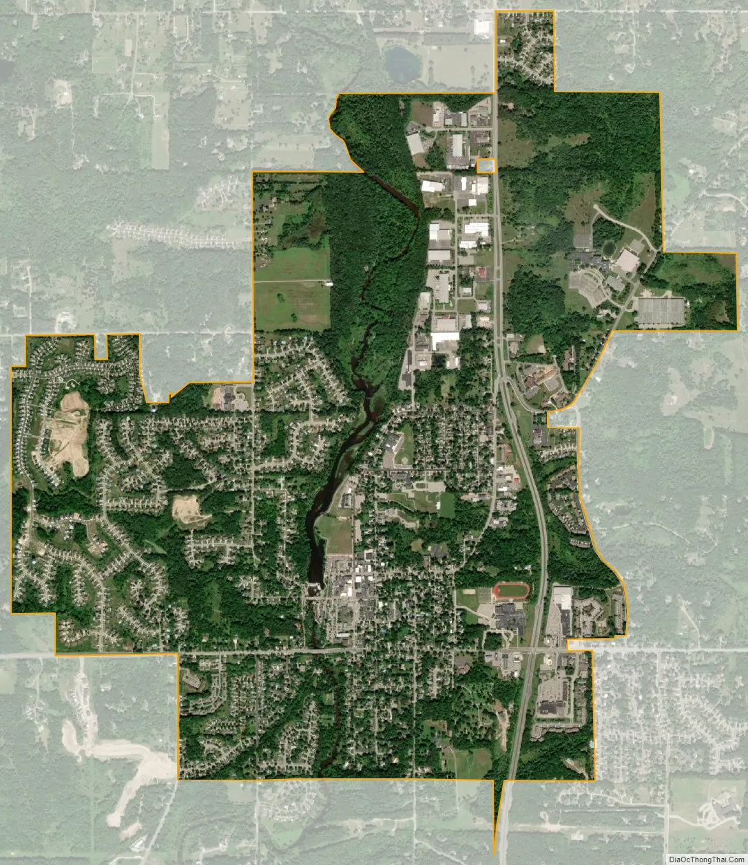
Geography
According to the Census Bureau, the city has a total area of 3.29 square miles (8.52 km), of which, 3.22 square miles (8.34 km) is land and 0.07 square miles (0.18 km) (2.13%) is water.
White Pine Trail State Park runs through the downtown area of Rockford, next to the Rogue River and the Rockford Dam.
Indian Trails provides daily intercity bus service between Grand Rapids, Michigan and St. Ignace.
See also
Map of Michigan State and its subdivision:- Alcona
- Alger
- Allegan
- Alpena
- Antrim
- Arenac
- Baraga
- Barry
- Bay
- Benzie
- Berrien
- Branch
- Calhoun
- Cass
- Charlevoix
- Cheboygan
- Chippewa
- Clare
- Clinton
- Crawford
- Delta
- Dickinson
- Eaton
- Emmet
- Genesee
- Gladwin
- Gogebic
- Grand Traverse
- Gratiot
- Hillsdale
- Houghton
- Huron
- Ingham
- Ionia
- Iosco
- Iron
- Isabella
- Jackson
- Kalamazoo
- Kalkaska
- Kent
- Keweenaw
- Lake
- Lake Hurron
- Lake Michigan
- Lake St. Clair
- Lake Superior
- Lapeer
- Leelanau
- Lenawee
- Livingston
- Luce
- Mackinac
- Macomb
- Manistee
- Marquette
- Mason
- Mecosta
- Menominee
- Midland
- Missaukee
- Monroe
- Montcalm
- Montmorency
- Muskegon
- Newaygo
- Oakland
- Oceana
- Ogemaw
- Ontonagon
- Osceola
- Oscoda
- Otsego
- Ottawa
- Presque Isle
- Roscommon
- Saginaw
- Saint Clair
- Saint Joseph
- Sanilac
- Schoolcraft
- Shiawassee
- Tuscola
- Van Buren
- Washtenaw
- Wayne
- Wexford
- Alabama
- Alaska
- Arizona
- Arkansas
- California
- Colorado
- Connecticut
- Delaware
- District of Columbia
- Florida
- Georgia
- Hawaii
- Idaho
- Illinois
- Indiana
- Iowa
- Kansas
- Kentucky
- Louisiana
- Maine
- Maryland
- Massachusetts
- Michigan
- Minnesota
- Mississippi
- Missouri
- Montana
- Nebraska
- Nevada
- New Hampshire
- New Jersey
- New Mexico
- New York
- North Carolina
- North Dakota
- Ohio
- Oklahoma
- Oregon
- Pennsylvania
- Rhode Island
- South Carolina
- South Dakota
- Tennessee
- Texas
- Utah
- Vermont
- Virginia
- Washington
- West Virginia
- Wisconsin
- Wyoming