Saugatuck is a city in Allegan County in the U.S. state of Michigan. The population was 865 at the 2020 census. The city is within Saugatuck Township, but is administratively autonomous.
Originally a lumber town and port, Saugatuck, along with the adjacent city of Douglas, became a noted art colony and tourist destination in the Arts and Crafts movement of the late 19th century. In the early 20th century, Saugatuck was home to the famous Big Pavilion, a large dance hall that attracted bands and visitors from across the Midwest. The building was a popular destination on Lake Michigan from its construction in 1909 until it burned down on May 6, 1960.
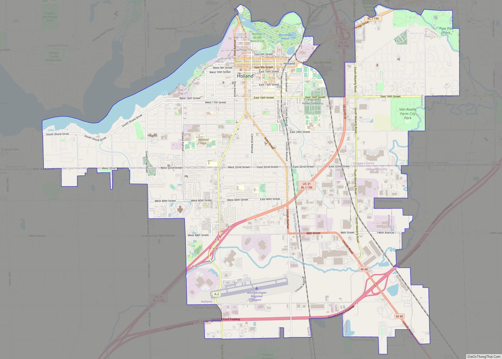
Today, tourists are drawn to the art galleries, harbor, marinas, scenery, unusual stores, the view from atop Mount Baldhead, and tourist attractions as well as Oval Beach on Lake Michigan, which enjoys a worldwide reputation. Nearby are Saugatuck Dunes State Park and Allegan State Game Area as is the city of Holland. Saugatuck is known as a popular vacation destination for the LGBT+ community with similar cultural attributes as Fire Island Pines and Provincetown, Massachusetts.
| Name: | Saugatuck city |
|---|---|
| LSAD Code: | 25 |
| LSAD Description: | city (suffix) |
| State: | Michigan |
| County: | Allegan County |
| Incorporated: | 1868 |
| Elevation: | 594 ft (181 m) |
| Total Area: | 1.77 sq mi (4.58 km²) |
| Land Area: | 1.39 sq mi (3.60 km²) |
| Water Area: | 0.38 sq mi (0.98 km²) |
| Total Population: | 865 |
| Population Density: | 621.85/sq mi (240.02/km²) |
| ZIP code: | 49453 |
| Area code: | 269 |
| FIPS code: | 2671700 |
| GNISfeature ID: | 0637271 |
| Website: | www.saugatuckcity.com |
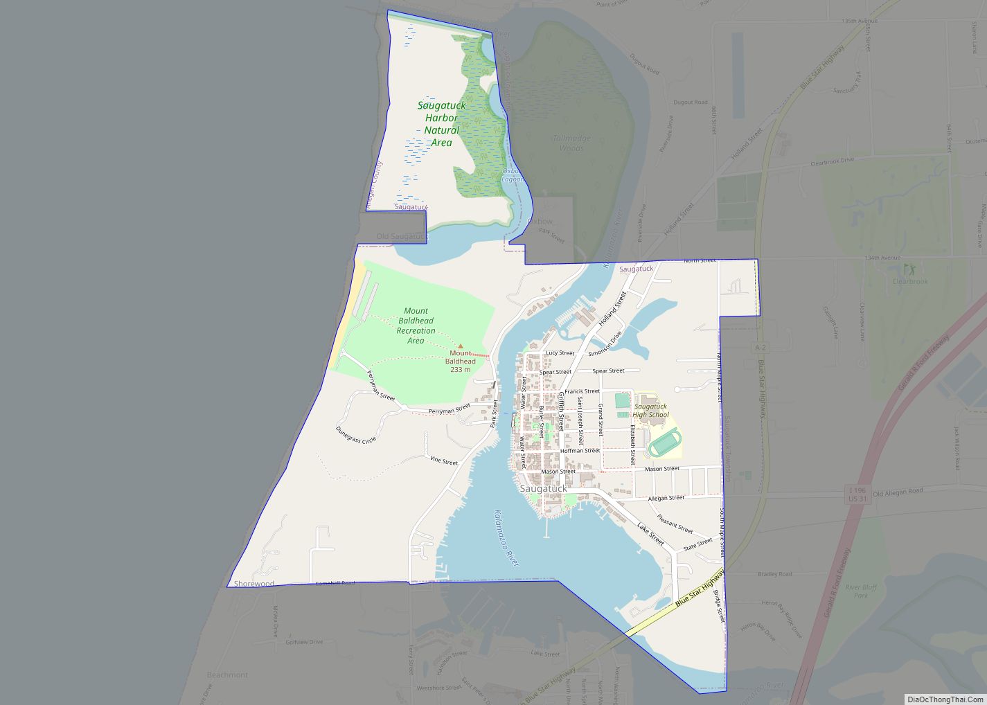
Online Interactive Map
Click on ![]() to view map in "full screen" mode.
to view map in "full screen" mode.
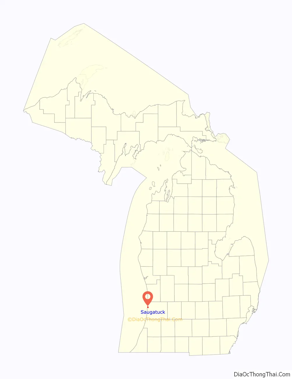
Saugatuck location map. Where is Saugatuck city?

History
William C. Butler was the first European-American settler in 1830 of “Kalamazoo village”, as it was at first known. He bought land and had a village plat laid out in 1833. In 1836 the legislature gave Kalamazoo, formerly known as Bronson in honor of Titus Bronson, its current name. Thus the community was renamed after the township current name, Newark. The first postmaster suggested the name of Saugatuck, a native American name signifying a stream outlet, for the post office, and this name was taken when Saugatuck was incorporated as a village in 1868 by the County Board of Supervisors. The village was reincorporated by the legislature in its 1869-1870 session.
Its charter was amended in 1893. In 1895, the village came under the village general law for its government. The Saugatuck and Ganges Phone Company was formed for the village in 1893–1894.
In 1968, a hundred years after incorporation as a village, Saugatuck might have looked into incorporating as a city, but it appears incorporation actually happened in 1984, according to historical information on the Saugatuck city website.
Saugatuck Road Map

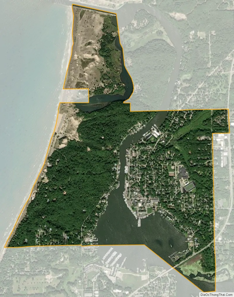
Saugatuck city Satellite Map
Geography
According to the U.S. Census Bureau, the city has a total area of 1.47 square miles (3.81 km), of which 1.18 square miles (3.06 km) is land and 0.29 square miles (0.75 km) is water.
See also
Map of Michigan State and its subdivision:- Alcona
- Alger
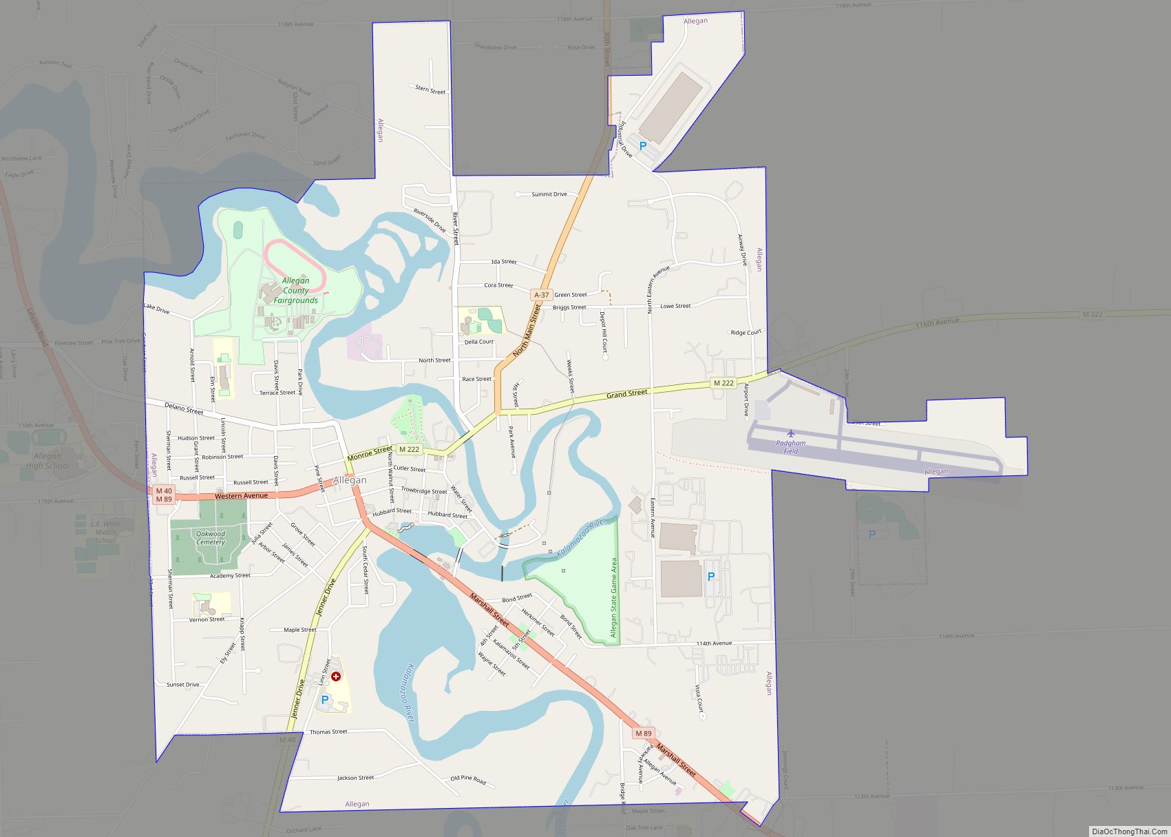
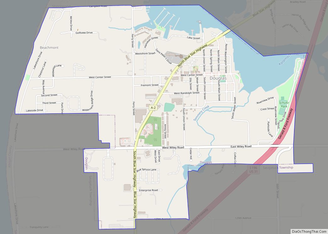
- Allegan
- Alpena
- Antrim
- Arenac
- Baraga
- Barry
- Bay
- Benzie
- Berrien
- Branch
- Calhoun
- Cass
- Charlevoix
- Cheboygan
- Chippewa
- Clare
- Clinton
- Crawford
- Delta
- Dickinson
- Eaton
- Emmet
- Genesee
- Gladwin
- Gogebic
- Grand Traverse
- Gratiot
- Hillsdale
- Houghton
- Huron
- Ingham
- Ionia
- Iosco
- Iron
- Isabella
- Jackson
- Kalamazoo
- Kalkaska
- Kent
- Keweenaw
- Lake
- Lake Hurron
- Lake Michigan
- Lake St. Clair
- Lake Superior
- Lapeer
- Leelanau
- Lenawee
- Livingston
- Luce
- Mackinac
- Macomb
- Manistee
- Marquette
- Mason
- Mecosta
- Menominee
- Midland
- Missaukee
- Monroe
- Montcalm
- Montmorency
- Muskegon
- Newaygo
- Oakland
- Oceana
- Ogemaw
- Ontonagon
- Osceola
- Oscoda
- Otsego
- Ottawa
- Presque Isle
- Roscommon
- Saginaw
- Saint Clair
- Saint Joseph
- Sanilac
- Schoolcraft
- Shiawassee
- Tuscola
- Van Buren
- Washtenaw
- Wayne
- Wexford
- Alabama
- Alaska
- Arizona
- Arkansas
- California
- Colorado
- Connecticut
- Delaware
- District of Columbia
- Florida
- Georgia
- Hawaii
- Idaho
- Illinois
- Indiana
- Iowa
- Kansas
- Kentucky
- Louisiana
- Maine
- Maryland
- Massachusetts
- Michigan
- Minnesota
- Mississippi
- Missouri
- Montana
- Nebraska
- Nevada
- New Hampshire
- New Jersey
- New Mexico
- New York
- North Carolina
- North Dakota
- Ohio
- Oklahoma
- Oregon
- Pennsylvania
- Rhode Island
- South Carolina
- South Dakota
- Tennessee
- Texas
- Utah
- Vermont
- Virginia
- Washington
- West Virginia
- Wisconsin
- Wyoming