Scottville is a city in Mason County in the U.S. state of Michigan. The population was 1,214 at the 2010 census.
| Name: | Scottville city |
|---|---|
| LSAD Code: | 25 |
| LSAD Description: | city (suffix) |
| State: | Michigan |
| County: | Mason County |
| Founded: | 1874 |
| Incorporated: | 1889 (village) 1907 (city) |
| Elevation: | 692 ft (211 m) |
| Total Area: | 1.49 sq mi (3.86 km²) |
| Land Area: | 1.49 sq mi (3.86 km²) |
| Water Area: | 0.00 sq mi (0.00 km²) |
| Total Population: | 1,356 |
| Population Density: | 910.07/sq mi (351.40/km²) |
| Area code: | 231 |
| FIPS code: | 2672080 |
| GNISfeature ID: | 1621550 |
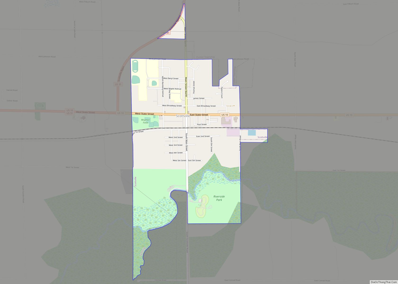
Online Interactive Map
Click on ![]() to view map in "full screen" mode.
to view map in "full screen" mode.
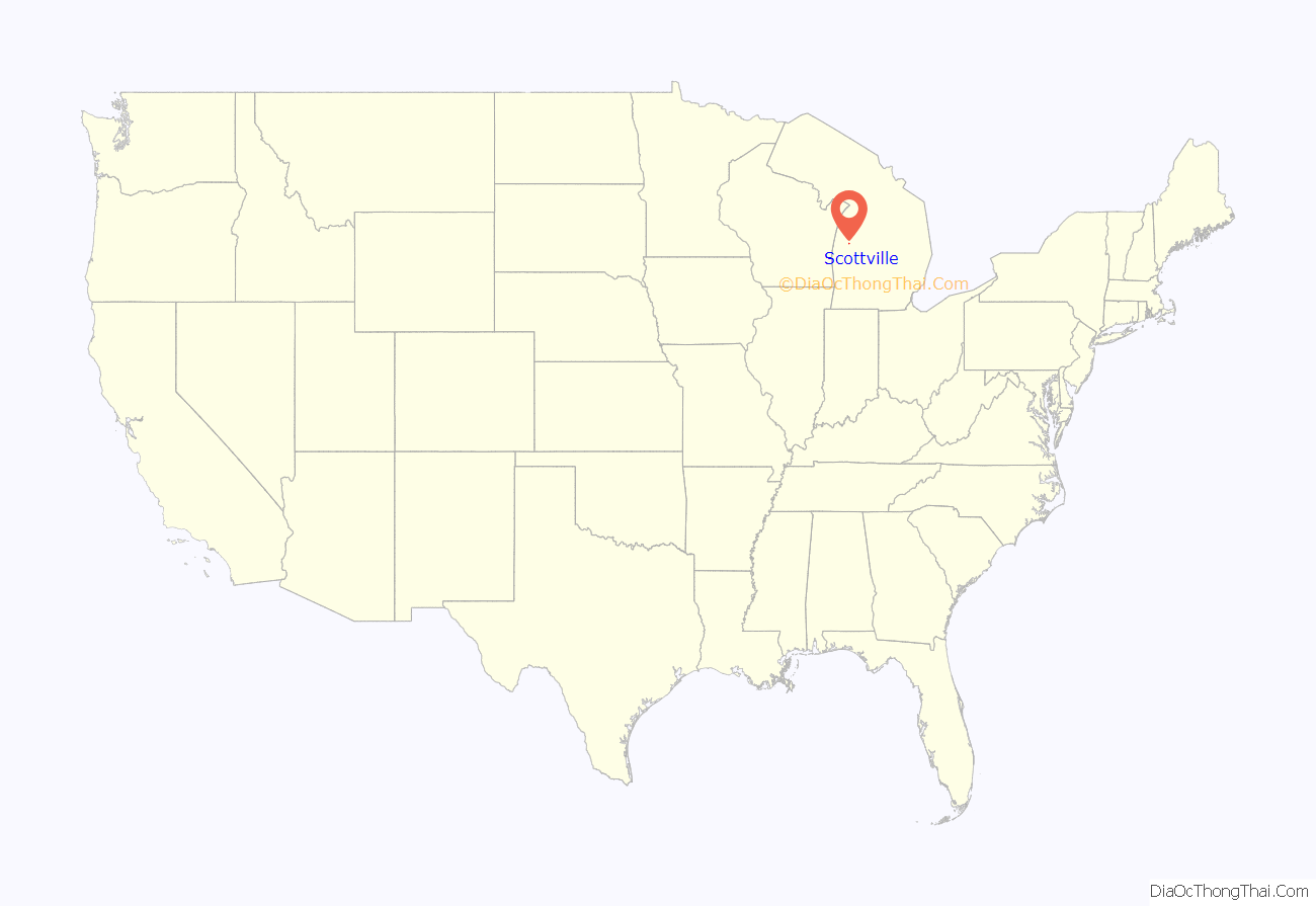
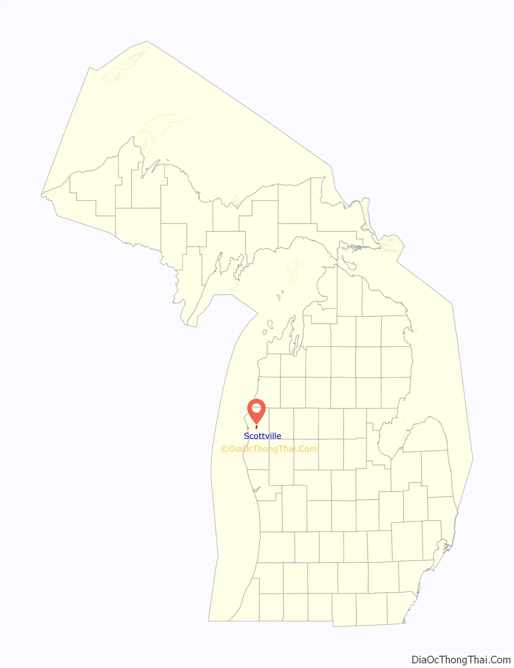
Scottville location map. Where is Scottville city?
History
The area was first mapped in 1874 as a stop along the Pere Marquette Railway. It was originally called Mason Center, as it was in the center of the county. It was later renamed Sweetland, after James Sweetland, who built a sawmill there in 1878. Hiram Scott platted the land in 1882, and won the right to rename the settlement as Scottville after winning a coin toss. Scottville was incorporated as a village in 1889 and as a city in 1907.
On July 23, 2007 Governor Jennifer Granholm announced Scottville as the community chosen by the Michigan State Housing Development Authority (MSHDA) to take part in the Cool Cities Michigan Main Street program. Scottville will receive five years of intensive technical assistance through MSHDA, to help create opportunities for new development, economic growth and jobs. A similar award, the Blueprints for Downtowns award, were announced to be received by the communities of Caro, Clio and Ypsilanti.
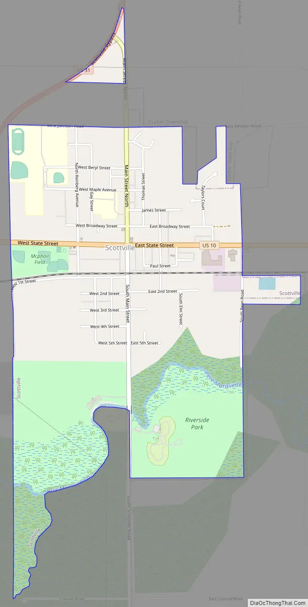
Scottville Road Map
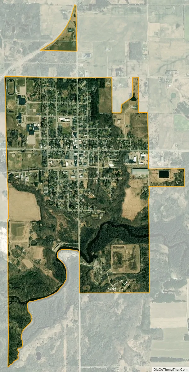
Scottville city Satellite Map
Geography
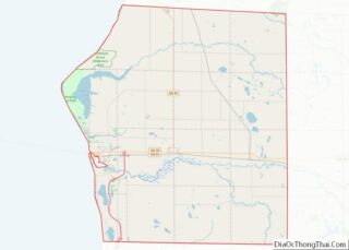
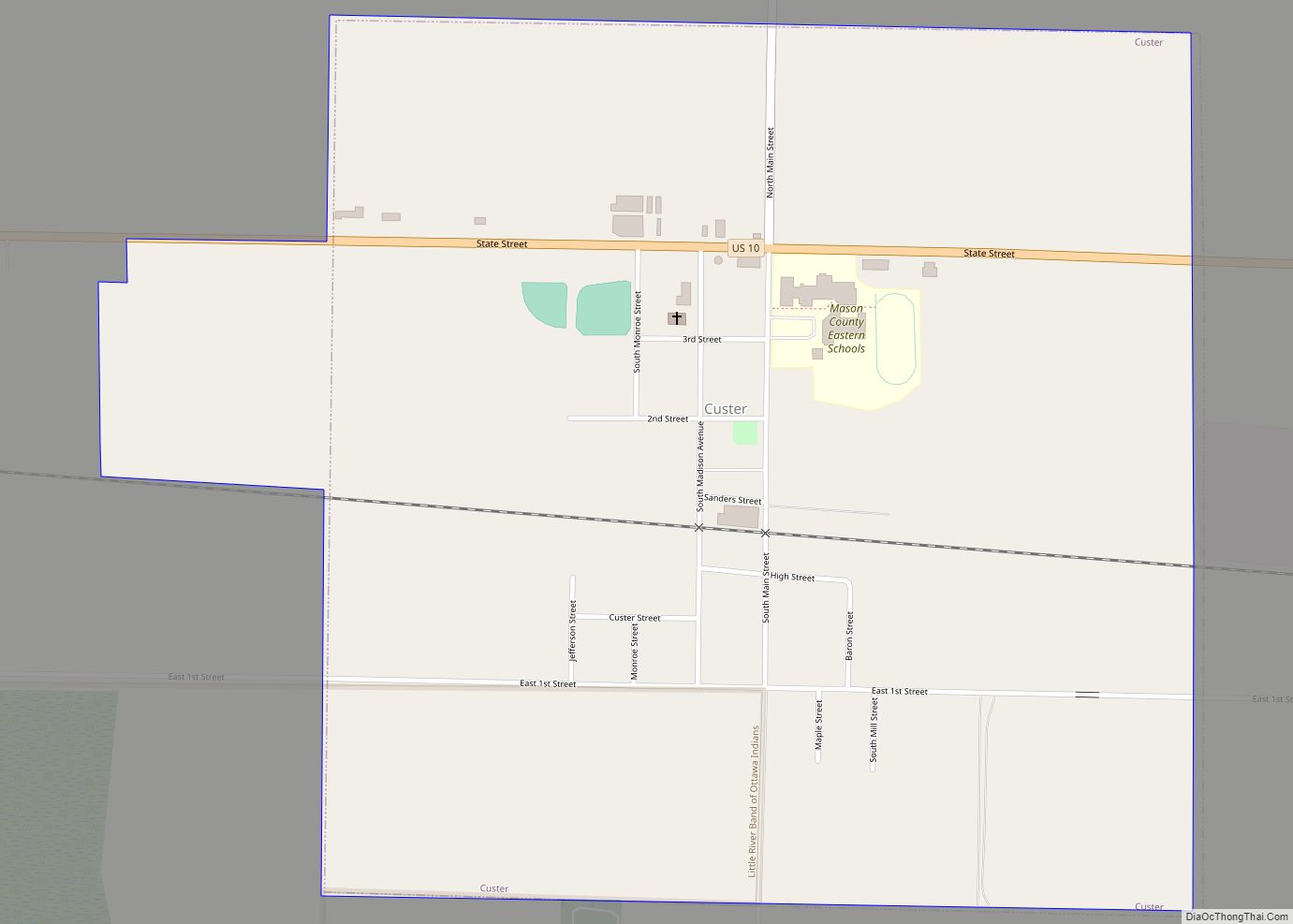
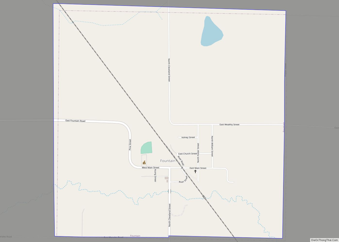
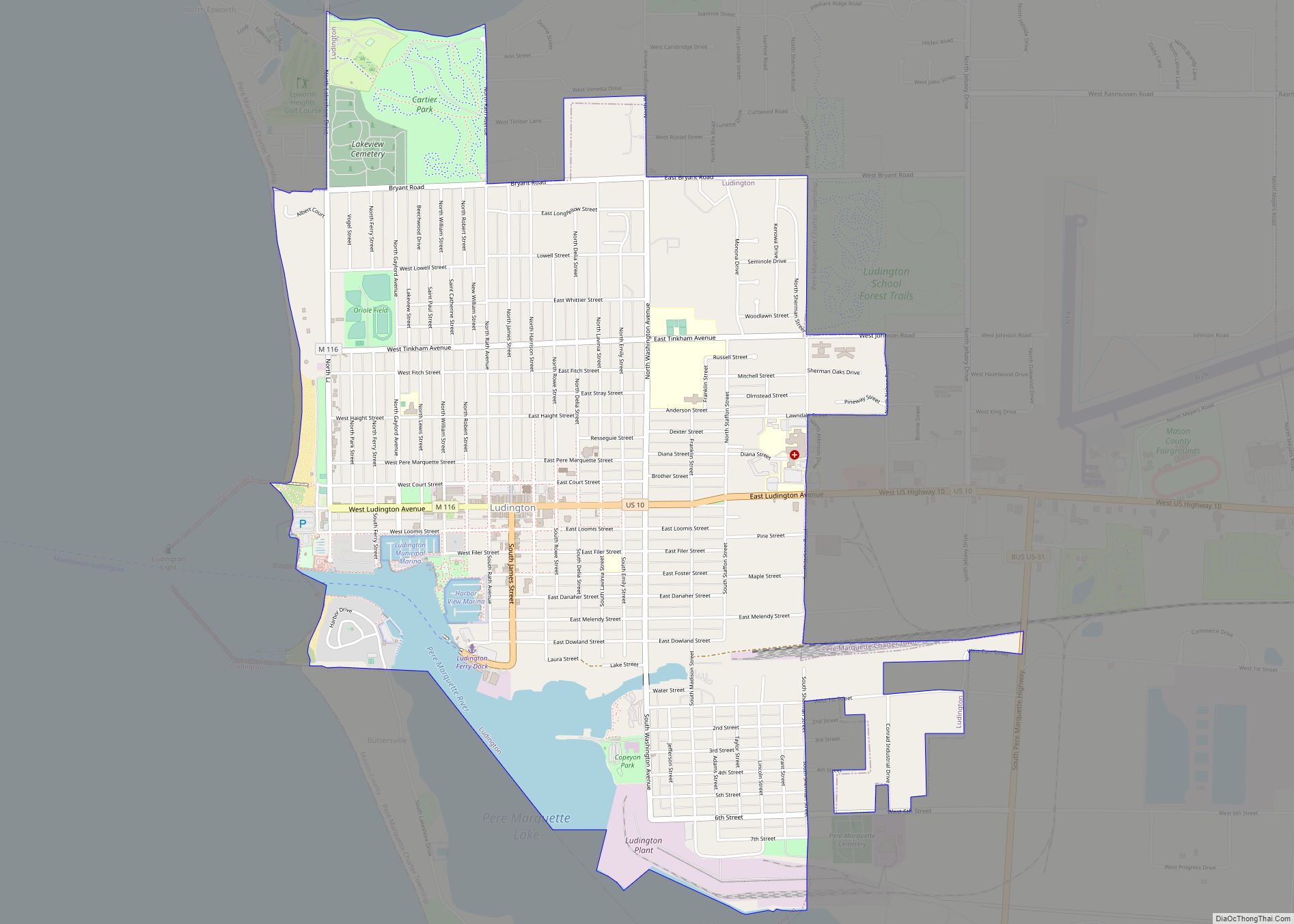
According to the United States Census Bureau, the city has a total area of 1.49 square miles (3.86 km), all land. The city of Scottville itself is approximately 10 miles (16 km) east of the city of Ludington and Lake Michigan, 5 miles (8.0 km) west of the village of Custer and 10 miles (16 km) south west of the village of Fountain.
See also
Map of Michigan State and its subdivision:- Alcona
- Alger
- Allegan
- Alpena
- Antrim
- Arenac
- Baraga
- Barry
- Bay
- Benzie
- Berrien
- Branch
- Calhoun
- Cass
- Charlevoix
- Cheboygan
- Chippewa
- Clare
- Clinton
- Crawford
- Delta
- Dickinson
- Eaton
- Emmet
- Genesee
- Gladwin
- Gogebic
- Grand Traverse
- Gratiot
- Hillsdale
- Houghton
- Huron
- Ingham
- Ionia
- Iosco
- Iron
- Isabella
- Jackson
- Kalamazoo
- Kalkaska
- Kent
- Keweenaw
- Lake
- Lake Hurron
- Lake Michigan
- Lake St. Clair
- Lake Superior
- Lapeer
- Leelanau
- Lenawee
- Livingston
- Luce
- Mackinac
- Macomb
- Manistee
- Marquette
- Mason
- Mecosta
- Menominee
- Midland
- Missaukee
- Monroe
- Montcalm
- Montmorency
- Muskegon
- Newaygo
- Oakland
- Oceana
- Ogemaw
- Ontonagon
- Osceola
- Oscoda
- Otsego
- Ottawa
- Presque Isle
- Roscommon
- Saginaw
- Saint Clair
- Saint Joseph
- Sanilac
- Schoolcraft
- Shiawassee
- Tuscola
- Van Buren
- Washtenaw
- Wayne
- Wexford
- Alabama
- Alaska
- Arizona
- Arkansas
- California
- Colorado
- Connecticut
- Delaware
- District of Columbia
- Florida
- Georgia
- Hawaii
- Idaho
- Illinois
- Indiana
- Iowa
- Kansas
- Kentucky
- Louisiana
- Maine
- Maryland
- Massachusetts
- Michigan
- Minnesota
- Mississippi
- Missouri
- Montana
- Nebraska
- Nevada
- New Hampshire
- New Jersey
- New Mexico
- New York
- North Carolina
- North Dakota
- Ohio
- Oklahoma
- Oregon
- Pennsylvania
- Rhode Island
- South Carolina
- South Dakota
- Tennessee
- Texas
- Utah
- Vermont
- Virginia
- Washington
- West Virginia
- Wisconsin
- Wyoming