Suttons Bay is a village in Leelanau County in the U.S. state of Michigan. The population was 613 at the 2020 census. Located within Suttons Bay Township, the community lies upon the shore of the eponymous Suttons Bay, a smaller inlet of Grand Traverse Bay, a bay of Lake Michigan.
| Name: | Suttons Bay village |
|---|---|
| LSAD Code: | 47 |
| LSAD Description: | village (suffix) |
| State: | Michigan |
| County: | Leelanau County |
| Founded: | 1854 |
| Incorporated: | 1898 |
| Elevation: | 597 ft (182 m) |
| Total Area: | 1.28 sq mi (3.33 km²) |
| Land Area: | 1.28 sq mi (3.33 km²) |
| Water Area: | 0.00 sq mi (0.00 km²) |
| Total Population: | 613 |
| Population Density: | 477.41/sq mi (184.26/km²) |
| Area code: | 231 |
| FIPS code: | 2677600 |
| GNISfeature ID: | 0639135 |
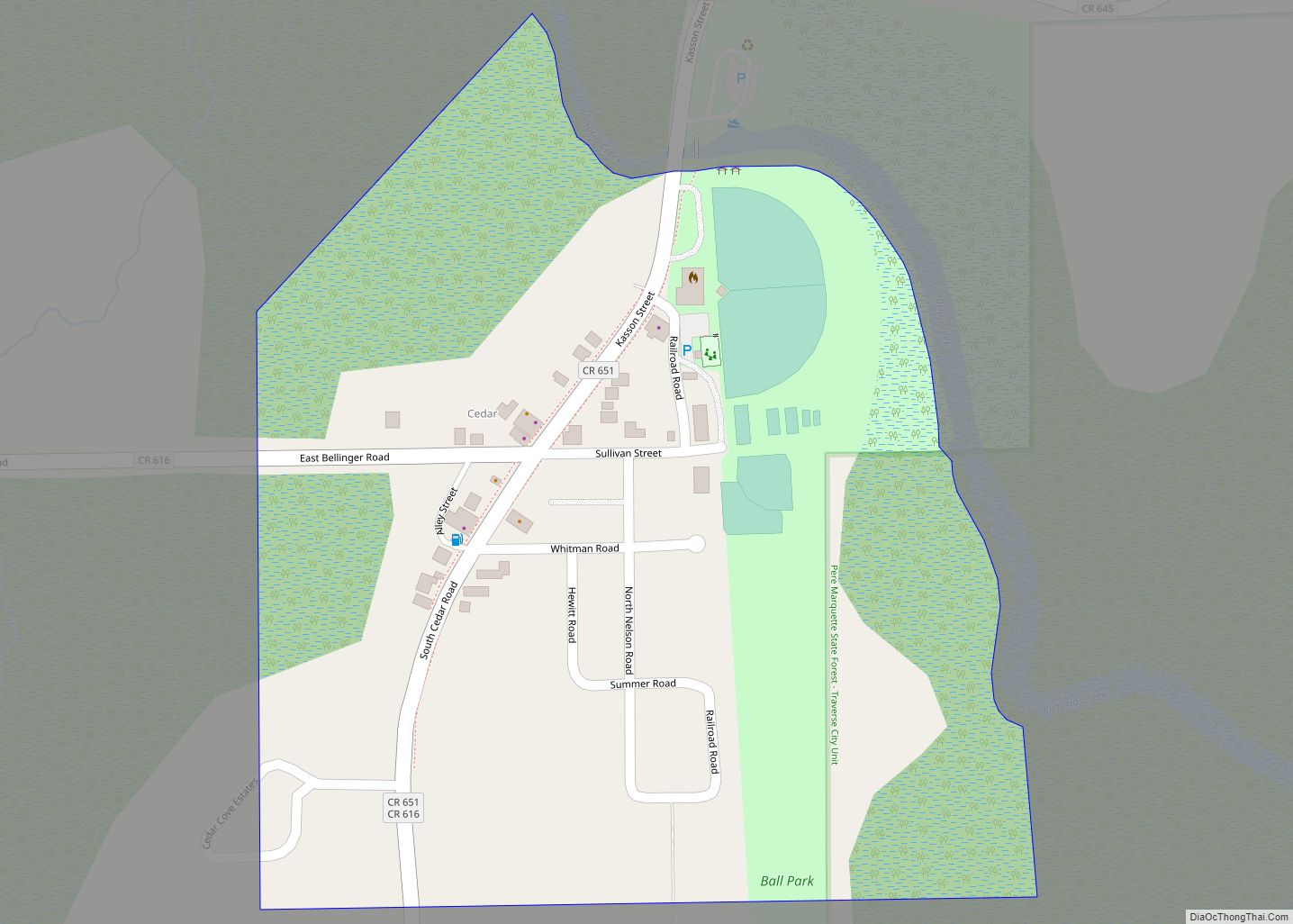
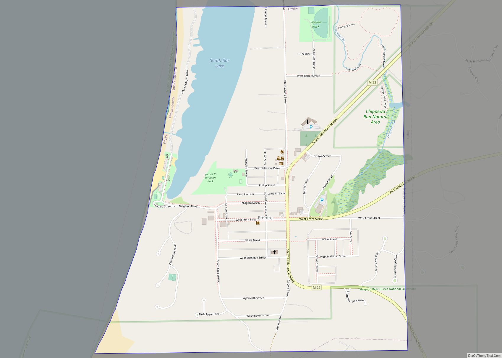
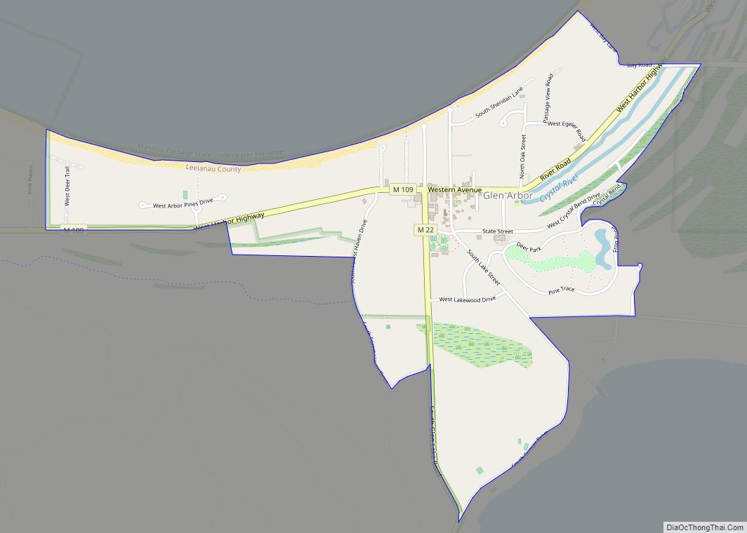
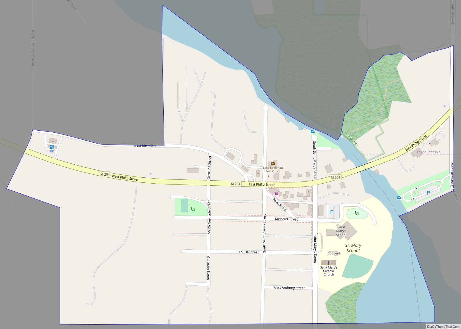
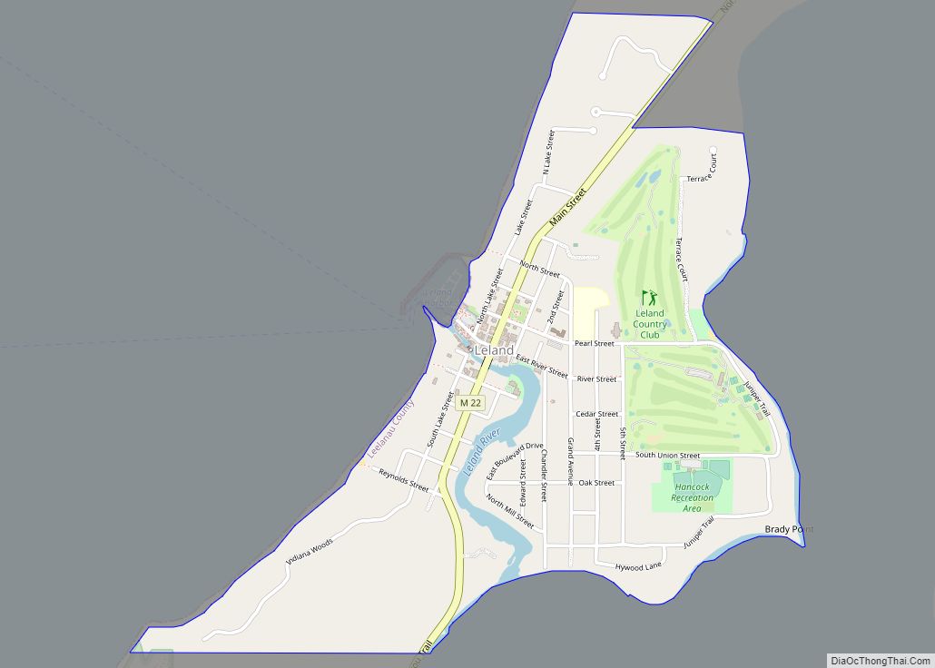
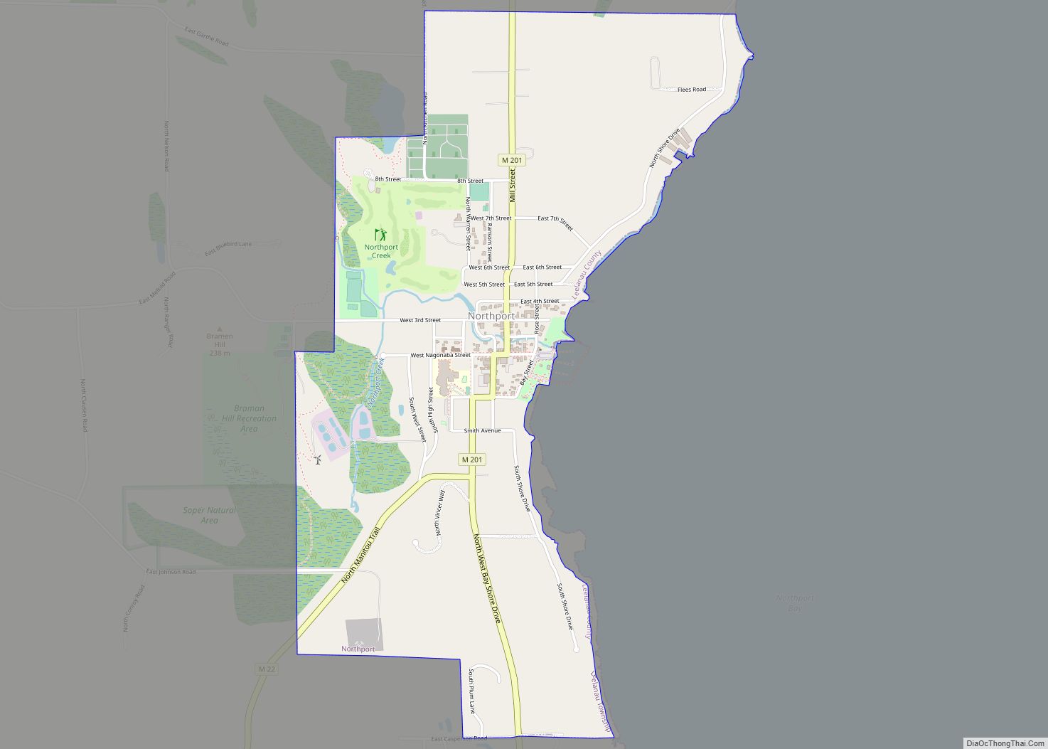
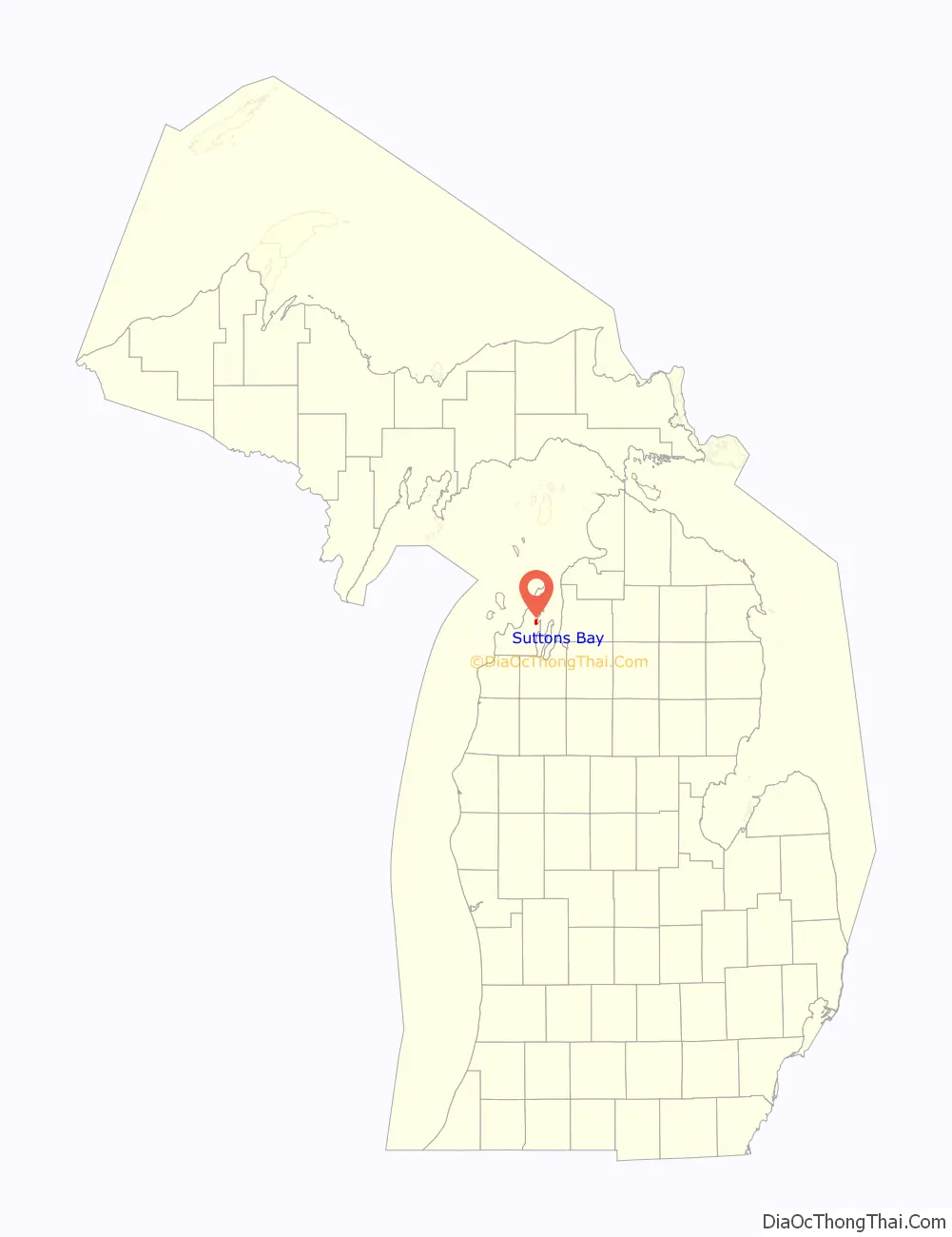
Online Interactive Map
Click on ![]() to view map in "full screen" mode.
to view map in "full screen" mode.
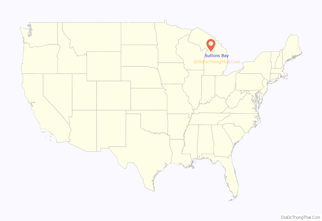
Suttons Bay location map. Where is Suttons Bay village?
History
The community is named for one of the first settlers of European descent, Harry C. Sutton, who arrived in 1854. He arrived with a crew of woodsmen to supply fuel for passing wood steamboats.
In 1903 the Traverse City, Leelanau, and Manistique Railroad began a route between Traverse City to the South and Northport to the North, stopping at Suttons Bay, as well as Hatch’s Crossing, Fountain Point, Bingham, Keswick, and Omena.
Before the turn of the 20th century, four churches had been established—two Lutheran, one Roman Catholic, and one Congregational.
In 1920, Leelanau County voters approved moving the county seat to Suttons Bay, but the move never took place.
Suttons Bay has a school; the sports mascot is a Viking, hence the nickname “Suttons Bay Norsemen.”
The town is home to the county’s only movie theater, opened in 1946. It is now owned by Bob Bahle, and was renovated in 1977. Its fare consists of unique art house films, and occasionally the theater hosts plays and concerts.
The town has a clothing store that has been owned by one family over four generations called “Bahles.” The original store started as a “dry-goods” business in 1876 by Lars Bahle, an immigrant from Norway.
Suttons Bay is also home to one of the oldest continuously operated food establishments in the entire region. Since 1871, the restaurant has gone through several owners and is currently known as The V I Grill.
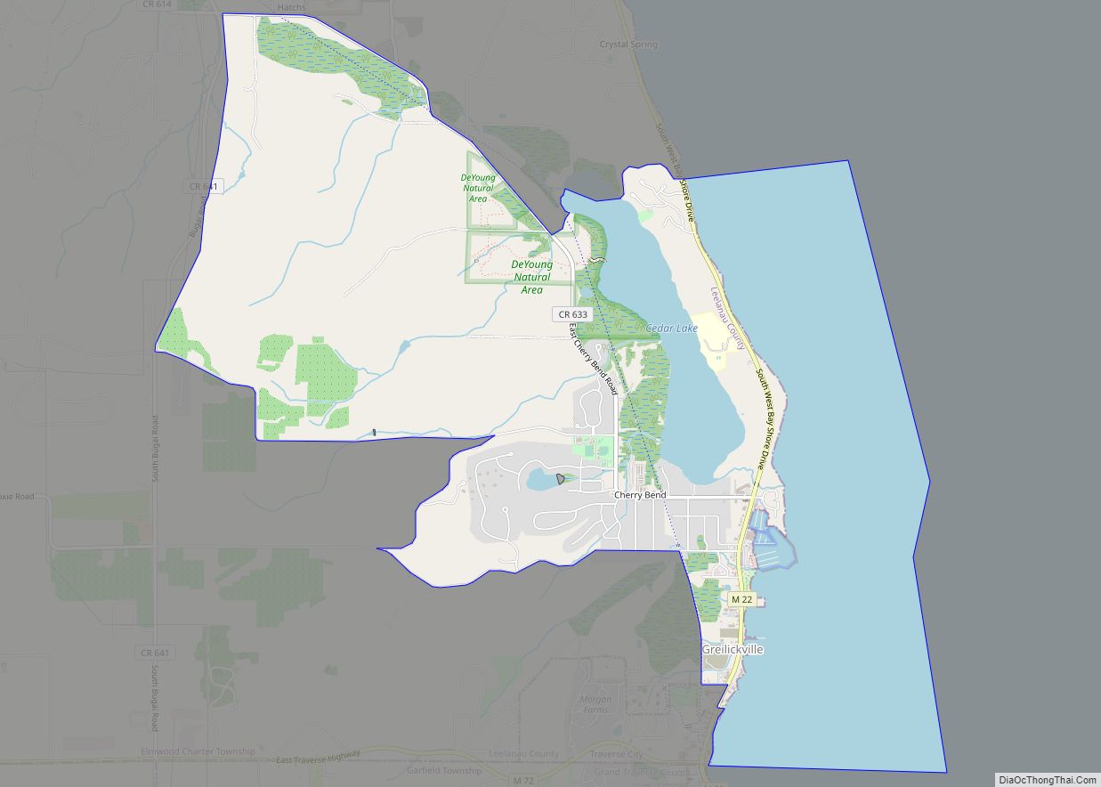
Suttons Bay Road Map
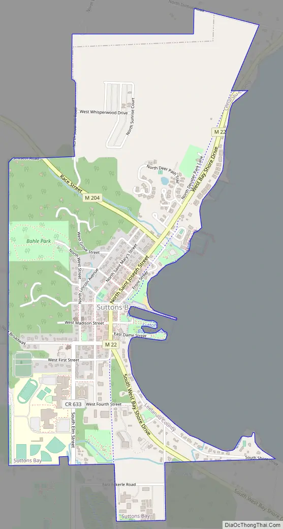
Suttons Bay city Satellite Map

Geography
According to the United States Census Bureau, the village has a total area of 1.25 square miles (3.24 km), all land. The town is located on the shore of Suttons Bay, an inlet Grand Traverse Bay, itself an inlet of Lake Michigan. The town is fifteen miles north of Traverse City.
Just north of the village is a sign marking the 45th parallel north, halfway between the North Pole and the Equator. This is one of six Michigan sites, and 29 in the U.S., where such signs are known to exist.
Major highways
- M-22 runs north–south through Suttons Bay, paralleling the shore of the Grand Traverse Bay. North of Suttons Bay, M-22 runs to Northport, before turning south and running along Lake Michigan.
- M-204 runs west from Suttons Bay, cutting across the Leelanau Peninsula via Lake Leelanau to M-22 near Leland.
See also
Map of Michigan State and its subdivision:- Alcona
- Alger
- Allegan
- Alpena
- Antrim
- Arenac
- Baraga
- Barry
- Bay
- Benzie
- Berrien
- Branch
- Calhoun
- Cass
- Charlevoix
- Cheboygan
- Chippewa
- Clare
- Clinton
- Crawford
- Delta
- Dickinson
- Eaton
- Emmet
- Genesee
- Gladwin
- Gogebic
- Grand Traverse
- Gratiot
- Hillsdale
- Houghton
- Huron
- Ingham
- Ionia
- Iosco
- Iron
- Isabella
- Jackson
- Kalamazoo
- Kalkaska
- Kent
- Keweenaw
- Lake
- Lake Hurron
- Lake Michigan
- Lake St. Clair
- Lake Superior
- Lapeer
- Leelanau
- Lenawee
- Livingston
- Luce
- Mackinac
- Macomb
- Manistee
- Marquette
- Mason
- Mecosta
- Menominee
- Midland
- Missaukee
- Monroe
- Montcalm
- Montmorency
- Muskegon
- Newaygo
- Oakland
- Oceana
- Ogemaw
- Ontonagon
- Osceola
- Oscoda
- Otsego
- Ottawa
- Presque Isle
- Roscommon
- Saginaw
- Saint Clair
- Saint Joseph
- Sanilac
- Schoolcraft
- Shiawassee
- Tuscola
- Van Buren
- Washtenaw
- Wayne
- Wexford
- Alabama
- Alaska
- Arizona
- Arkansas
- California
- Colorado
- Connecticut
- Delaware
- District of Columbia
- Florida
- Georgia
- Hawaii
- Idaho
- Illinois
- Indiana
- Iowa
- Kansas
- Kentucky
- Louisiana
- Maine
- Maryland
- Massachusetts
- Michigan
- Minnesota
- Mississippi
- Missouri
- Montana
- Nebraska
- Nevada
- New Hampshire
- New Jersey
- New Mexico
- New York
- North Carolina
- North Dakota
- Ohio
- Oklahoma
- Oregon
- Pennsylvania
- Rhode Island
- South Carolina
- South Dakota
- Tennessee
- Texas
- Utah
- Vermont
- Virginia
- Washington
- West Virginia
- Wisconsin
- Wyoming