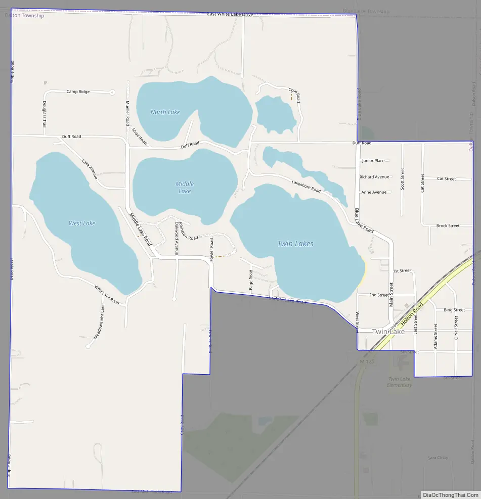
Twin Lake is an unincorporated community in Muskegon County of the U.S. state of Michigan. It is a census-designated place (CDP) for statistical purposes. Local government services are provided by Dalton Township. As of the 2000 census, the community population was 1,613. It is the home of Blue Lake Fine Arts Camp, the YMCA’s Camp Pinewood, the Boy Scouts’ Gerber Scout Reservation and Owasippe Scout Reservation.
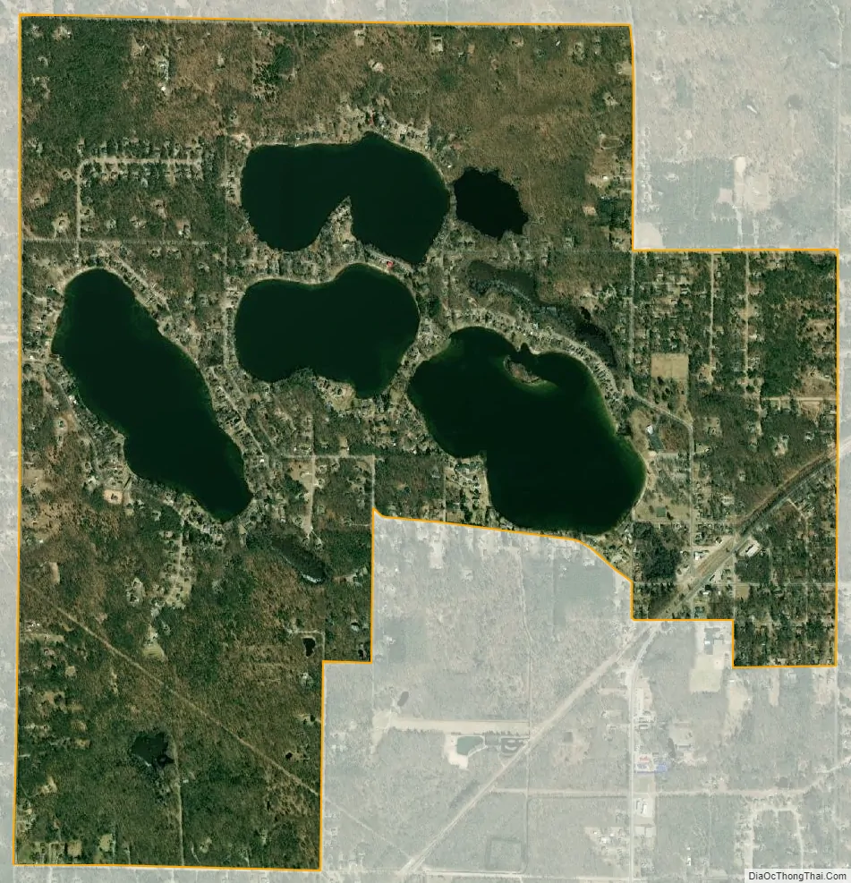
The Twin Lake CDP includes only the areas surrounding the Twin Lakes and the nearby North Lake and West Lakes in the northeast corner of Dalton Township. The Twin Lake ZIP code 49457 serves a much larger area, including much of northern and eastern Dalton Township, most of Cedar Creek Township to the east, parts of northern Egelston Township and Muskegon Township to the south, much of Blue Lake Township to the north and the southwest corner of Holton Township.
| Name: | Twin Lake CDP |
|---|---|
| LSAD Code: | 57 |
| LSAD Description: | CDP (suffix) |
| State: | Michigan |
| County: | Muskegon County |
| Elevation: | 696 ft (212 m) |
| Total Area: | 3.43 sq mi (8.89 km²) |
| Land Area: | 2.88 sq mi (7.45 km²) |
| Water Area: | 0.56 sq mi (1.44 km²) |
| Total Population: | 2,056 |
| Population Density: | 714.88/sq mi (275.99/km²) |
| ZIP code: | 49457 |
| Area code: | 231 |
| FIPS code: | 2681040 |
| GNISfeature ID: | 1621982 |
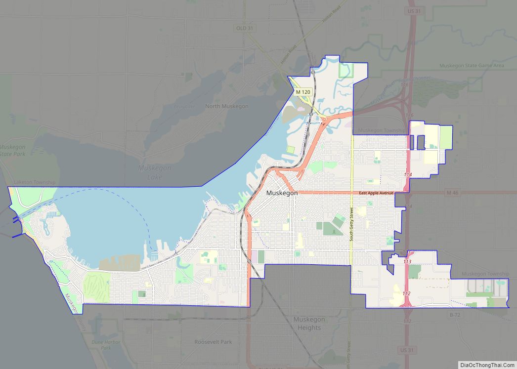
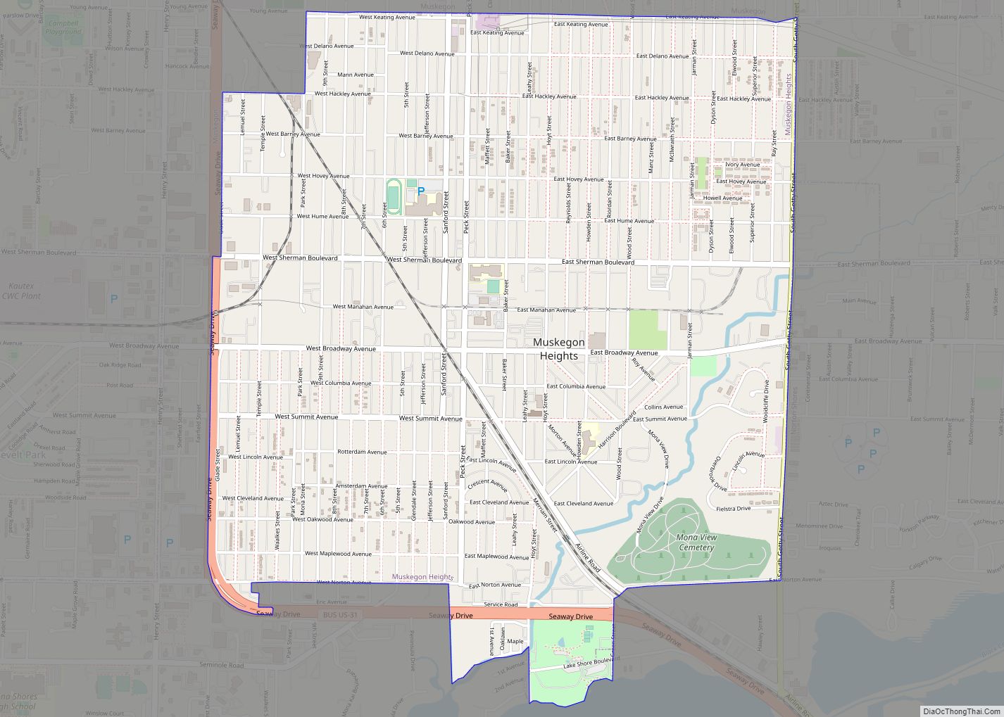
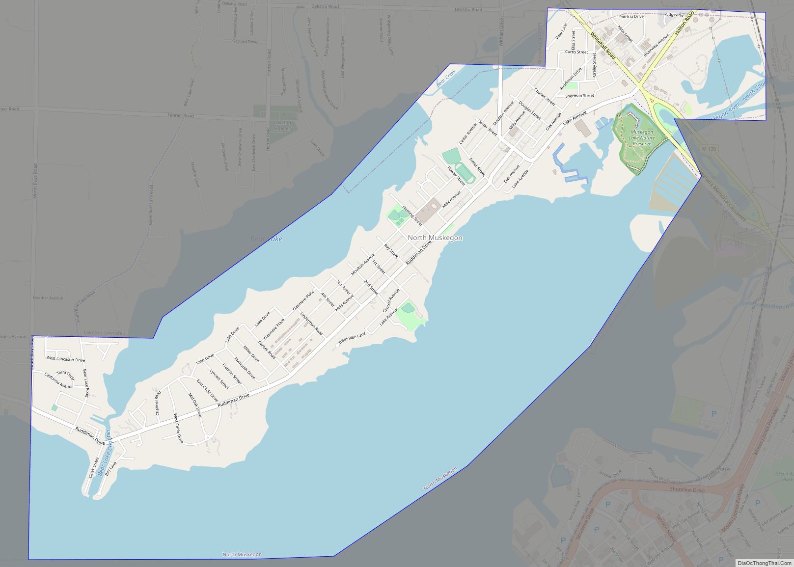
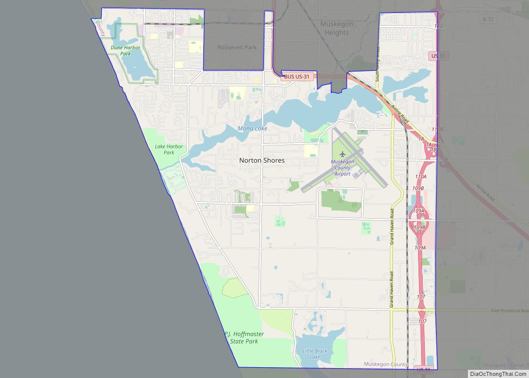
Online Interactive Map
Click on ![]() to view map in "full screen" mode.
to view map in "full screen" mode.
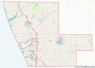
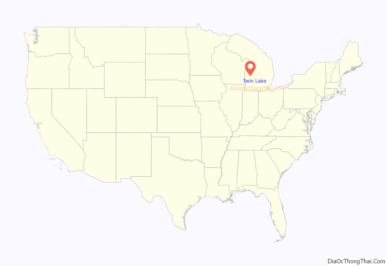
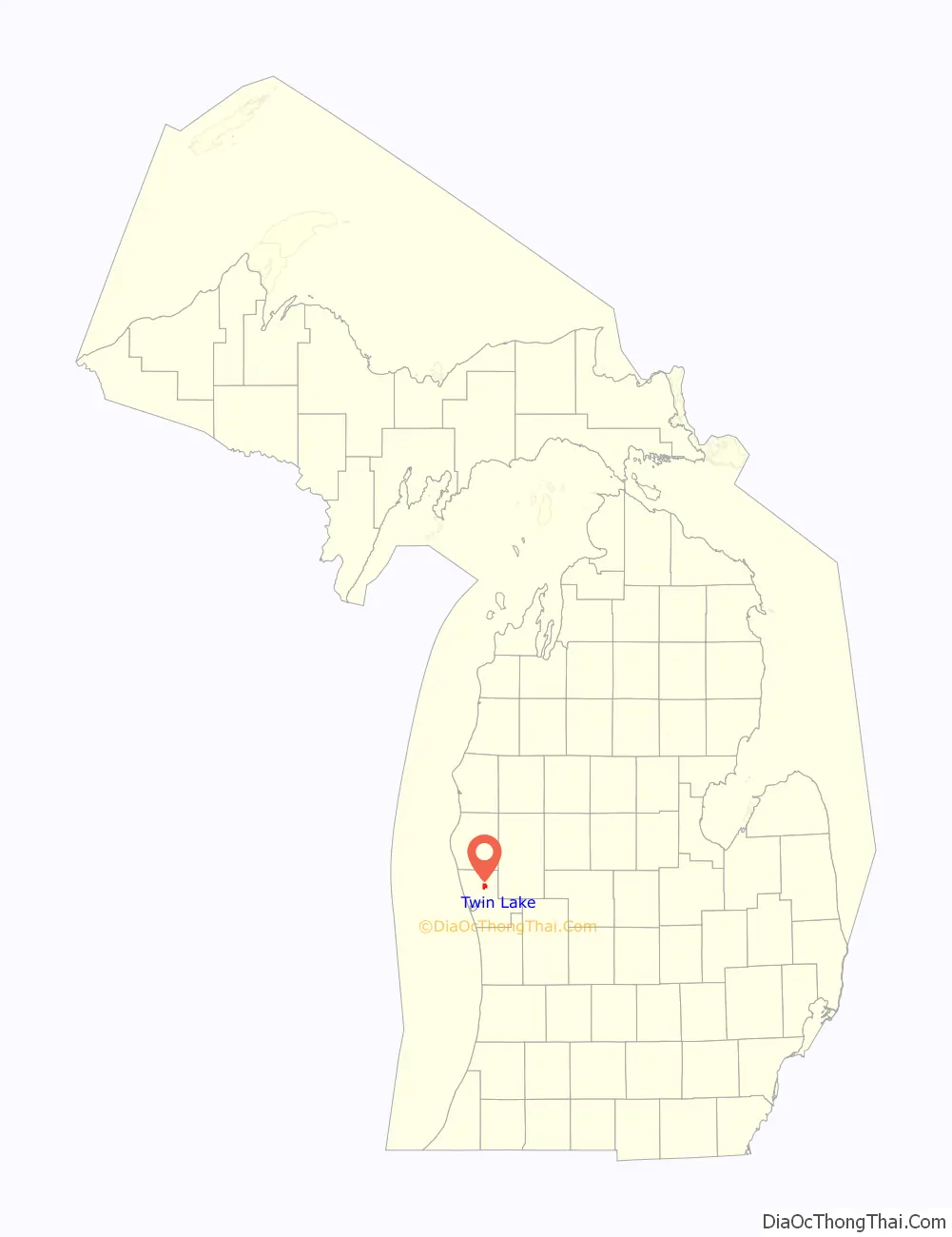
Twin Lake location map. Where is Twin Lake CDP?
Twin Lake Road Map
Twin Lake city Satellite Map
Geography
According to the United States Census Bureau, the community has a total area of 2.9 square miles (7.5 km), of which 2.4 square miles (6.2 km) is land and 0.5 square miles (1.3 km) (17.93%) is water.
See also
Map of Michigan State and its subdivision:- Alcona
- Alger
- Allegan
- Alpena
- Antrim
- Arenac
- Baraga
- Barry
- Bay
- Benzie
- Berrien
- Branch
- Calhoun
- Cass
- Charlevoix
- Cheboygan
- Chippewa
- Clare
- Clinton
- Crawford
- Delta
- Dickinson
- Eaton
- Emmet
- Genesee
- Gladwin
- Gogebic
- Grand Traverse
- Gratiot
- Hillsdale
- Houghton
- Huron
- Ingham
- Ionia
- Iosco
- Iron
- Isabella
- Jackson
- Kalamazoo
- Kalkaska
- Kent
- Keweenaw
- Lake
- Lake Hurron
- Lake Michigan
- Lake St. Clair
- Lake Superior
- Lapeer
- Leelanau
- Lenawee
- Livingston
- Luce
- Mackinac
- Macomb
- Manistee
- Marquette
- Mason
- Mecosta
- Menominee
- Midland
- Missaukee
- Monroe
- Montcalm
- Montmorency
- Muskegon
- Newaygo
- Oakland
- Oceana
- Ogemaw
- Ontonagon
- Osceola
- Oscoda
- Otsego
- Ottawa
- Presque Isle
- Roscommon
- Saginaw
- Saint Clair
- Saint Joseph
- Sanilac
- Schoolcraft
- Shiawassee
- Tuscola
- Van Buren
- Washtenaw
- Wayne
- Wexford
- Alabama
- Alaska
- Arizona
- Arkansas
- California
- Colorado
- Connecticut
- Delaware
- District of Columbia
- Florida
- Georgia
- Hawaii
- Idaho
- Illinois
- Indiana
- Iowa
- Kansas
- Kentucky
- Louisiana
- Maine
- Maryland
- Massachusetts
- Michigan
- Minnesota
- Mississippi
- Missouri
- Montana
- Nebraska
- Nevada
- New Hampshire
- New Jersey
- New Mexico
- New York
- North Carolina
- North Dakota
- Ohio
- Oklahoma
- Oregon
- Pennsylvania
- Rhode Island
- South Carolina
- South Dakota
- Tennessee
- Texas
- Utah
- Vermont
- Virginia
- Washington
- West Virginia
- Wisconsin
- Wyoming