Vassar is a city in Tuscola County in the U.S. state of Michigan. Founded March 1, 1849. The population was 2,727 at the 2020 census and 2,697 in 2010 (an increase of about 1.1%). The city is located on the western edge of Vassar Township but is administratively autonomous.
| Name: | Vassar city |
|---|---|
| LSAD Code: | 25 |
| LSAD Description: | city (suffix) |
| State: | Michigan |
| County: | Tuscola County |
| Founded: | 1 March 1849 |
| Elevation: | 643 ft (196 m) |
| Total Area: | 2.20 sq mi (5.69 km²) |
| Land Area: | 2.15 sq mi (5.56 km²) |
| Water Area: | 0.05 sq mi (0.12 km²) |
| Total Population: | 2,727 |
| Population Density: | 1,269.55/sq mi (490.07/km²) |
| ZIP code: | 48768-48769 |
| Area code: | 989 |
| FIPS code: | 2681840 |
| GNISfeature ID: | 1615523 |
| Website: | www.cityofvassar.org |
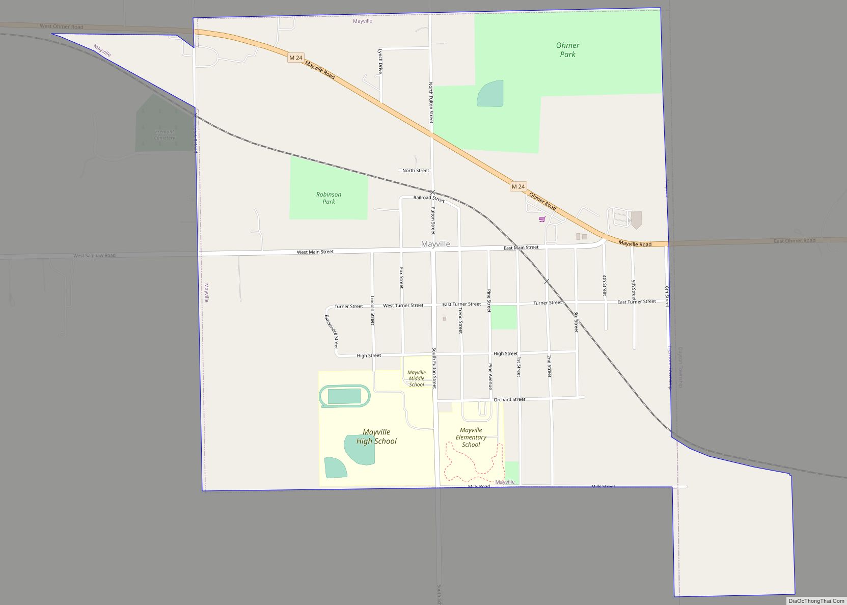
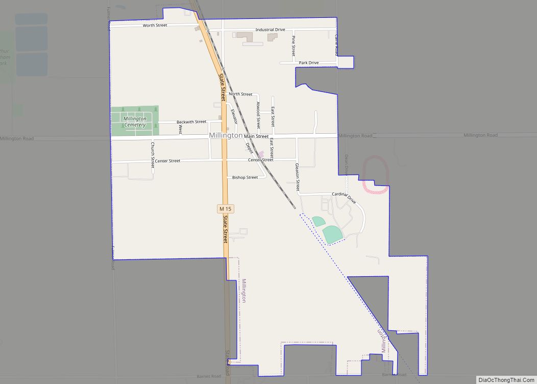
Online Interactive Map
Click on ![]() to view map in "full screen" mode.
to view map in "full screen" mode.
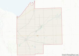
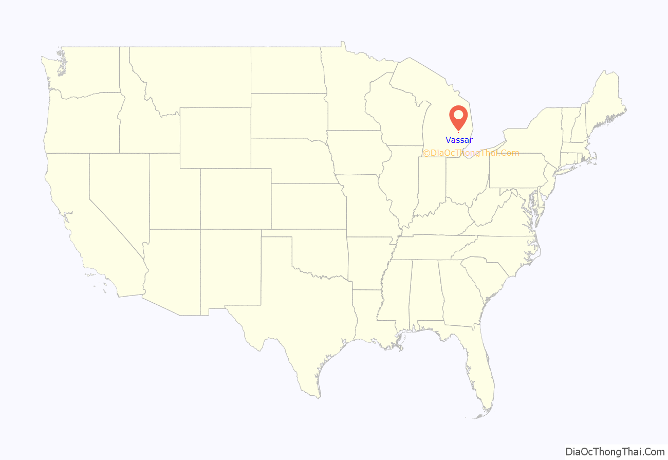
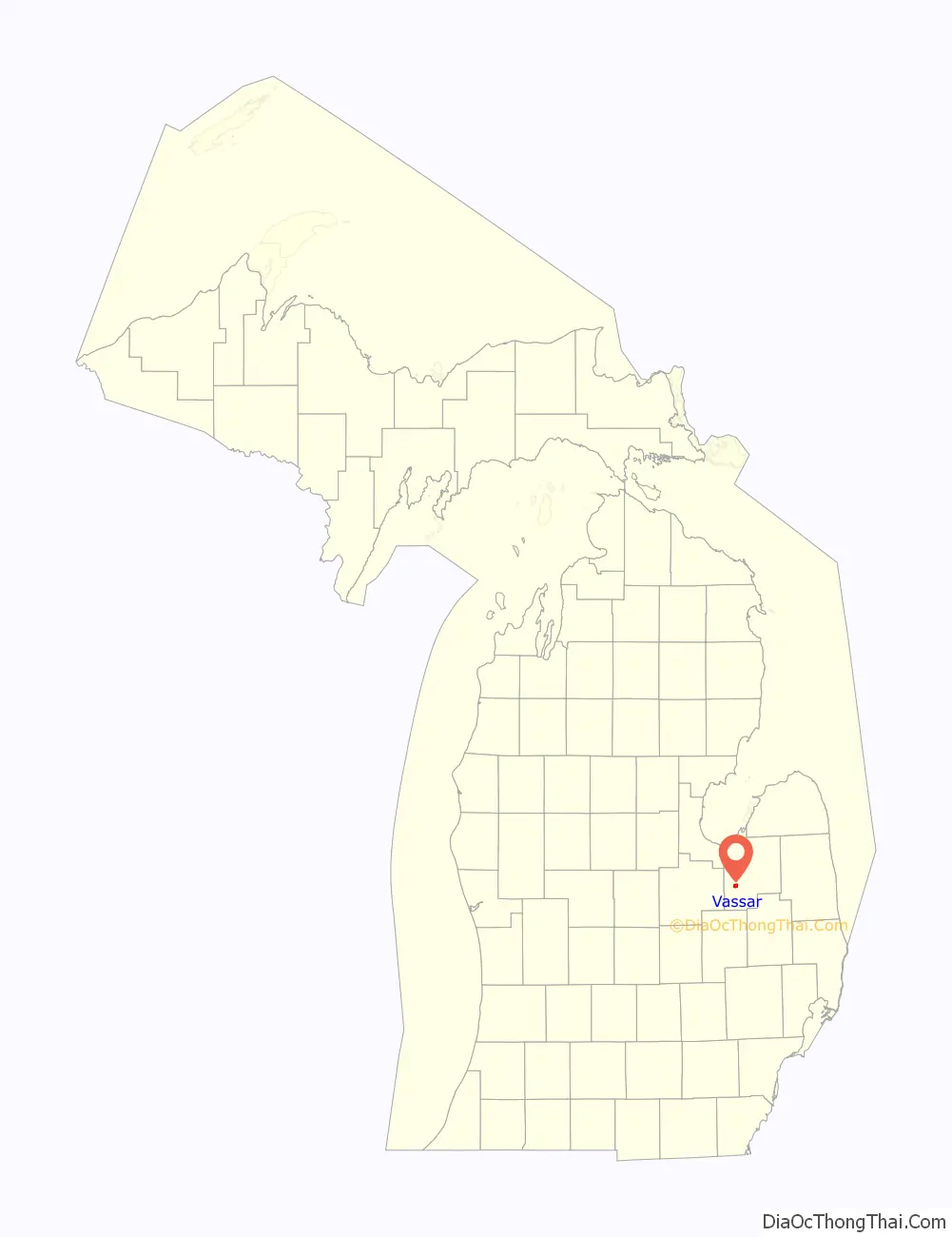
Vassar location map. Where is Vassar city?
History
Vassar was founded by four men who were led by James M. Edmunds and Townsend North in search of an area to build a dam and start a city. The city was named after Edmund’s uncle, Matthew Vassar, who later founded Vassar College.
It was the first county seat of Tuscola County. In 1860, the seat was moved to Caro. Vassar’s growth for the next thirty years was based mainly on its lumbering and a handful of related industries.
The settlement became a village in 1871. Vassar was the crossing of the Michigan Central’s Bay City Branch (from Detroit) and the Port Huron & Northwestern (from 1900 Pere Marquette) line running between Saginaw and Port Huron via Marlette.
The voters of the Village of Vassar elected to become a city on September 28, 1944. On February 19, 1945, the voters approved the charter for the City of Vassar.
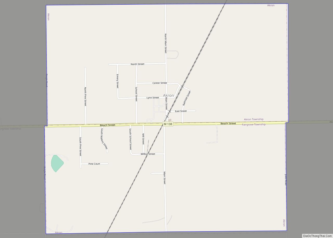
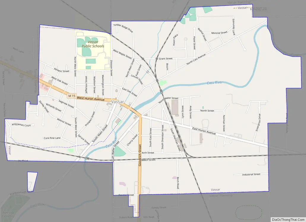
Vassar Road Map
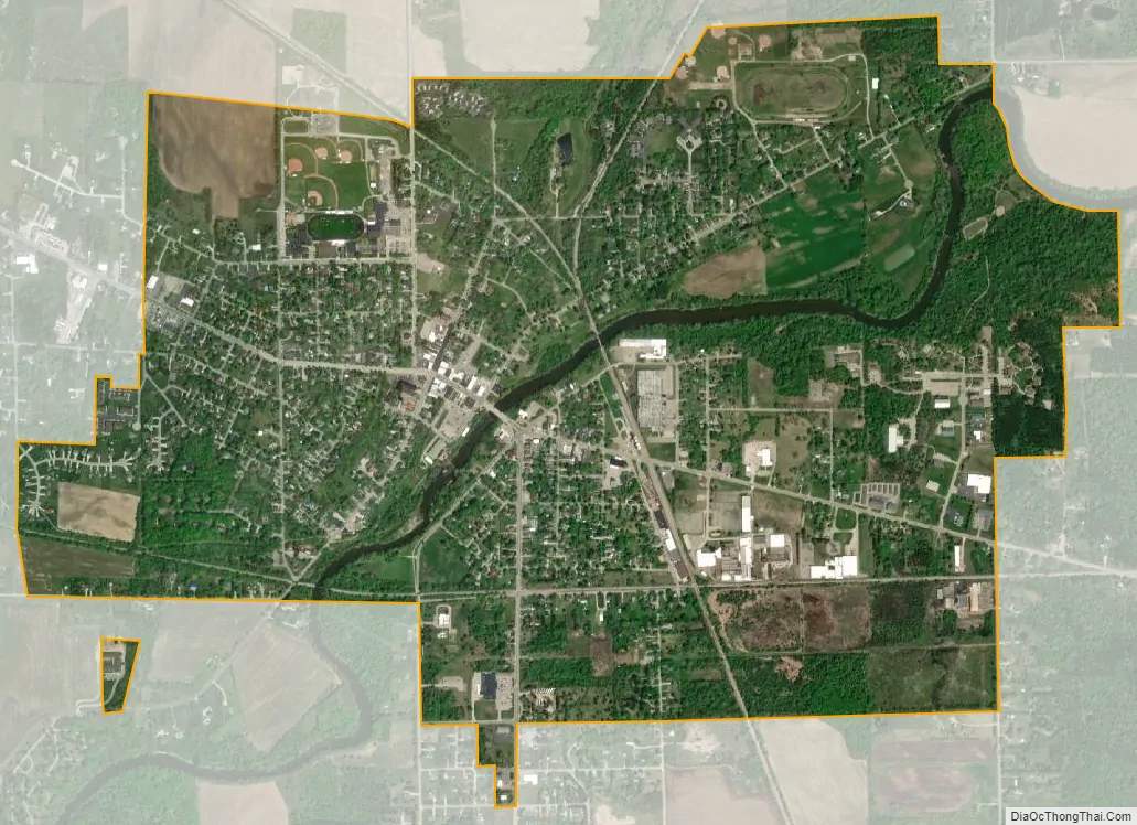
Vassar city Satellite Map
Geography
- According to the United States Census Bureau, the city has a total area of 2.18 square miles (5.65 km), of which 2.12 square miles (5.49 km) is land and 0.06 square miles (0.16 km) is water. The Cass River flows through the city.
- It is considered to be part of the Thumb of Michigan, which in turn is a subregion of the Flint/Tri-Cities.
See also
Map of Michigan State and its subdivision:- Alcona
- Alger
- Allegan
- Alpena
- Antrim
- Arenac
- Baraga
- Barry
- Bay
- Benzie
- Berrien
- Branch
- Calhoun
- Cass
- Charlevoix
- Cheboygan
- Chippewa
- Clare
- Clinton
- Crawford
- Delta
- Dickinson
- Eaton
- Emmet
- Genesee
- Gladwin
- Gogebic
- Grand Traverse
- Gratiot
- Hillsdale
- Houghton
- Huron
- Ingham
- Ionia
- Iosco
- Iron
- Isabella
- Jackson
- Kalamazoo
- Kalkaska
- Kent
- Keweenaw
- Lake
- Lake Hurron
- Lake Michigan
- Lake St. Clair
- Lake Superior
- Lapeer
- Leelanau
- Lenawee
- Livingston
- Luce
- Mackinac
- Macomb
- Manistee
- Marquette
- Mason
- Mecosta
- Menominee
- Midland
- Missaukee
- Monroe
- Montcalm
- Montmorency
- Muskegon
- Newaygo
- Oakland
- Oceana
- Ogemaw
- Ontonagon
- Osceola
- Oscoda
- Otsego
- Ottawa
- Presque Isle
- Roscommon
- Saginaw
- Saint Clair
- Saint Joseph
- Sanilac
- Schoolcraft
- Shiawassee
- Tuscola
- Van Buren
- Washtenaw
- Wayne
- Wexford
- Alabama
- Alaska
- Arizona
- Arkansas
- California
- Colorado
- Connecticut
- Delaware
- District of Columbia
- Florida
- Georgia
- Hawaii
- Idaho
- Illinois
- Indiana
- Iowa
- Kansas
- Kentucky
- Louisiana
- Maine
- Maryland
- Massachusetts
- Michigan
- Minnesota
- Mississippi
- Missouri
- Montana
- Nebraska
- Nevada
- New Hampshire
- New Jersey
- New Mexico
- New York
- North Carolina
- North Dakota
- Ohio
- Oklahoma
- Oregon
- Pennsylvania
- Rhode Island
- South Carolina
- South Dakota
- Tennessee
- Texas
- Utah
- Vermont
- Virginia
- Washington
- West Virginia
- Wisconsin
- Wyoming