Vermontville is a village in Eaton County in the U.S. state of Michigan. The population was 759 at the 2010 census. It is located within Vermontville Township. Vermontville is home to the original maple syrup festival in Michigan, held the last full weekend in April.
Vermontville is served by Maple Valley Schools.
| Name: | Vermontville village |
|---|---|
| LSAD Code: | 47 |
| LSAD Description: | village (suffix) |
| State: | Michigan |
| County: | Eaton County |
| Founded: | 1836 |
| Elevation: | 935 ft (285 m) |
| Total Area: | 1.28 sq mi (3.31 km²) |
| Land Area: | 1.27 sq mi (3.28 km²) |
| Water Area: | 0.01 sq mi (0.03 km²) |
| Total Population: | 716 |
| Population Density: | 565.56/sq mi (218.28/km²) |
| ZIP code: | 49096 |
| Area code: | 517 |
| FIPS code: | 2681960 |
| GNISfeature ID: | 1615548 |
| Website: | vermontville-mi.gov |
Online Interactive Map
Click on ![]() to view map in "full screen" mode.
to view map in "full screen" mode.
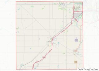
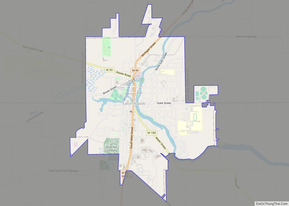
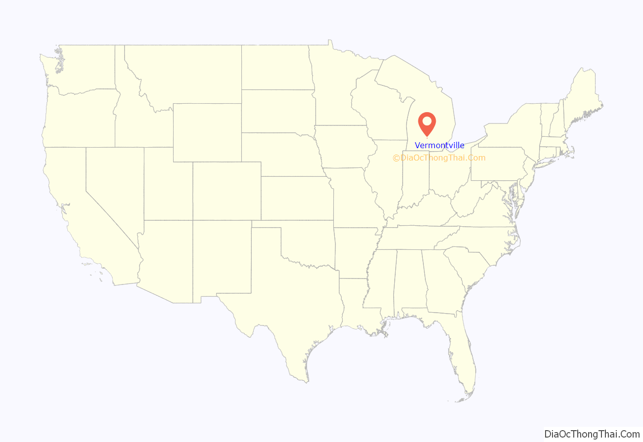
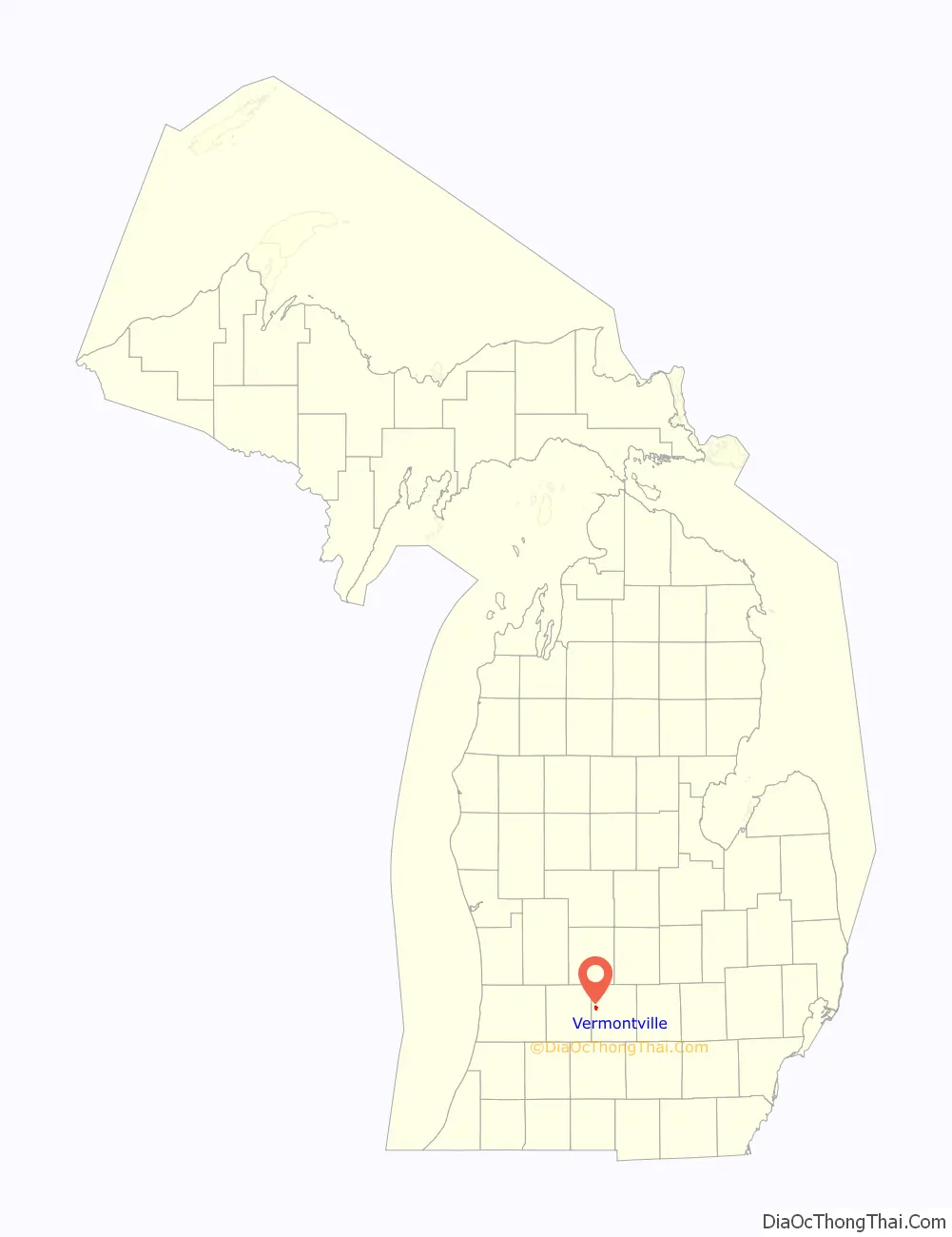
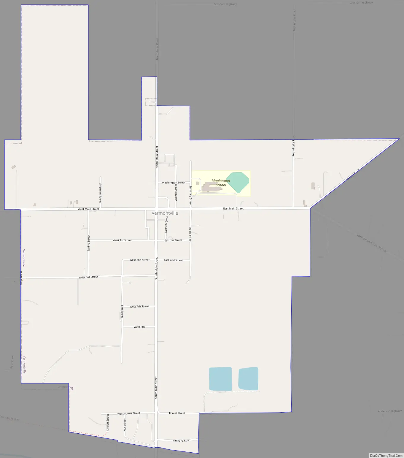
Vermontville location map. Where is Vermontville village?
History
The Village of Vermontville was organized in 1836 by the Reverend Sylvester Cochrane, a Congregational minister from East Poultney, Vermont and the Union Colony. The village was incorporated on March 11, 1871, by an act of the Legislature.
The Village of Vermontville is served by the Vermontville Township Public Library, which opened its doors on opened February 12, 1949. The library is located on the first floor of the Opera House.
The Fire Department was established in 1836 with a cooperative effort between the Village of Vermontville and Vermontville Township. It is now under the control of the Township.
Vermontville Academy & Museum (erected 1844 owned by Vermontville First Congregational Church; original First Congregational Church)
Vermontville Opera House (erected 1893 or 1896; completed 1898 by Village of Vermontville and Vermontville Township; joint ownership)
Vermontville First Congregational Church (erected 1864)
Vermontville United Methodist Church (erected 1862 / moved to Village of Vermontville 1877)
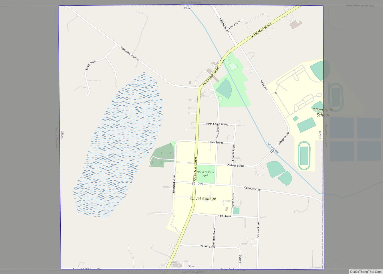
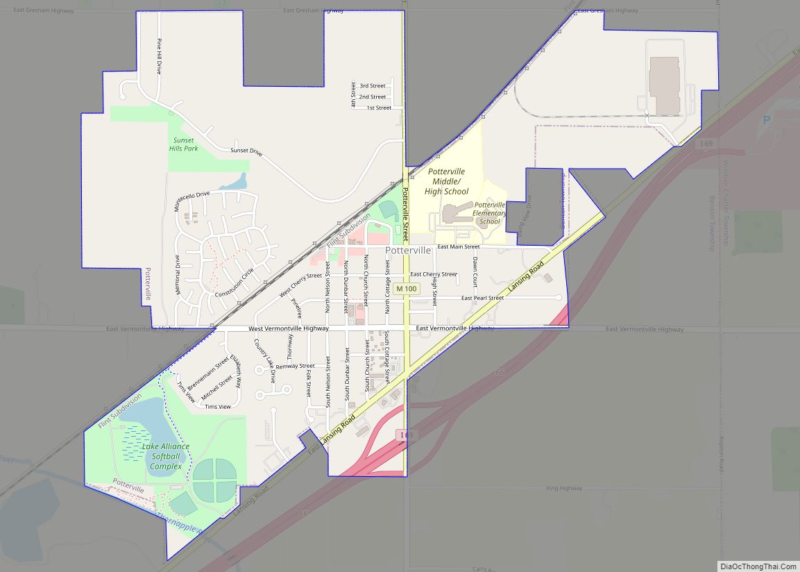
Vermontville Road Map
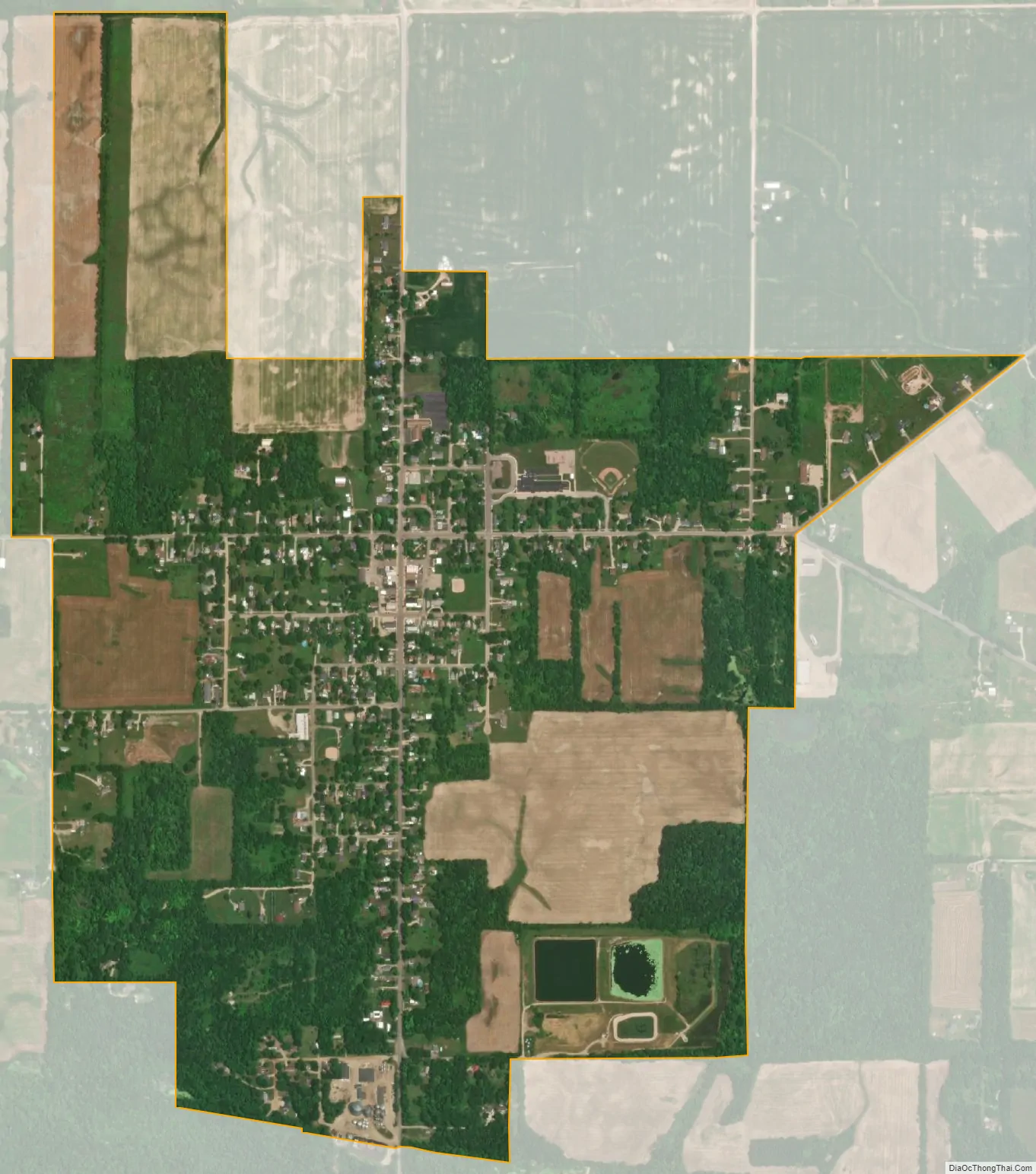
Vermontville city Satellite Map
Geography
According to the United States Census Bureau, the village has a total area of 1.27 square miles (3.29 km), of which, 1.26 square miles (3.26 km) of it is land and 0.01 square miles (0.03 km) is water.
See also
Map of Michigan State and its subdivision:- Alcona
- Alger
- Allegan
- Alpena
- Antrim
- Arenac
- Baraga
- Barry
- Bay
- Benzie
- Berrien
- Branch
- Calhoun
- Cass
- Charlevoix
- Cheboygan
- Chippewa
- Clare
- Clinton
- Crawford
- Delta
- Dickinson
- Eaton
- Emmet
- Genesee
- Gladwin
- Gogebic
- Grand Traverse
- Gratiot
- Hillsdale
- Houghton
- Huron
- Ingham
- Ionia
- Iosco
- Iron
- Isabella
- Jackson
- Kalamazoo
- Kalkaska
- Kent
- Keweenaw
- Lake
- Lake Hurron
- Lake Michigan
- Lake St. Clair
- Lake Superior
- Lapeer
- Leelanau
- Lenawee
- Livingston
- Luce
- Mackinac
- Macomb
- Manistee
- Marquette
- Mason
- Mecosta
- Menominee
- Midland
- Missaukee
- Monroe
- Montcalm
- Montmorency
- Muskegon
- Newaygo
- Oakland
- Oceana
- Ogemaw
- Ontonagon
- Osceola
- Oscoda
- Otsego
- Ottawa
- Presque Isle
- Roscommon
- Saginaw
- Saint Clair
- Saint Joseph
- Sanilac
- Schoolcraft
- Shiawassee
- Tuscola
- Van Buren
- Washtenaw
- Wayne
- Wexford
- Alabama
- Alaska
- Arizona
- Arkansas
- California
- Colorado
- Connecticut
- Delaware
- District of Columbia
- Florida
- Georgia
- Hawaii
- Idaho
- Illinois
- Indiana
- Iowa
- Kansas
- Kentucky
- Louisiana
- Maine
- Maryland
- Massachusetts
- Michigan
- Minnesota
- Mississippi
- Missouri
- Montana
- Nebraska
- Nevada
- New Hampshire
- New Jersey
- New Mexico
- New York
- North Carolina
- North Dakota
- Ohio
- Oklahoma
- Oregon
- Pennsylvania
- Rhode Island
- South Carolina
- South Dakota
- Tennessee
- Texas
- Utah
- Vermont
- Virginia
- Washington
- West Virginia
- Wisconsin
- Wyoming