Clarkston is a city in Oakland County, Michigan, United States. A northern suburb of Detroit, located about 34 mi (55 km) northwest of downtown Detroit, Clarkston is surrounded by Independence Township, but administered independently since its incorporation in 1992. At the 2010 census, the city had a population of 882. With a total land area of 0.44 square miles (1.14 km), Clarkston is the smallest city by land area in the state of Michigan.
| Name: | Village of Clarkston city |
|---|---|
| LSAD Code: | 25 |
| LSAD Description: | city (suffix) |
| State: | Michigan |
| County: | Oakland County |
| Incorporated: | 1884 (village) 1992 (city) |
| Land Area: | 0.44 sq mi (1.15 km²) |
| Water Area: | 0.08 sq mi (0.20 km²) |
| Population Density: | 2,094.81/sq mi (809.39/km²) |
| Area code: | 248 and 947 |
| FIPS code: | 2682450 |
| GNISfeature ID: | 623384 |
Online Interactive Map
Click on ![]() to view map in "full screen" mode.
to view map in "full screen" mode.
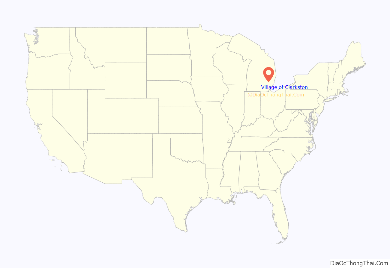
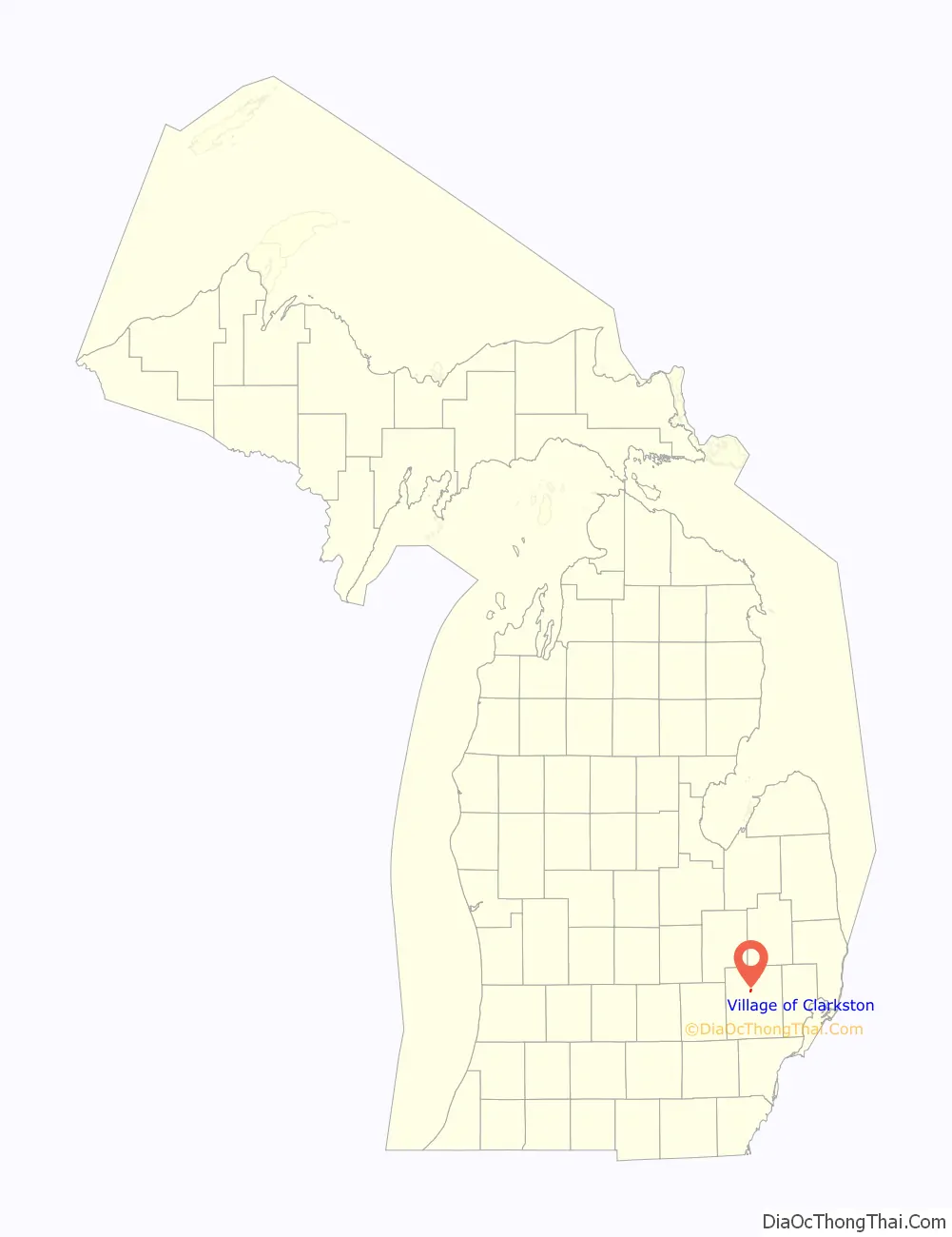
Village of Clarkston location map. Where is Village of Clarkston city?
History
Squatter Linux Jacox from New York built the first house, a Shanty, in Clarkston in 1830. In 1832, Butler Holcomb built the second house and a sawmill. On December 12, 1840, the Independence post office was transferred to the community and assumed its name. In 1842, the Clark brothers platted a tract of land for a village and gave it the name Clarkston. Clarkston was incorporated in 1884 as a village.
In 1992, the village of Clarkston was incorporated as a city.
Historic district
The Village of Clarkston was designated a Michigan State Historic Site on January 16, 1976 and was listed on the National Register of Historic Places on May 15, 1979.
The Clarkston Village Historic District includes Buffalo Street, Church Street, Clarkston Road, Depot Road, Holcomb Street, Main Street (M-15), Miller Road, Waldon Road and Washington Street.
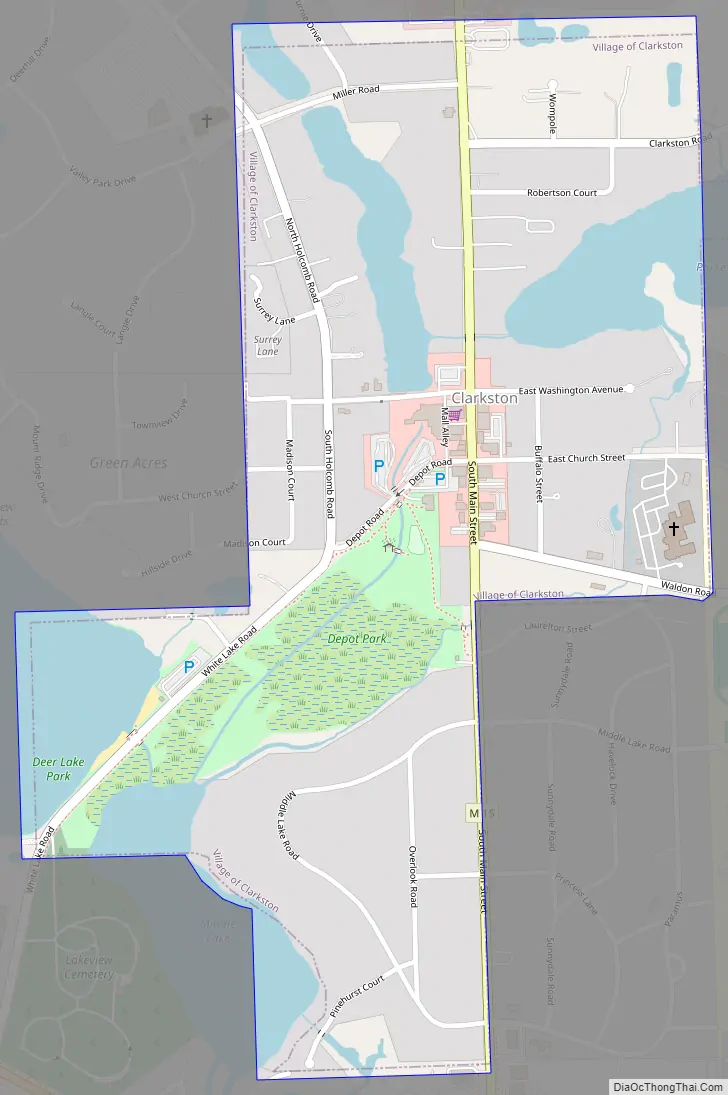
Village of Clarkston Road Map
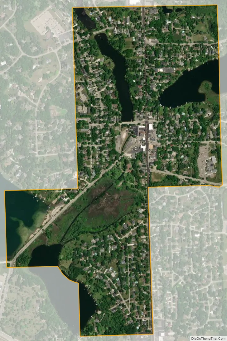
Village of Clarkston city Satellite Map
Geography
According to the United States Census Bureau, the city has a total area of 0.51 square miles (1.32 km), of which 0.44 square miles (1.14 km) is land and 0.07 square miles (0.18 km) (13.73%) is water.
Clarkston is the smallest city by land area in the state of Michigan. However, the city of Petersburg has a larger land area at 0.48 square miles (1.24 km) but a smaller total area (when water area is included). Clarkston has a total area of 0.51 square miles (1.32 km), while Petersburg contains no water and a total area of 0.48 square miles (1.24 km).
See also
Map of Michigan State and its subdivision:- Alcona
- Alger
- Allegan
- Alpena
- Antrim
- Arenac
- Baraga
- Barry
- Bay
- Benzie
- Berrien
- Branch
- Calhoun
- Cass
- Charlevoix
- Cheboygan
- Chippewa
- Clare
- Clinton
- Crawford
- Delta
- Dickinson
- Eaton
- Emmet
- Genesee
- Gladwin
- Gogebic
- Grand Traverse
- Gratiot
- Hillsdale
- Houghton
- Huron
- Ingham
- Ionia
- Iosco
- Iron
- Isabella
- Jackson
- Kalamazoo
- Kalkaska
- Kent
- Keweenaw
- Lake
- Lake Hurron
- Lake Michigan
- Lake St. Clair
- Lake Superior
- Lapeer
- Leelanau
- Lenawee
- Livingston
- Luce
- Mackinac
- Macomb
- Manistee
- Marquette
- Mason
- Mecosta
- Menominee
- Midland
- Missaukee
- Monroe
- Montcalm
- Montmorency
- Muskegon
- Newaygo
- Oakland
- Oceana
- Ogemaw
- Ontonagon
- Osceola
- Oscoda
- Otsego
- Ottawa
- Presque Isle
- Roscommon
- Saginaw
- Saint Clair
- Saint Joseph
- Sanilac
- Schoolcraft
- Shiawassee
- Tuscola
- Van Buren
- Washtenaw
- Wayne
- Wexford
- Alabama
- Alaska
- Arizona
- Arkansas
- California
- Colorado
- Connecticut
- Delaware
- District of Columbia
- Florida
- Georgia
- Hawaii
- Idaho
- Illinois
- Indiana
- Iowa
- Kansas
- Kentucky
- Louisiana
- Maine
- Maryland
- Massachusetts
- Michigan
- Minnesota
- Mississippi
- Missouri
- Montana
- Nebraska
- Nevada
- New Hampshire
- New Jersey
- New Mexico
- New York
- North Carolina
- North Dakota
- Ohio
- Oklahoma
- Oregon
- Pennsylvania
- Rhode Island
- South Carolina
- South Dakota
- Tennessee
- Texas
- Utah
- Vermont
- Virginia
- Washington
- West Virginia
- Wisconsin
- Wyoming


