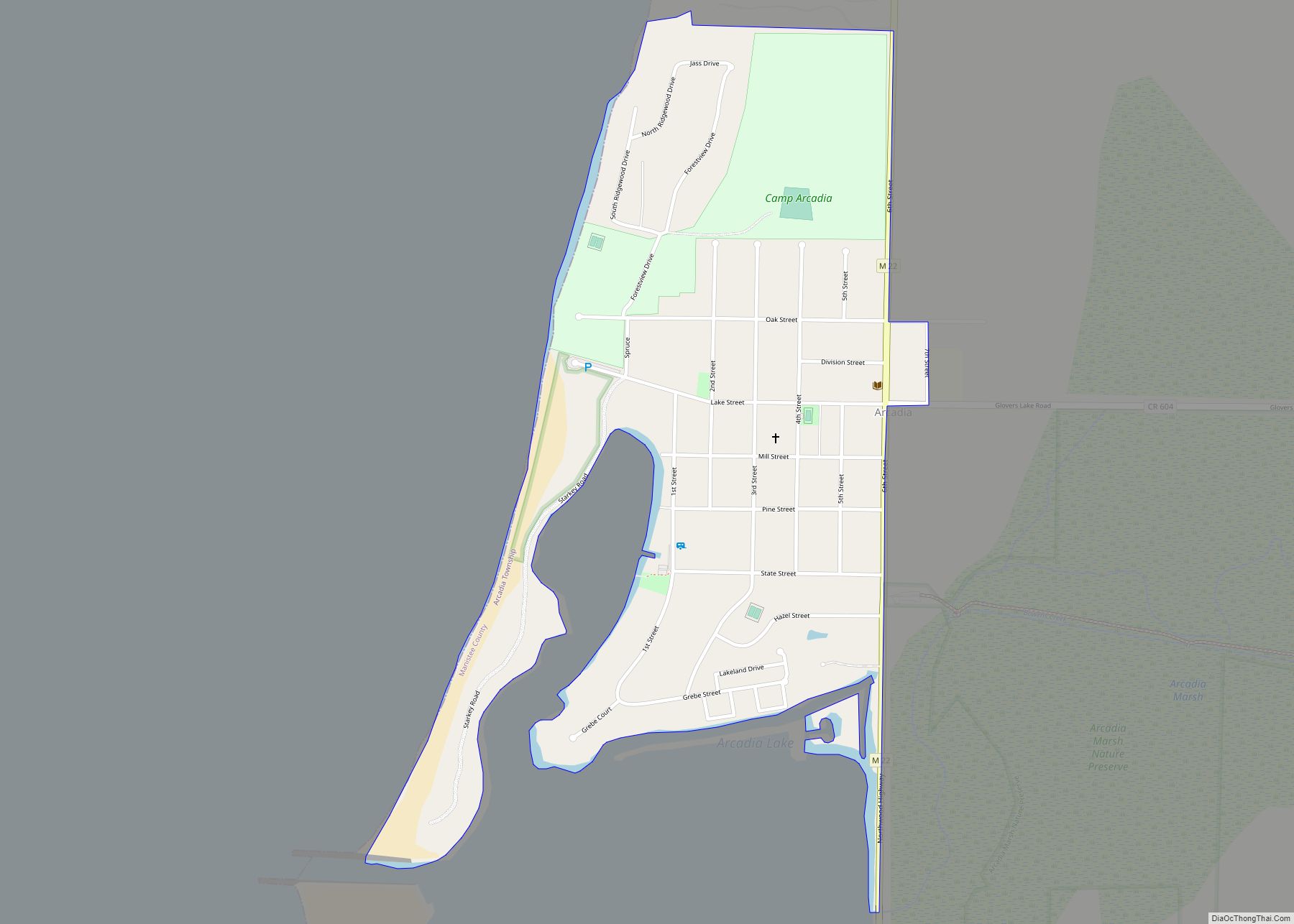
Wellston is an unincorporated community and census-designated place in Norman Township, Manistee County, Michigan, United States. Its population was 246 as of the 2020 census. The community is in the Manistee National Forest just south of M-55, about 20 miles east of Manistee and about 25 miles west of Cadillac. Wellston has a post office with ZIP code 49689.
| Name: | Wellston CDP |
|---|---|
| LSAD Code: | 57 |
| LSAD Description: | CDP (suffix) |
| State: | Michigan |
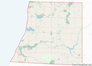
| County: | Manistee County |
| Elevation: | 774 ft (236 m) |
| Total Area: | 1.01 sq mi (2.63 km²) |
| Land Area: | 0.97 sq mi (2.52 km²) |
| Water Area: | 0.04 sq mi (0.11 km²) |
| Total Population: | 254 |
| Population Density: | 260.78/sq mi (100.64/km²) |
| ZIP code: | 49689 |
| Area code: | 231 |
| FIPS code: | 2685300 |
| GNISfeature ID: | 1622084 |
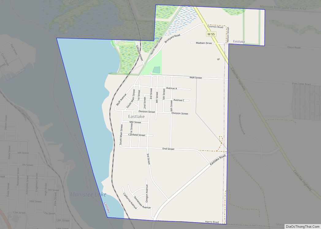
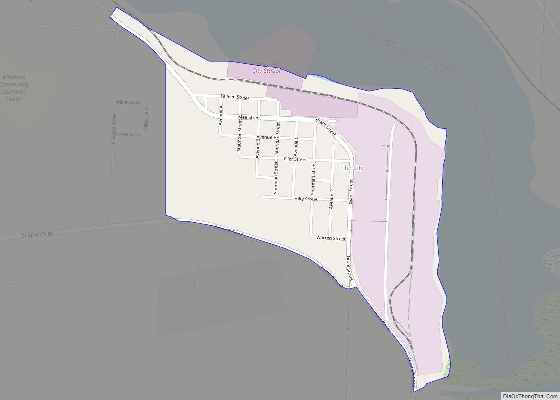
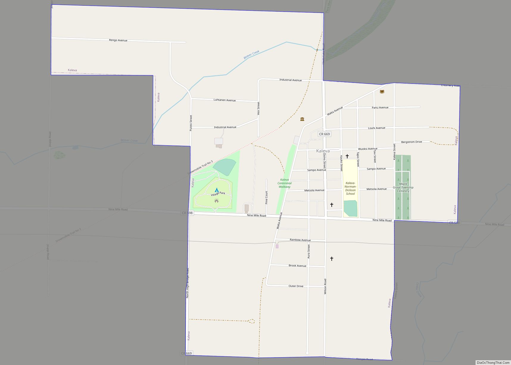
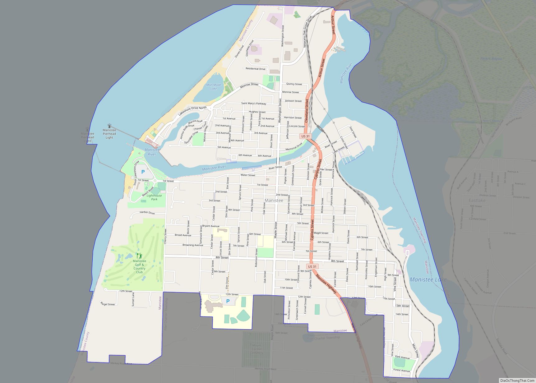
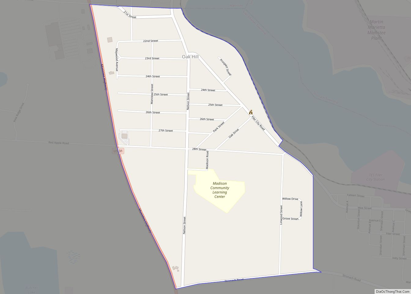
Online Interactive Map
Click on ![]() to view map in "full screen" mode.
to view map in "full screen" mode.
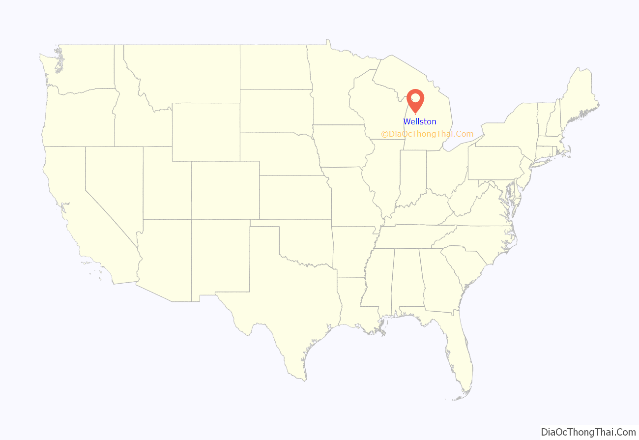
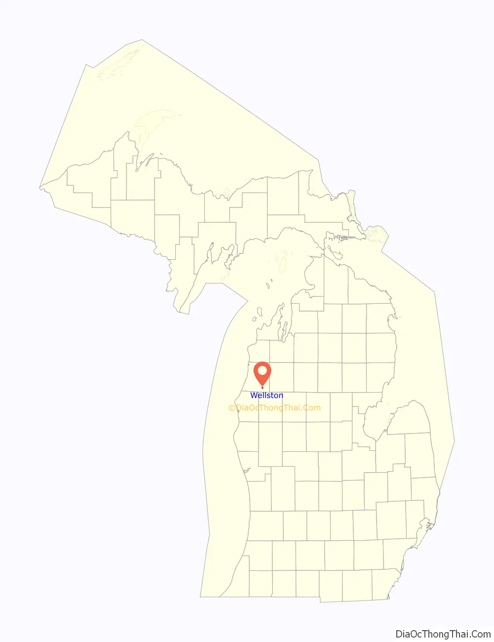
Wellston location map. Where is Wellston CDP?
History
Wellston was named for its first postmaster, Adelmer J. Wells. The post office officially opened June 30, 1892. The town was founded by the Swigart Land Company along the Chicago and West Michigan Railroad. Wellston is home to the critically ill children’s ministry Little Mary’s Hospitality House, which was founded in 1982.
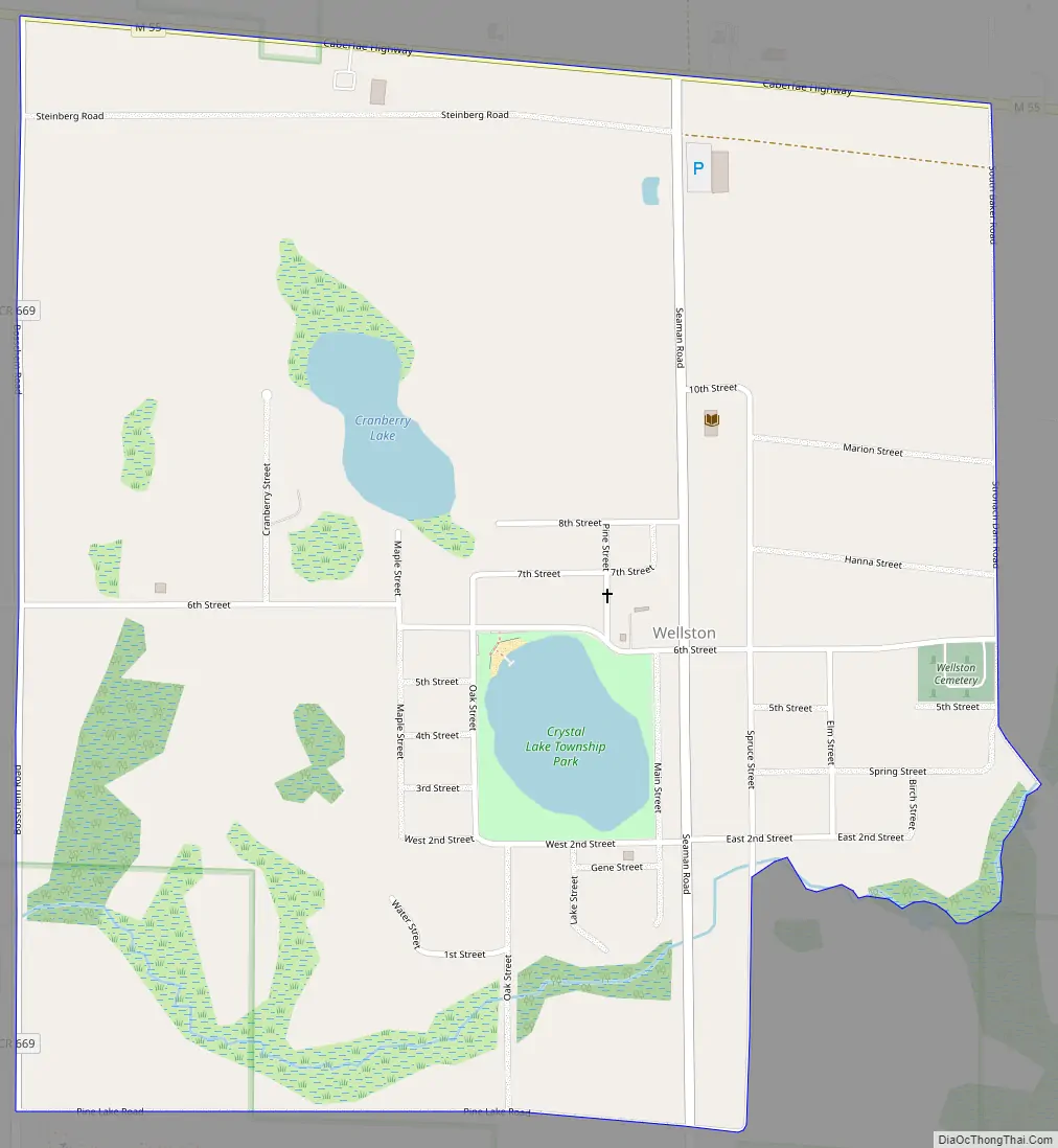
Wellston Road Map
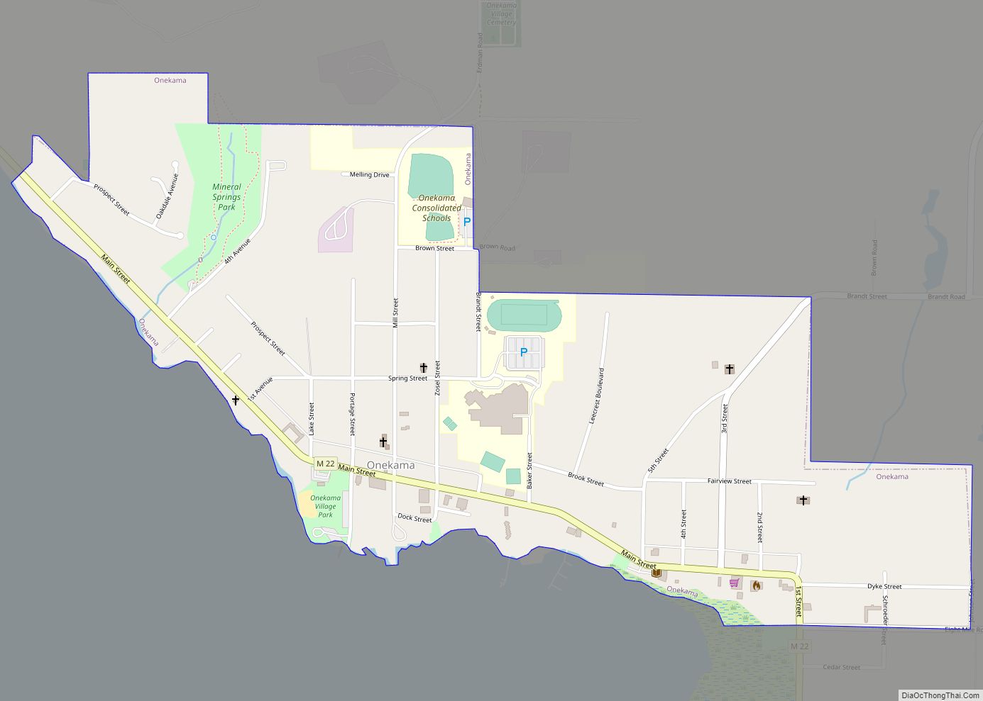
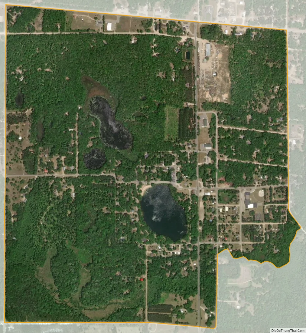
Wellston city Satellite Map
Geography
According to the U.S. Census Bureau, the community has an area of 0.522 square miles (1.35 km), all of it land.
M-55 is a highway just north of the community.
See also
Map of Michigan State and its subdivision:- Alcona
- Alger
- Allegan
- Alpena
- Antrim
- Arenac
- Baraga
- Barry
- Bay
- Benzie
- Berrien
- Branch
- Calhoun
- Cass
- Charlevoix
- Cheboygan
- Chippewa
- Clare
- Clinton
- Crawford
- Delta
- Dickinson
- Eaton
- Emmet
- Genesee
- Gladwin
- Gogebic
- Grand Traverse
- Gratiot
- Hillsdale
- Houghton
- Huron
- Ingham
- Ionia
- Iosco
- Iron
- Isabella
- Jackson
- Kalamazoo
- Kalkaska
- Kent
- Keweenaw
- Lake
- Lake Hurron
- Lake Michigan
- Lake St. Clair
- Lake Superior
- Lapeer
- Leelanau
- Lenawee
- Livingston
- Luce
- Mackinac
- Macomb
- Manistee
- Marquette
- Mason
- Mecosta
- Menominee
- Midland
- Missaukee
- Monroe
- Montcalm
- Montmorency
- Muskegon
- Newaygo
- Oakland
- Oceana
- Ogemaw
- Ontonagon
- Osceola
- Oscoda
- Otsego
- Ottawa
- Presque Isle
- Roscommon
- Saginaw
- Saint Clair
- Saint Joseph
- Sanilac
- Schoolcraft
- Shiawassee
- Tuscola
- Van Buren
- Washtenaw
- Wayne
- Wexford
- Alabama
- Alaska
- Arizona
- Arkansas
- California
- Colorado
- Connecticut
- Delaware
- District of Columbia
- Florida
- Georgia
- Hawaii
- Idaho
- Illinois
- Indiana
- Iowa
- Kansas
- Kentucky
- Louisiana
- Maine
- Maryland
- Massachusetts
- Michigan
- Minnesota
- Mississippi
- Missouri
- Montana
- Nebraska
- Nevada
- New Hampshire
- New Jersey
- New Mexico
- New York
- North Carolina
- North Dakota
- Ohio
- Oklahoma
- Oregon
- Pennsylvania
- Rhode Island
- South Carolina
- South Dakota
- Tennessee
- Texas
- Utah
- Vermont
- Virginia
- Washington
- West Virginia
- Wisconsin
- Wyoming