Westphalia is a village in Clinton County in the U.S. state of Michigan. The population was 924 at the time of the 2020 census. The village is in Westphalia Township, about 25 miles (40.2 km) northwest of Lansing and 55 miles (88.5 km) east of Grand Rapids. The village is known for its German and Catholic roots.
| Name: | Westphalia village |
|---|---|
| LSAD Code: | 47 |
| LSAD Description: | village (suffix) |
| State: | Michigan |
| County: | Clinton County |
| Founded: | 1836 |
| Elevation: | 758 ft (231 m) |
| Total Area: | 1.15 sq mi (2.96 km²) |
| Land Area: | 1.11 sq mi (2.88 km²) |
| Water Area: | 0.03 sq mi (0.08 km²) |
| Total Population: | 924 |
| Population Density: | 829.44/sq mi (320.31/km²) |
| Area code: | 989 |
| FIPS code: | 2686120 |
| GNISfeature ID: | 2400156 |
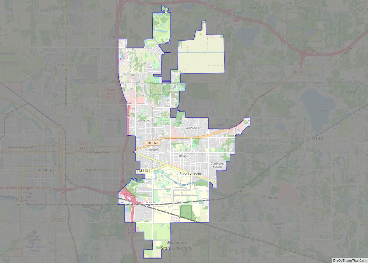
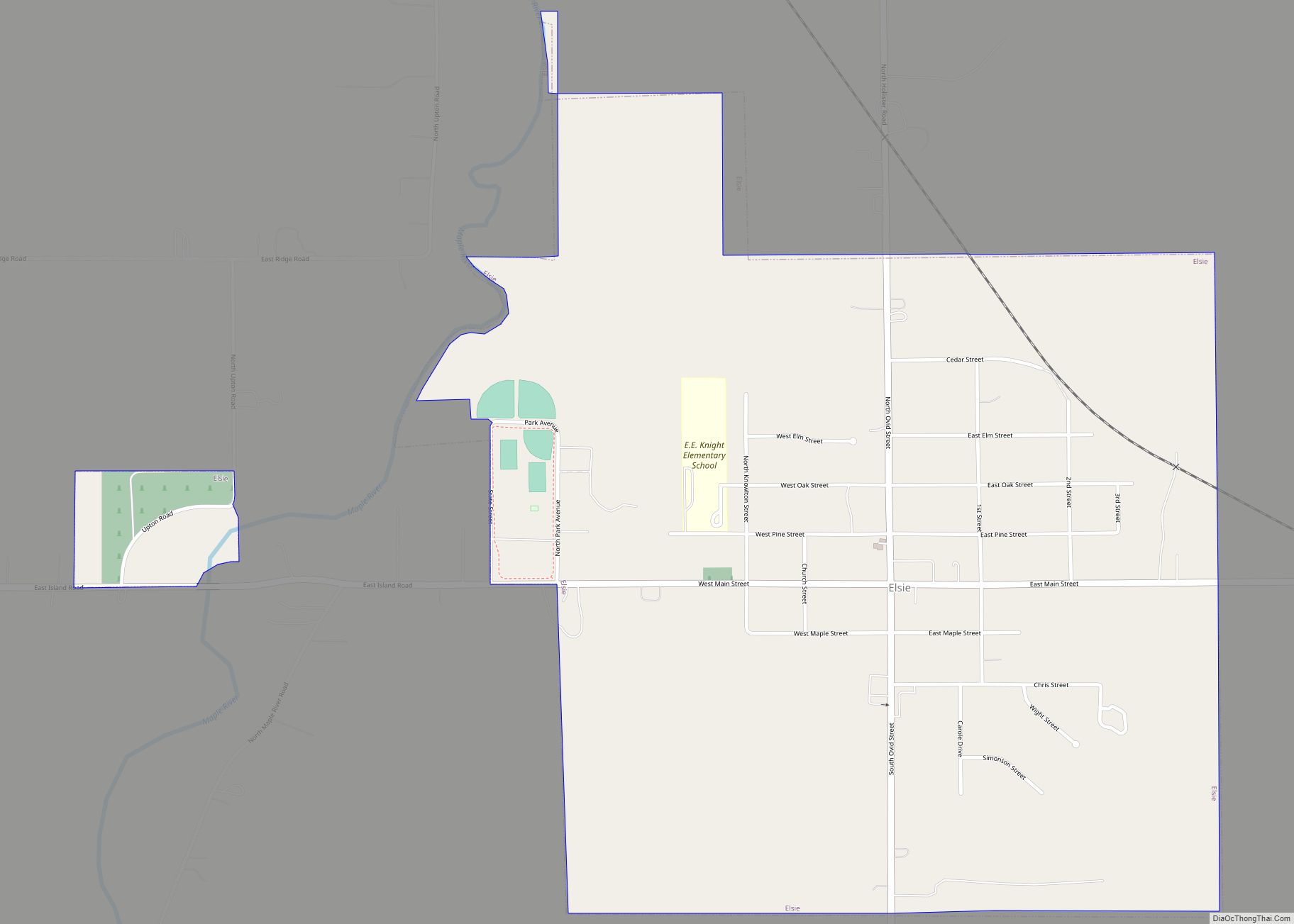
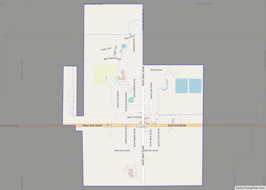
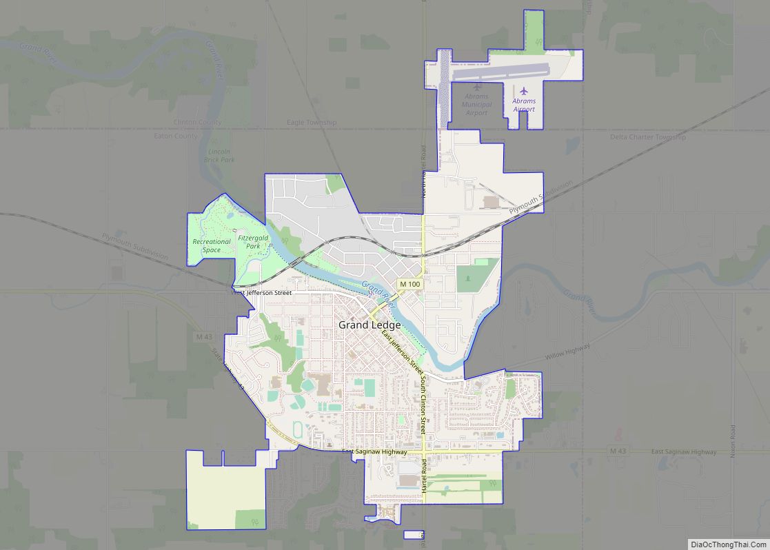
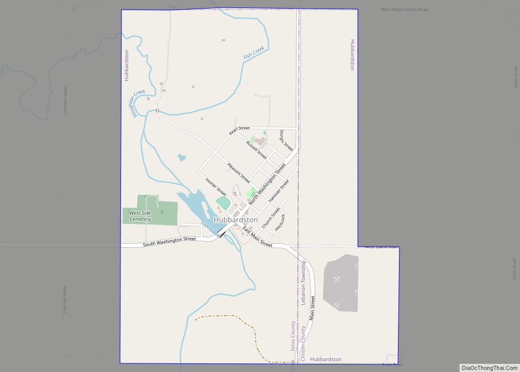
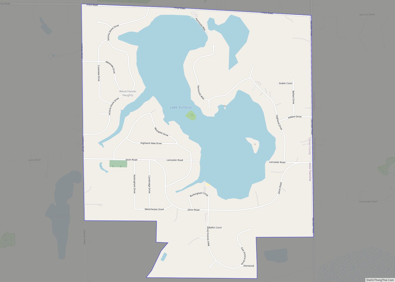
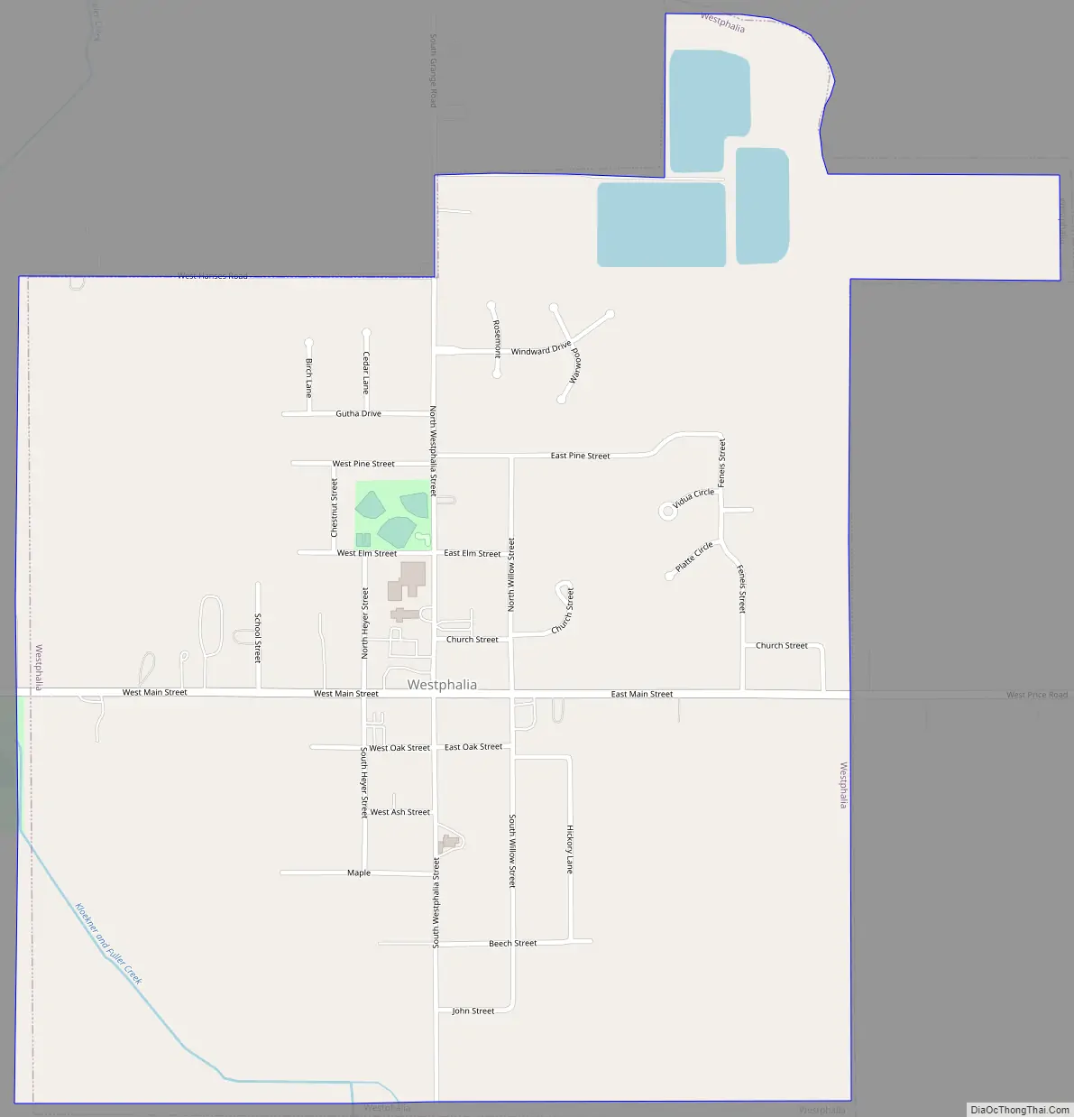
Online Interactive Map
Click on ![]() to view map in "full screen" mode.
to view map in "full screen" mode.
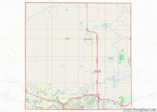
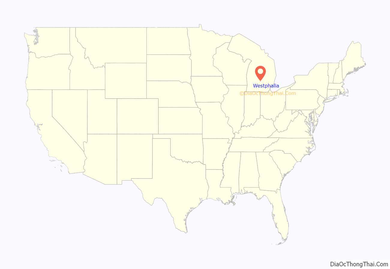
Westphalia location map. Where is Westphalia village?
History
Westphalia was founded in 1836 by a group of German settlers. It was named after the province of Westphalia in Germany. These settlers were German Catholics who emigrated from the Westphalian cities of Wimbach, Meerhof, and from Hesse, among others, and found the rich soil ideal for farming. Some family members stayed in Detroit, while others moved into the wilderness to clear farmland. The German-Catholic parish was established almost immediately after the settlers arrived. After buying the land at Ionia, Father Anton Kopp traveled to Detroit to visit Bishop Friedrich Reese, and returned to his assigned parish in September, 1837, where he celebrated Masses in the homes of the settlers in what is now St. Mary’s Parish.
In 2012, the village celebrated its 175th Anniversary.
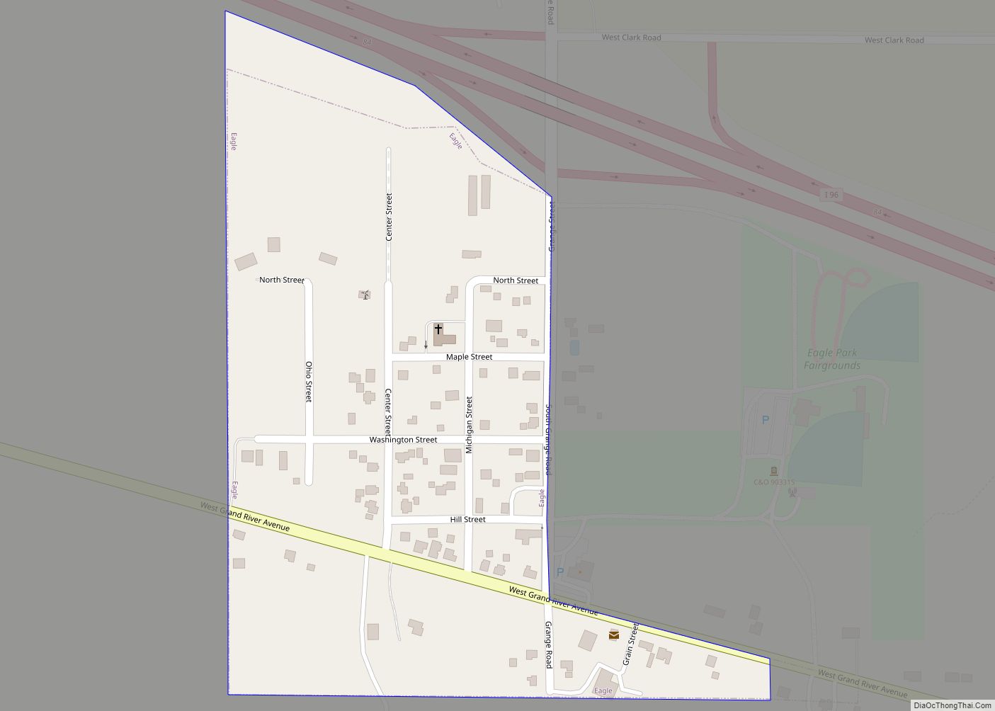
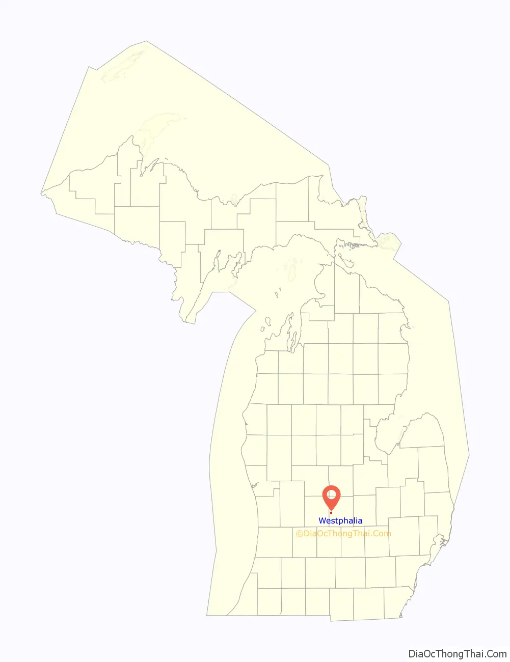
Westphalia Road Map
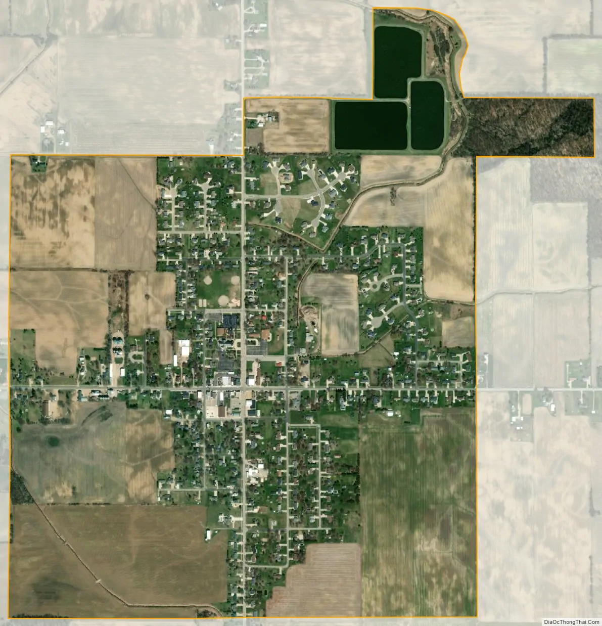
Westphalia city Satellite Map
Geography
According to the United States Census Bureau, the village has a total area of 1.14 square miles (2.95 km), of which 1.11 square miles (2.87 km) is land and 0.03 square miles (0.08 km) (2.63%) is water.
See also
Map of Michigan State and its subdivision:- Alcona
- Alger
- Allegan
- Alpena
- Antrim
- Arenac
- Baraga
- Barry
- Bay
- Benzie
- Berrien
- Branch
- Calhoun
- Cass
- Charlevoix
- Cheboygan
- Chippewa
- Clare
- Clinton
- Crawford
- Delta
- Dickinson
- Eaton
- Emmet
- Genesee
- Gladwin
- Gogebic
- Grand Traverse
- Gratiot
- Hillsdale
- Houghton
- Huron
- Ingham
- Ionia
- Iosco
- Iron
- Isabella
- Jackson
- Kalamazoo
- Kalkaska
- Kent
- Keweenaw
- Lake
- Lake Hurron
- Lake Michigan
- Lake St. Clair
- Lake Superior
- Lapeer
- Leelanau
- Lenawee
- Livingston
- Luce
- Mackinac
- Macomb
- Manistee
- Marquette
- Mason
- Mecosta
- Menominee
- Midland
- Missaukee
- Monroe
- Montcalm
- Montmorency
- Muskegon
- Newaygo
- Oakland
- Oceana
- Ogemaw
- Ontonagon
- Osceola
- Oscoda
- Otsego
- Ottawa
- Presque Isle
- Roscommon
- Saginaw
- Saint Clair
- Saint Joseph
- Sanilac
- Schoolcraft
- Shiawassee
- Tuscola
- Van Buren
- Washtenaw
- Wayne
- Wexford
- Alabama
- Alaska
- Arizona
- Arkansas
- California
- Colorado
- Connecticut
- Delaware
- District of Columbia
- Florida
- Georgia
- Hawaii
- Idaho
- Illinois
- Indiana
- Iowa
- Kansas
- Kentucky
- Louisiana
- Maine
- Maryland
- Massachusetts
- Michigan
- Minnesota
- Mississippi
- Missouri
- Montana
- Nebraska
- Nevada
- New Hampshire
- New Jersey
- New Mexico
- New York
- North Carolina
- North Dakota
- Ohio
- Oklahoma
- Oregon
- Pennsylvania
- Rhode Island
- South Carolina
- South Dakota
- Tennessee
- Texas
- Utah
- Vermont
- Virginia
- Washington
- West Virginia
- Wisconsin
- Wyoming