Whitehall is a city in Muskegon County in the U.S. state of Michigan. The population was 2,706 at the 2010 census. The city is located in the southwest corner of Whitehall Township. Montague is its neighbor.
It is located on White Lake (actually the mouth of the White River). Whitehall’s recorded history began circa 1859 when Charles Mears, a noted lumber baron to the area, platted the village along with Giles B. Slocum, naming it Mears. The population continued to grow due to its strategic location for floating and distributing lumber.
In 1862, it was renamed Whitehall and incorporated as the Village of Whitehall in 1867. It later was incorporated as a city in 1942.
| Name: | Whitehall city |
|---|---|
| LSAD Code: | 25 |
| LSAD Description: | city (suffix) |
| State: | Michigan |
| County: | Muskegon County |
| Elevation: | 607 ft (185 m) |
| Total Area: | 3.80 sq mi (9.84 km²) |
| Land Area: | 3.22 sq mi (8.33 km²) |
| Water Area: | 0.58 sq mi (1.51 km²) |
| Total Population: | 2,909 |
| Population Density: | 904.54/sq mi (349.30/km²) |
| ZIP code: | 49461, 49463 |
| Area code: | 231 |
| FIPS code: | 2686780 |
| GNISfeature ID: | 1622149 |
| Website: | www.cityofwhitehall.org |
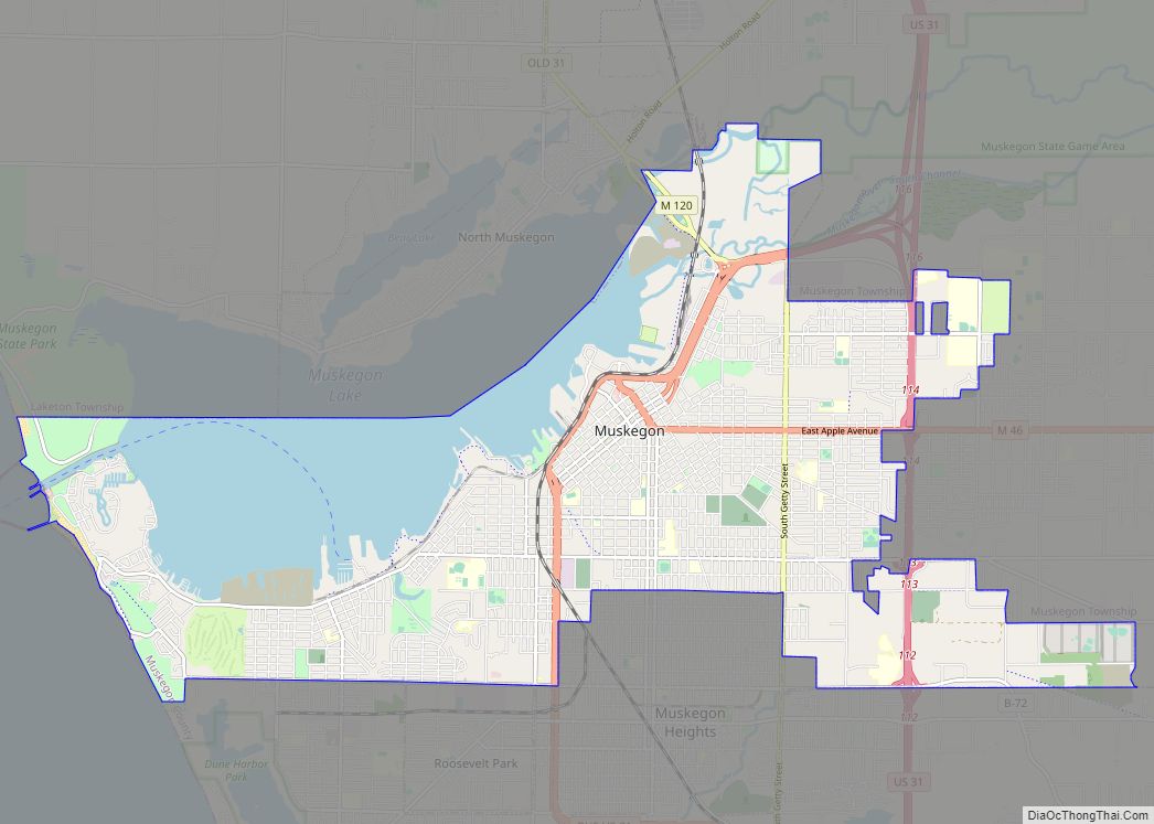
Online Interactive Map
Click on ![]() to view map in "full screen" mode.
to view map in "full screen" mode.
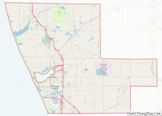
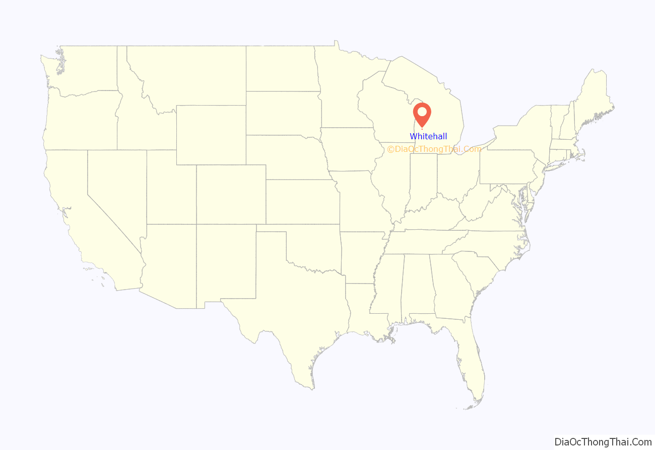
Whitehall location map. Where is Whitehall city?
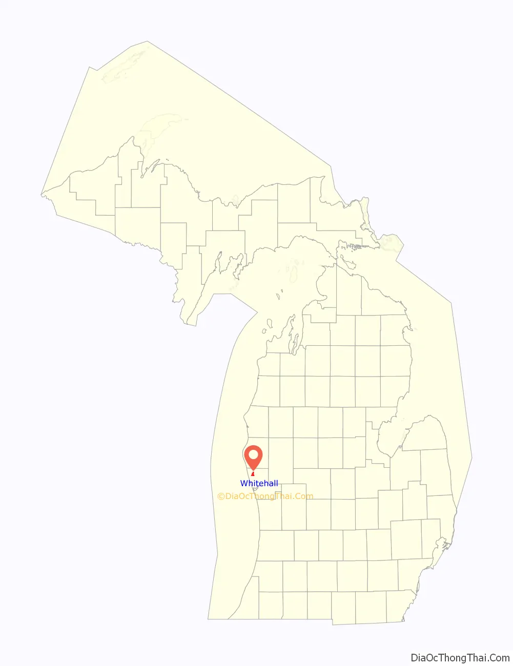
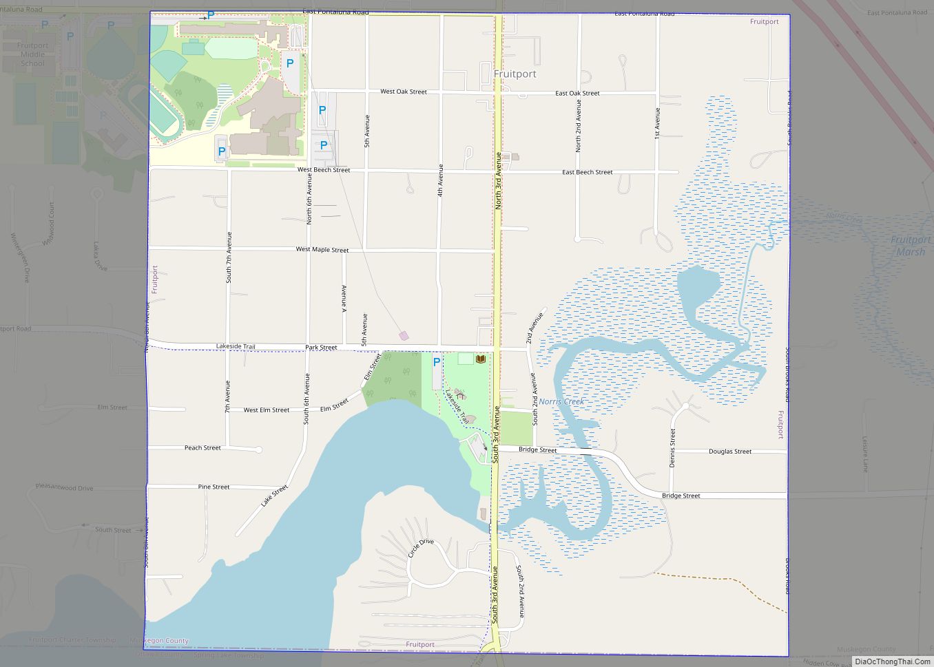
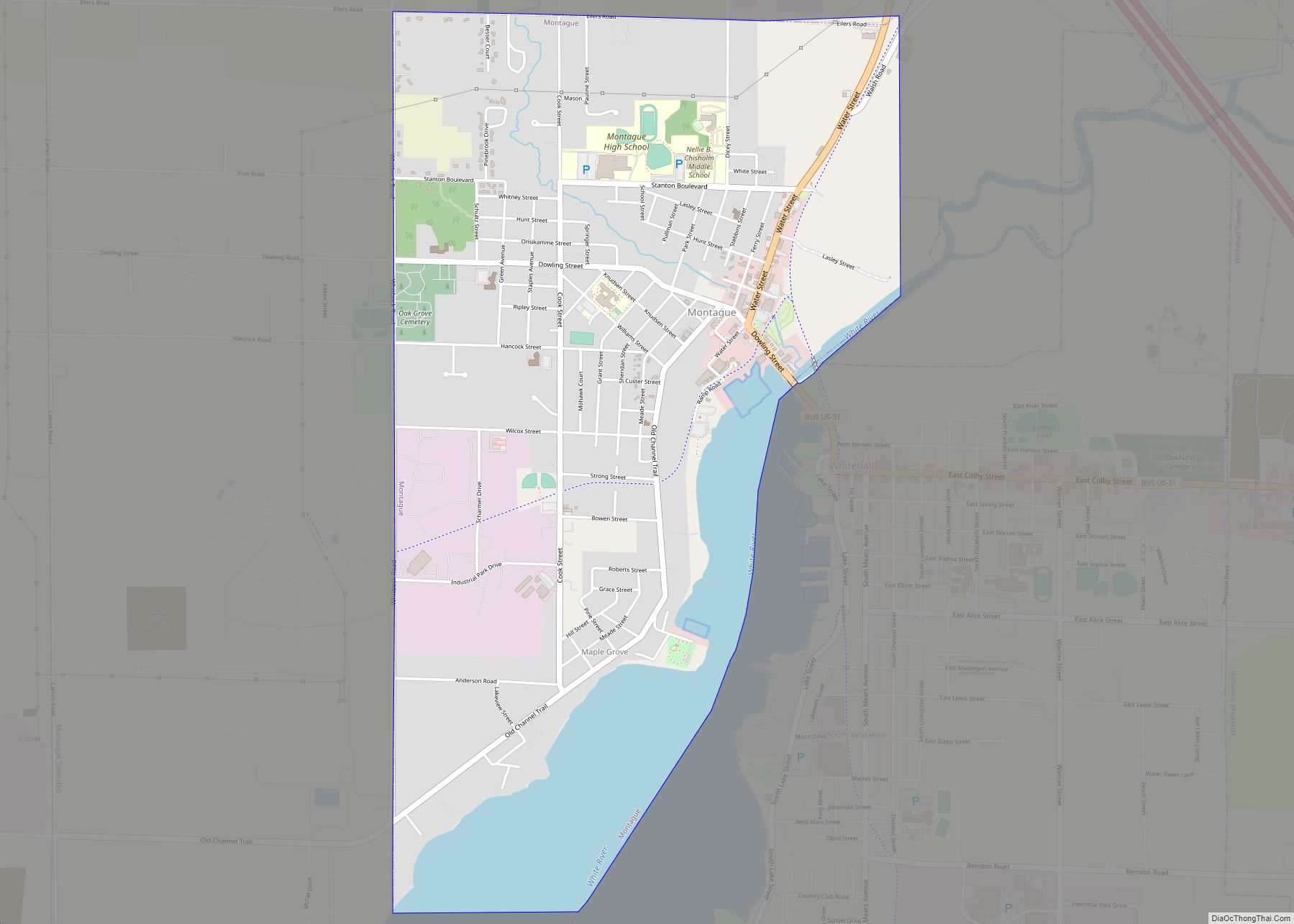
Whitehall Road Map
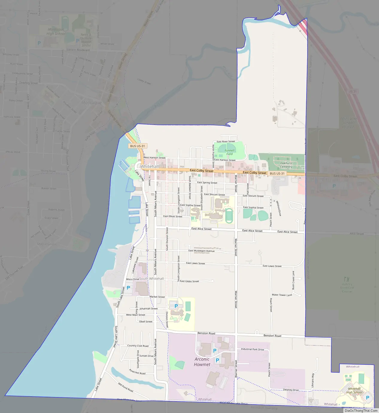
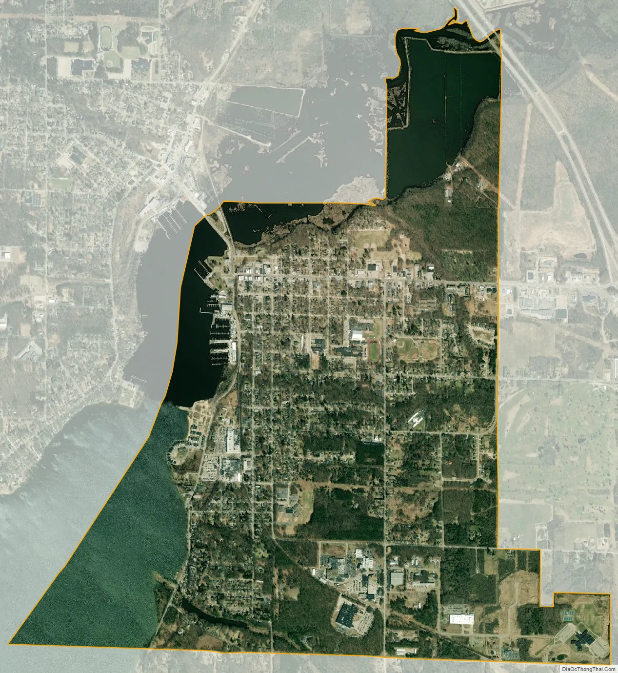
Whitehall city Satellite Map
Geography
The town is located about 5 miles (8.0 km) from Lake Michigan. White Lake is now connected to Lake Michigan by a dredged canal.
According to the United States Census Bureau, the city has a total area of 3.79 square miles (9.82 km), of which 3.12 square miles (8.08 km) is land and 0.67 square miles (1.74 km) is water.
White River runs between the cities of Whitehall and Montague. The White River is nearly twenty-four miles in length and passes through White Lake before emptying into Lake Michigan. In 1675, Father Pere Marquette stopped in the area and learned that the Native Americans called the stream “Wabish-Sippe,” meaning the river with white clay in the water, which gave rise to the names of White River and White Lake.
See also
Map of Michigan State and its subdivision:- Alcona
- Alger
- Allegan
- Alpena
- Antrim
- Arenac
- Baraga
- Barry
- Bay
- Benzie
- Berrien
- Branch
- Calhoun
- Cass
- Charlevoix
- Cheboygan
- Chippewa
- Clare
- Clinton
- Crawford
- Delta
- Dickinson
- Eaton
- Emmet
- Genesee
- Gladwin
- Gogebic
- Grand Traverse
- Gratiot
- Hillsdale
- Houghton
- Huron
- Ingham
- Ionia
- Iosco
- Iron
- Isabella
- Jackson
- Kalamazoo
- Kalkaska
- Kent
- Keweenaw
- Lake
- Lake Hurron
- Lake Michigan
- Lake St. Clair
- Lake Superior
- Lapeer
- Leelanau
- Lenawee
- Livingston
- Luce
- Mackinac
- Macomb
- Manistee
- Marquette
- Mason
- Mecosta
- Menominee
- Midland
- Missaukee
- Monroe
- Montcalm
- Montmorency
- Muskegon
- Newaygo
- Oakland
- Oceana
- Ogemaw
- Ontonagon
- Osceola
- Oscoda
- Otsego
- Ottawa
- Presque Isle
- Roscommon
- Saginaw
- Saint Clair
- Saint Joseph
- Sanilac
- Schoolcraft
- Shiawassee
- Tuscola
- Van Buren
- Washtenaw
- Wayne
- Wexford
- Alabama
- Alaska
- Arizona
- Arkansas
- California
- Colorado
- Connecticut
- Delaware
- District of Columbia
- Florida
- Georgia
- Hawaii
- Idaho
- Illinois
- Indiana
- Iowa
- Kansas
- Kentucky
- Louisiana
- Maine
- Maryland
- Massachusetts
- Michigan
- Minnesota
- Mississippi
- Missouri
- Montana
- Nebraska
- Nevada
- New Hampshire
- New Jersey
- New Mexico
- New York
- North Carolina
- North Dakota
- Ohio
- Oklahoma
- Oregon
- Pennsylvania
- Rhode Island
- South Carolina
- South Dakota
- Tennessee
- Texas
- Utah
- Vermont
- Virginia
- Washington
- West Virginia
- Wisconsin
- Wyoming