Wolverine Lake is a village in Oakland County in the U.S. state of Michigan. The population was 4,312 at the 2010 census. The village is located within Commerce Township.
| Name: | Wolverine Lake village |
|---|---|
| LSAD Code: | 47 |
| LSAD Description: | village (suffix) |
| State: | Michigan |
| County: | Oakland County |
| Incorporated: | 1954 |
| Elevation: | 932 ft (284 m) |
| Land Area: | 1.26 sq mi (3.26 km²) |
| Water Area: | 0.42 sq mi (1.09 km²) |
| Population Density: | 3,612.08/sq mi (1,394.82/km²) |
| Area code: | 248 and 947 |
| FIPS code: | 2688260 |
| GNISfeature ID: | 1616717 |
Online Interactive Map
Click on ![]() to view map in "full screen" mode.
to view map in "full screen" mode.
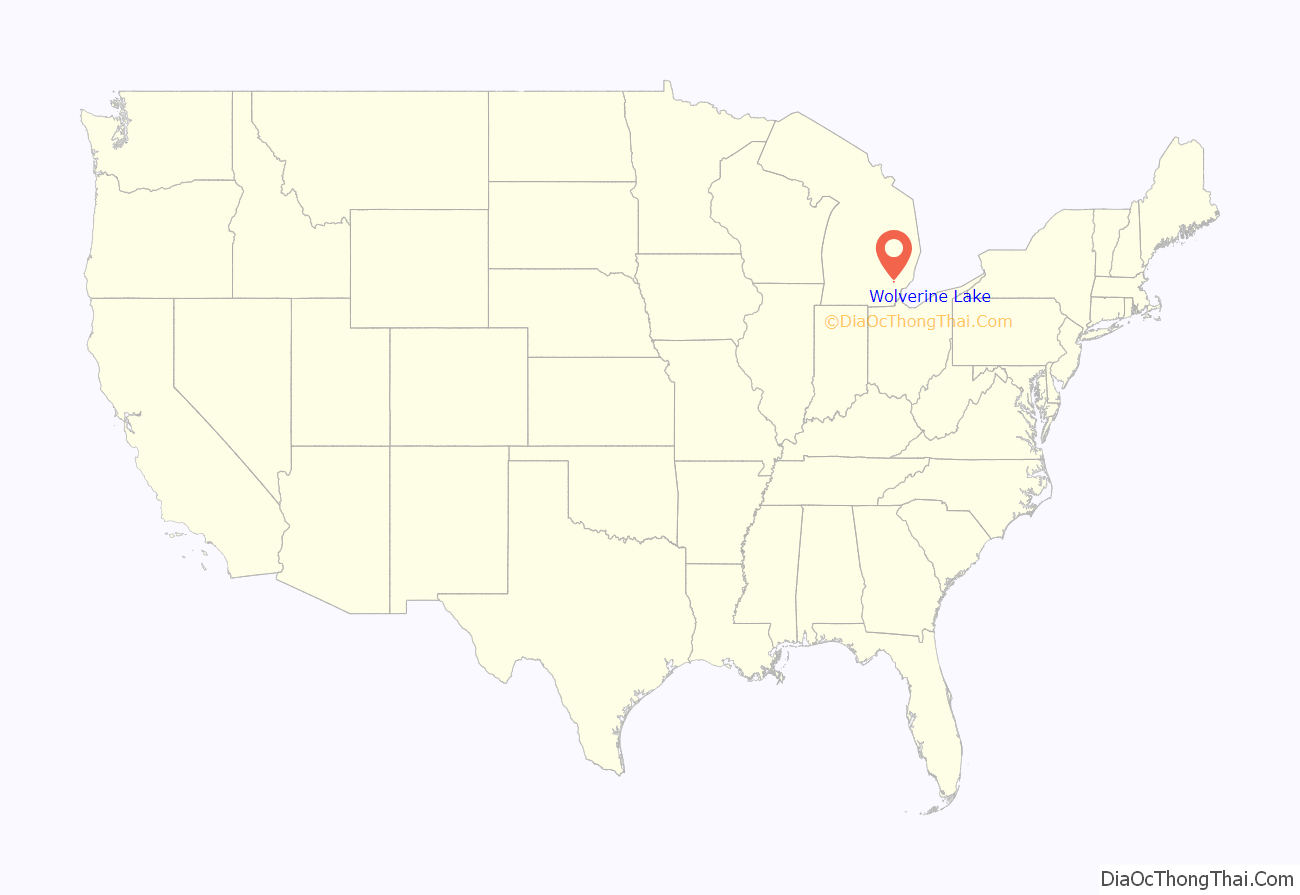
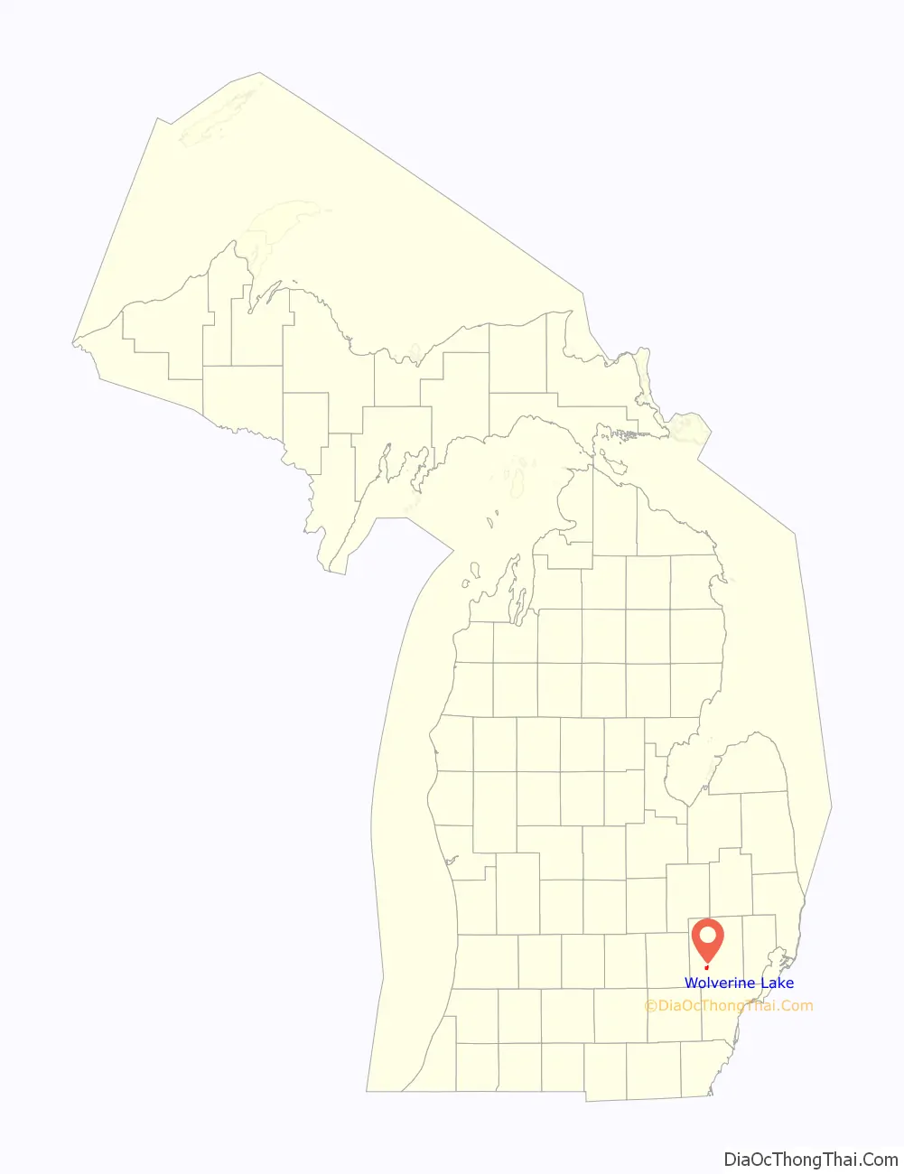
Wolverine Lake location map. Where is Wolverine Lake village?
History
Before 1918, Howard Stuart and L. A. Green proposed the idea of damming several small streams in order to create a larger lake. The project was completed in March 1923, and the growing community was petitioned to be named Wolverine Lake by the end of the year. The name was chosen after the wolverine, which is the state animal. Wolverine Lake incorporated as a village in 1954.
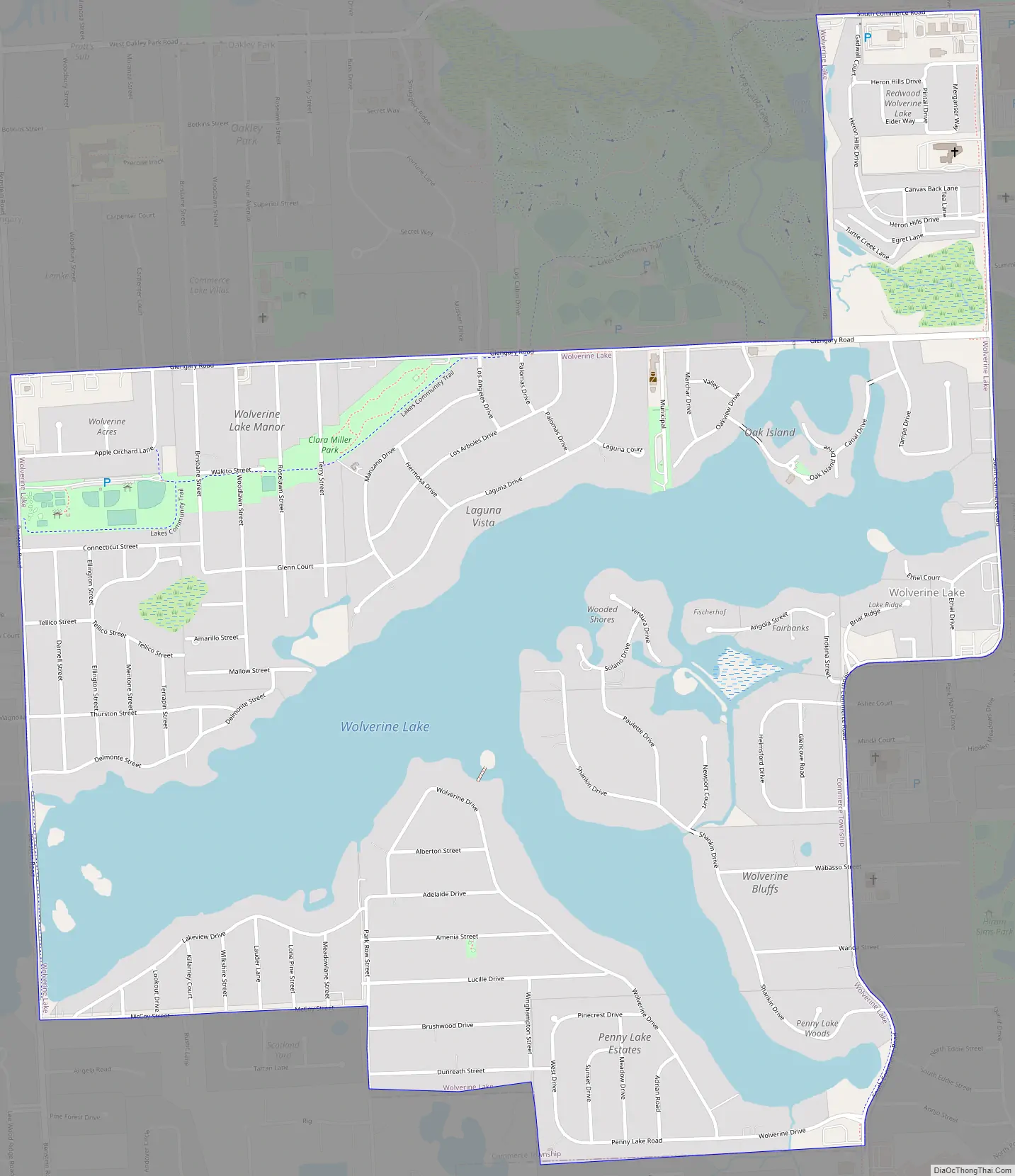
Wolverine Lake Road Map
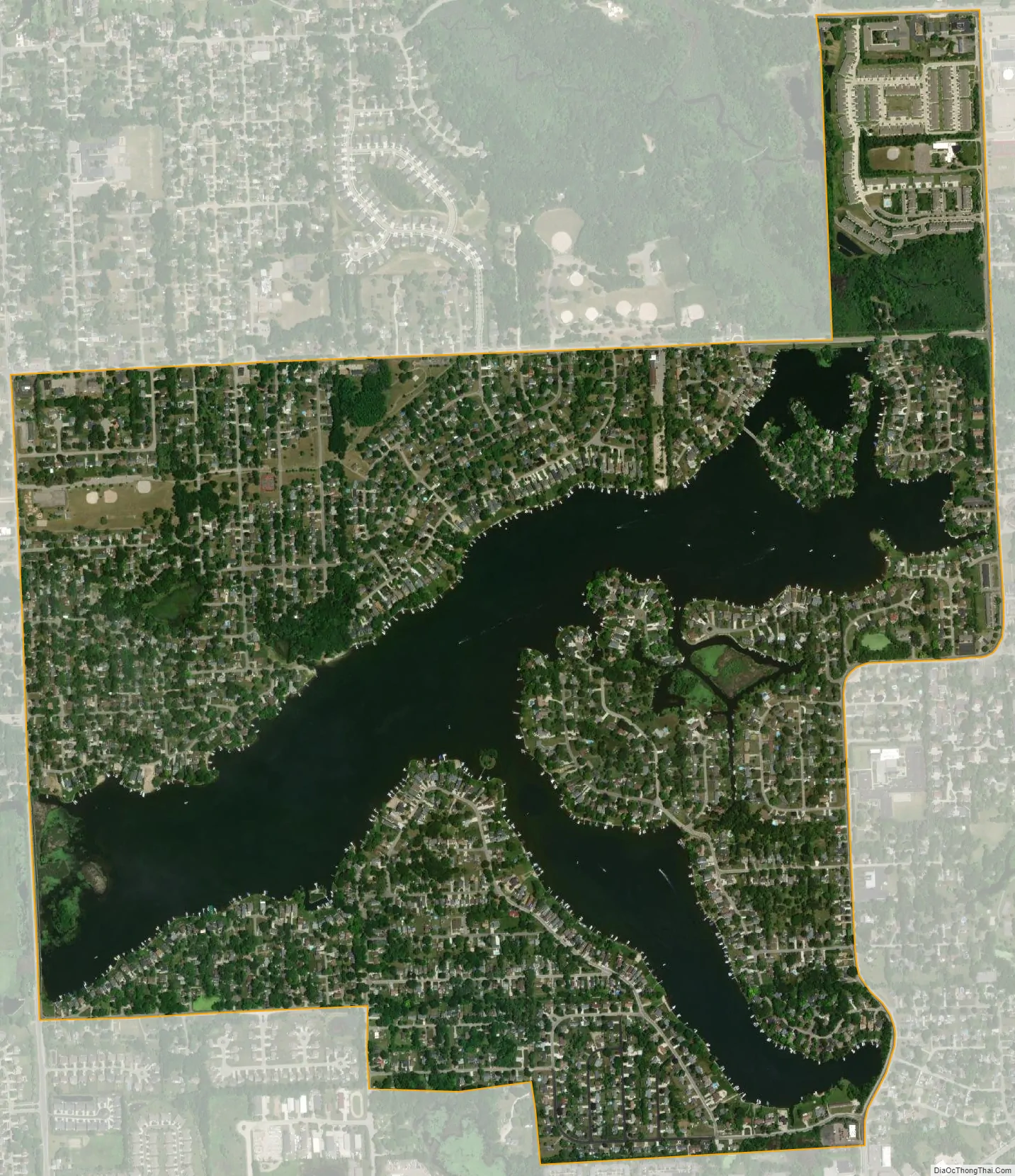
Wolverine Lake city Satellite Map
Geography
According to the U.S. Census Bureau, the village has a total area of 1.68 square miles (4.35 km), of which 1.26 square miles (3.26 km) is land and 0.42 square miles (1.09 km) (25.0%) is water.
See also
Map of Michigan State and its subdivision:- Alcona
- Alger
- Allegan
- Alpena
- Antrim
- Arenac
- Baraga
- Barry
- Bay
- Benzie
- Berrien
- Branch
- Calhoun
- Cass
- Charlevoix
- Cheboygan
- Chippewa
- Clare
- Clinton
- Crawford
- Delta
- Dickinson
- Eaton
- Emmet
- Genesee
- Gladwin
- Gogebic
- Grand Traverse
- Gratiot
- Hillsdale
- Houghton
- Huron
- Ingham
- Ionia
- Iosco
- Iron
- Isabella
- Jackson
- Kalamazoo
- Kalkaska
- Kent
- Keweenaw
- Lake
- Lake Hurron
- Lake Michigan
- Lake St. Clair
- Lake Superior
- Lapeer
- Leelanau
- Lenawee
- Livingston
- Luce
- Mackinac
- Macomb
- Manistee
- Marquette
- Mason
- Mecosta
- Menominee
- Midland
- Missaukee
- Monroe
- Montcalm
- Montmorency
- Muskegon
- Newaygo
- Oakland
- Oceana
- Ogemaw
- Ontonagon
- Osceola
- Oscoda
- Otsego
- Ottawa
- Presque Isle
- Roscommon
- Saginaw
- Saint Clair
- Saint Joseph
- Sanilac
- Schoolcraft
- Shiawassee
- Tuscola
- Van Buren
- Washtenaw
- Wayne
- Wexford
- Alabama
- Alaska
- Arizona
- Arkansas
- California
- Colorado
- Connecticut
- Delaware
- District of Columbia
- Florida
- Georgia
- Hawaii
- Idaho
- Illinois
- Indiana
- Iowa
- Kansas
- Kentucky
- Louisiana
- Maine
- Maryland
- Massachusetts
- Michigan
- Minnesota
- Mississippi
- Missouri
- Montana
- Nebraska
- Nevada
- New Hampshire
- New Jersey
- New Mexico
- New York
- North Carolina
- North Dakota
- Ohio
- Oklahoma
- Oregon
- Pennsylvania
- Rhode Island
- South Carolina
- South Dakota
- Tennessee
- Texas
- Utah
- Vermont
- Virginia
- Washington
- West Virginia
- Wisconsin
- Wyoming


