Woodland Beach is a census-designated place (CDP) and unincorporated community in Monroe County in the U.S. state of Michigan. The population was 1,899 at the 2020 census. The CDP is located within Frenchtown Charter Township.
Woodland Beach and its surrounding communities are served by Jefferson Schools.
| Name: | Woodland Beach CDP |
|---|---|
| LSAD Code: | 57 |
| LSAD Description: | CDP (suffix) |
| State: | Michigan |
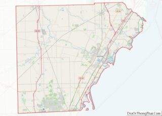
| County: | Monroe County |
| Elevation: | 577 ft (176 m) |
| Total Area: | 0.53 sq mi (1.36 km²) |
| Land Area: | 0.52 sq mi (1.35 km²) |
| Water Area: | 0.01 sq mi (0.01 km²) |
| Total Population: | 1,899 |
| Population Density: | 3,651.92/sq mi (1,410.54/km²) |
| Area code: | 734 |
| FIPS code: | 2688480 |
| GNISfeature ID: | 1616752 |
Online Interactive Map
Click on ![]() to view map in "full screen" mode.
to view map in "full screen" mode.
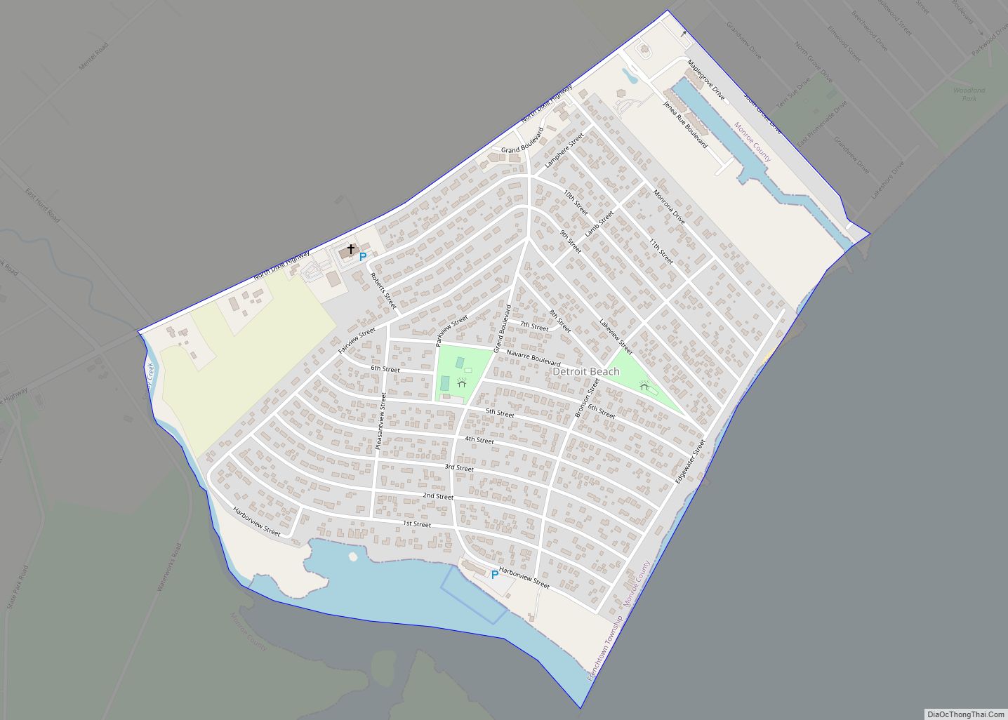
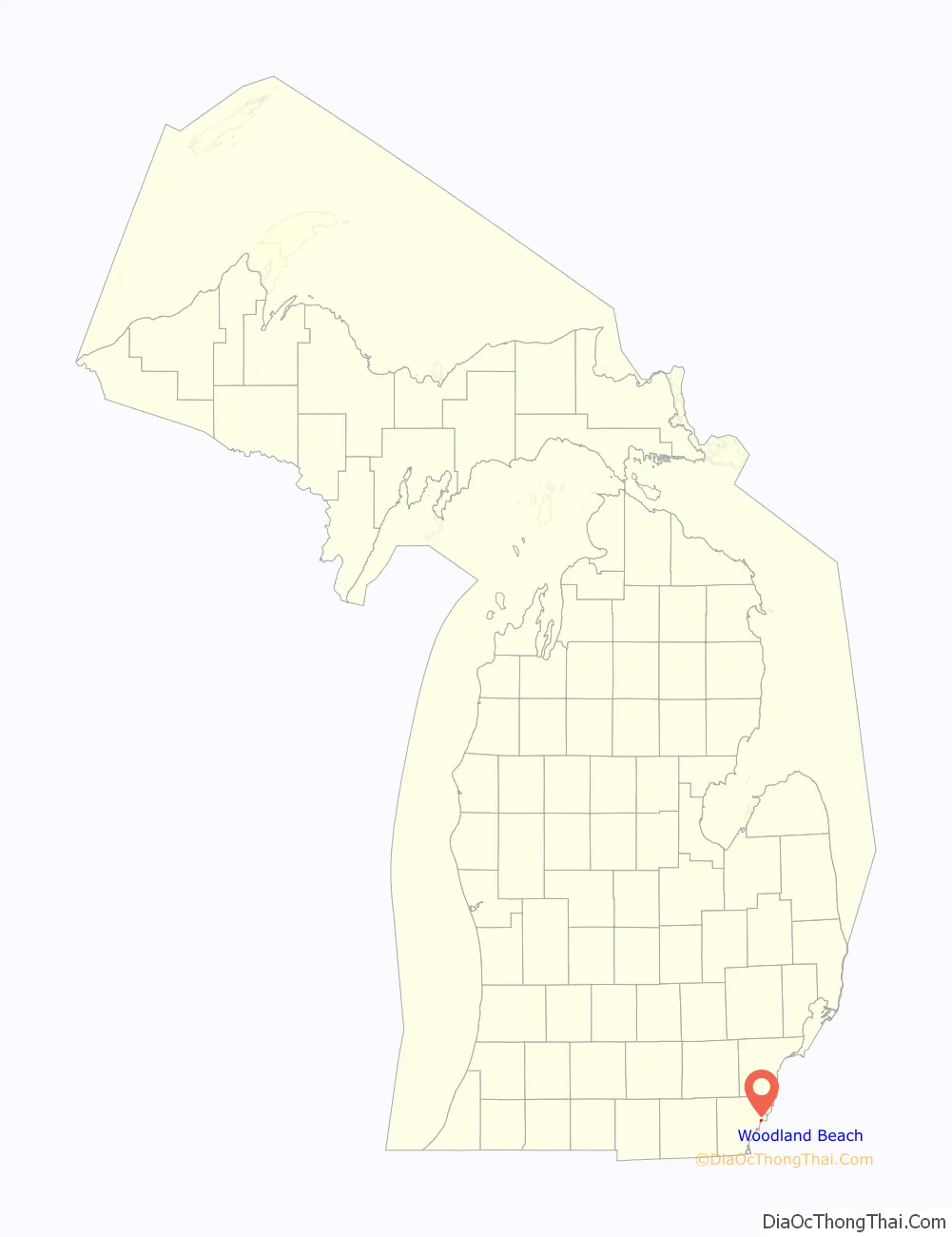
Woodland Beach location map. Where is Woodland Beach CDP?

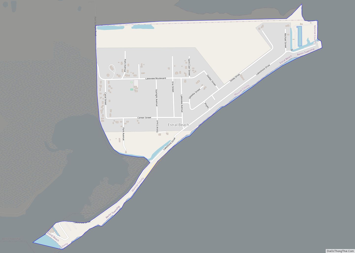
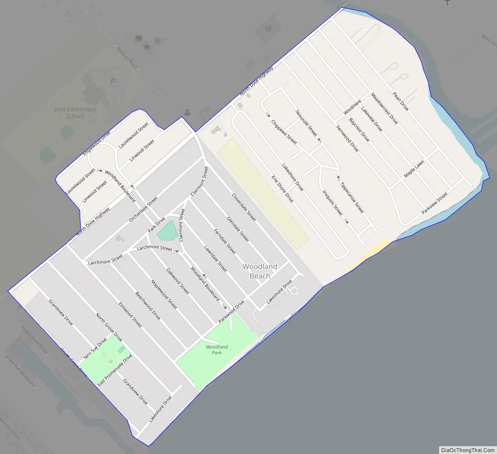
Woodland Beach Road Map
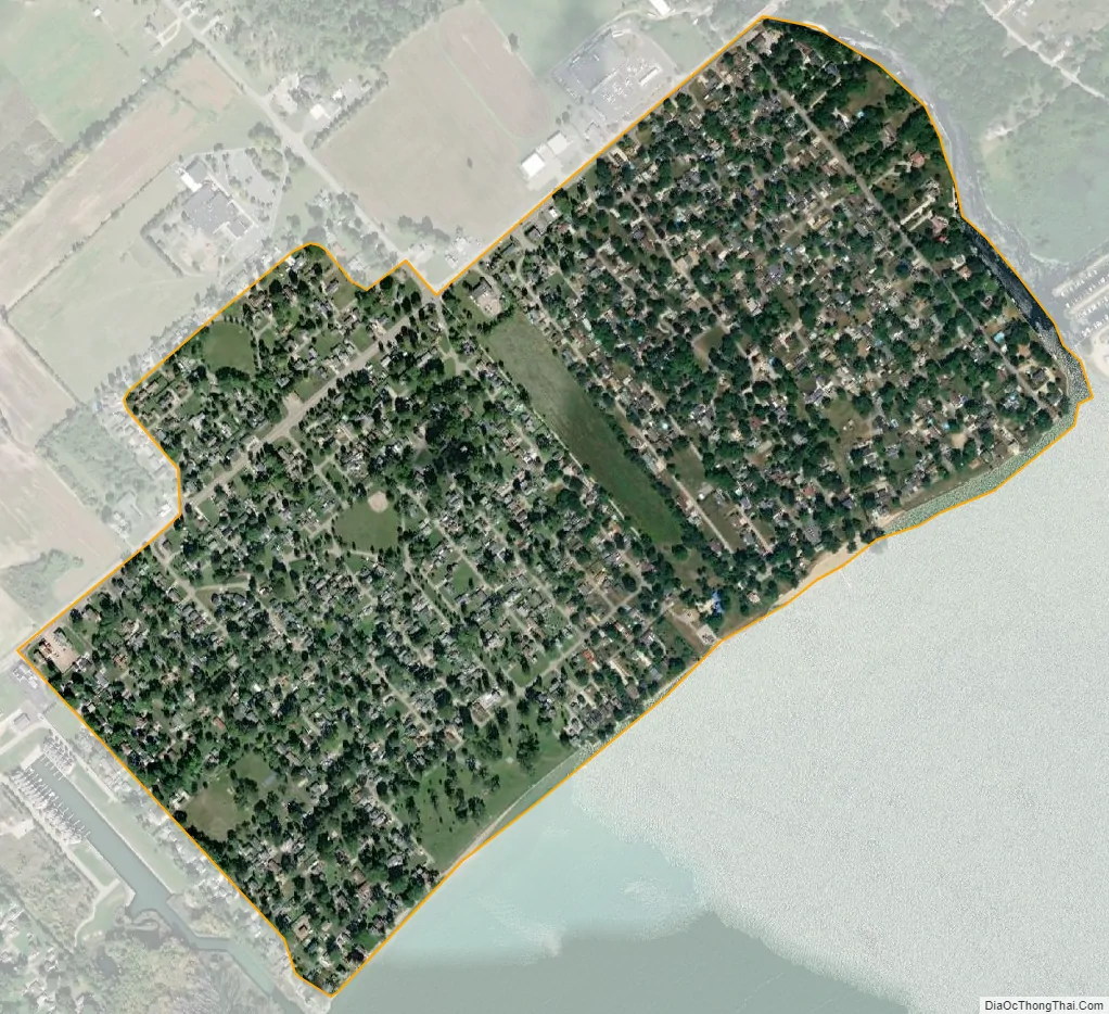
Woodland Beach city Satellite Map
Geography
According to the U.S. Census Bureau, the CDP has a total area of 0.53 square miles (1.37 km), of which 0.52 square miles (1.35 km) is land and 0.01 square miles (0.03 km) (1.89%) is water.
The CDP includes several lakefront community along the shores of Lake Erie, about 4.0 miles (6.4 km) northeast of the city of Monroe. The communities include Erie Shores, Grand Beach, Indian Trails, and Woodland Beach. The CDP stretches from South Grove Drive on the south to Stony Creek on the north. The majority of the CDP lies southeast of North Dixie Highway with a small portion of the Woodland Beach community extending northwest of North Dixie Highway. The CDP of Detroit Beach is adjacent to the southwest, and the CDP of Stony Point is about 3.0 miles (4.8 km) to the east.
The community was named for its wooded location and beachfront on Lake Erie.
See also
Map of Michigan State and its subdivision:- Alcona
- Alger
- Allegan
- Alpena
- Antrim
- Arenac
- Baraga
- Barry
- Bay
- Benzie
- Berrien
- Branch
- Calhoun
- Cass
- Charlevoix
- Cheboygan
- Chippewa
- Clare
- Clinton
- Crawford
- Delta
- Dickinson
- Eaton
- Emmet
- Genesee
- Gladwin
- Gogebic
- Grand Traverse
- Gratiot
- Hillsdale
- Houghton
- Huron
- Ingham
- Ionia
- Iosco
- Iron
- Isabella
- Jackson
- Kalamazoo
- Kalkaska
- Kent
- Keweenaw
- Lake
- Lake Hurron
- Lake Michigan
- Lake St. Clair
- Lake Superior
- Lapeer
- Leelanau
- Lenawee
- Livingston
- Luce
- Mackinac
- Macomb
- Manistee
- Marquette
- Mason
- Mecosta
- Menominee
- Midland
- Missaukee
- Monroe
- Montcalm
- Montmorency
- Muskegon
- Newaygo
- Oakland
- Oceana
- Ogemaw
- Ontonagon
- Osceola
- Oscoda
- Otsego
- Ottawa
- Presque Isle
- Roscommon
- Saginaw
- Saint Clair
- Saint Joseph
- Sanilac
- Schoolcraft
- Shiawassee
- Tuscola
- Van Buren
- Washtenaw
- Wayne
- Wexford
- Alabama
- Alaska
- Arizona
- Arkansas
- California
- Colorado
- Connecticut
- Delaware
- District of Columbia
- Florida
- Georgia
- Hawaii
- Idaho
- Illinois
- Indiana
- Iowa
- Kansas
- Kentucky
- Louisiana
- Maine
- Maryland
- Massachusetts
- Michigan
- Minnesota
- Mississippi
- Missouri
- Montana
- Nebraska
- Nevada
- New Hampshire
- New Jersey
- New Mexico
- New York
- North Carolina
- North Dakota
- Ohio
- Oklahoma
- Oregon
- Pennsylvania
- Rhode Island
- South Carolina
- South Dakota
- Tennessee
- Texas
- Utah
- Vermont
- Virginia
- Washington
- West Virginia
- Wisconsin
- Wyoming