South St. Paul is a city in Dakota County, Minnesota, United States, immediately south and southeast of St. Paul and east of West St. Paul. The population was 20,759 at the 2020 census. The town was a major meat-packing location, and many residents are descended from immigrants of Southern European and Eastern European heritage, who came to work in the meat-packing plants in the early twentieth century.
A post office called “South St. Paul” has been in operation since 1888. The city was named based on its location, south of St. Paul.
| Name: | South St. Paul city |
|---|---|
| LSAD Code: | 25 |
| LSAD Description: | city (suffix) |
| State: | Minnesota |
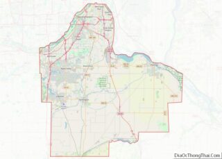
| County: | Dakota County |
| Incorporated: | March 2, 1887 |
| Elevation: | 719 ft (219 m) |
| Total Area: | 6.07 sq mi (15.73 km²) |
| Land Area: | 5.63 sq mi (14.57 km²) |
| Water Area: | 0.45 sq mi (1.16 km²) |
| Total Population: | 20,759 |
| Population Density: | 3,690.49/sq mi (1,424.98/km²) |
| ZIP code: | 55075, 55076 |
| Area code: | 651 |
| FIPS code: | 2761492 |
| GNISfeature ID: | 0652339 |
| Website: | southstpaul.org |
Online Interactive Map
Click on ![]() to view map in "full screen" mode.
to view map in "full screen" mode.
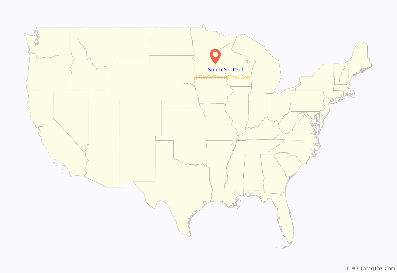
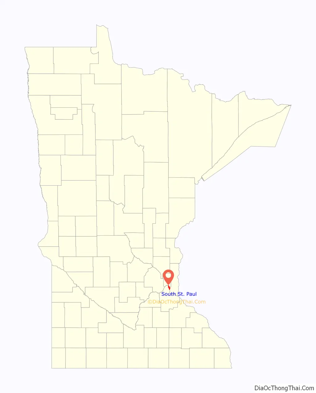
South St. Paul location map. Where is South St. Paul city?
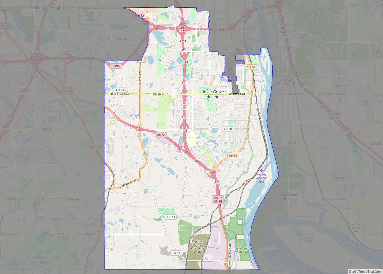
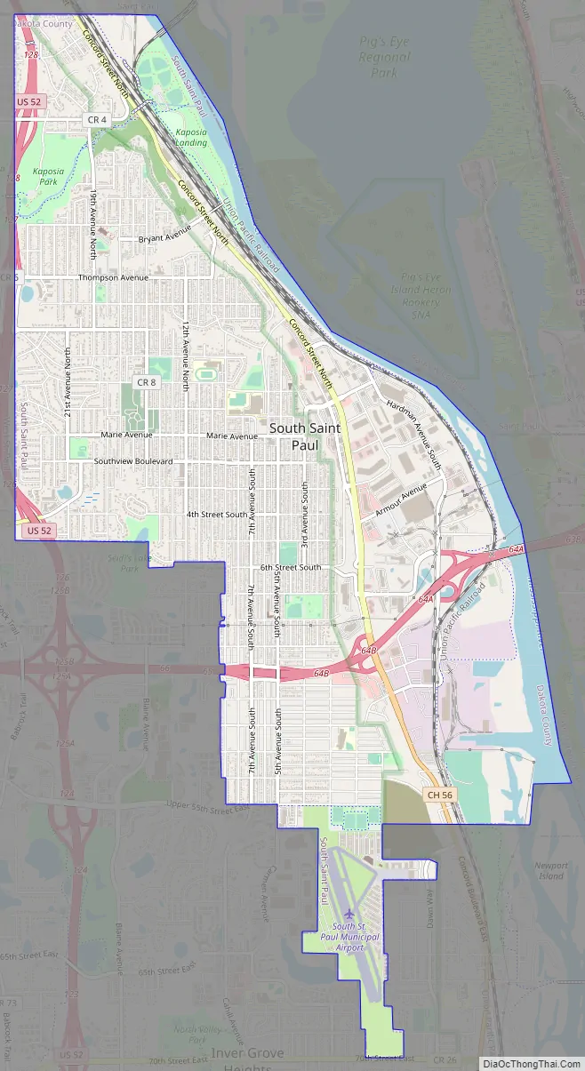
South St. Paul Road Map
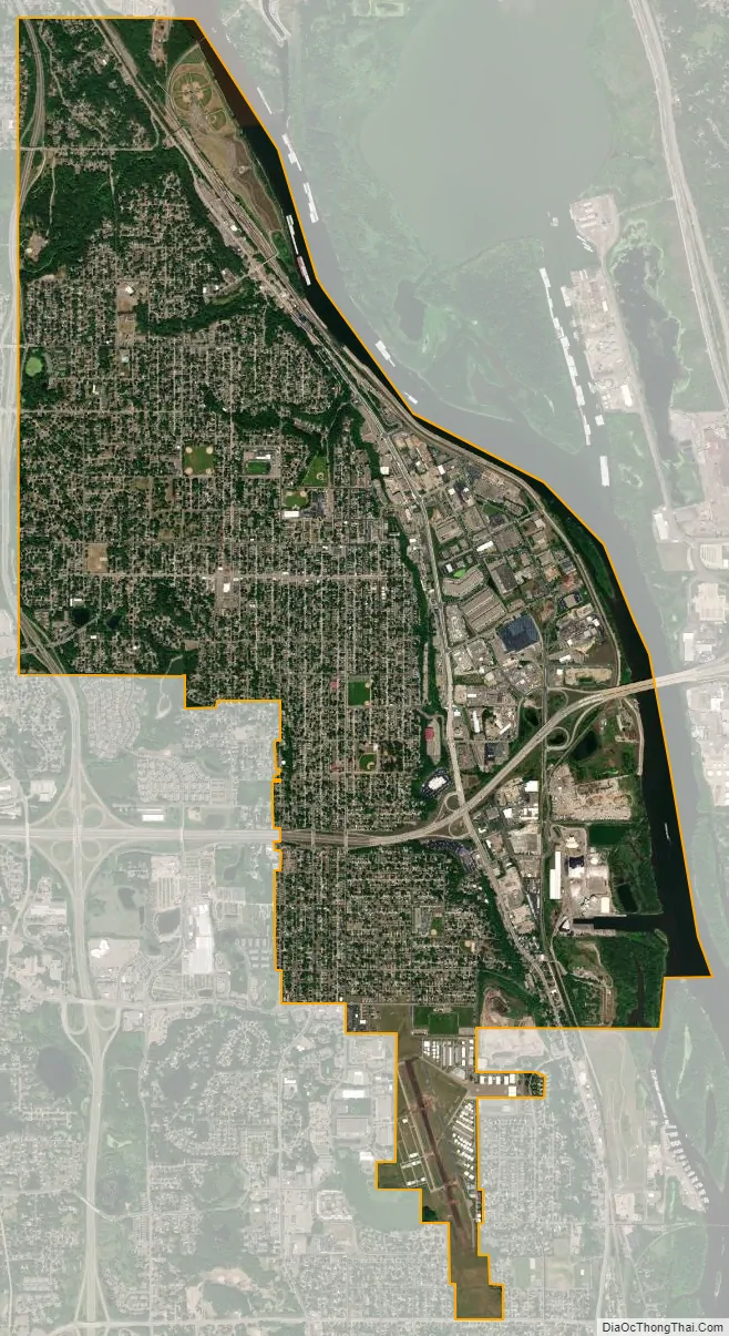
South St. Paul city Satellite Map
Geography
According to the United States Census Bureau, the city has an area of 6.073 square miles (15.73 km), of which 5.625 square miles (14.57 km) is land, and 0.448 square miles (1.16 km) is water.
Interstate Highway 494, U.S. Highway 52, and Dakota County Road 56 are three of the major routes that traverse South St. Paul. It is home to a small general aviation airport, Fleming Field.
The main industry historically was the Saint Paul Union Stockyards. The two largest companies and employers in the town during the time of peak stockyard operations were Swift’s & Company and Armour Meats.
Since 2008, the stockyards have been closed, and much of the area is now being redeveloped.
See also
Map of Minnesota State and its subdivision:- Aitkin
- Anoka
- Becker
- Beltrami
- Benton
- Big Stone
- Blue Earth
- Brown
- Carlton
- Carver
- Cass
- Chippewa
- Chisago
- Clay
- Clearwater
- Cook
- Cottonwood
- Crow Wing
- Dakota
- Dodge
- Douglas
- Faribault
- Fillmore
- Freeborn
- Goodhue
- Grant
- Hennepin
- Houston
- Hubbard
- Isanti
- Itasca
- Jackson
- Kanabec
- Kandiyohi
- Kittson
- Koochiching
- Lac qui Parle
- Lake
- Lake of the Woods
- Lake Superior
- Le Sueur
- Lincoln
- Lyon
- Mahnomen
- Marshall
- Martin
- McLeod
- Meeker
- Mille Lacs
- Morrison
- Mower
- Murray
- Nicollet
- Nobles
- Norman
- Olmsted
- Otter Tail
- Pennington
- Pine
- Pipestone
- Polk
- Pope
- Ramsey
- Red Lake
- Redwood
- Renville
- Rice
- Rock
- Roseau
- Saint Louis
- Scott
- Sherburne
- Sibley
- Stearns
- Steele
- Stevens
- Swift
- Todd
- Traverse
- Wabasha
- Wadena
- Waseca
- Washington
- Watonwan
- Wilkin
- Winona
- Wright
- Yellow Medicine
- Alabama
- Alaska
- Arizona
- Arkansas
- California
- Colorado
- Connecticut
- Delaware
- District of Columbia
- Florida
- Georgia
- Hawaii
- Idaho
- Illinois
- Indiana
- Iowa
- Kansas
- Kentucky
- Louisiana
- Maine
- Maryland
- Massachusetts
- Michigan
- Minnesota
- Mississippi
- Missouri
- Montana
- Nebraska
- Nevada
- New Hampshire
- New Jersey
- New Mexico
- New York
- North Carolina
- North Dakota
- Ohio
- Oklahoma
- Oregon
- Pennsylvania
- Rhode Island
- South Carolina
- South Dakota
- Tennessee
- Texas
- Utah
- Vermont
- Virginia
- Washington
- West Virginia
- Wisconsin
- Wyoming