West St. Paul is a city in Dakota County, Minnesota, United States. The population was 20,615 at the 2020 census. It is immediately south of Saint Paul and immediately west of South St. Paul.
| Name: | West St. Paul city |
|---|---|
| LSAD Code: | 25 |
| LSAD Description: | city (suffix) |
| State: | Minnesota |
| County: | Dakota County |
| Founded: | 1858 |
| Incorporated: | February 23, 1889 |
| Elevation: | 1,027 ft (313 m) |
| Total Area: | 5.01 sq mi (12.98 km²) |
| Land Area: | 4.91 sq mi (12.71 km²) |
| Water Area: | 0.10 sq mi (0.27 km²) |
| Total Population: | 20,615 |
| Population Density: | 4,200.29/sq mi (1,621.70/km²) |
| ZIP code: | 55118 |
| Area code: | 651 |
| FIPS code: | 2769700 |
| GNISfeature ID: | 654003 |
| Website: | wspmn.gov |
Online Interactive Map
Click on ![]() to view map in "full screen" mode.
to view map in "full screen" mode.
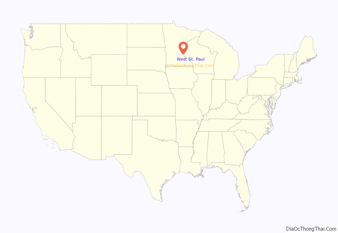
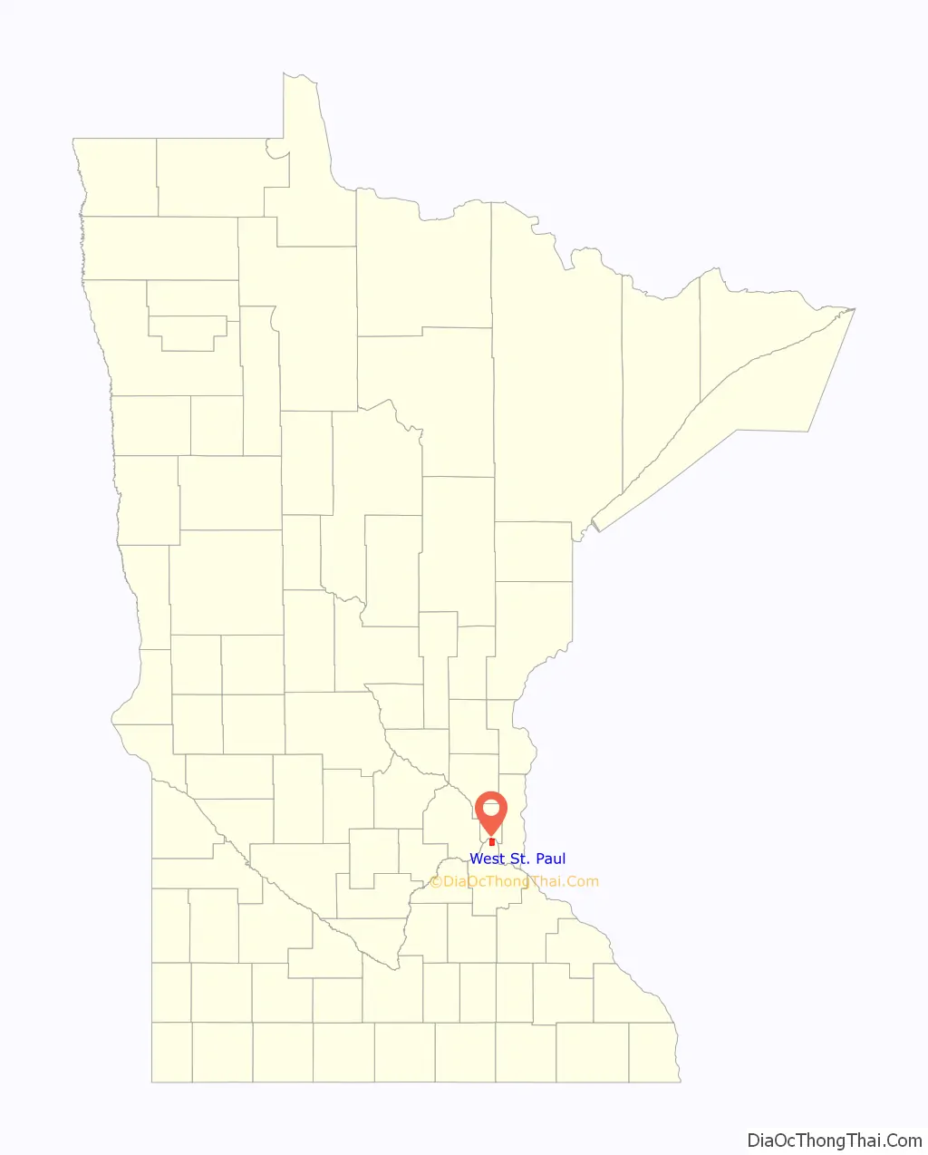
West St. Paul location map. Where is West St. Paul city?
History
The city’s misleading name comes in part from the fact that it lies on the west bank of the predominantly north-to-south Mississippi River. A previous City of West St. Paul, incorporated in the late 19th century, was situated in what is now called Saint Paul’s Lower West Side. According to the West 7th/Fort Road foundation, Saint Paul annexed the West Side, and was incorporated for two reasons: “to aid law enforcement—criminals could escape Saint Paul authorities by crossing to the West Side and Dakota County—and to eliminate the Wabasha Street Bridge tolls which were inhibiting development on the West Side.” The current West St. Paul split from the western half of South St. Paul, and was incorporated in 1889, just south of the city of Saint Paul. The population was 20,615 at the 2020 census, growing by 1,075 since 2010 census. West Saint Paul is known for its 2.5-mile retail strip along Robert Street.
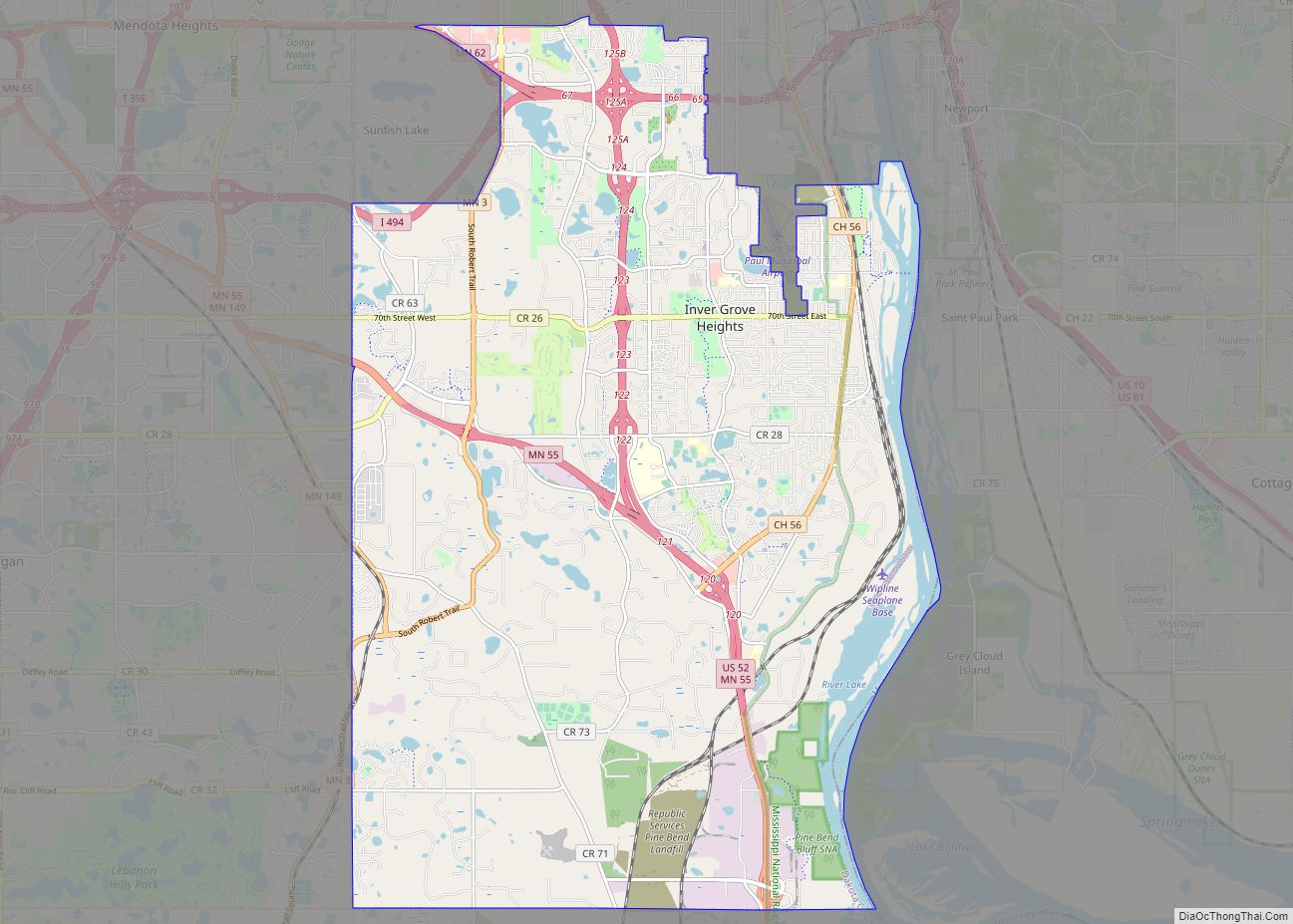
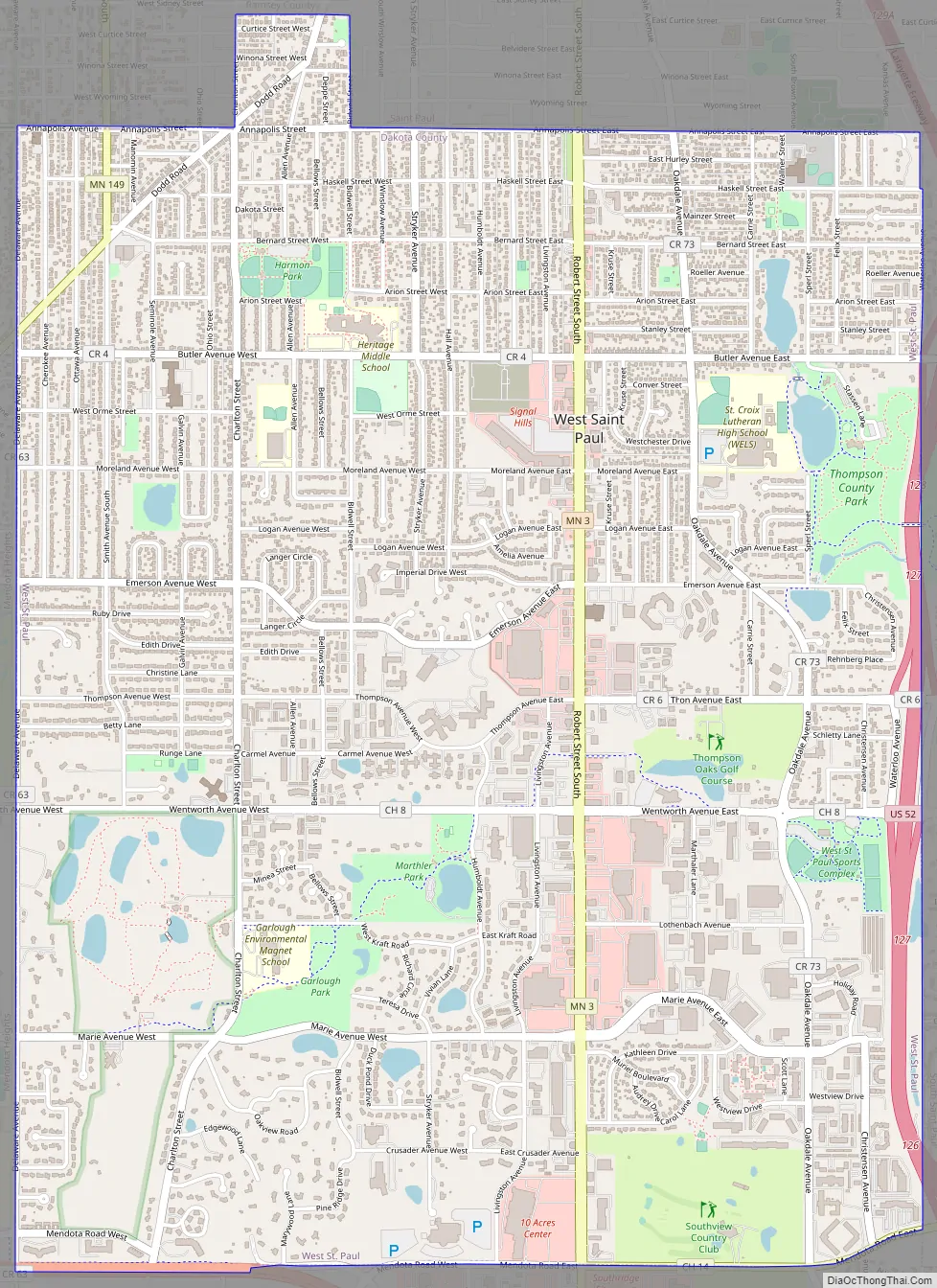
West St. Paul Road Map
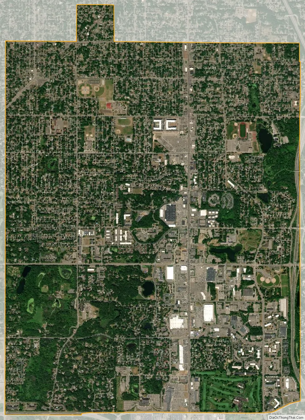
West St. Paul city Satellite Map
Geography
According to the United States Census Bureau, the city has a total area of 5.01 square miles (12.98 km), of which 4.91 square miles (12.72 km) is land and 0.10 square miles (0.26 km) is water.
U.S. Highway 52 (also known as the Lafayette Freeway), Robert Street, and Minnesota Highway 62 are three of West St. Paul’s main routes. Interstate Highway 494 runs just south of the city and Minnesota Highway 3 (unmarked Route 952) runs through the middle of the city and into downtown Saint Paul as Robert Street. Robert Street was named for Captain Louis Robert, a Mississippi River boat captain and early French-Canadian settler of Saint Paul.
See also
Map of Minnesota State and its subdivision:- Aitkin
- Anoka
- Becker
- Beltrami
- Benton
- Big Stone
- Blue Earth
- Brown
- Carlton
- Carver
- Cass
- Chippewa
- Chisago
- Clay
- Clearwater
- Cook
- Cottonwood
- Crow Wing
- Dakota
- Dodge
- Douglas
- Faribault
- Fillmore
- Freeborn
- Goodhue
- Grant
- Hennepin
- Houston
- Hubbard
- Isanti
- Itasca
- Jackson
- Kanabec
- Kandiyohi
- Kittson
- Koochiching
- Lac qui Parle
- Lake
- Lake of the Woods
- Lake Superior
- Le Sueur
- Lincoln
- Lyon
- Mahnomen
- Marshall
- Martin
- McLeod
- Meeker
- Mille Lacs
- Morrison
- Mower
- Murray
- Nicollet
- Nobles
- Norman
- Olmsted
- Otter Tail
- Pennington
- Pine
- Pipestone
- Polk
- Pope
- Ramsey
- Red Lake
- Redwood
- Renville
- Rice
- Rock
- Roseau
- Saint Louis
- Scott
- Sherburne
- Sibley
- Stearns
- Steele
- Stevens
- Swift
- Todd
- Traverse
- Wabasha
- Wadena
- Waseca
- Washington
- Watonwan
- Wilkin
- Winona
- Wright
- Yellow Medicine
- Alabama
- Alaska
- Arizona
- Arkansas
- California
- Colorado
- Connecticut
- Delaware
- District of Columbia
- Florida
- Georgia
- Hawaii
- Idaho
- Illinois
- Indiana
- Iowa
- Kansas
- Kentucky
- Louisiana
- Maine
- Maryland
- Massachusetts
- Michigan
- Minnesota
- Mississippi
- Missouri
- Montana
- Nebraska
- Nevada
- New Hampshire
- New Jersey
- New Mexico
- New York
- North Carolina
- North Dakota
- Ohio
- Oklahoma
- Oregon
- Pennsylvania
- Rhode Island
- South Carolina
- South Dakota
- Tennessee
- Texas
- Utah
- Vermont
- Virginia
- Washington
- West Virginia
- Wisconsin
- Wyoming