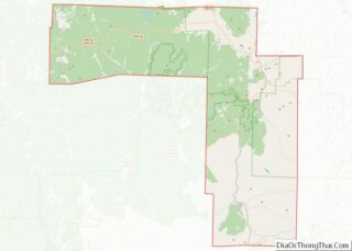
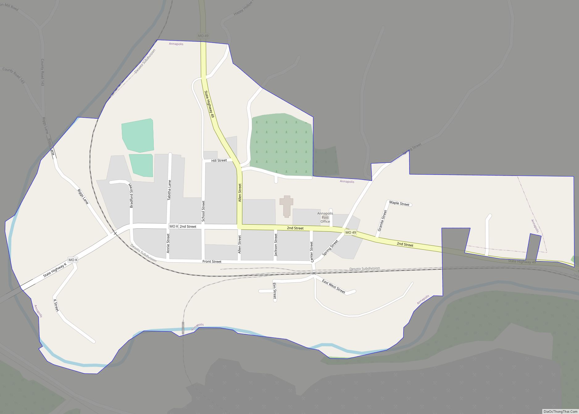
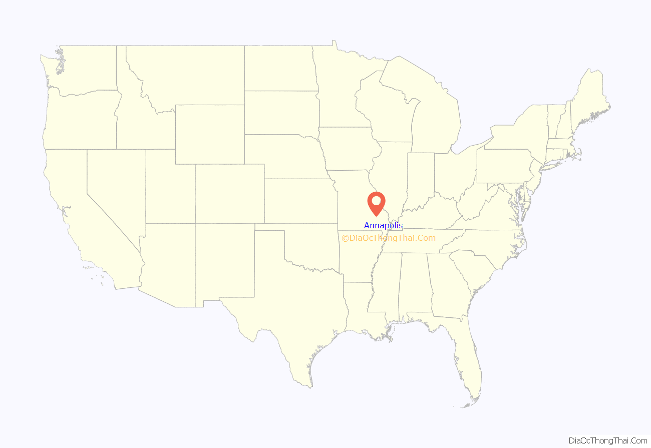
Annapolis is a city located in southern Iron County, Missouri, United States. The population was 250 at the 2020 census.
| Name: | Annapolis city |
|---|---|
| LSAD Code: | 25 |
| LSAD Description: | city (suffix) |
| State: | Missouri |
| County: | Iron County |
| Elevation: | 650 ft (200 m) |
| Total Area: | 0.39 sq mi (1.00 km²) |
| Land Area: | 0.37 sq mi (0.97 km²) |
| Water Area: | 0.01 sq mi (0.03 km²) |
| Total Population: | 250 |
| Population Density: | 668.45/sq mi (258.27/km²) |
| ZIP code: | 63620 |
| Area code: | 573 |
| FIPS code: | 2901270 |
| GNISfeature ID: | 2393963 |
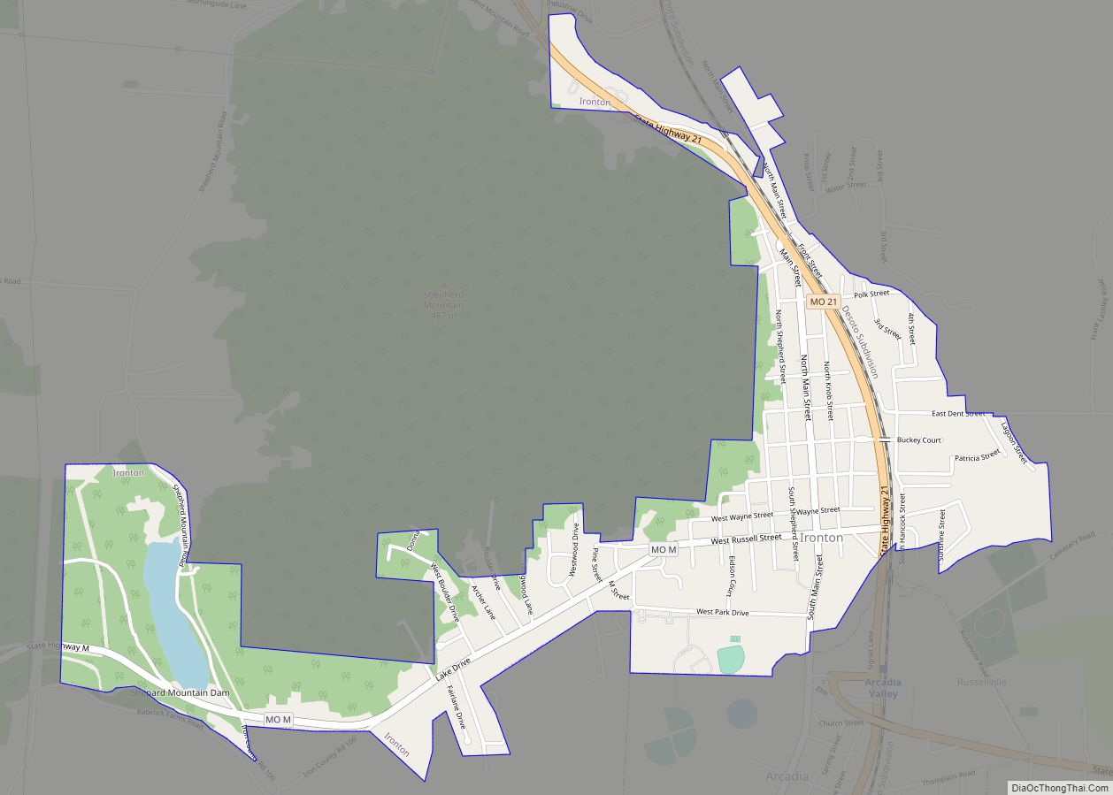
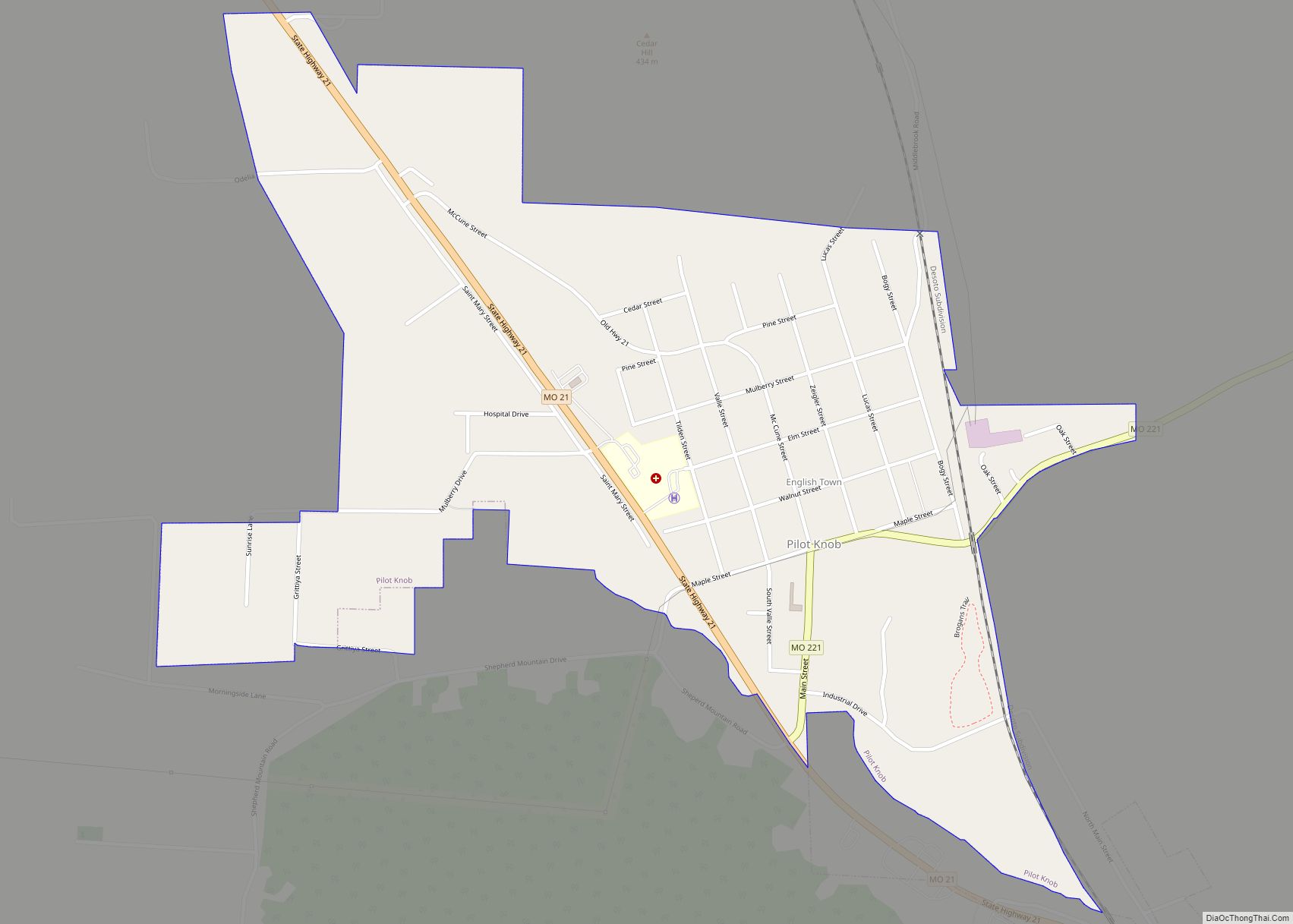
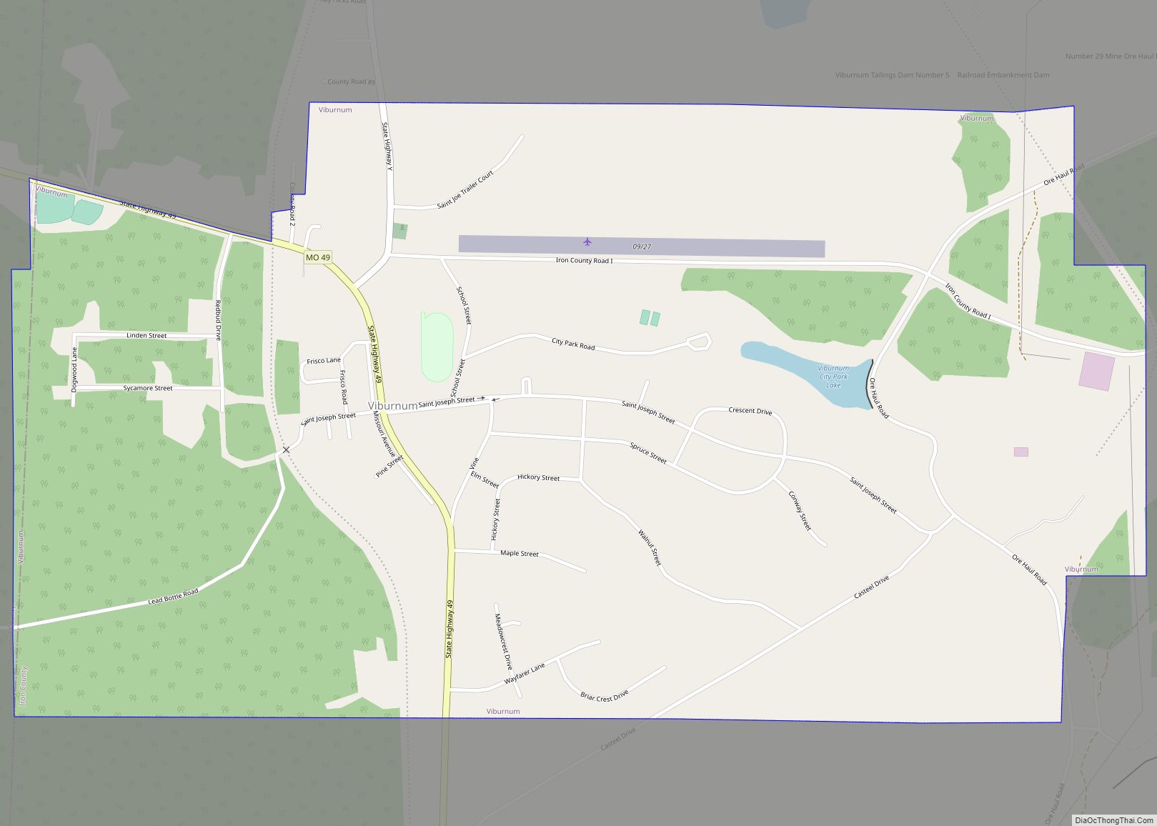
Online Interactive Map
Click on ![]() to view map in "full screen" mode.
to view map in "full screen" mode.
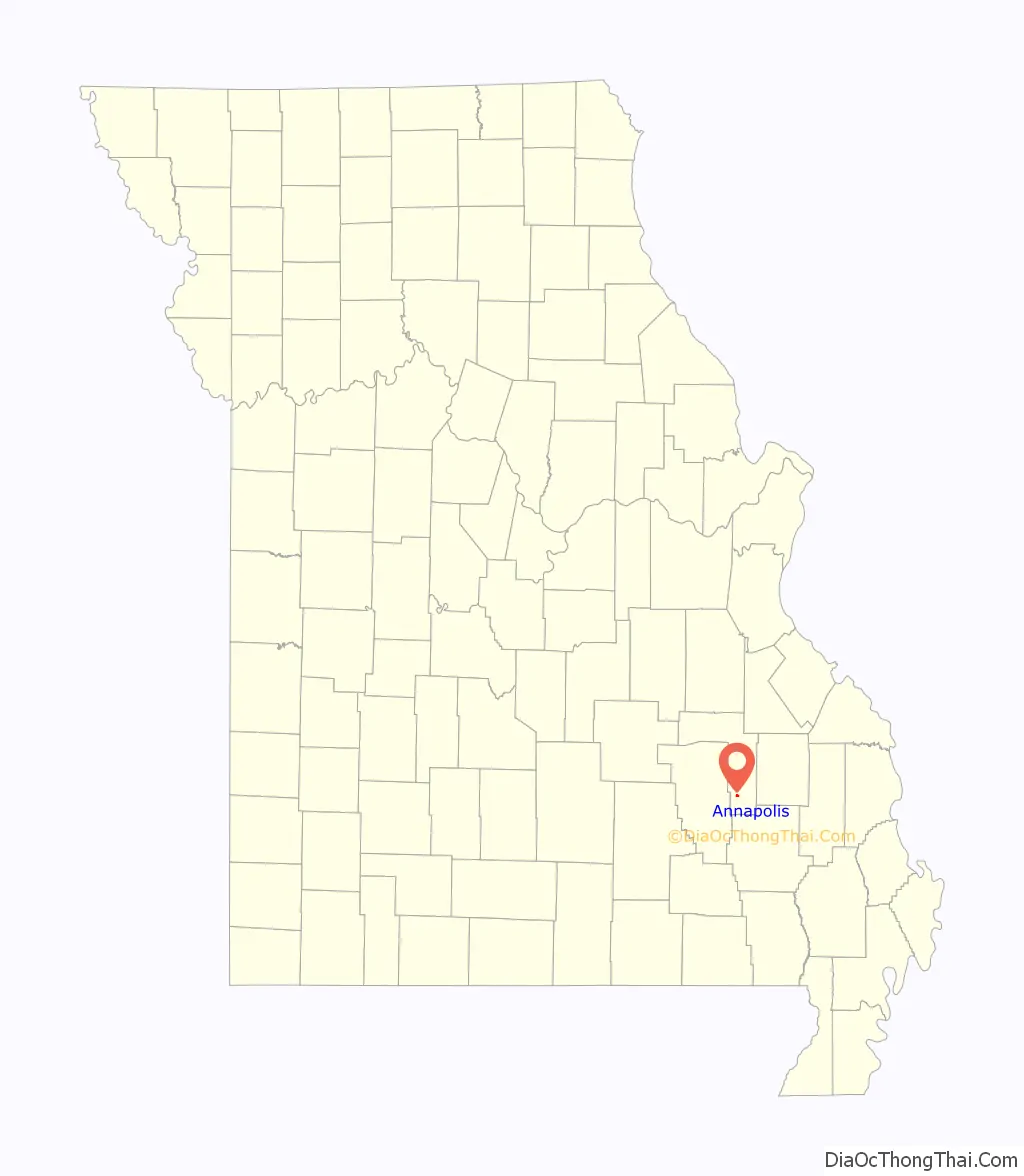
Annapolis location map. Where is Annapolis city?
History
Annapolis was laid out in 1871, and according to tradition, named after Anna Allen, the wife of a railroad official. The name is also said to be a transfer from Annapolis, Maryland. A post office called Annapolis has been in operation since 1871.
Annapolis was destroyed by the Great Tri-State Tornado of 1925.
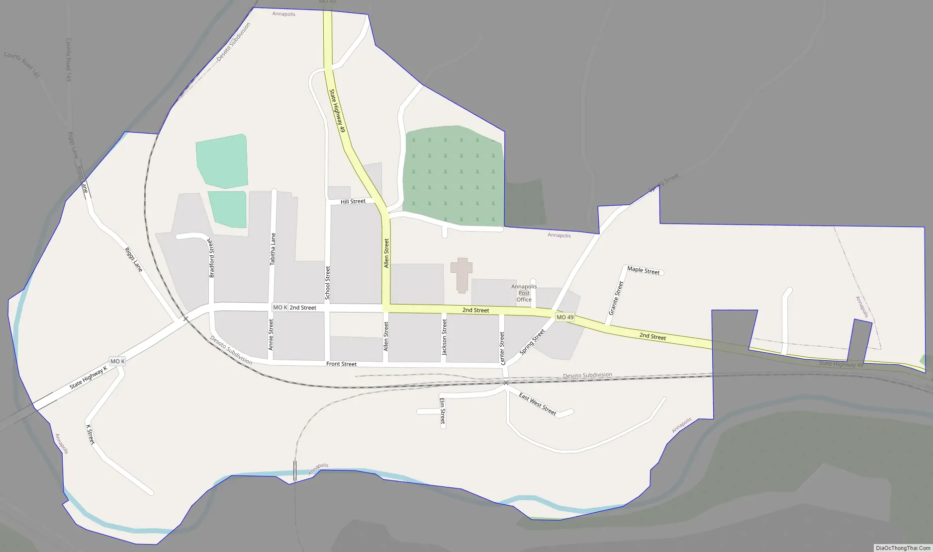
Annapolis Road Map
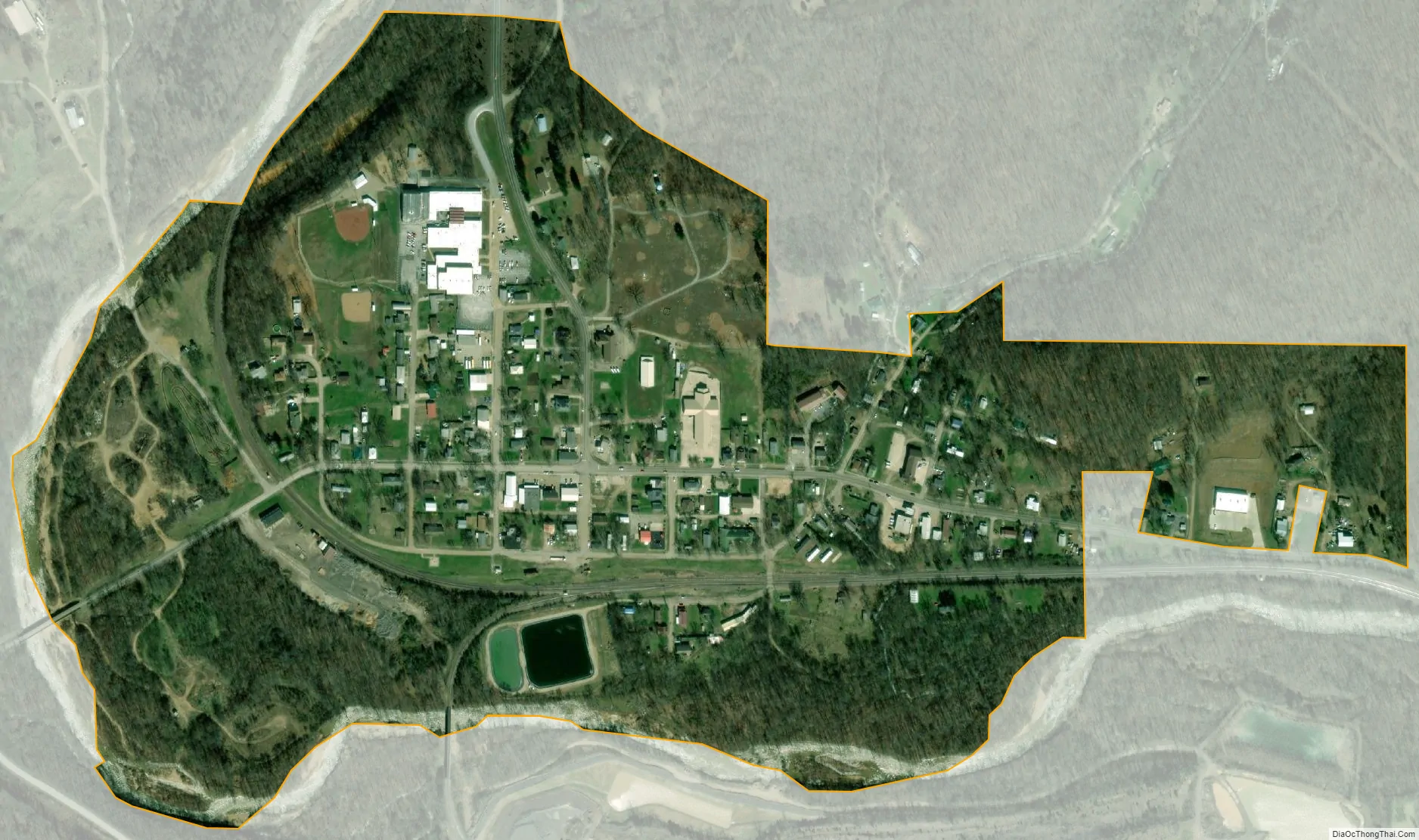
Annapolis city Satellite Map
Geography
Annapolis is located at the intersection of Missouri routes 49 and K between Sabula three miles to he north and Vulcan three and a half miles to the southeast. Big Creek flows past the west side of the community.
According to the United States Census Bureau, the city has a total area of 0.37 square miles (0.96 km), of which 0.36 square miles (0.93 km) is land and 0.01 square miles (0.03 km) is water.
See also
Map of Missouri State and its subdivision:- Adair
- Andrew
- Atchison
- Audrain
- Barry
- Barton
- Bates
- Benton
- Bollinger
- Boone
- Buchanan
- Butler
- Caldwell
- Callaway
- Camden
- Cape Girardeau
- Carroll
- Carter
- Cass
- Cedar
- Chariton
- Christian
- Clark
- Clay
- Clinton
- Cole
- Cooper
- Crawford
- Dade
- Dallas
- Daviess
- De Kalb
- Dent
- Douglas
- Dunklin
- Franklin
- Gasconade
- Gentry
- Greene
- Grundy
- Harrison
- Henry
- Hickory
- Holt
- Howard
- Howell
- Iron
- Jackson
- Jasper
- Jefferson
- Johnson
- Knox
- Laclede
- Lafayette
- Lawrence
- Lewis
- Lincoln
- Linn
- Livingston
- Macon
- Madison
- Maries
- Marion
- McDonald
- Mercer
- Miller
- Mississippi
- Moniteau
- Monroe
- Montgomery
- Morgan
- New Madrid
- Newton
- Nodaway
- Oregon
- Osage
- Ozark
- Pemiscot
- Perry
- Pettis
- Phelps
- Pike
- Platte
- Polk
- Pulaski
- Putnam
- Ralls
- Randolph
- Ray
- Reynolds
- Ripley
- Saint Charles
- Saint Clair
- Saint Francois
- Saint Louis
- Sainte Genevieve
- Saline
- Schuyler
- Scotland
- Scott
- Shannon
- Shelby
- Stoddard
- Stone
- Sullivan
- Taney
- Texas
- Vernon
- Warren
- Washington
- Wayne
- Webster
- Worth
- Wright
- Alabama
- Alaska
- Arizona
- Arkansas
- California
- Colorado
- Connecticut
- Delaware
- District of Columbia
- Florida
- Georgia
- Hawaii
- Idaho
- Illinois
- Indiana
- Iowa
- Kansas
- Kentucky
- Louisiana
- Maine
- Maryland
- Massachusetts
- Michigan
- Minnesota
- Mississippi
- Missouri
- Montana
- Nebraska
- Nevada
- New Hampshire
- New Jersey
- New Mexico
- New York
- North Carolina
- North Dakota
- Ohio
- Oklahoma
- Oregon
- Pennsylvania
- Rhode Island
- South Carolina
- South Dakota
- Tennessee
- Texas
- Utah
- Vermont
- Virginia
- Washington
- West Virginia
- Wisconsin
- Wyoming