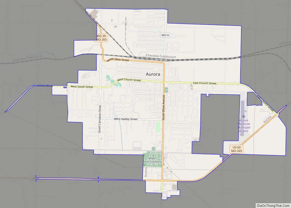
Aurora is a city in Lawrence County, Missouri, United States. As of the 2020 census, the population of the city was 7,432.
| Name: | Aurora city |
|---|---|
| LSAD Code: | 25 |
| LSAD Description: | city (suffix) |
| State: | Missouri |
| County: | Lawrence County |
| Founded: | 1870 |
| Incorporated: | 1885 |
| Elevation: | 1,401 ft (427 m) |
| Total Area: | 6.33 sq mi (16.39 km²) |
| Land Area: | 6.30 sq mi (16.31 km²) |
| Water Area: | 0.03 sq mi (0.08 km²) |
| Total Population: | 7,219 |
| Population Density: | 1,146.42/sq mi (442.64/km²) |
| ZIP code: | 65605 |
| Area code: | 417 |
| FIPS code: | 2902548 |
| GNISfeature ID: | 0713486 |
| Website: | aurora-cityhall.org |
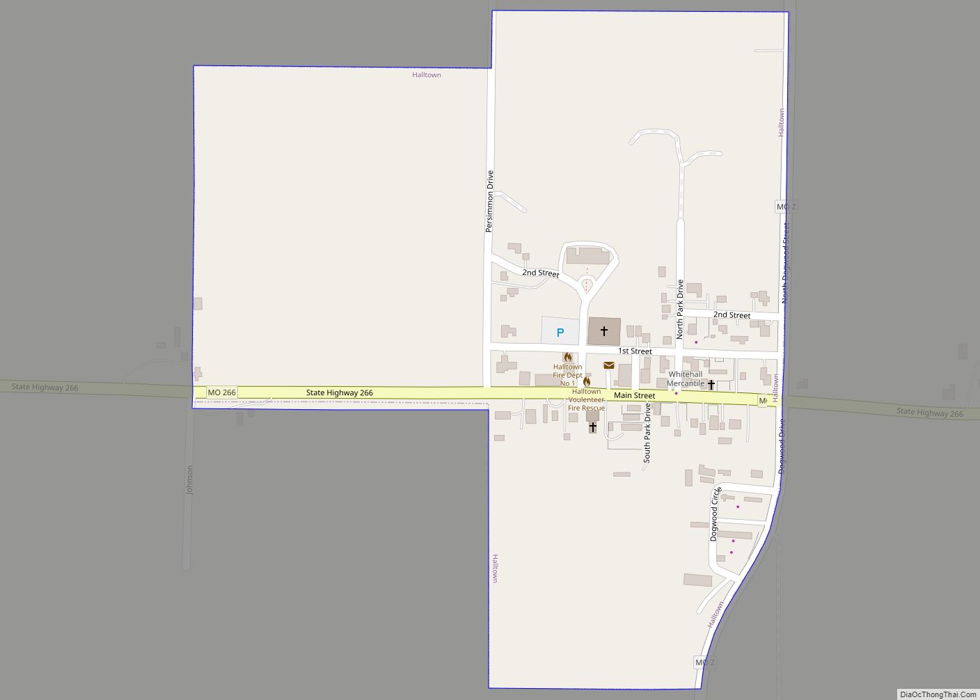
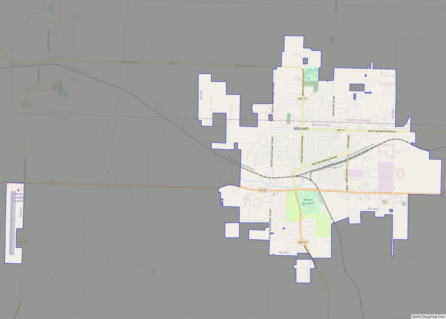
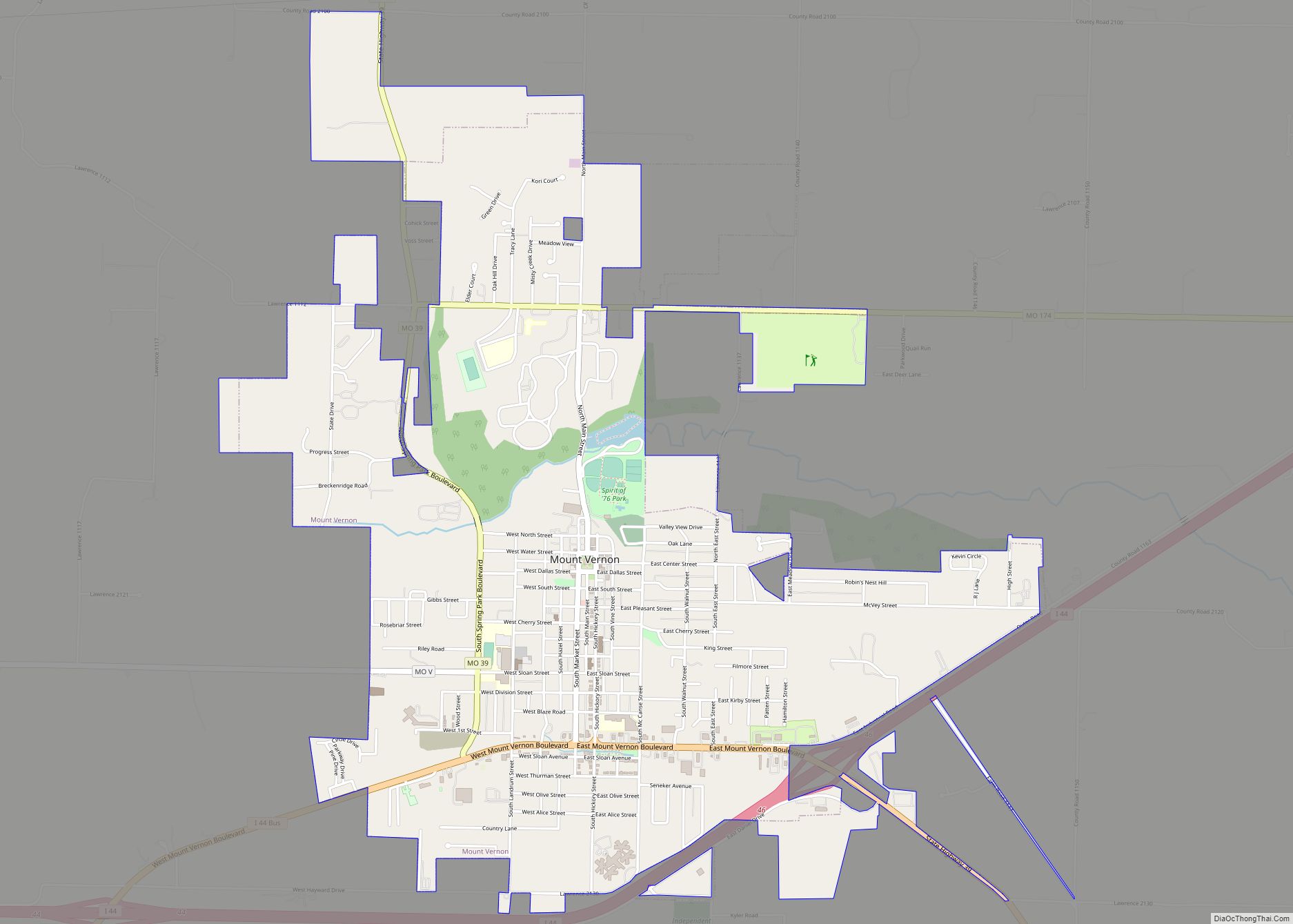
Online Interactive Map
Click on ![]() to view map in "full screen" mode.
to view map in "full screen" mode.
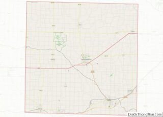
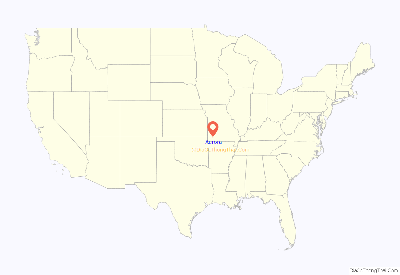
Aurora location map. Where is Aurora city?
History
The Honey Creek area, near Aurora was originally settled by pioneers from Tennessee, including James D. Hillhouse, E. B. Hillhouse, Reverend A. A. Young, James Barrow and James Gibson. They were later instrumental in founding Aurora. Their descendants include actor Brad Pitt and novelist and national security analyst Raelynn Hillhouse.
Aurora was platted in 1870 by Stephen G. Elliott. It was reportedly named after Aurora, the Roman goddess of dawn.
Galena ore was discovered in 1885 while digging a well on the farm of Thomas D. Liles in November, marking the beginning of Aurora as a mining town. Mining of surface outcrops began in 1886. Large scale commercial mining began shortly afterwards as the mines grew deeper and zinc and galena were discovered. The zinc from the Aurora mines was of exceptional purity and high grade. By 1893, 12,651 tons of zinc ore were mined and shipped from Aurora. The mines attracted prospectors and miners. Aurora’s population peaked at 10,000 circa 1900.
The Frisco Railroad (now Burlington Northern-Santa Fe) and the Missouri Pacific (now Union Pacific) previously had depots in Aurora. The train master for the Missouri Pacific Railroad’s White River division was headquartered in Aurora until the mid-1950s.
From 1911 to 1920, the virulently anti-Catholic newspaper The Menace was published in Aurora by W. F. Phelps and Earl McClure. In 1914, it achieved a national circulation of over one million, according to the March 1932 issue of American Mercury.
The Lewis Shaw Coleman House was listed on the National Register of Historic Places in 2016.
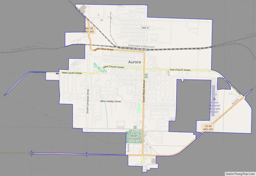
Aurora Road Map
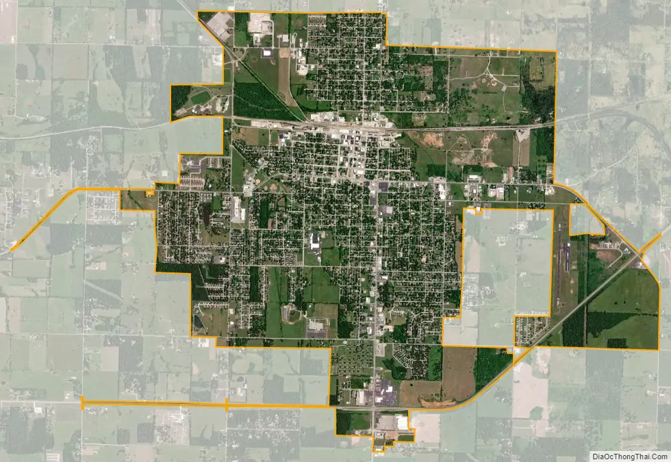
Aurora city Satellite Map
Geography
Aurora is located at 36°58′12″N 93°43′14″W / 36.97000°N 93.72056°W / 36.97000; -93.72056 (36.969956, -93.720574). According to the United States Census Bureau, the city has a total area of 5.98 square miles (15.49 km), of which 5.95 square miles (15.41 km) is land and 0.03 square miles (0.08 km) is water.
See also
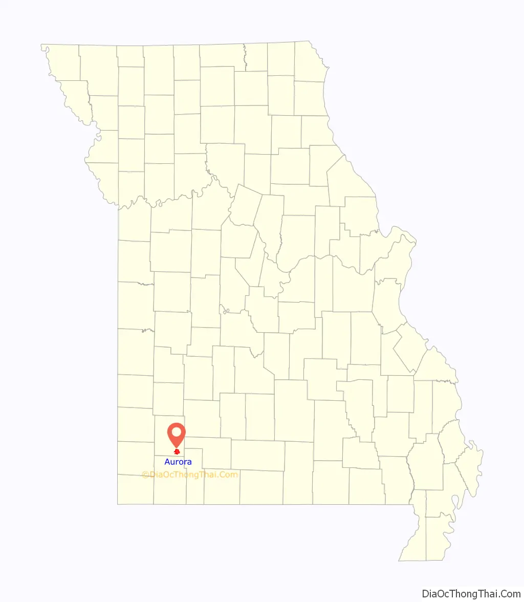
Map of Missouri State and its subdivision:- Adair
- Andrew
- Atchison
- Audrain
- Barry
- Barton
- Bates
- Benton
- Bollinger
- Boone
- Buchanan
- Butler
- Caldwell
- Callaway
- Camden
- Cape Girardeau
- Carroll
- Carter
- Cass
- Cedar
- Chariton
- Christian
- Clark
- Clay
- Clinton
- Cole
- Cooper
- Crawford
- Dade
- Dallas
- Daviess
- De Kalb
- Dent
- Douglas
- Dunklin
- Franklin
- Gasconade
- Gentry
- Greene
- Grundy
- Harrison
- Henry
- Hickory
- Holt
- Howard
- Howell
- Iron
- Jackson
- Jasper
- Jefferson
- Johnson
- Knox
- Laclede
- Lafayette
- Lawrence
- Lewis
- Lincoln
- Linn
- Livingston
- Macon
- Madison
- Maries
- Marion
- McDonald
- Mercer
- Miller
- Mississippi
- Moniteau
- Monroe
- Montgomery
- Morgan
- New Madrid
- Newton
- Nodaway
- Oregon
- Osage
- Ozark
- Pemiscot
- Perry
- Pettis
- Phelps
- Pike
- Platte
- Polk
- Pulaski
- Putnam
- Ralls
- Randolph
- Ray
- Reynolds
- Ripley
- Saint Charles
- Saint Clair
- Saint Francois
- Saint Louis
- Sainte Genevieve
- Saline
- Schuyler
- Scotland
- Scott
- Shannon
- Shelby
- Stoddard
- Stone
- Sullivan
- Taney
- Texas
- Vernon
- Warren
- Washington
- Wayne
- Webster
- Worth
- Wright
- Alabama
- Alaska
- Arizona
- Arkansas
- California
- Colorado
- Connecticut
- Delaware
- District of Columbia
- Florida
- Georgia
- Hawaii
- Idaho
- Illinois
- Indiana
- Iowa
- Kansas
- Kentucky
- Louisiana
- Maine
- Maryland
- Massachusetts
- Michigan
- Minnesota
- Mississippi
- Missouri
- Montana
- Nebraska
- Nevada
- New Hampshire
- New Jersey
- New Mexico
- New York
- North Carolina
- North Dakota
- Ohio
- Oklahoma
- Oregon
- Pennsylvania
- Rhode Island
- South Carolina
- South Dakota
- Tennessee
- Texas
- Utah
- Vermont
- Virginia
- Washington
- West Virginia
- Wisconsin
- Wyoming