Barnhart is a census-designated place (CDP) in Jefferson County, Missouri, United States. Barnhart is also a suburb of St. Louis
| Name: | Barnhart CDP |
|---|---|
| LSAD Code: | 57 |
| LSAD Description: | CDP (suffix) |
| State: | Missouri |
| County: | Jefferson County |
| Elevation: | 554 ft (169 m) |
| Total Area: | 5.26 sq mi (13.62 km²) |
| Land Area: | 5.10 sq mi (13.21 km²) |
| Water Area: | 0.16 sq mi (0.41 km²) |
| Total Population: | 5,832 |
| Population Density: | 1,143.31/sq mi (441.45/km²) |
| ZIP code: | 63012 |
| Area code: | 636 |
| FIPS code: | 2903394 |
| GNISfeature ID: | 2393328 |
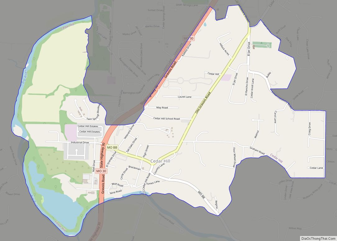
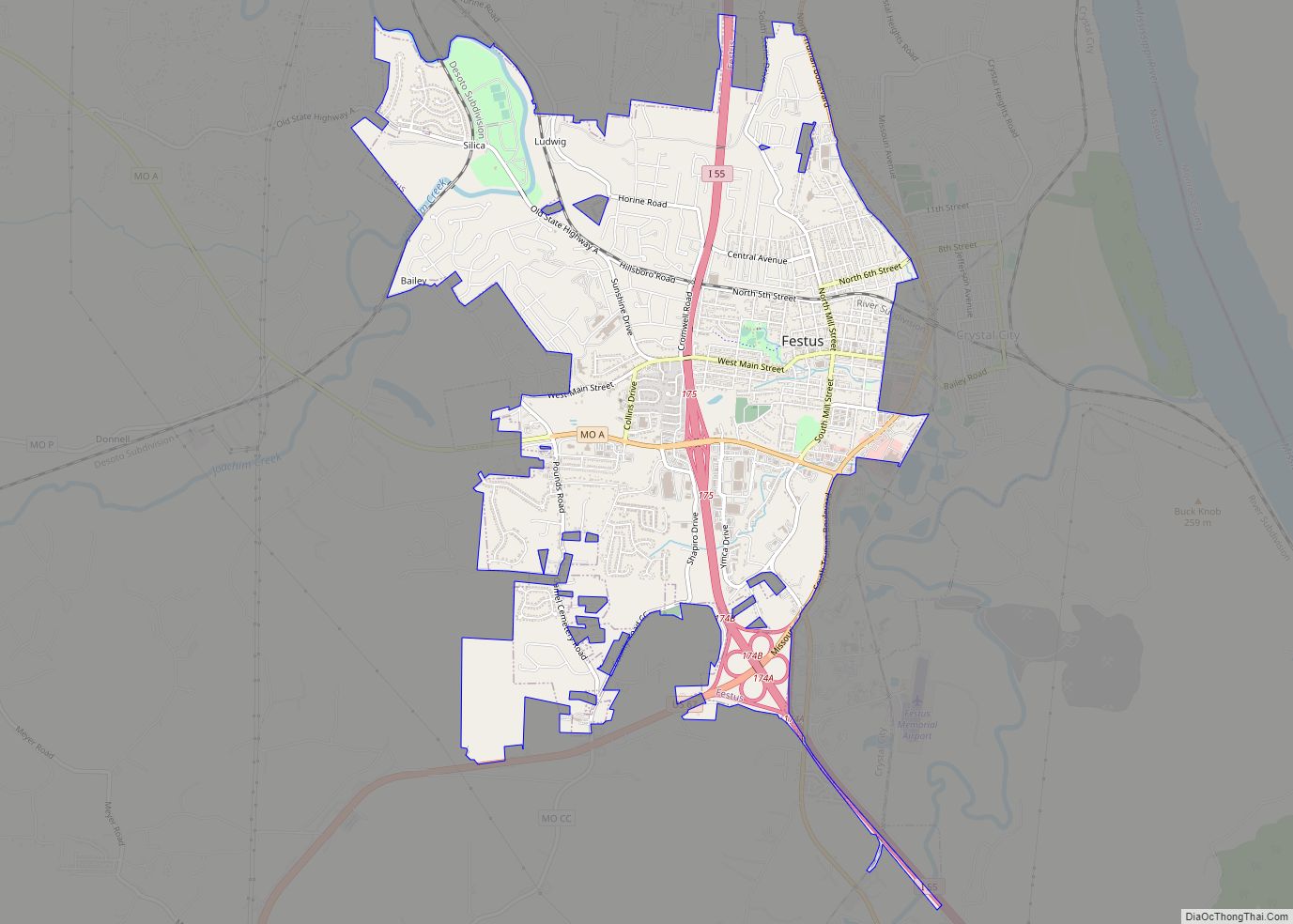
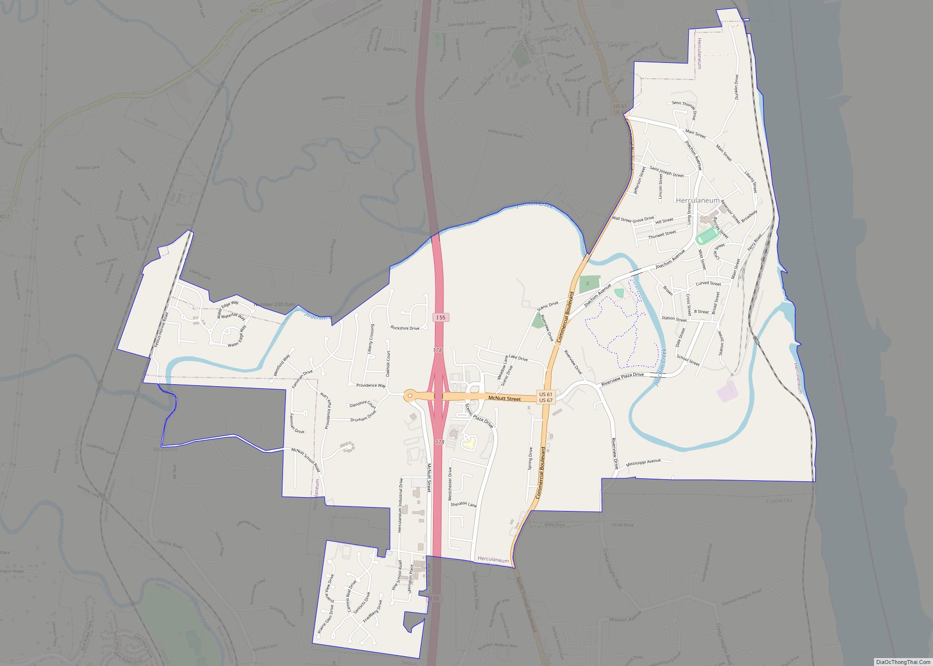
Online Interactive Map
Click on ![]() to view map in "full screen" mode.
to view map in "full screen" mode.
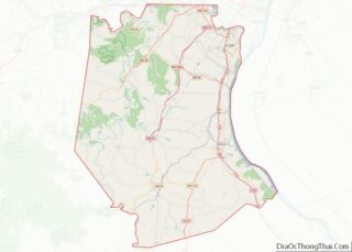
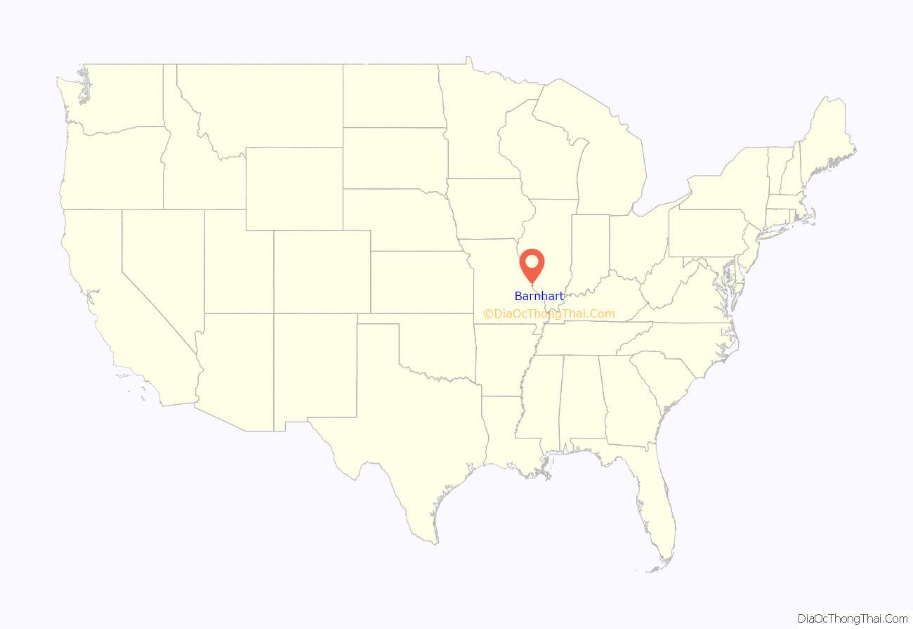
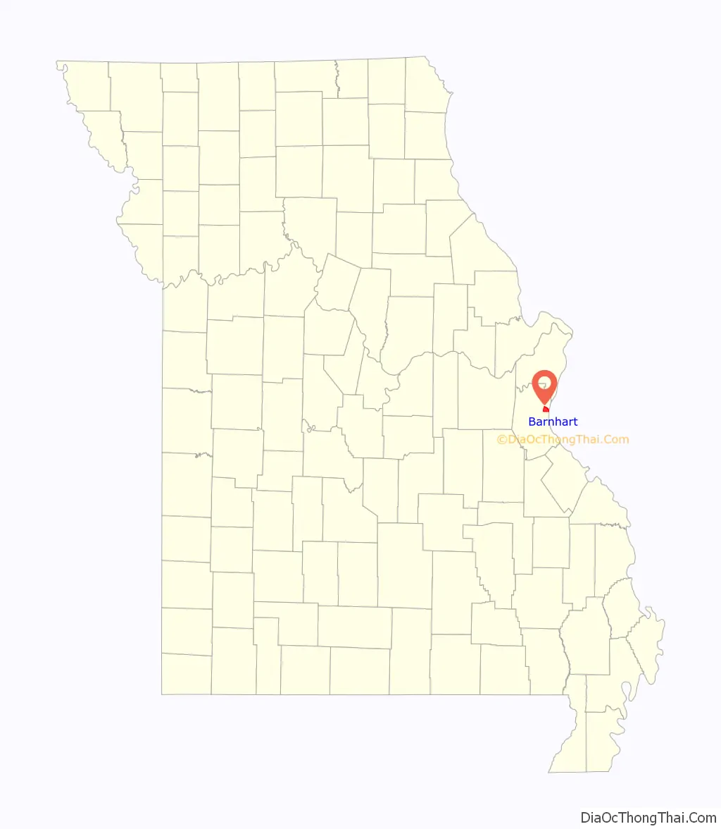
Barnhart location map. Where is Barnhart CDP?
History
The land surrounding Barnhart originally belonged to Benjamin O’Fallon, who settled here with his family in 1834. The James O’Fallon Home was built in 1860, and was purchased in 1884 by Joseph G. Marriott, a cattle rancher who introducing the first Holstein cattle to Jefferson County. The extant home is now called the Parkton Mansion. The town was not named until after the Frisco Railroad was completed in the early 1900s, and may have been named for Mrs. C. L. Barnhart, who donated land for the Frisco Railroad Depot.
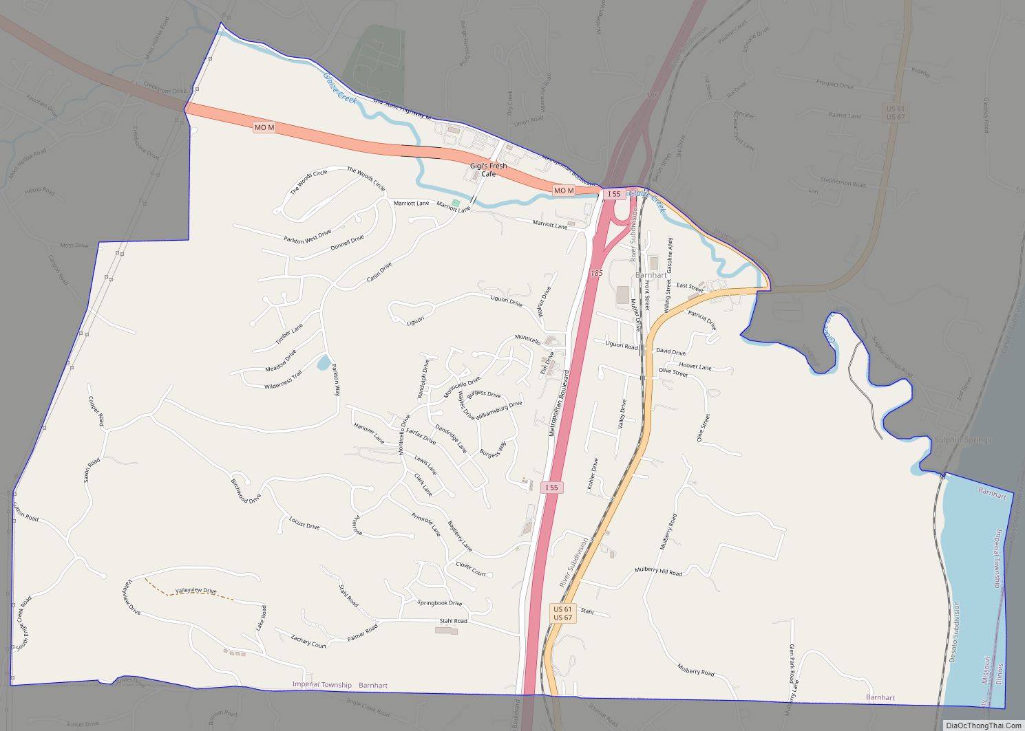
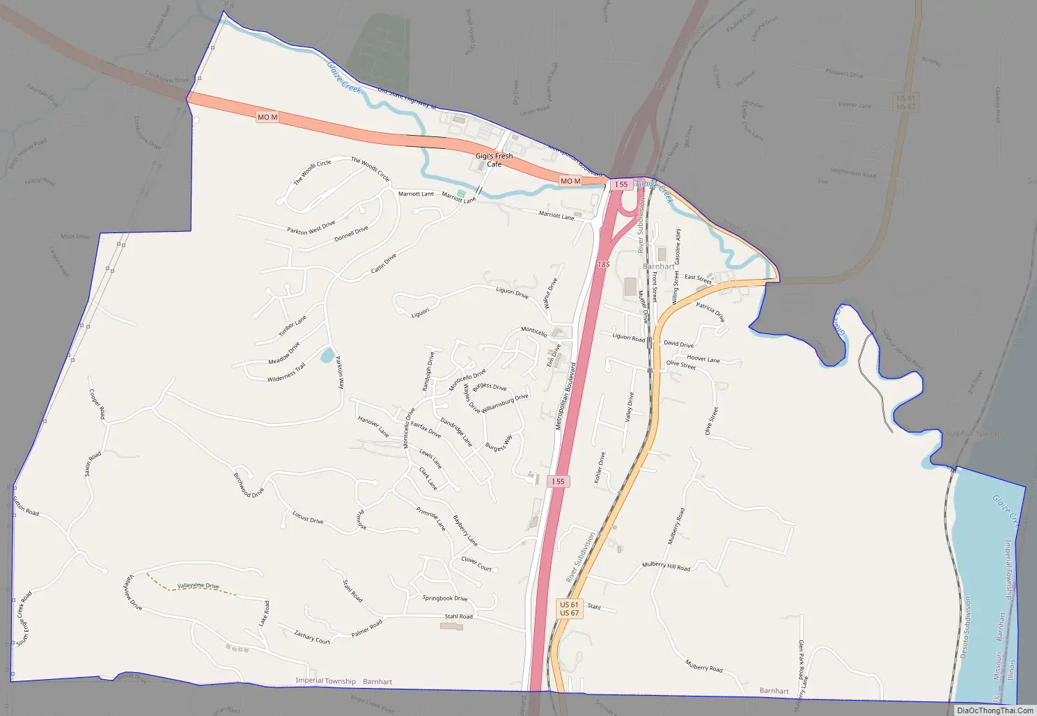
Barnhart Road Map
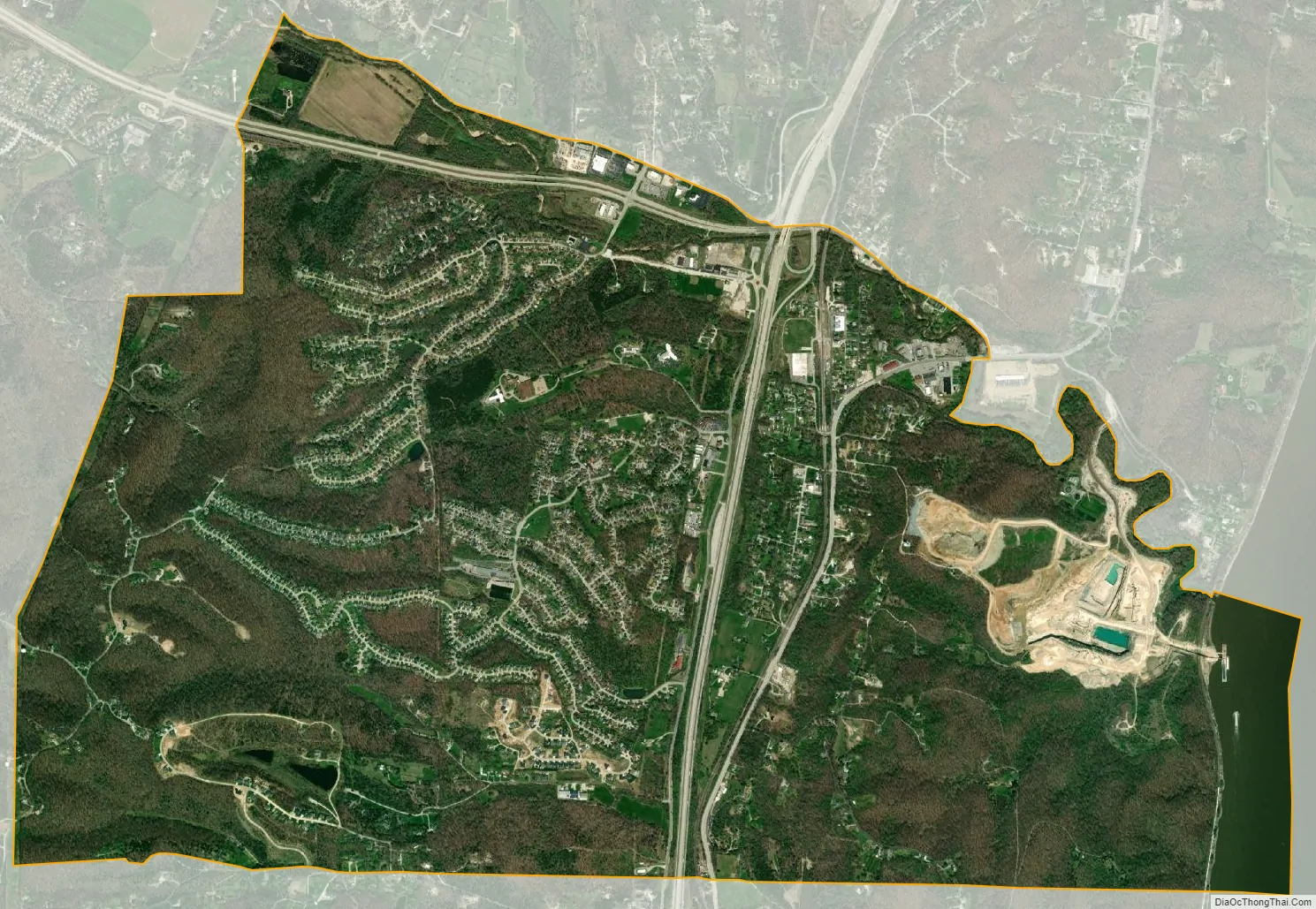
Barnhart city Satellite Map
Geography
According to the United States Census Bureau, the CDP has a total area of 5.25 square miles (13.60 km), of which 5.09 square miles (13.18 km) is land and 0.16 square miles (0.41 km) is water.
See also
Map of Missouri State and its subdivision:- Adair
- Andrew
- Atchison
- Audrain
- Barry
- Barton
- Bates
- Benton
- Bollinger
- Boone
- Buchanan
- Butler
- Caldwell
- Callaway
- Camden
- Cape Girardeau
- Carroll
- Carter
- Cass
- Cedar
- Chariton
- Christian
- Clark
- Clay
- Clinton
- Cole
- Cooper
- Crawford
- Dade
- Dallas
- Daviess
- De Kalb
- Dent
- Douglas
- Dunklin
- Franklin
- Gasconade
- Gentry
- Greene
- Grundy
- Harrison
- Henry
- Hickory
- Holt
- Howard
- Howell
- Iron
- Jackson
- Jasper
- Jefferson
- Johnson
- Knox
- Laclede
- Lafayette
- Lawrence
- Lewis
- Lincoln
- Linn
- Livingston
- Macon
- Madison
- Maries
- Marion
- McDonald
- Mercer
- Miller
- Mississippi
- Moniteau
- Monroe
- Montgomery
- Morgan
- New Madrid
- Newton
- Nodaway
- Oregon
- Osage
- Ozark
- Pemiscot
- Perry
- Pettis
- Phelps
- Pike
- Platte
- Polk
- Pulaski
- Putnam
- Ralls
- Randolph
- Ray
- Reynolds
- Ripley
- Saint Charles
- Saint Clair
- Saint Francois
- Saint Louis
- Sainte Genevieve
- Saline
- Schuyler
- Scotland
- Scott
- Shannon
- Shelby
- Stoddard
- Stone
- Sullivan
- Taney
- Texas
- Vernon
- Warren
- Washington
- Wayne
- Webster
- Worth
- Wright
- Alabama
- Alaska
- Arizona
- Arkansas
- California
- Colorado
- Connecticut
- Delaware
- District of Columbia
- Florida
- Georgia
- Hawaii
- Idaho
- Illinois
- Indiana
- Iowa
- Kansas
- Kentucky
- Louisiana
- Maine
- Maryland
- Massachusetts
- Michigan
- Minnesota
- Mississippi
- Missouri
- Montana
- Nebraska
- Nevada
- New Hampshire
- New Jersey
- New Mexico
- New York
- North Carolina
- North Dakota
- Ohio
- Oklahoma
- Oregon
- Pennsylvania
- Rhode Island
- South Carolina
- South Dakota
- Tennessee
- Texas
- Utah
- Vermont
- Virginia
- Washington
- West Virginia
- Wisconsin
- Wyoming