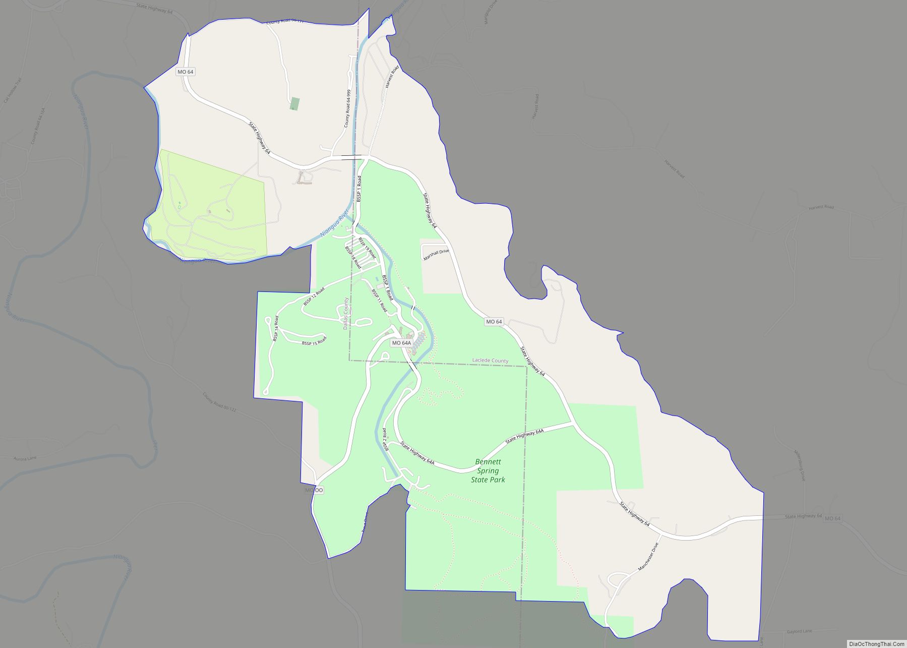
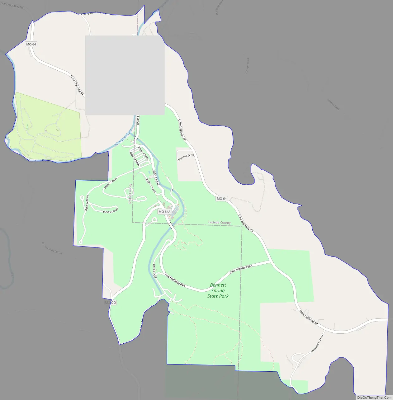
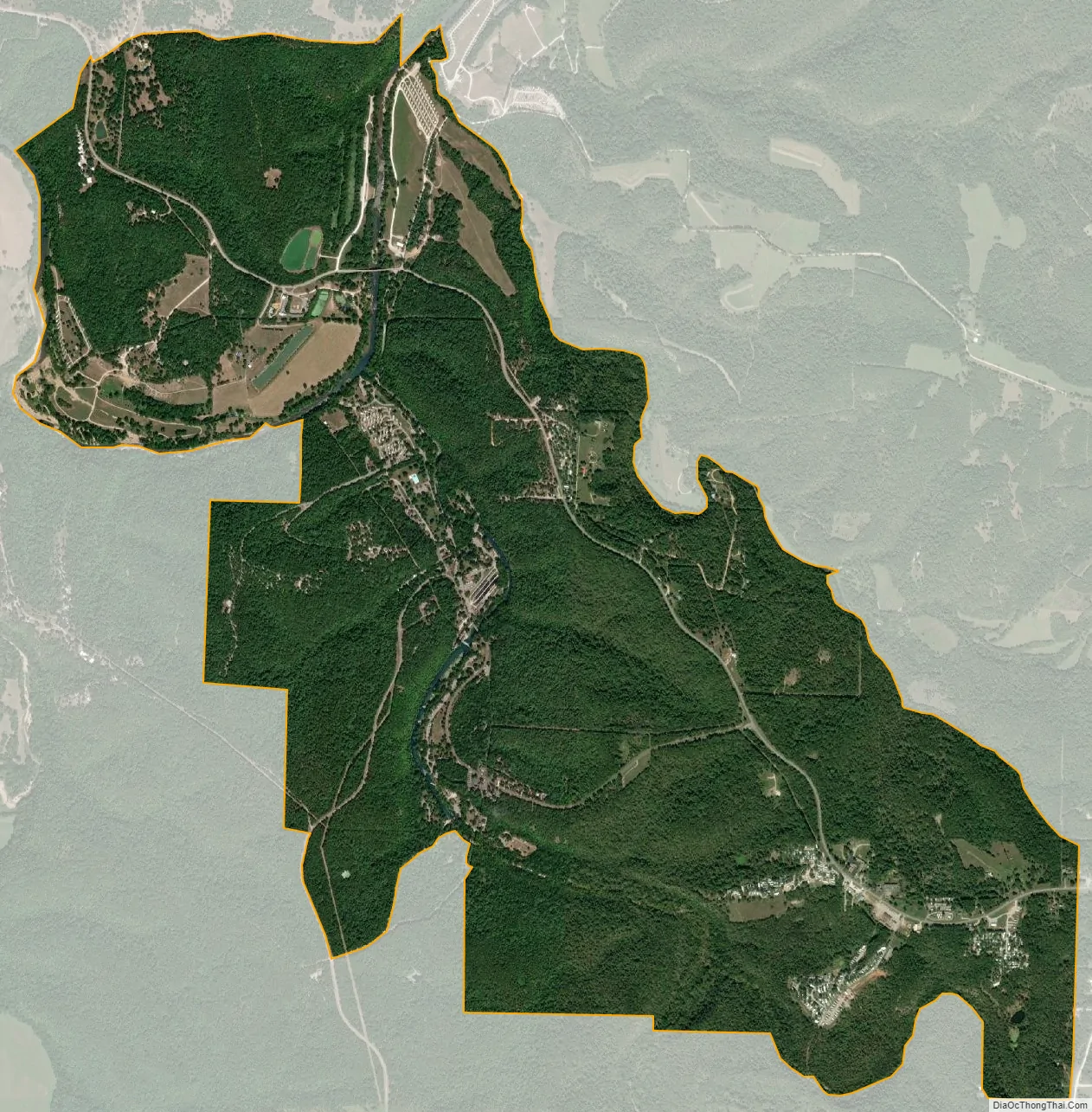
Bennett Spring is an unincorporated community and census-designated place (CDP) in Dallas and Laclede counties, Missouri, United States. As of the 2010 census it had a population of 130. It lies 12 miles (19 km) west of Lebanon on Missouri Route 64. The community is named after a spring that is reported variously as the third or fourth largest in the state, with an average daily flow of about one hundred million gallons, and which is the centerpiece of Bennett Spring State Park.
The community is located adjacent to the confluence of Bennett Spring Branch with the Niangua River, a north-flowing tributary of Lake of the Ozarks and part of the Osage River watershed, which flows northeast to the Missouri River. The spring itself is located approximately one mile south along Bennett Spring Branch within the park boundaries.
Bennett Spring State Park is one of the Missouri trout parks. The park features the largest spring of the four parks. Trout fishing, camping, and hiking are the main activities in the park, and the park also offers cabins, a swimming pool, nature center, and a full-service store.
An early variant name was “Brice”, after James Brice, the proprietor of a local watermill. A post office called Brice was established in 1900, the name was changed to Bennett Springs in 1939, and the post office closed in 1966.
| Name: | Bennett Springs CDP |
|---|---|
| LSAD Code: | 57 |
| LSAD Description: | CDP (suffix) |
| State: | Missouri |
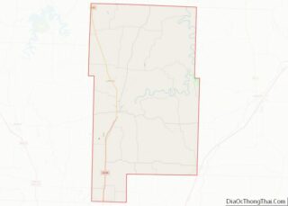
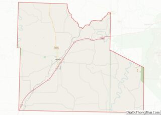
| County: | Dallas County, Laclede County |
| Elevation: | 896 ft (273 m) |
| Total Area: | 4.24 sq mi (10.97 km²) |
| Land Area: | 4.17 sq mi (10.80 km²) |
| Water Area: | 0.07 sq mi (0.17 km²) |
| Total Population: | 138 |
| Population Density: | 33.09/sq mi (12.78/km²) |
| ZIP code: | 65536 |
| Area code: | 417 |
| FIPS code: | 2904525 |
| GNISfeature ID: | 2587052 |
Online Interactive Map
Click on ![]() to view map in "full screen" mode.
to view map in "full screen" mode.
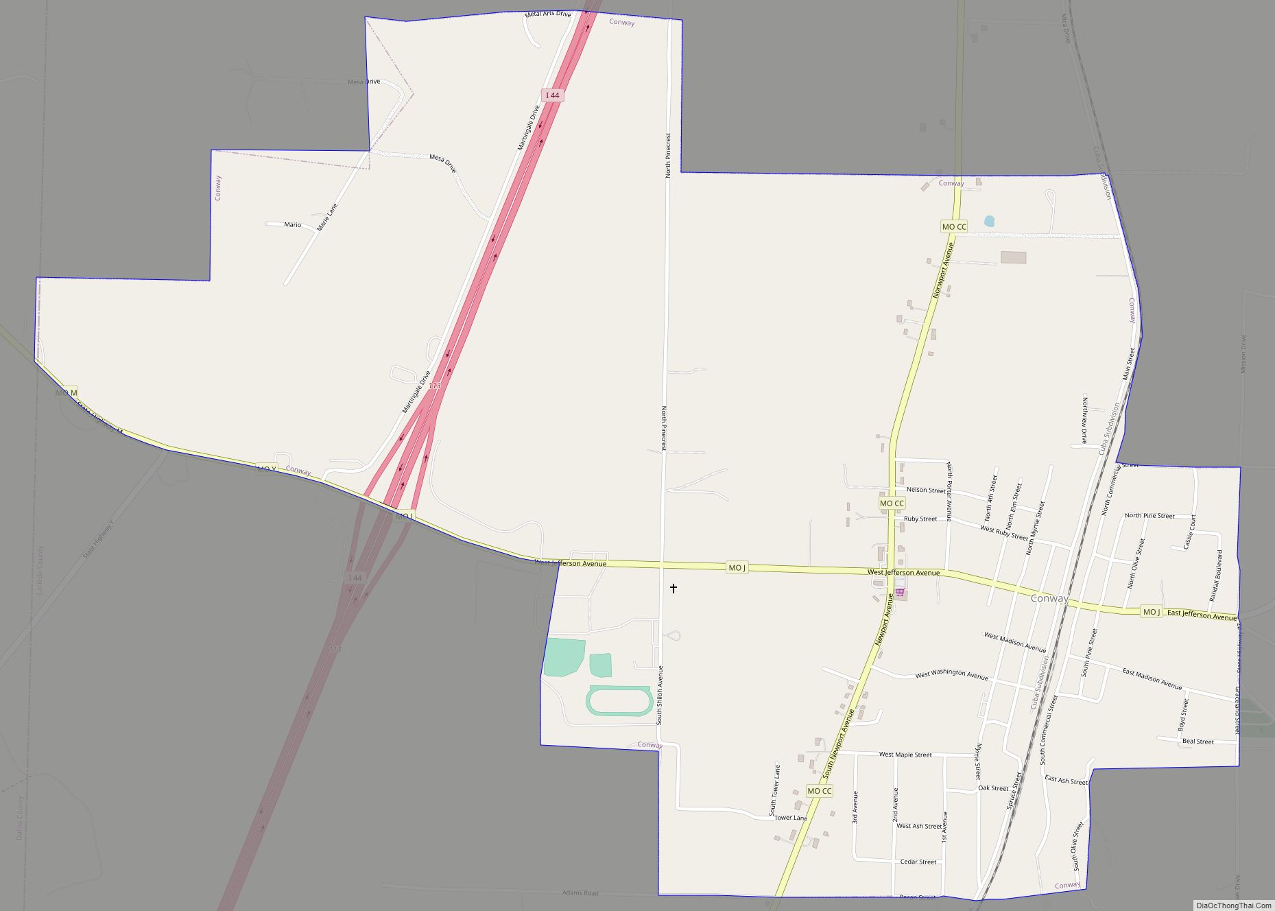
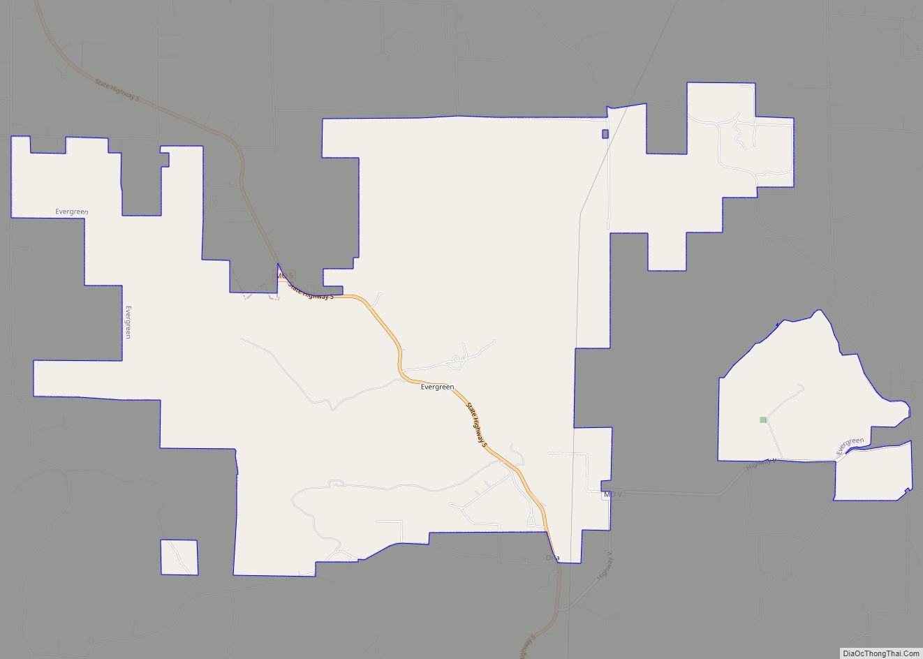
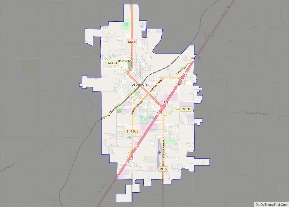
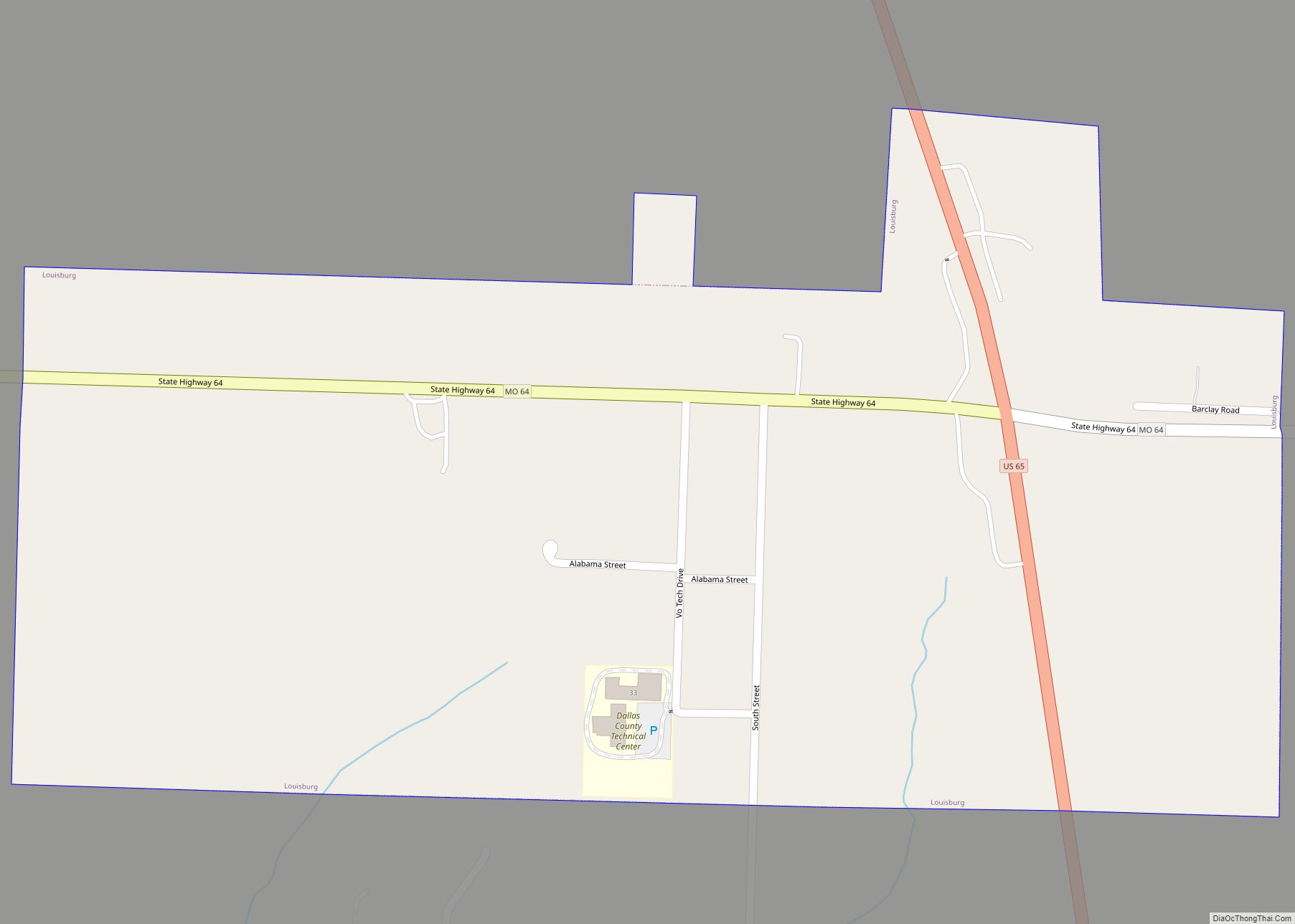
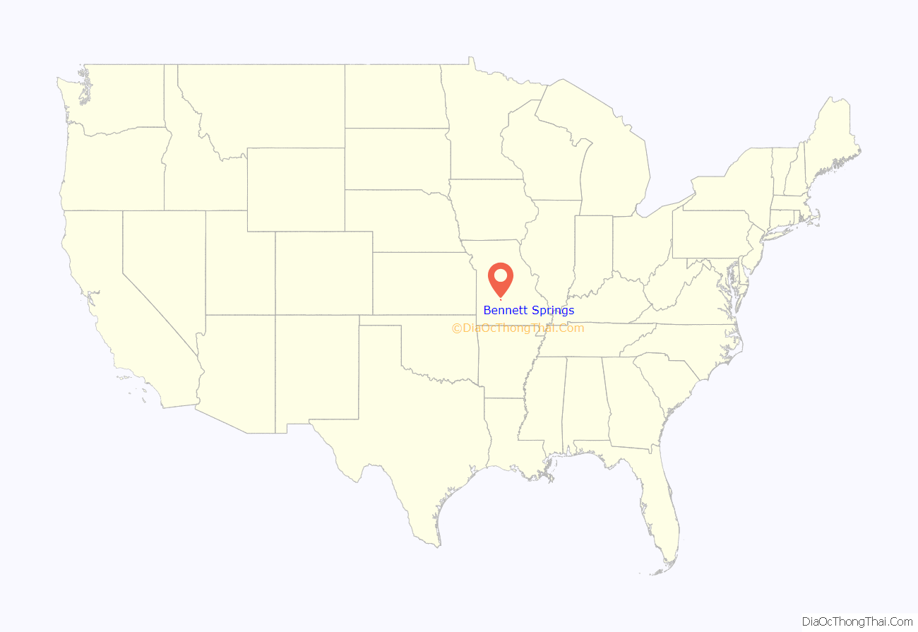
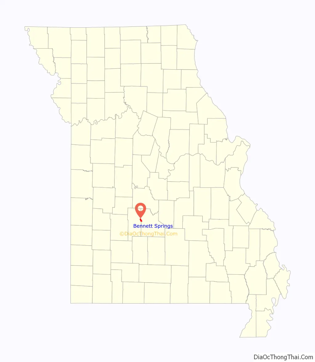
Bennett Springs location map. Where is Bennett Springs CDP?
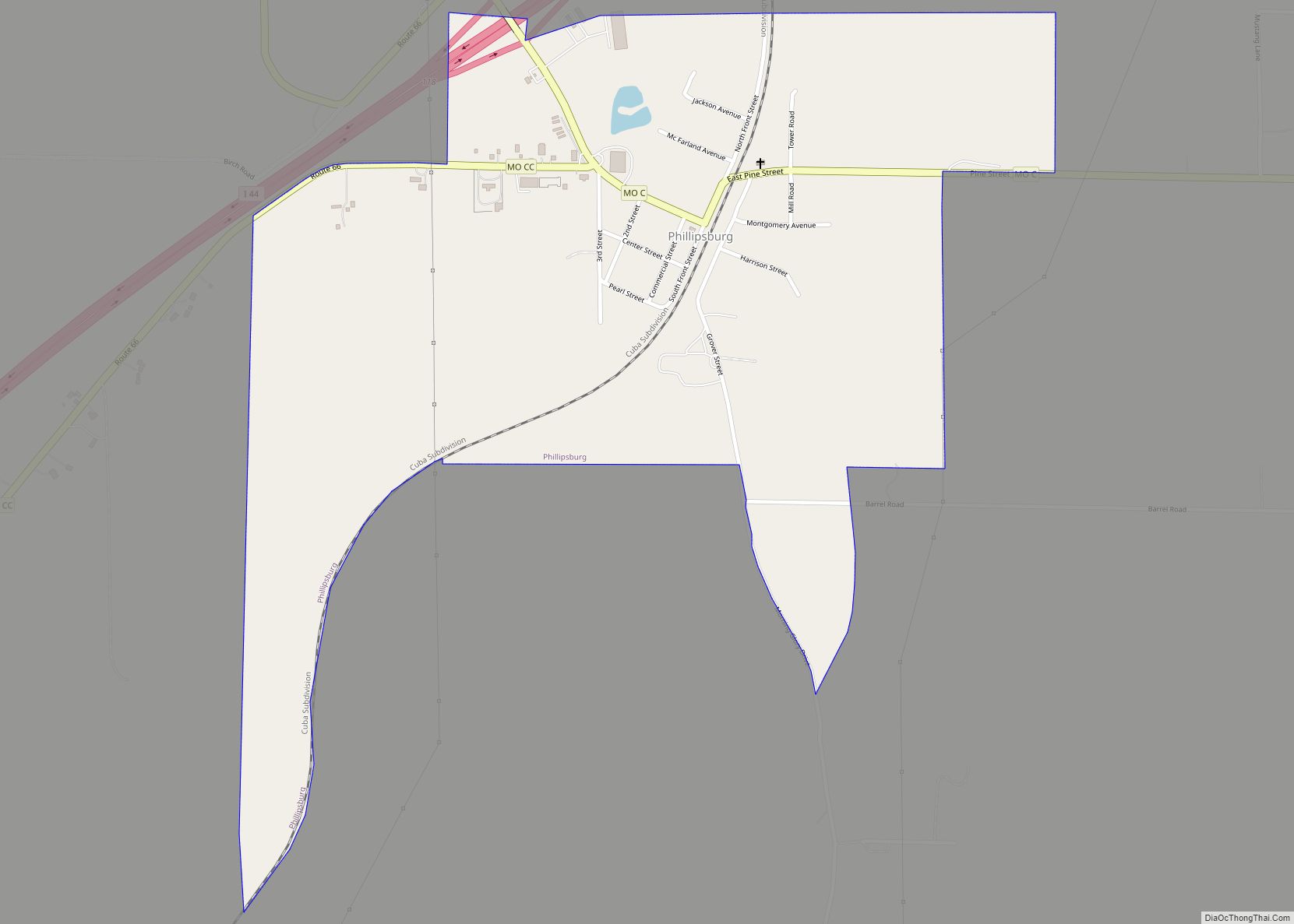
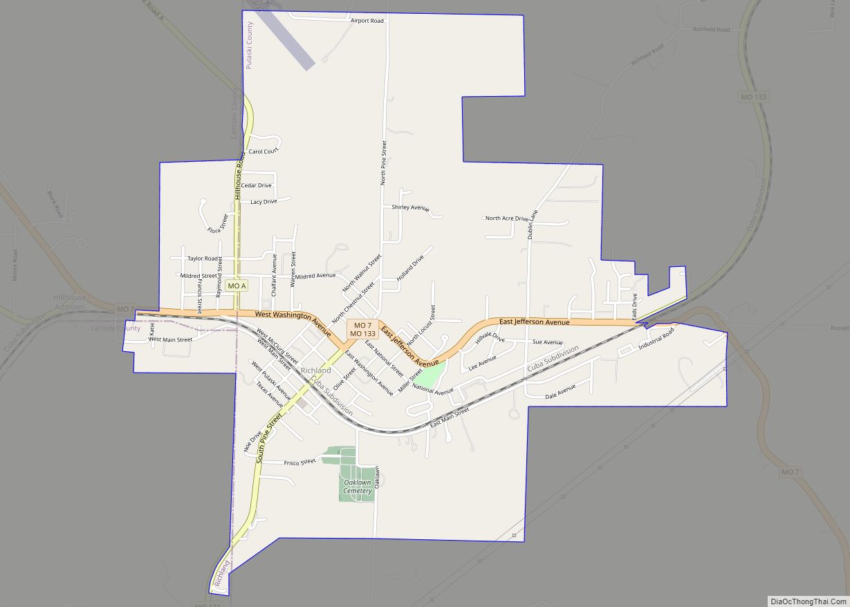
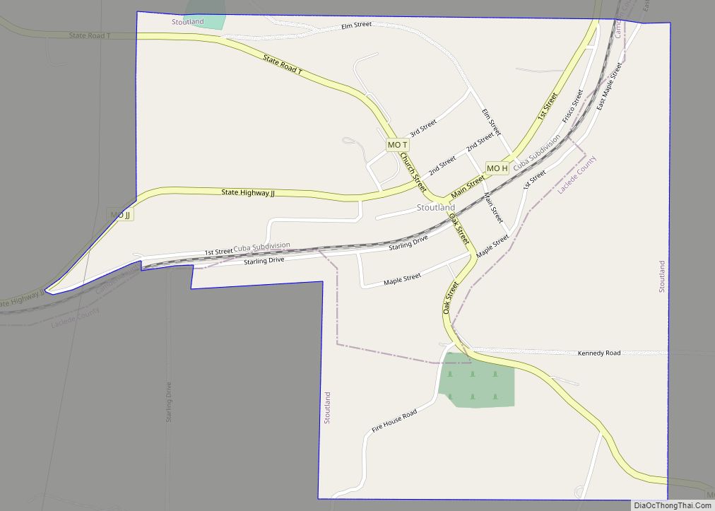
Bennett Springs Road Map
Bennett Springs city Satellite Map
See also
Map of Missouri State and its subdivision:- Adair
- Andrew
- Atchison
- Audrain
- Barry
- Barton
- Bates
- Benton
- Bollinger
- Boone
- Buchanan
- Butler
- Caldwell
- Callaway
- Camden
- Cape Girardeau
- Carroll
- Carter
- Cass
- Cedar
- Chariton
- Christian
- Clark
- Clay
- Clinton
- Cole
- Cooper
- Crawford
- Dade
- Dallas
- Daviess
- De Kalb
- Dent
- Douglas
- Dunklin
- Franklin
- Gasconade
- Gentry
- Greene
- Grundy
- Harrison
- Henry
- Hickory
- Holt
- Howard
- Howell
- Iron
- Jackson
- Jasper
- Jefferson
- Johnson
- Knox
- Laclede
- Lafayette
- Lawrence
- Lewis
- Lincoln
- Linn
- Livingston
- Macon
- Madison
- Maries
- Marion
- McDonald
- Mercer
- Miller
- Mississippi
- Moniteau
- Monroe
- Montgomery
- Morgan
- New Madrid
- Newton
- Nodaway
- Oregon
- Osage
- Ozark
- Pemiscot
- Perry
- Pettis
- Phelps
- Pike
- Platte
- Polk
- Pulaski
- Putnam
- Ralls
- Randolph
- Ray
- Reynolds
- Ripley
- Saint Charles
- Saint Clair
- Saint Francois
- Saint Louis
- Sainte Genevieve
- Saline
- Schuyler
- Scotland
- Scott
- Shannon
- Shelby
- Stoddard
- Stone
- Sullivan
- Taney
- Texas
- Vernon
- Warren
- Washington
- Wayne
- Webster
- Worth
- Wright
- Alabama
- Alaska
- Arizona
- Arkansas
- California
- Colorado
- Connecticut
- Delaware
- District of Columbia
- Florida
- Georgia
- Hawaii
- Idaho
- Illinois
- Indiana
- Iowa
- Kansas
- Kentucky
- Louisiana
- Maine
- Maryland
- Massachusetts
- Michigan
- Minnesota
- Mississippi
- Missouri
- Montana
- Nebraska
- Nevada
- New Hampshire
- New Jersey
- New Mexico
- New York
- North Carolina
- North Dakota
- Ohio
- Oklahoma
- Oregon
- Pennsylvania
- Rhode Island
- South Carolina
- South Dakota
- Tennessee
- Texas
- Utah
- Vermont
- Virginia
- Washington
- West Virginia
- Wisconsin
- Wyoming