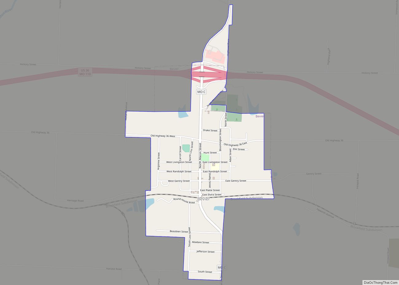
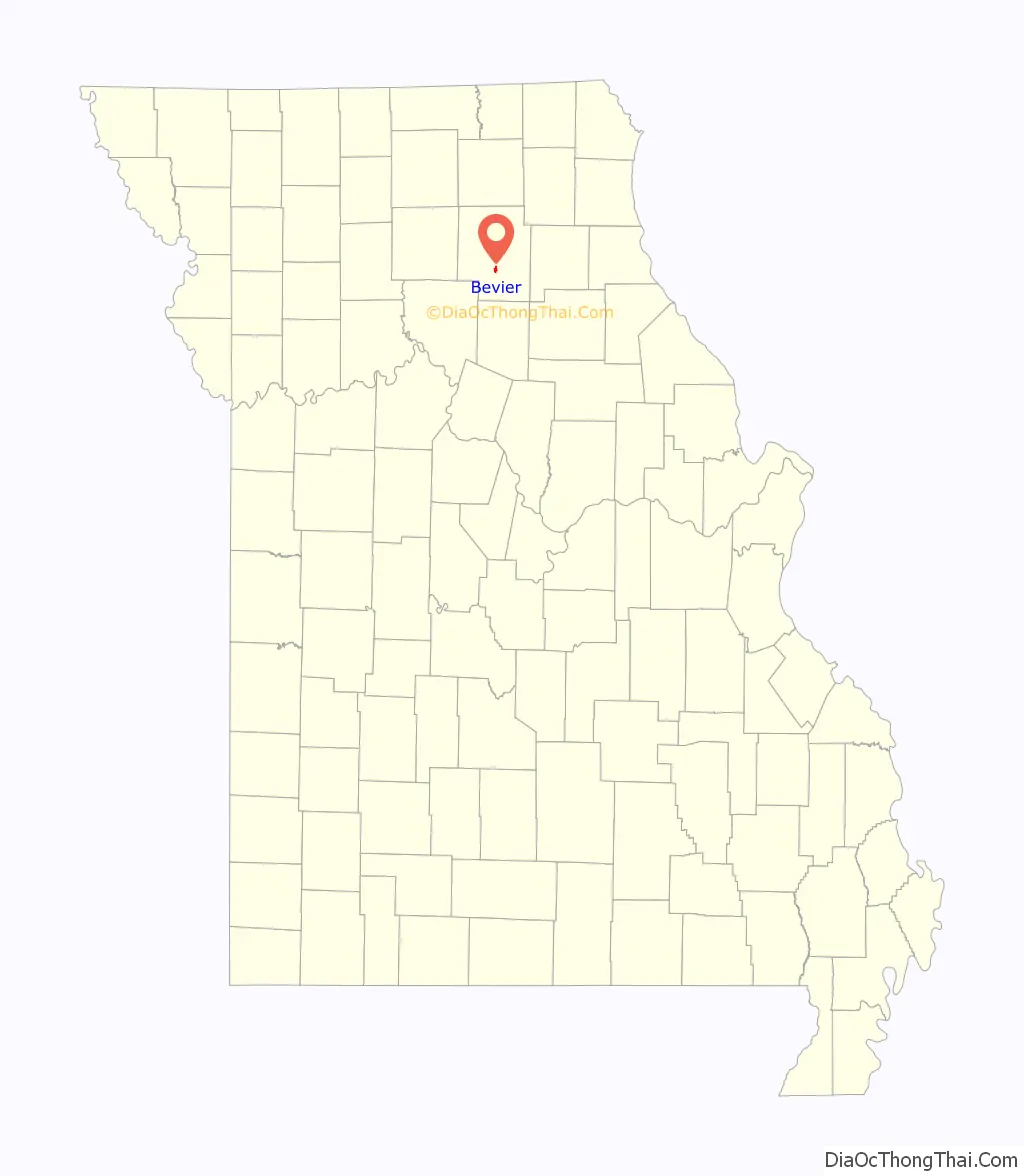
Bevier is a city in Macon County, Missouri, United States. The population was 636 at the 2020 census.
| Name: | Bevier city |
|---|---|
| LSAD Code: | 25 |
| LSAD Description: | city (suffix) |
| State: | Missouri |
| County: | Macon County |
| Elevation: | 843 ft (257 m) |
| Total Area: | 1.04 sq mi (2.69 km²) |
| Land Area: | 1.04 sq mi (2.69 km²) |
| Water Area: | 0.00 sq mi (0.00 km²) |
| Total Population: | 636 |
| Population Density: | 612.72/sq mi (236.56/km²) |
| ZIP code: | 63532 |
| Area code: | 660 |
| FIPS code: | 2905266 |
| GNISfeature ID: | 2394160 |
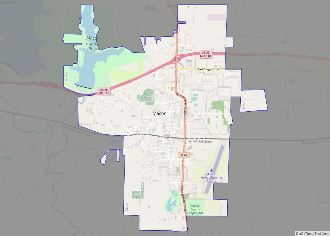
Online Interactive Map
Click on ![]() to view map in "full screen" mode.
to view map in "full screen" mode.
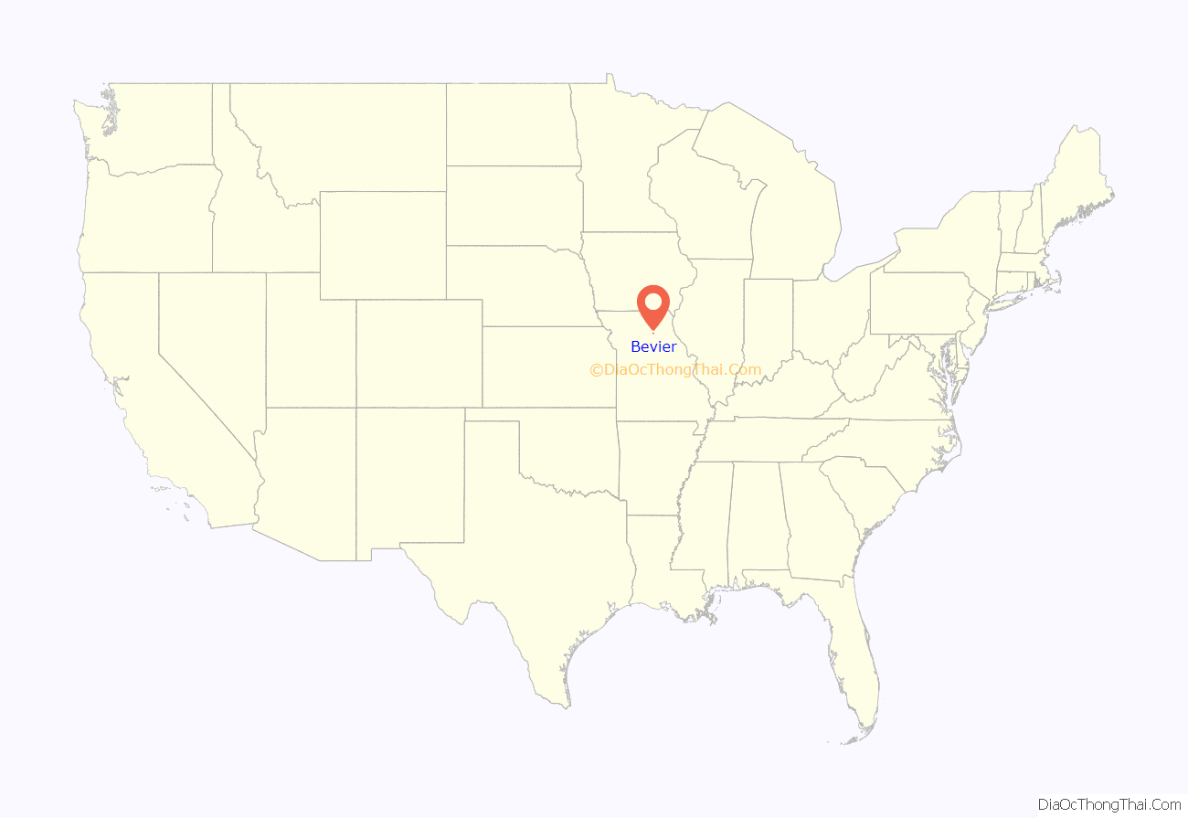
Bevier location map. Where is Bevier city?
History
Bevier was laid out and platted in 1858 along a new railroad line. The community was named for Kentucky native Col. Robert Bevier, who afterward became a leader of the Confederate army. A post office called Bevier has been in operation since 1858.
Coal was discovered in Bevier in 1860, and coal mining was an important part of the town economy well into the 20th century. Bevier was incorporated as a village on September 5, 1881, and reorganized as a city on March 16, 1889.
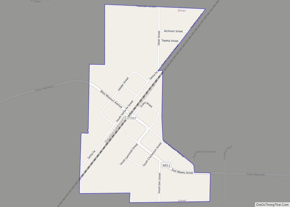
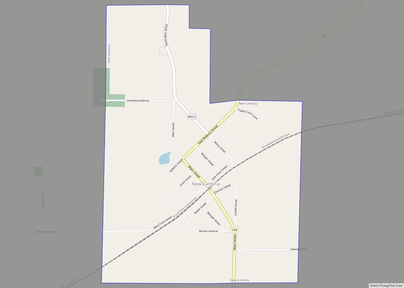
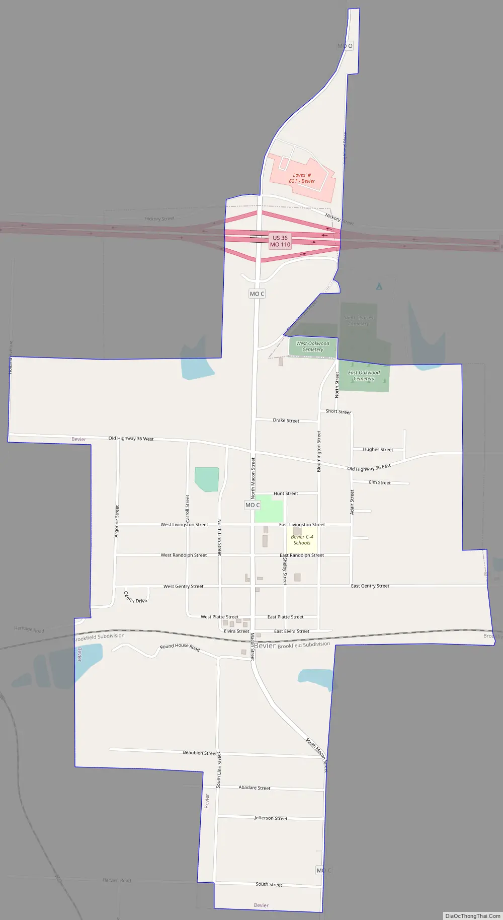
Bevier Road Map
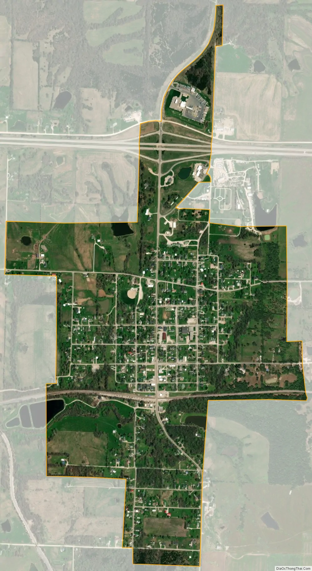
Bevier city Satellite Map
Geography
Bevier is located at 39°44′57″N 92°33′50″W / 39.74917°N 92.56389°W / 39.74917; -92.56389 (39.749126, -92.563902).
According to the United States Census Bureau, the city has a total area of 1.03 square miles (2.67 km), all of it land.
See also
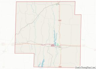
Map of Missouri State and its subdivision:- Adair
- Andrew
- Atchison
- Audrain
- Barry
- Barton
- Bates
- Benton
- Bollinger
- Boone
- Buchanan
- Butler
- Caldwell
- Callaway
- Camden
- Cape Girardeau
- Carroll
- Carter
- Cass
- Cedar
- Chariton
- Christian
- Clark
- Clay
- Clinton
- Cole
- Cooper
- Crawford
- Dade
- Dallas
- Daviess
- De Kalb
- Dent
- Douglas
- Dunklin
- Franklin
- Gasconade
- Gentry
- Greene
- Grundy
- Harrison
- Henry
- Hickory
- Holt
- Howard
- Howell
- Iron
- Jackson
- Jasper
- Jefferson
- Johnson
- Knox
- Laclede
- Lafayette
- Lawrence
- Lewis
- Lincoln
- Linn
- Livingston
- Macon
- Madison
- Maries
- Marion
- McDonald
- Mercer
- Miller
- Mississippi
- Moniteau
- Monroe
- Montgomery
- Morgan
- New Madrid
- Newton
- Nodaway
- Oregon
- Osage
- Ozark
- Pemiscot
- Perry
- Pettis
- Phelps
- Pike
- Platte
- Polk
- Pulaski
- Putnam
- Ralls
- Randolph
- Ray
- Reynolds
- Ripley
- Saint Charles
- Saint Clair
- Saint Francois
- Saint Louis
- Sainte Genevieve
- Saline
- Schuyler
- Scotland
- Scott
- Shannon
- Shelby
- Stoddard
- Stone
- Sullivan
- Taney
- Texas
- Vernon
- Warren
- Washington
- Wayne
- Webster
- Worth
- Wright
- Alabama
- Alaska
- Arizona
- Arkansas
- California
- Colorado
- Connecticut
- Delaware
- District of Columbia
- Florida
- Georgia
- Hawaii
- Idaho
- Illinois
- Indiana
- Iowa
- Kansas
- Kentucky
- Louisiana
- Maine
- Maryland
- Massachusetts
- Michigan
- Minnesota
- Mississippi
- Missouri
- Montana
- Nebraska
- Nevada
- New Hampshire
- New Jersey
- New Mexico
- New York
- North Carolina
- North Dakota
- Ohio
- Oklahoma
- Oregon
- Pennsylvania
- Rhode Island
- South Carolina
- South Dakota
- Tennessee
- Texas
- Utah
- Vermont
- Virginia
- Washington
- West Virginia
- Wisconsin
- Wyoming