Branson West is a city in Stone County, Missouri, United States. The population was 484 at the 2020 census.
| Name: | Branson West city |
|---|---|
| LSAD Code: | 25 |
| LSAD Description: | city (suffix) |
| State: | Missouri |
| County: | Stone County |
| Elevation: | 1,368 ft (417 m) |
| Total Area: | 4.72 sq mi (12.22 km²) |
| Land Area: | 4.72 sq mi (12.22 km²) |
| Water Area: | 0.00 sq mi (0.00 km²) |
| Total Population: | 484 |
| Population Density: | 102.56/sq mi (39.60/km²) |
| ZIP code: | 65737 |
| Area code: | 417 |
| FIPS code: | 2907989 |
| GNISfeature ID: | 1669588 |
Online Interactive Map
Click on ![]() to view map in "full screen" mode.
to view map in "full screen" mode.
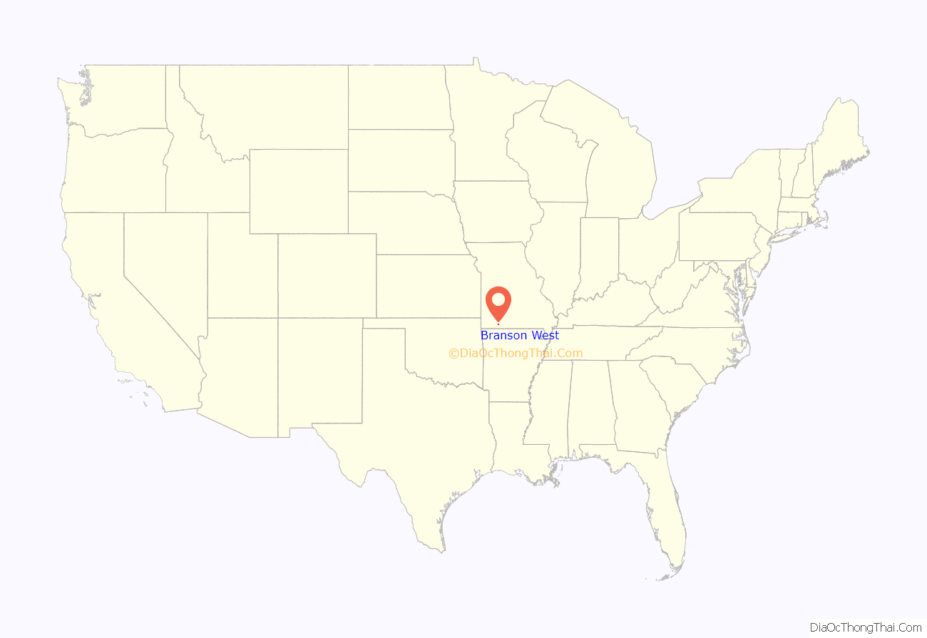
Branson West location map. Where is Branson West city?
History
Originally known as Linchpin, the crossroads of highways 13 and 76 was officially called Lakeview until its name was changed by the city in 1992 in an attempt to cash in on the explosive growth of the tourism industry in nearby Branson. The bid initially paid off as the population of Branson West grew from 37 to 408 between 1990 and 2000; growth has since tapered off, mostly due to the town’s isolation and lack of nearby amenities.
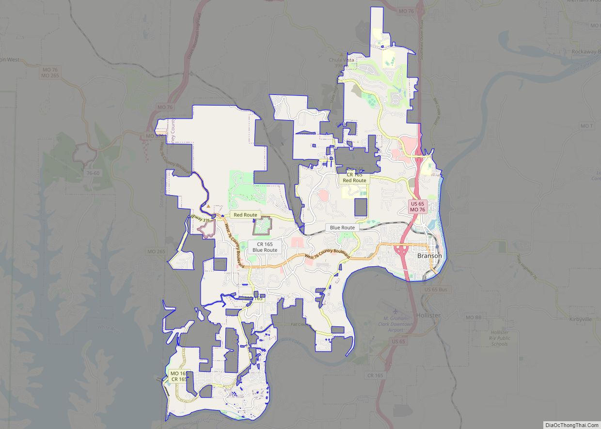
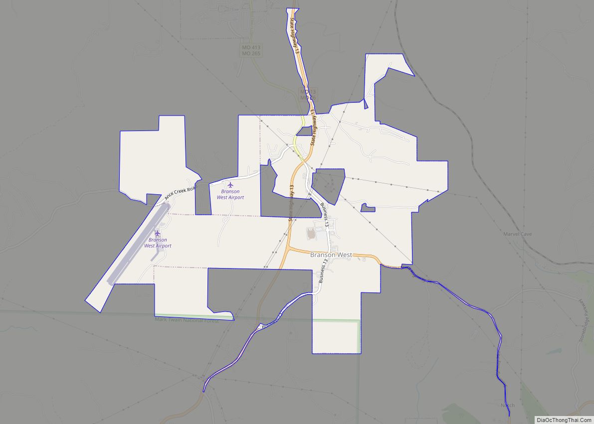
Branson West Road Map
Branson West city Satellite Map
Geography
Branson West is located at 36°42′18″N 93°22′16″W / 36.70500°N 93.37111°W / 36.70500; -93.37111 (36.704978, -93.371245).
According to the United States Census Bureau, the city has a total area of 4.49 square miles (11.63 km), all land. On February 25, 1992 the city of Lakeview officially changed its name to Branson West, Missouri in an effort to capitalize on the explosive growth of neighboring Branson.
See also
Map of Missouri State and its subdivision:- Adair
- Andrew
- Atchison
- Audrain
- Barry
- Barton
- Bates
- Benton
- Bollinger
- Boone
- Buchanan
- Butler
- Caldwell
- Callaway
- Camden
- Cape Girardeau
- Carroll
- Carter
- Cass
- Cedar
- Chariton
- Christian
- Clark
- Clay
- Clinton
- Cole
- Cooper
- Crawford
- Dade
- Dallas
- Daviess
- De Kalb
- Dent
- Douglas
- Dunklin
- Franklin
- Gasconade
- Gentry
- Greene
- Grundy
- Harrison
- Henry
- Hickory
- Holt
- Howard
- Howell
- Iron
- Jackson
- Jasper
- Jefferson
- Johnson
- Knox
- Laclede
- Lafayette
- Lawrence
- Lewis
- Lincoln
- Linn
- Livingston
- Macon
- Madison
- Maries
- Marion
- McDonald
- Mercer
- Miller
- Mississippi
- Moniteau
- Monroe
- Montgomery
- Morgan
- New Madrid
- Newton
- Nodaway
- Oregon
- Osage
- Ozark
- Pemiscot
- Perry
- Pettis
- Phelps
- Pike
- Platte
- Polk
- Pulaski
- Putnam
- Ralls
- Randolph
- Ray
- Reynolds
- Ripley
- Saint Charles
- Saint Clair
- Saint Francois
- Saint Louis
- Sainte Genevieve
- Saline
- Schuyler
- Scotland
- Scott
- Shannon
- Shelby
- Stoddard
- Stone
- Sullivan
- Taney
- Texas
- Vernon
- Warren
- Washington
- Wayne
- Webster
- Worth
- Wright
- Alabama
- Alaska
- Arizona
- Arkansas
- California
- Colorado
- Connecticut
- Delaware
- District of Columbia
- Florida
- Georgia
- Hawaii
- Idaho
- Illinois
- Indiana
- Iowa
- Kansas
- Kentucky
- Louisiana
- Maine
- Maryland
- Massachusetts
- Michigan
- Minnesota
- Mississippi
- Missouri
- Montana
- Nebraska
- Nevada
- New Hampshire
- New Jersey
- New Mexico
- New York
- North Carolina
- North Dakota
- Ohio
- Oklahoma
- Oregon
- Pennsylvania
- Rhode Island
- South Carolina
- South Dakota
- Tennessee
- Texas
- Utah
- Vermont
- Virginia
- Washington
- West Virginia
- Wisconsin
- Wyoming
