Clarksville is a city in Calumet Township, Pike County, Missouri, United States. The population was 442 at the 2010 census.
| Name: | Clarksville city |
|---|---|
| LSAD Code: | 25 |
| LSAD Description: | city (suffix) |
| State: | Missouri |
| County: | Pike County |
| Elevation: | 466 ft (142 m) |
| Total Area: | 0.94 sq mi (2.44 km²) |
| Land Area: | 0.58 sq mi (1.51 km²) |
| Water Area: | 0.36 sq mi (0.93 km²) |
| Total Population: | 372 |
| Population Density: | 640.28/sq mi (247.12/km²) |
| ZIP code: | 63336 |
| Area code: | 573 |
| FIPS code: | 2914194 |
| GNISfeature ID: | 2393545 |
| Website: | http://www.clarksvillemo.us/ |
Online Interactive Map
Click on ![]() to view map in "full screen" mode.
to view map in "full screen" mode.
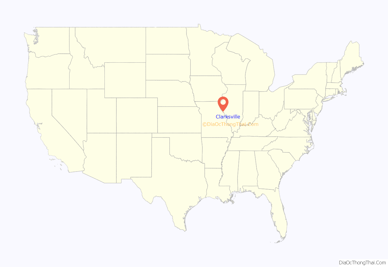
Clarksville location map. Where is Clarksville city?
History
Clarksville was platted in 1819. The city was named for William Clark, governor of the territory at that time.
The Clarksville Historic District, Clifford-Wyrick House, Lock and Dam No. 24 Historic District, Northern Methodist Episcopal Church of Clarksville, and Turner-Pharr House are listed on the National Register of Historic Places.
Clarksville celebrated its bicentennial in 2017.
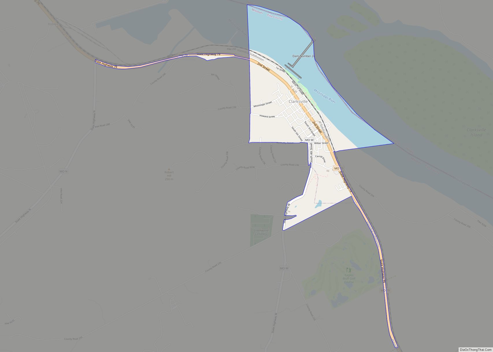
Clarksville Road Map
Clarksville city Satellite Map
Geography
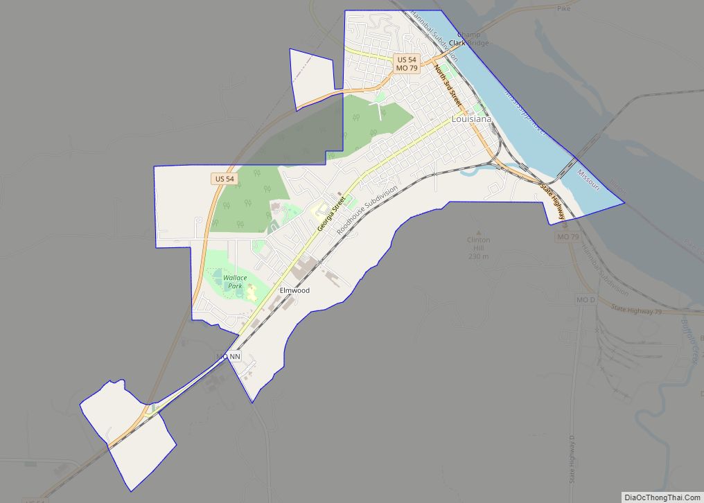
Clarksville is located adjacent to the Mississippi River and is on State Route 79 about nine miles southeast of Louisiana, Missouri. Clarksville Island is in the Mississippi east of the Missouri-Illinois state line.
According to the United States Census Bureau, the city has a total area of 0.82 square miles (2.12 km), of which 0.46 square miles (1.19 km) is land and 0.36 square miles (0.93 km) is water.
See also
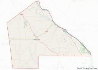
Map of Missouri State and its subdivision:- Adair
- Andrew
- Atchison
- Audrain
- Barry
- Barton
- Bates
- Benton
- Bollinger
- Boone
- Buchanan
- Butler
- Caldwell
- Callaway
- Camden
- Cape Girardeau
- Carroll
- Carter
- Cass
- Cedar
- Chariton
- Christian
- Clark
- Clay
- Clinton
- Cole
- Cooper
- Crawford
- Dade
- Dallas
- Daviess
- De Kalb
- Dent
- Douglas
- Dunklin
- Franklin
- Gasconade
- Gentry
- Greene
- Grundy
- Harrison
- Henry
- Hickory
- Holt
- Howard
- Howell
- Iron
- Jackson
- Jasper
- Jefferson
- Johnson
- Knox
- Laclede
- Lafayette
- Lawrence
- Lewis
- Lincoln
- Linn
- Livingston
- Macon
- Madison
- Maries
- Marion
- McDonald
- Mercer
- Miller
- Mississippi
- Moniteau
- Monroe
- Montgomery
- Morgan
- New Madrid
- Newton
- Nodaway
- Oregon
- Osage
- Ozark
- Pemiscot
- Perry
- Pettis
- Phelps
- Pike
- Platte
- Polk
- Pulaski
- Putnam
- Ralls
- Randolph
- Ray
- Reynolds
- Ripley
- Saint Charles
- Saint Clair
- Saint Francois
- Saint Louis
- Sainte Genevieve
- Saline
- Schuyler
- Scotland
- Scott
- Shannon
- Shelby
- Stoddard
- Stone
- Sullivan
- Taney
- Texas
- Vernon
- Warren
- Washington
- Wayne
- Webster
- Worth
- Wright
- Alabama
- Alaska
- Arizona
- Arkansas
- California
- Colorado
- Connecticut
- Delaware
- District of Columbia
- Florida
- Georgia
- Hawaii
- Idaho
- Illinois
- Indiana
- Iowa
- Kansas
- Kentucky
- Louisiana
- Maine
- Maryland
- Massachusetts
- Michigan
- Minnesota
- Mississippi
- Missouri
- Montana
- Nebraska
- Nevada
- New Hampshire
- New Jersey
- New Mexico
- New York
- North Carolina
- North Dakota
- Ohio
- Oklahoma
- Oregon
- Pennsylvania
- Rhode Island
- South Carolina
- South Dakota
- Tennessee
- Texas
- Utah
- Vermont
- Virginia
- Washington
- West Virginia
- Wisconsin
- Wyoming
