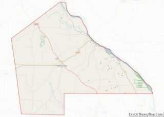
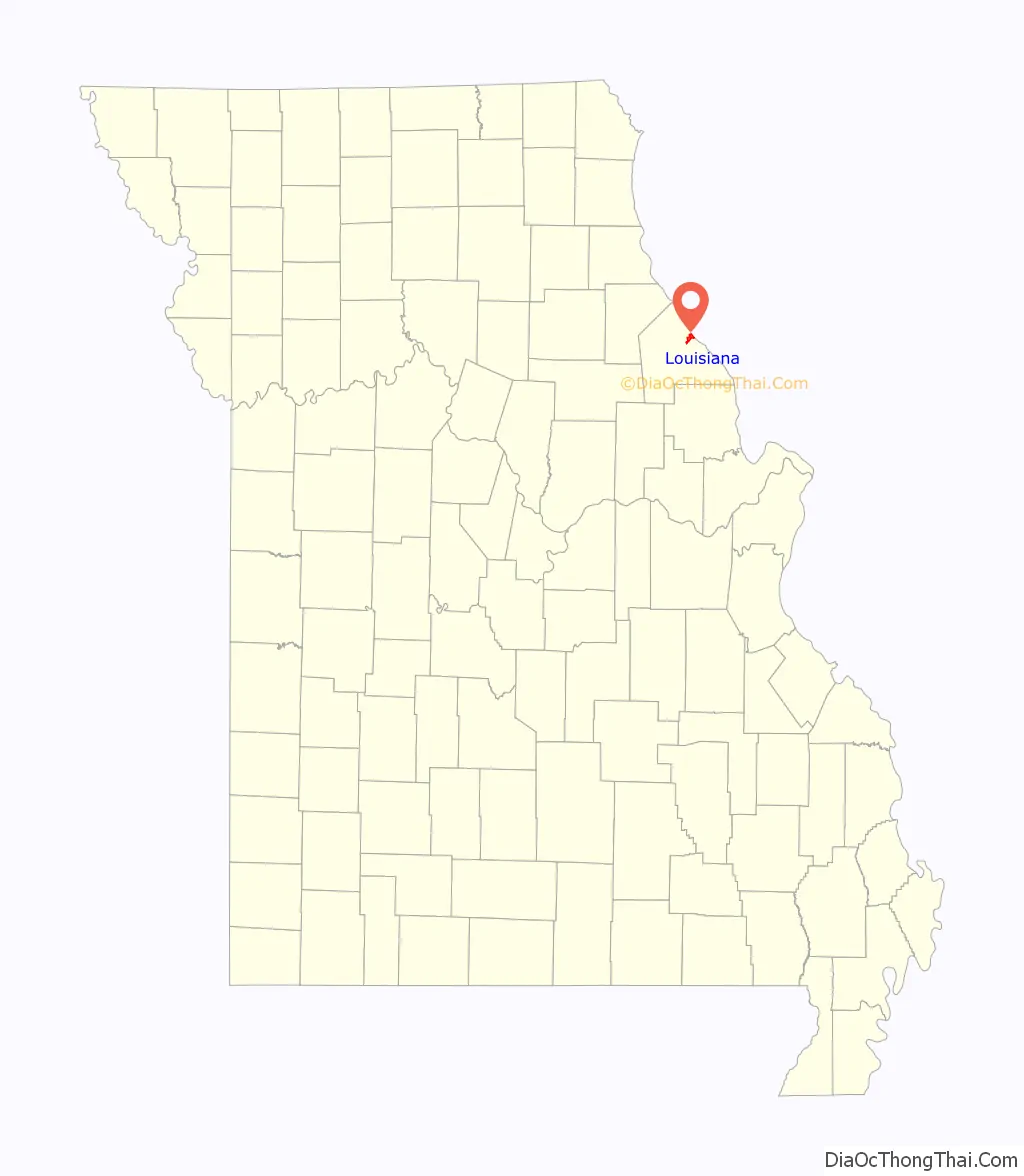
Louisiana is a city in Pike County, Missouri, United States. The population was 3,364 at the 2010 census. Louisiana is located in northeast Missouri, on the Mississippi River, south of Hannibal.
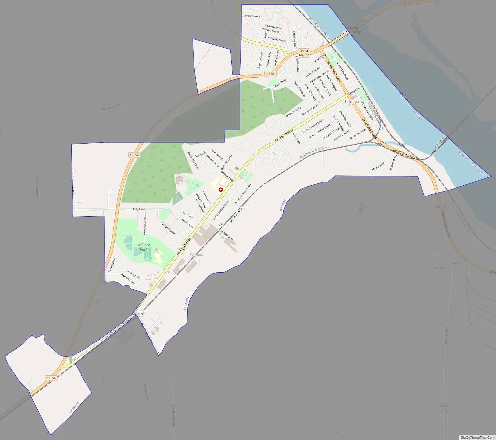
Louisiana is located at the junction of State Route 79 and US 54. The former follows the Mississippi River for most of its length from Hannibal to St. Charles County. The latter enters Louisiana from Illinois via the Champ Clark Bridge, named for a former US Speaker of the House from nearby Bowling Green.
| Name: | Louisiana city |
|---|---|
| LSAD Code: | 25 |
| LSAD Description: | city (suffix) |
| State: | Missouri |
| County: | Pike County |
| Elevation: | 492 ft (150 m) |
| Total Area: | 3.42 sq mi (8.86 km²) |
| Land Area: | 3.13 sq mi (8.12 km²) |
| Water Area: | 0.29 sq mi (0.75 km²) |
| Total Population: | 3,199 |
| Population Density: | 1,020.74/sq mi (394.11/km²) |
| ZIP code: | 63353 |
| Area code: | 573 |
| FIPS code: | 2944174 |
| GNISfeature ID: | 2395770 |
| Website: | www.louisiana-mo.com |
Online Interactive Map
Click on ![]() to view map in "full screen" mode.
to view map in "full screen" mode.
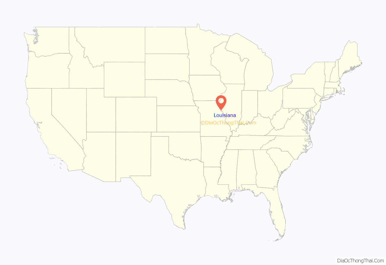
Louisiana location map. Where is Louisiana city?
History
The town was founded in 1816 by John Walter Basye and named after his daughter, Louisiana Basye. Other notable early residents were Samuel Caldwell and Joel Shaw, both of whom purchased land from Basye in 1818. All three properties became the original town plat and comprised mainly riverfront properties. Many of the town’s residents trace their ancestry to these town pioneers. Louisiana proved to be a profitable shipping point on the Mississippi River, and that wealth led to numerous substantial antebellum homes. Many of those still remain and, along with the Georgia Street Historic District in downtown Louisiana, are listed on the National Register of Historic Places. The Missouri Department of Natural Resources has noted that the town has “the most intact Victorian Streetscape in the state of Missouri.”
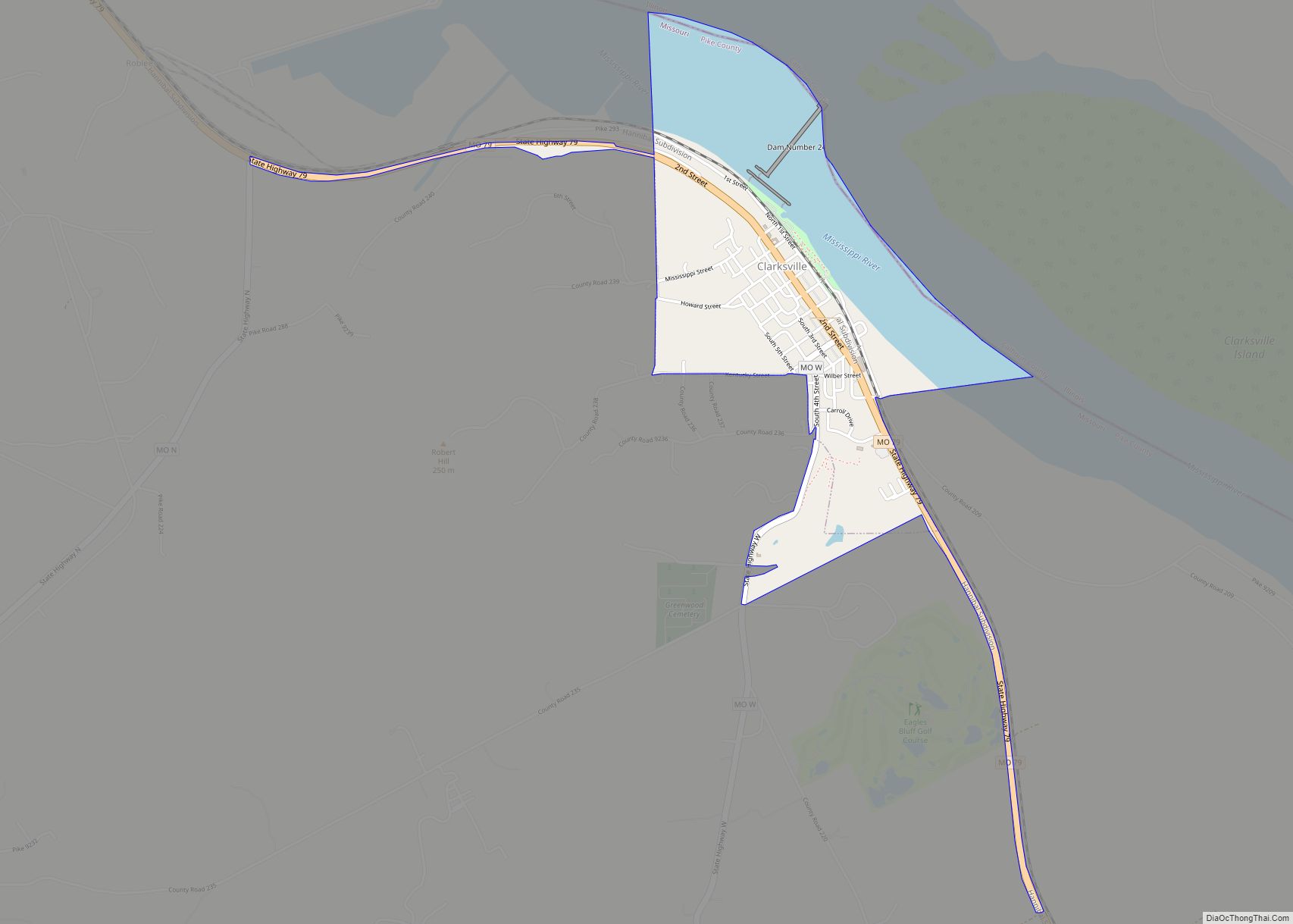
Louisiana is one of three communities forming the 50 Miles of Art corridor, linked by history, heritage and Route 79; Louisiana, Clarksville and Hannibal are home to many artists, crafts-persons and artisans. The community is also home to the annual Louisiana Country Colorfest.
In 1946, the town was the site of a Fischer-Tropsch plant capable of producing liquid hydrocarbon fuels. Seven scientists brought into the United States by Operation Paperclip from Nazi Germany took part in the research.
Louisiana hopes to be part of the “green energy” revolution as a former ammonia plant has been converted for the study and production of synthetic fuels. The city is also the headquarters on Lens.com.
Louisiana is home to Pike County’s largest festival, the Louisiana Country Colorfest, that began in 1984. The event is held the third weekend in October and is attended by over 8,000 people annually.
In addition to the Georgia Street Historic District, the Charles Bacon House, Capt. George and Attella Barnard House, Bethel Chapel AME Church, City Market, Goodman-Stark House, Louisiana Chicago & Alton Railroad Depot, Louisiana Public Library, North Third Street Historic District, Pike County Hospital, and Gov. Lloyd Crow Stark House and Carriage House are listed on the National Register of Historic Places.
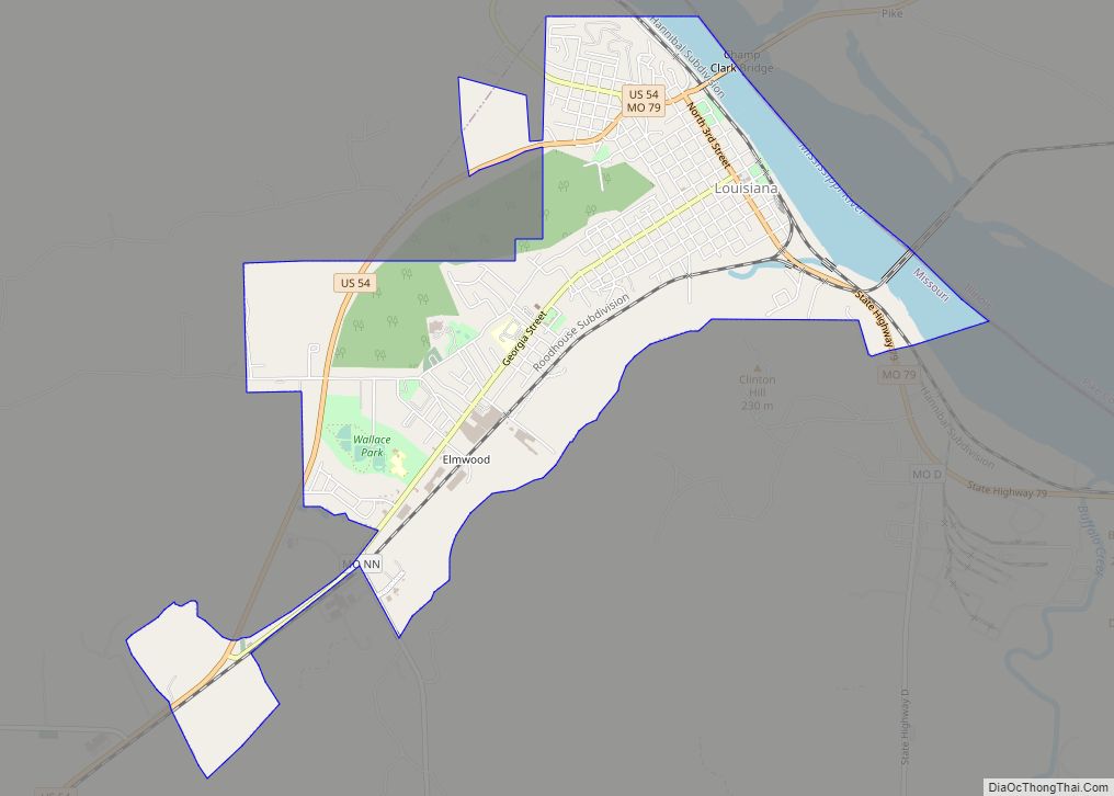
Louisiana Road Map
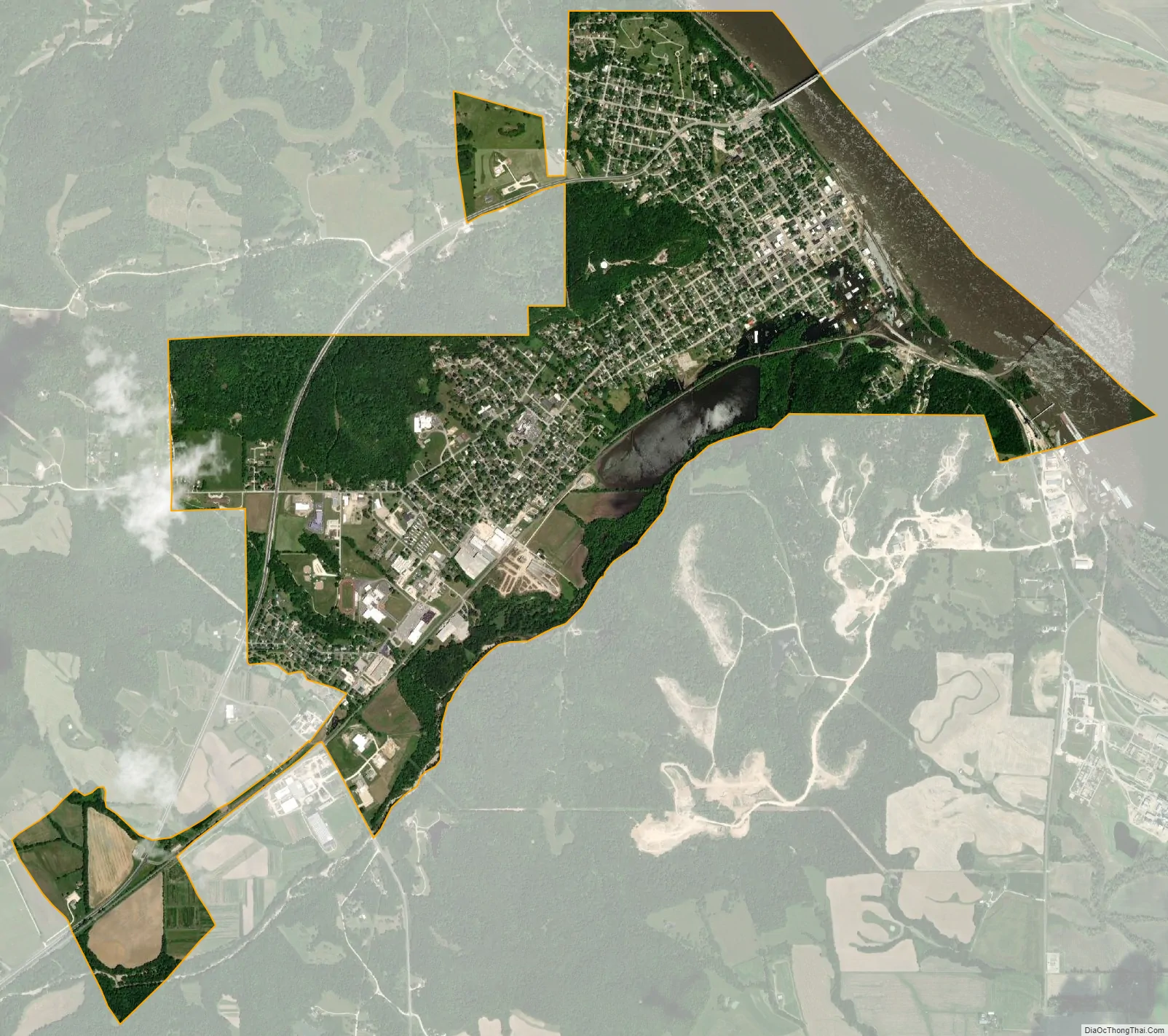
Louisiana city Satellite Map
Geography
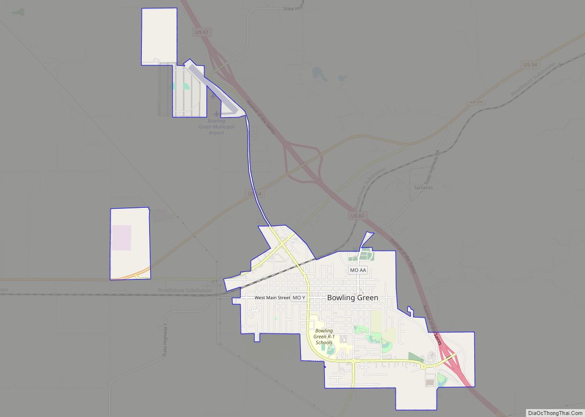
The city is in northern Pike County on the Mississippi River. The city is served by U.S. Route 54 and Missouri Route 79. Bowling Green lies about ten miles to the southwest on route 54 and the town of Pike, Illinois lies across the river to the northeast. Clarksville is about nine miles to the southeast along route 79.
According to the United States Census Bureau, the city has a total area of 3.42 square miles (8.86 km), of which 3.13 square miles (8.11 km) is land and 0.29 square miles (0.75 km) is water.
See also
Map of Missouri State and its subdivision:- Adair
- Andrew
- Atchison
- Audrain
- Barry
- Barton
- Bates
- Benton
- Bollinger
- Boone
- Buchanan
- Butler
- Caldwell
- Callaway
- Camden
- Cape Girardeau
- Carroll
- Carter
- Cass
- Cedar
- Chariton
- Christian
- Clark
- Clay
- Clinton
- Cole
- Cooper
- Crawford
- Dade
- Dallas
- Daviess
- De Kalb
- Dent
- Douglas
- Dunklin
- Franklin
- Gasconade
- Gentry
- Greene
- Grundy
- Harrison
- Henry
- Hickory
- Holt
- Howard
- Howell
- Iron
- Jackson
- Jasper
- Jefferson
- Johnson
- Knox
- Laclede
- Lafayette
- Lawrence
- Lewis
- Lincoln
- Linn
- Livingston
- Macon
- Madison
- Maries
- Marion
- McDonald
- Mercer
- Miller
- Mississippi
- Moniteau
- Monroe
- Montgomery
- Morgan
- New Madrid
- Newton
- Nodaway
- Oregon
- Osage
- Ozark
- Pemiscot
- Perry
- Pettis
- Phelps
- Pike
- Platte
- Polk
- Pulaski
- Putnam
- Ralls
- Randolph
- Ray
- Reynolds
- Ripley
- Saint Charles
- Saint Clair
- Saint Francois
- Saint Louis
- Sainte Genevieve
- Saline
- Schuyler
- Scotland
- Scott
- Shannon
- Shelby
- Stoddard
- Stone
- Sullivan
- Taney
- Texas
- Vernon
- Warren
- Washington
- Wayne
- Webster
- Worth
- Wright
- Alabama
- Alaska
- Arizona
- Arkansas
- California
- Colorado
- Connecticut
- Delaware
- District of Columbia
- Florida
- Georgia
- Hawaii
- Idaho
- Illinois
- Indiana
- Iowa
- Kansas
- Kentucky
- Louisiana
- Maine
- Maryland
- Massachusetts
- Michigan
- Minnesota
- Mississippi
- Missouri
- Montana
- Nebraska
- Nevada
- New Hampshire
- New Jersey
- New Mexico
- New York
- North Carolina
- North Dakota
- Ohio
- Oklahoma
- Oregon
- Pennsylvania
- Rhode Island
- South Carolina
- South Dakota
- Tennessee
- Texas
- Utah
- Vermont
- Virginia
- Washington
- West Virginia
- Wisconsin
- Wyoming