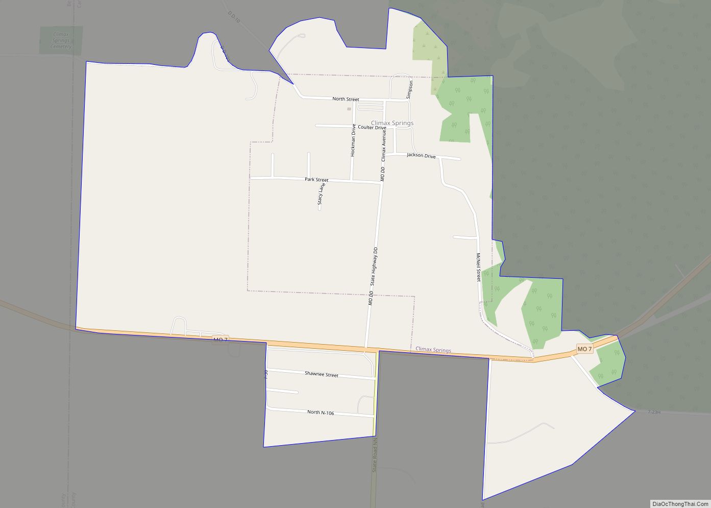
Climax Springs is a census-designated place and former village in Camden County, Missouri, United States. The population was 124 at the 2010 census.
| Name: | Climax Springs CDP |
|---|---|
| LSAD Code: | 57 |
| LSAD Description: | CDP (suffix) |
| State: | Missouri |
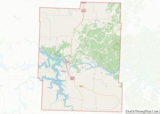
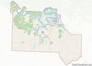
| County: | Benton County, Camden County |
| Elevation: | 971 ft (296 m) |
| Total Area: | 0.81 sq mi (2.09 km²) |
| Land Area: | 0.81 sq mi (2.09 km²) |
| Water Area: | 0.00 sq mi (0.00 km²) |
| Total Population: | 118 |
| Population Density: | 146.22/sq mi (56.49/km²) |
| ZIP code: | 65324 |
| Area code: | 573 |
| FIPS code: | 2914914 |
| GNISfeature ID: | 0755543 |
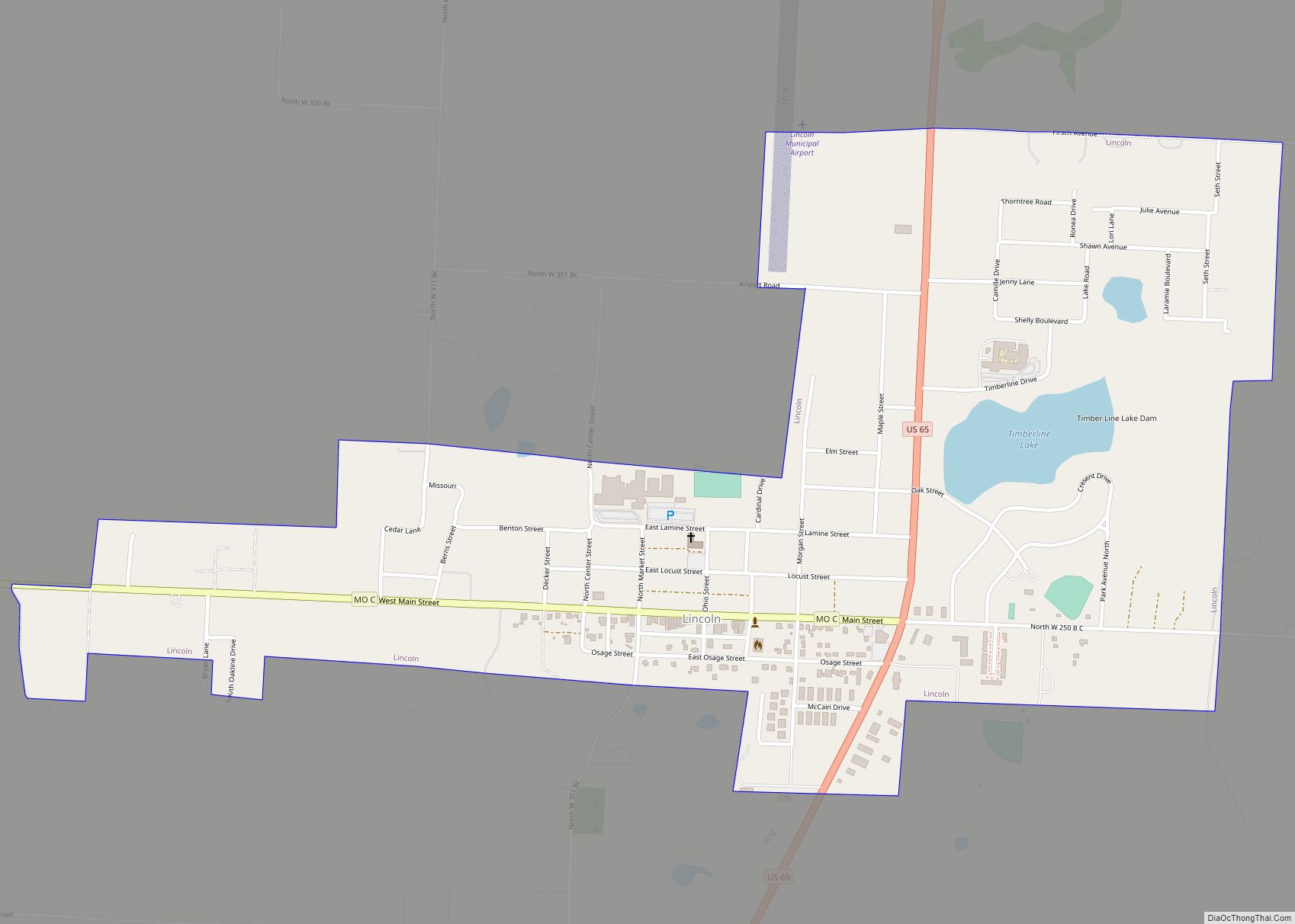
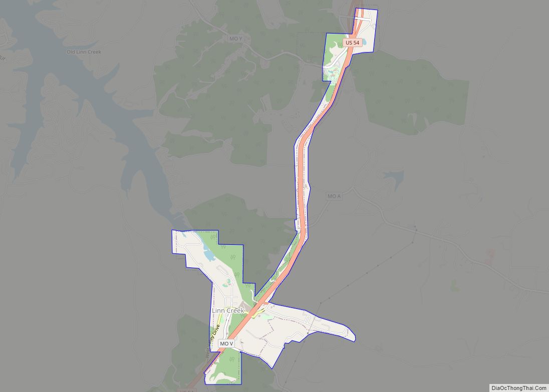
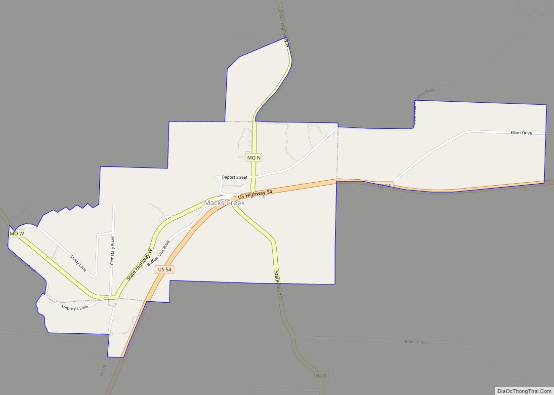
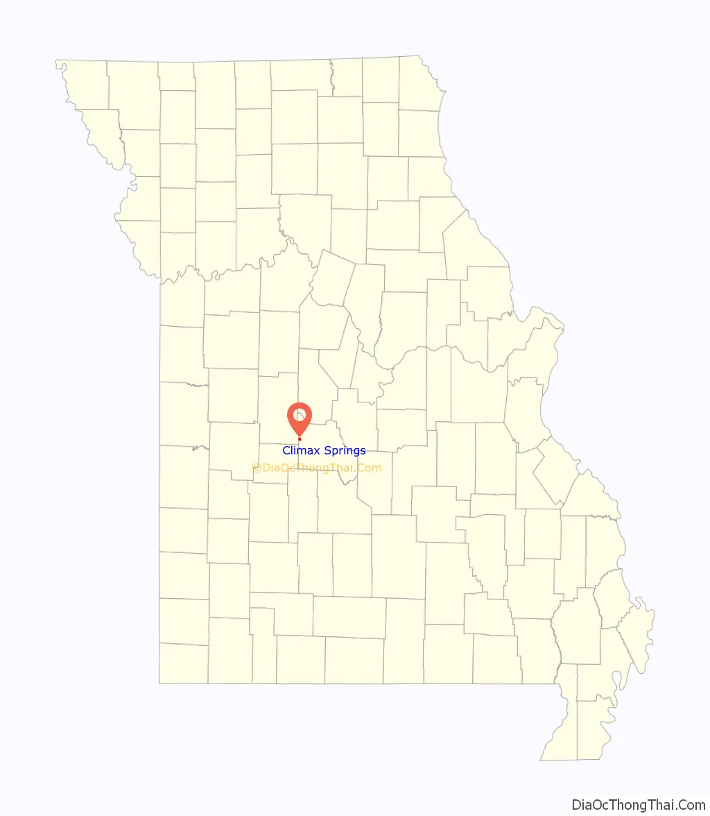
Online Interactive Map
Click on ![]() to view map in "full screen" mode.
to view map in "full screen" mode.
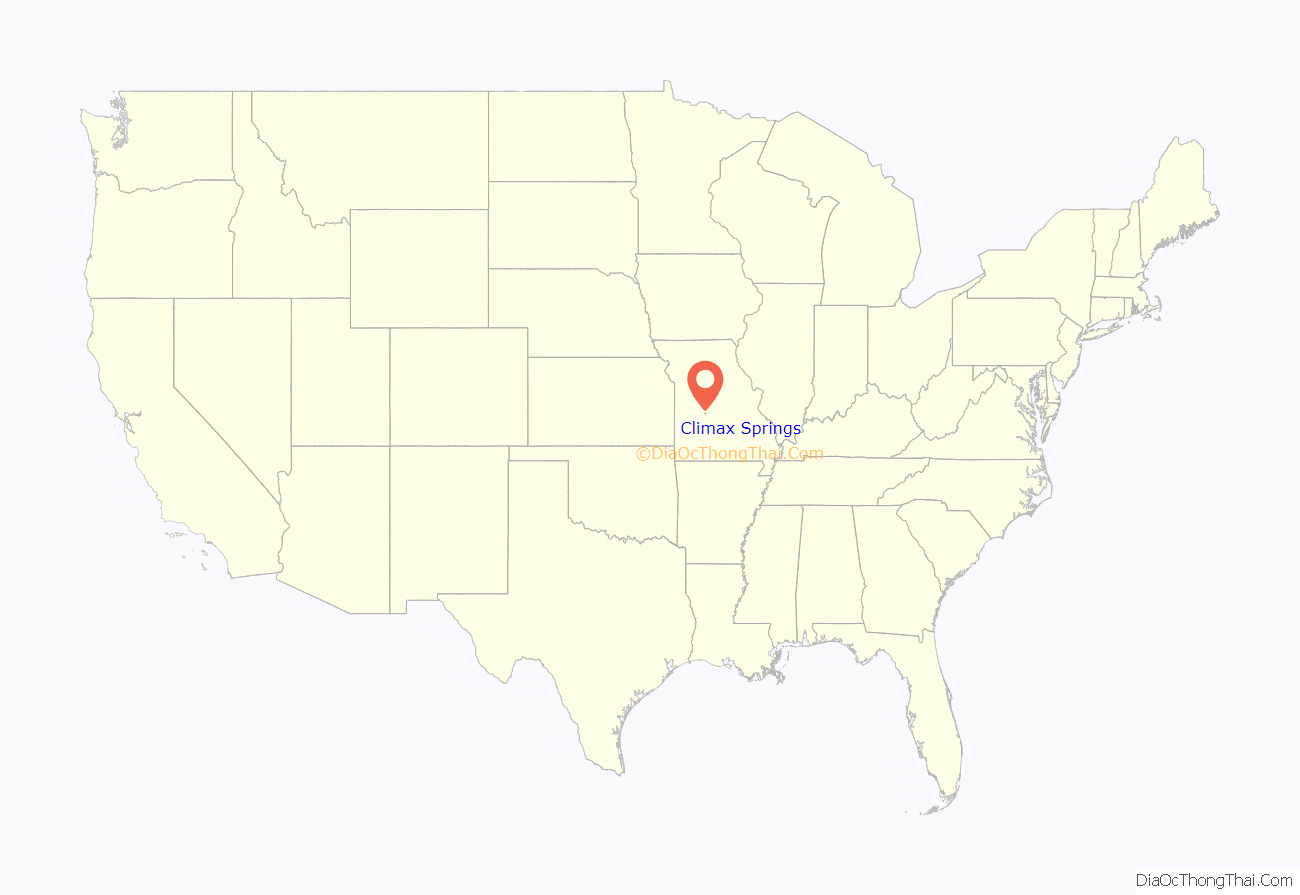
Climax Springs location map. Where is Climax Springs CDP?
History
A post office called Climax was established in 1883, and the name was changed to Climax Springs in 1886. The community took its name from a mineral spring near the original town site. According to tradition, an enthusiastic settler cried “that caps the climax!” upon discovering the spring and realizing its potential as a mineral spa.
In 2015, Climax Springs disincorporated.
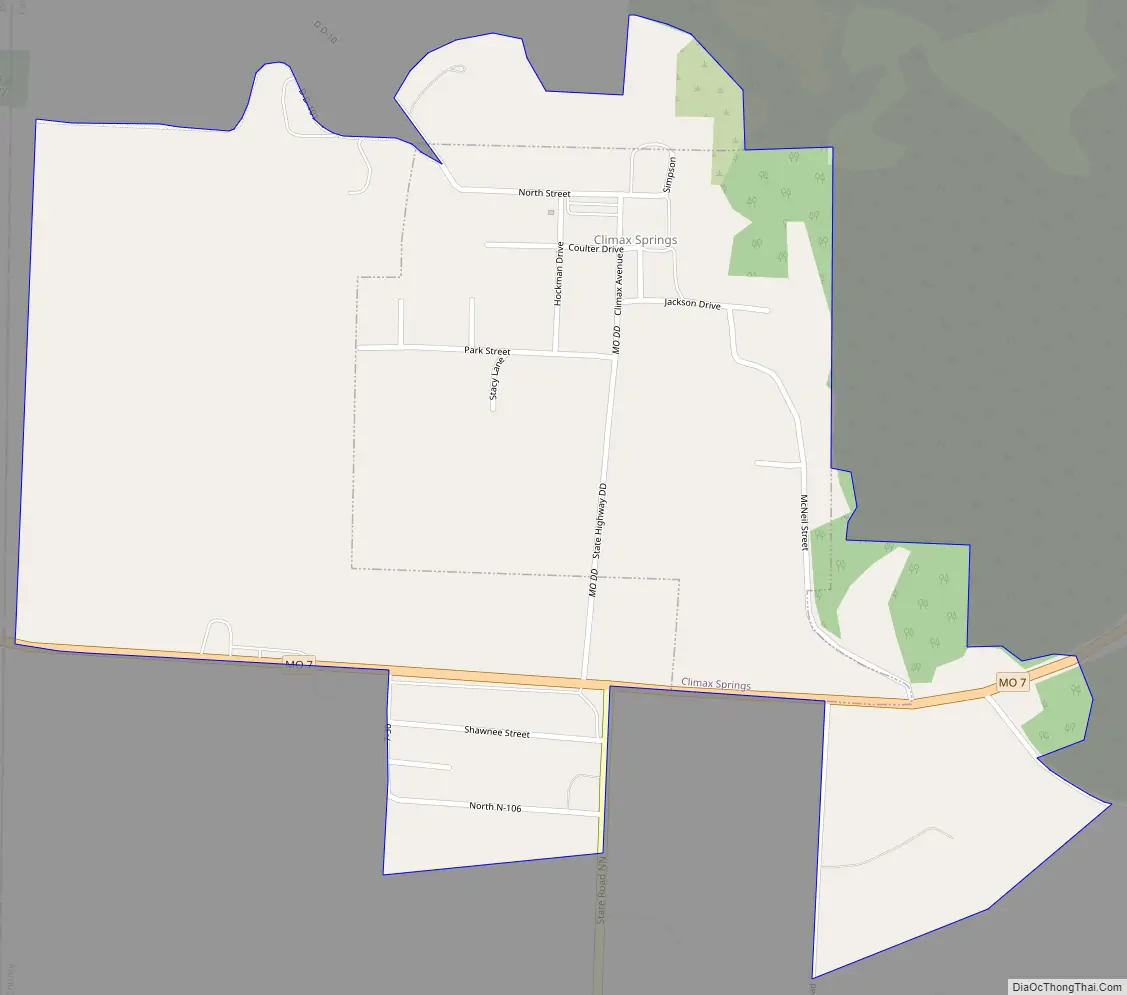
Climax Springs Road Map
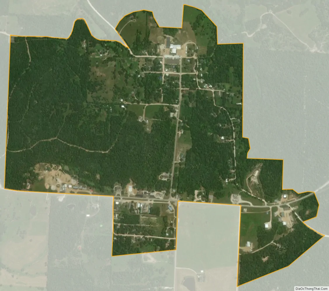
Climax Springs city Satellite Map
Geography
Climax Springs is located just north of Missouri Route 7 one half mile east of the Camden-Benton county line. The Lake of the Ozarks lies approximately six miles to the northeast.
According to the United States Census Bureau, the village has a total area of 0.46 square miles (1.19 km), all land. The town is located on a ridge-like landform in the northern Ozarks. It is approximately six miles south of the Lake of the Ozarks, and about 4 miles north of the Little Niangua River. The area just southeast of Climax Springs is called Kolb Hollow, with Kolb Branch running through it.
See also
Map of Missouri State and its subdivision:- Adair
- Andrew
- Atchison
- Audrain
- Barry
- Barton
- Bates
- Benton
- Bollinger
- Boone
- Buchanan
- Butler
- Caldwell
- Callaway
- Camden
- Cape Girardeau
- Carroll
- Carter
- Cass
- Cedar
- Chariton
- Christian
- Clark
- Clay
- Clinton
- Cole
- Cooper
- Crawford
- Dade
- Dallas
- Daviess
- De Kalb
- Dent
- Douglas
- Dunklin
- Franklin
- Gasconade
- Gentry
- Greene
- Grundy
- Harrison
- Henry
- Hickory
- Holt
- Howard
- Howell
- Iron
- Jackson
- Jasper
- Jefferson
- Johnson
- Knox
- Laclede
- Lafayette
- Lawrence
- Lewis
- Lincoln
- Linn
- Livingston
- Macon
- Madison
- Maries
- Marion
- McDonald
- Mercer
- Miller
- Mississippi
- Moniteau
- Monroe
- Montgomery
- Morgan
- New Madrid
- Newton
- Nodaway
- Oregon
- Osage
- Ozark
- Pemiscot
- Perry
- Pettis
- Phelps
- Pike
- Platte
- Polk
- Pulaski
- Putnam
- Ralls
- Randolph
- Ray
- Reynolds
- Ripley
- Saint Charles
- Saint Clair
- Saint Francois
- Saint Louis
- Sainte Genevieve
- Saline
- Schuyler
- Scotland
- Scott
- Shannon
- Shelby
- Stoddard
- Stone
- Sullivan
- Taney
- Texas
- Vernon
- Warren
- Washington
- Wayne
- Webster
- Worth
- Wright
- Alabama
- Alaska
- Arizona
- Arkansas
- California
- Colorado
- Connecticut
- Delaware
- District of Columbia
- Florida
- Georgia
- Hawaii
- Idaho
- Illinois
- Indiana
- Iowa
- Kansas
- Kentucky
- Louisiana
- Maine
- Maryland
- Massachusetts
- Michigan
- Minnesota
- Mississippi
- Missouri
- Montana
- Nebraska
- Nevada
- New Hampshire
- New Jersey
- New Mexico
- New York
- North Carolina
- North Dakota
- Ohio
- Oklahoma
- Oregon
- Pennsylvania
- Rhode Island
- South Carolina
- South Dakota
- Tennessee
- Texas
- Utah
- Vermont
- Virginia
- Washington
- West Virginia
- Wisconsin
- Wyoming