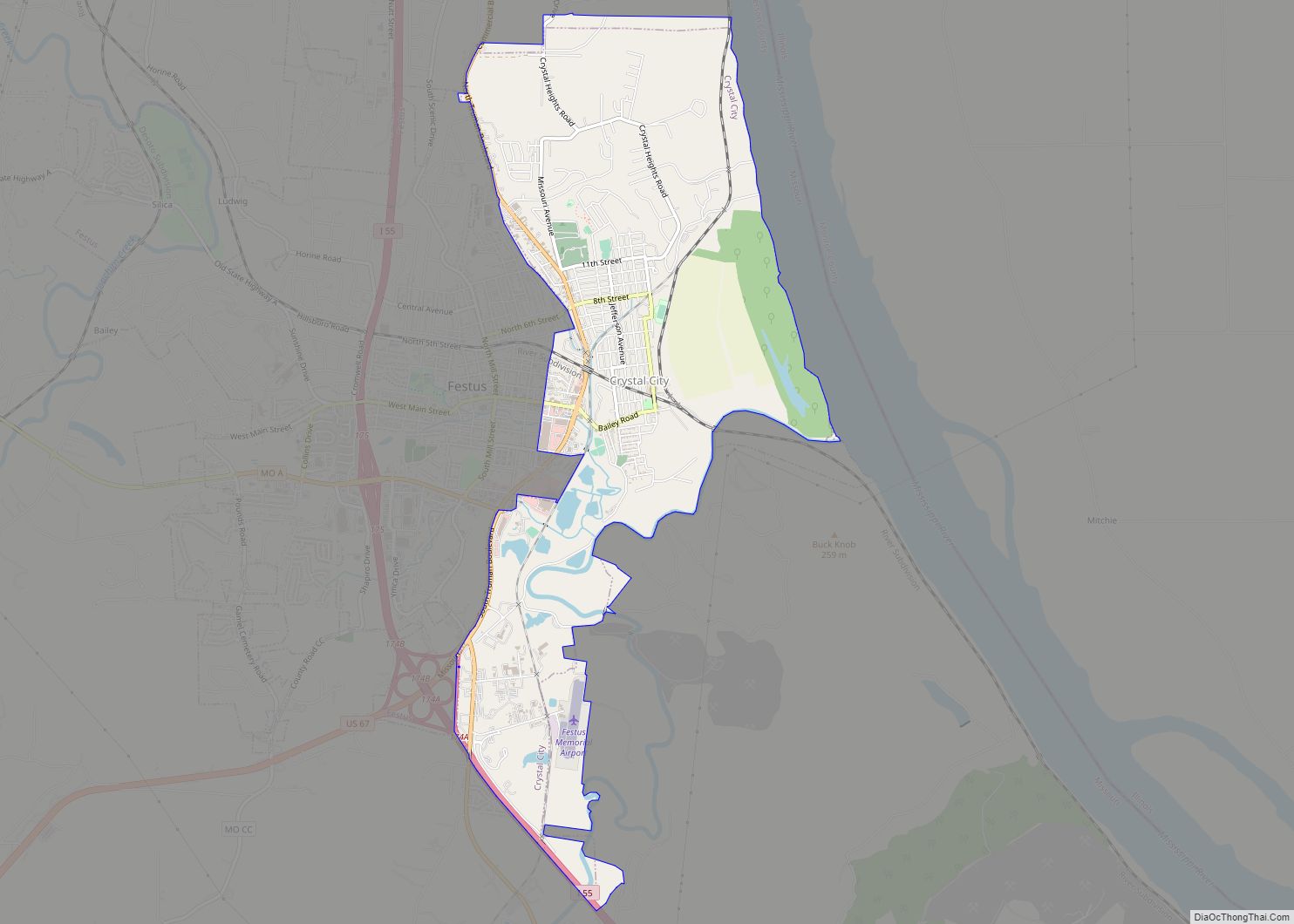
Crystal City is a city in eastern Jefferson County, Missouri, United States. The population was 4,855 at the 2010 census. It was 4,740 at the 2020 census.
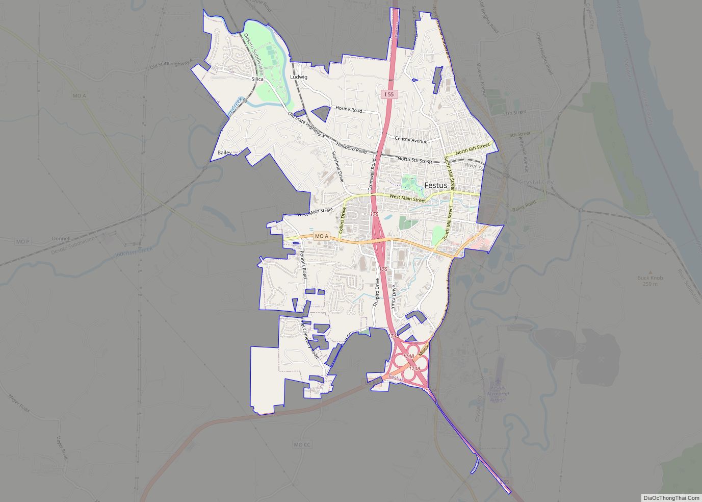
Crystal City and its neighbor Festus are often collectively known as the “Twin Cities”.
| Name: | Crystal City city |
|---|---|
| LSAD Code: | 25 |
| LSAD Description: | city (suffix) |
| State: | Missouri |
| County: | Jefferson County |
| Incorporated: | 1911 |
| Elevation: | 440 ft (130 m) |
| Total Area: | 4.52 sq mi (11.71 km²) |
| Land Area: | 4.51 sq mi (11.69 km²) |
| Water Area: | 0.01 sq mi (0.02 km²) |
| Total Population: | 4,740 |
| Population Density: | 1,049.83/sq mi (405.31/km²) |
| ZIP code: | 63019 |
| Area code: | 636 |
| FIPS code: | 2917632 |
| GNISfeature ID: | 2393684 |
| Website: | http://www.crystalcitymo.org |
Online Interactive Map
Click on ![]() to view map in "full screen" mode.
to view map in "full screen" mode.
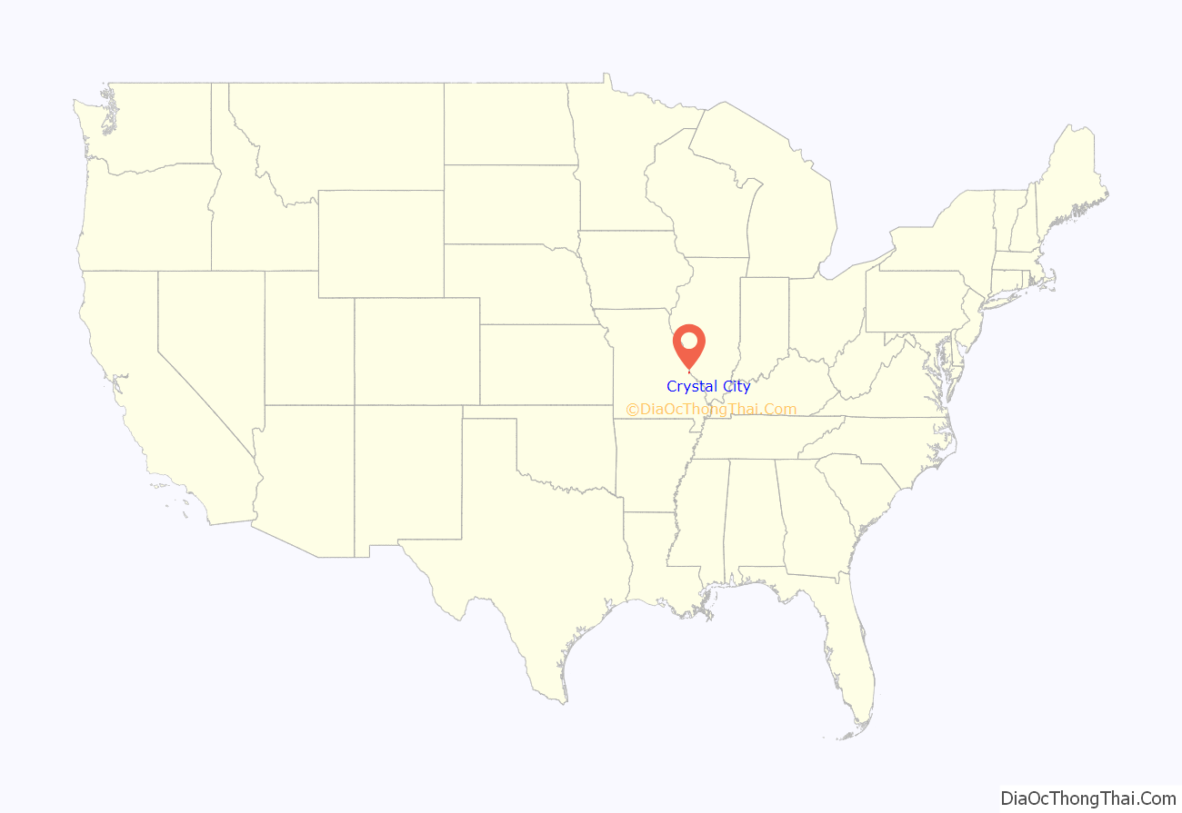
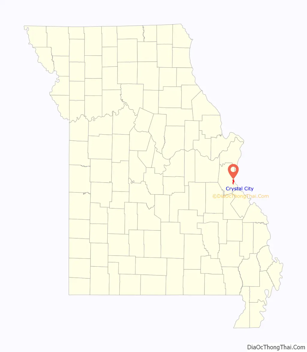
Crystal City location map. Where is Crystal City city?
History
Crystal City was originally called New Detroit. A post office called Crystal City has been in operation since 1872. In the 1860s, Pittsburgh Plate Glass Company opened a glass manufacturing plant, which is the origin of the city’s name. Currently, the PPG plant property remains empty and undeveloped. It was purchased by Wings Enterprises in the mid-2000s with the intentions of constructing an iron ore smelter on the property. In the early 2000s, the state of Missouri forced Doe Run Company to purchase 160 homes in Herculaneum after it was found over 56% of children within a quarter-mile (0.4 km) of the plant had high levels of lead in their blood. This prompted greater concern when Crystal City engaged in discussions over building a $1 billion dollar iron-ore smelter on the lands of the abandoned factory.
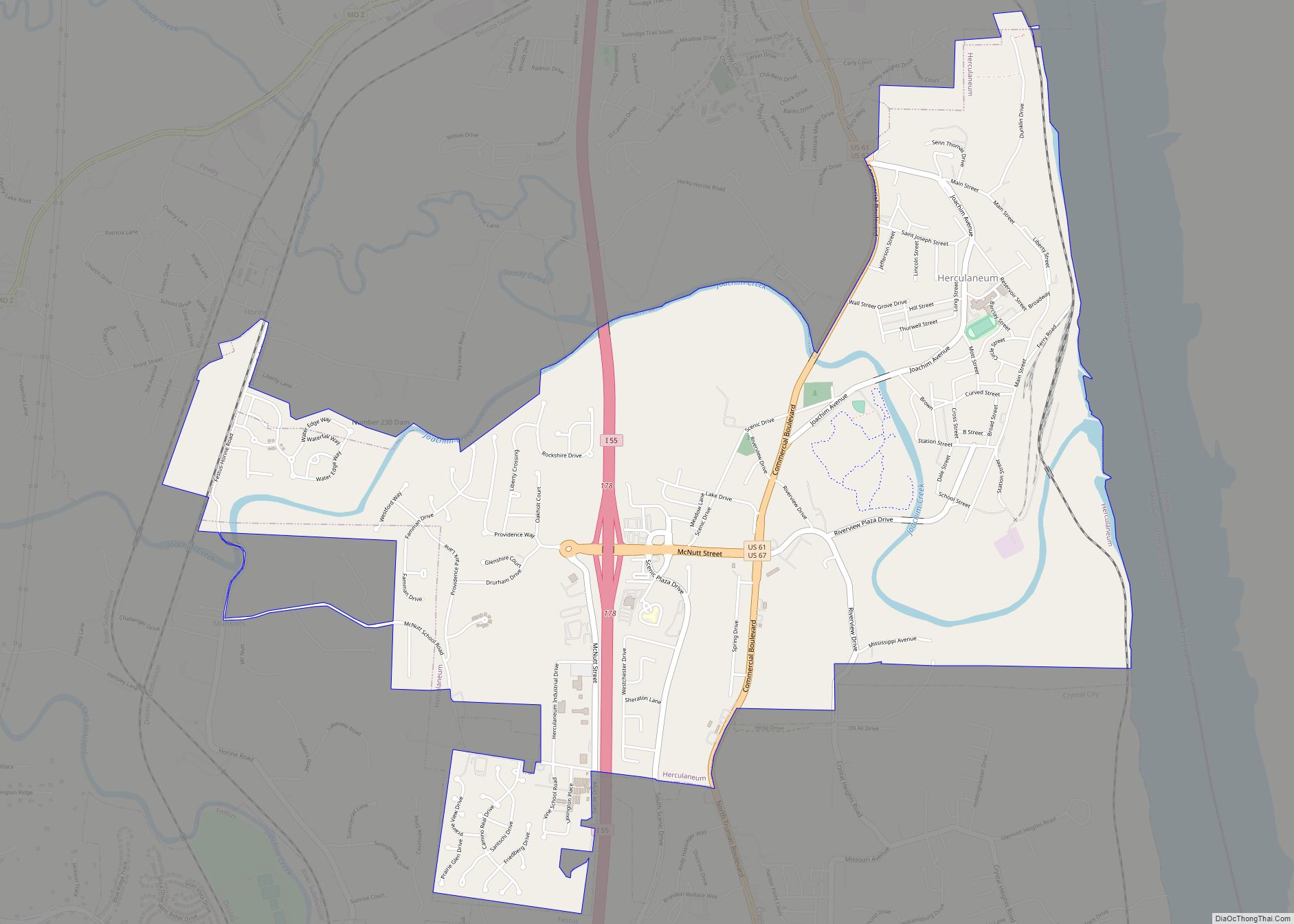
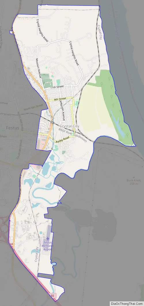
Crystal City Road Map
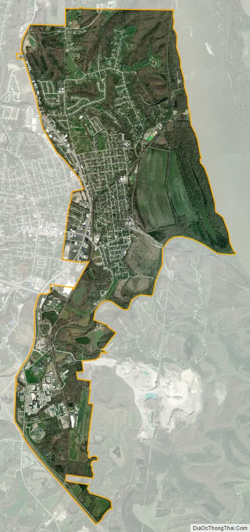
Crystal City city Satellite Map
Geography
Crystal City is located adjacent to the Mississippi River floodplain to the east and the city of Festus to the west.
According to the United States Census Bureau, the city has a total area of 4.57 square miles (11.84 km), of which 4.56 square miles (11.81 km) is land and 0.01 square miles (0.03 km) is water.
See also
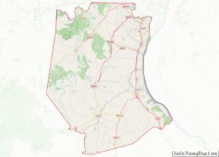
Map of Missouri State and its subdivision:- Adair
- Andrew
- Atchison
- Audrain
- Barry
- Barton
- Bates
- Benton
- Bollinger
- Boone
- Buchanan
- Butler
- Caldwell
- Callaway
- Camden
- Cape Girardeau
- Carroll
- Carter
- Cass
- Cedar
- Chariton
- Christian
- Clark
- Clay
- Clinton
- Cole
- Cooper
- Crawford
- Dade
- Dallas
- Daviess
- De Kalb
- Dent
- Douglas
- Dunklin
- Franklin
- Gasconade
- Gentry
- Greene
- Grundy
- Harrison
- Henry
- Hickory
- Holt
- Howard
- Howell
- Iron
- Jackson
- Jasper
- Jefferson
- Johnson
- Knox
- Laclede
- Lafayette
- Lawrence
- Lewis
- Lincoln
- Linn
- Livingston
- Macon
- Madison
- Maries
- Marion
- McDonald
- Mercer
- Miller
- Mississippi
- Moniteau
- Monroe
- Montgomery
- Morgan
- New Madrid
- Newton
- Nodaway
- Oregon
- Osage
- Ozark
- Pemiscot
- Perry
- Pettis
- Phelps
- Pike
- Platte
- Polk
- Pulaski
- Putnam
- Ralls
- Randolph
- Ray
- Reynolds
- Ripley
- Saint Charles
- Saint Clair
- Saint Francois
- Saint Louis
- Sainte Genevieve
- Saline
- Schuyler
- Scotland
- Scott
- Shannon
- Shelby
- Stoddard
- Stone
- Sullivan
- Taney
- Texas
- Vernon
- Warren
- Washington
- Wayne
- Webster
- Worth
- Wright
- Alabama
- Alaska
- Arizona
- Arkansas
- California
- Colorado
- Connecticut
- Delaware
- District of Columbia
- Florida
- Georgia
- Hawaii
- Idaho
- Illinois
- Indiana
- Iowa
- Kansas
- Kentucky
- Louisiana
- Maine
- Maryland
- Massachusetts
- Michigan
- Minnesota
- Mississippi
- Missouri
- Montana
- Nebraska
- Nevada
- New Hampshire
- New Jersey
- New Mexico
- New York
- North Carolina
- North Dakota
- Ohio
- Oklahoma
- Oregon
- Pennsylvania
- Rhode Island
- South Carolina
- South Dakota
- Tennessee
- Texas
- Utah
- Vermont
- Virginia
- Washington
- West Virginia
- Wisconsin
- Wyoming