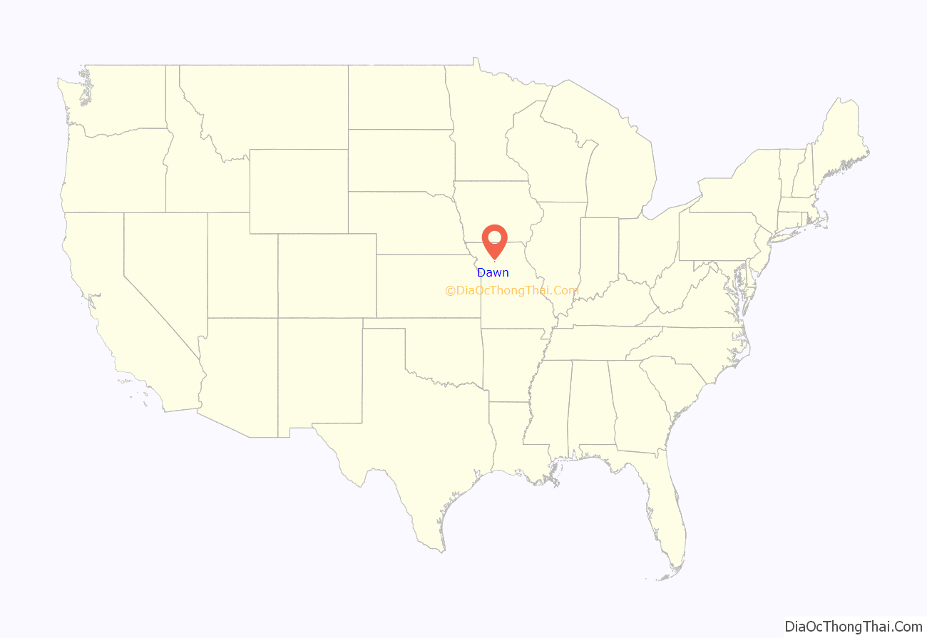
Dawn is an unincorporated community and census-designated place (CDP) in Livingston County, Missouri, United States. As of the 2020 census it had a population of 100.
Dawn was platted in 1853. A post office called Dawn has been in operation since 1852.
| Name: | Dawn CDP |
|---|---|
| LSAD Code: | 57 |
| LSAD Description: | CDP (suffix) |
| State: | Missouri |
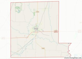
| County: | Livingston County |
| Elevation: | 728 ft (222 m) |
| Total Area: | 1.31 sq mi (3.39 km²) |
| Land Area: | 1.31 sq mi (3.39 km²) |
| Water Area: | 0.00 sq mi (0.00 km²) |
| Total Population: | 100 |
| Population Density: | 76.45/sq mi (29.51/km²) |
| ZIP code: | 64638 |
| Area code: | 660 |
| FIPS code: | 2918496 |
| GNISfeature ID: | 716744 |
Online Interactive Map
Click on ![]() to view map in "full screen" mode.
to view map in "full screen" mode.
Dawn location map. Where is Dawn CDP?
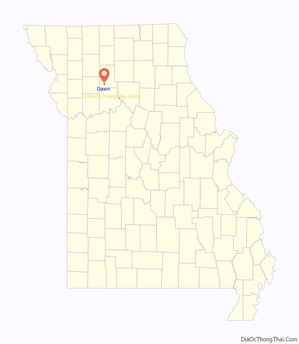
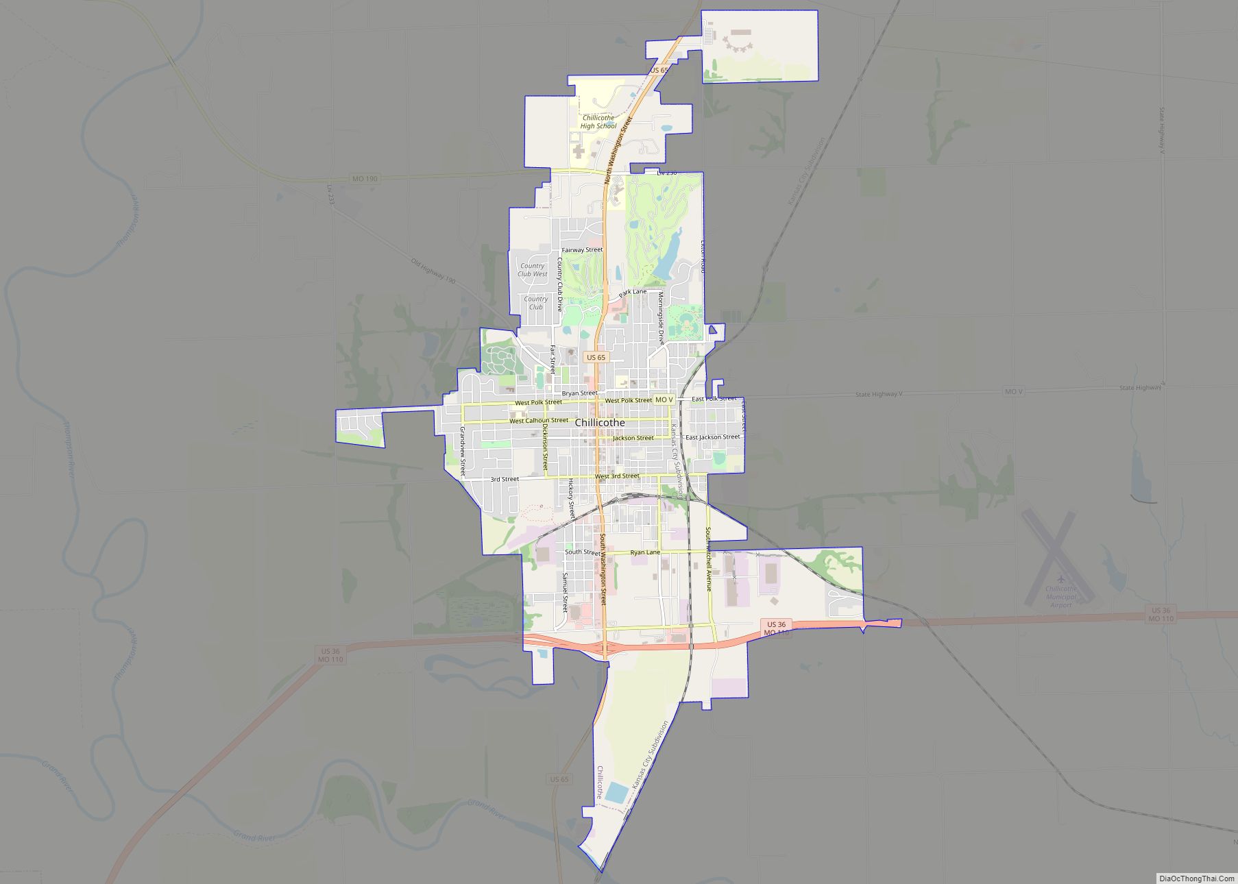
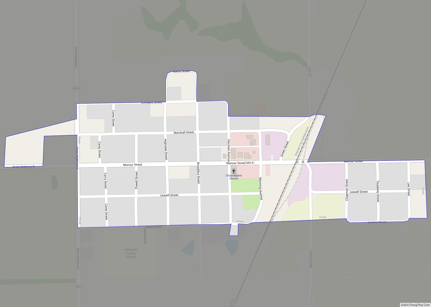
Dawn Road Map
Dawn city Satellite Map
Geography
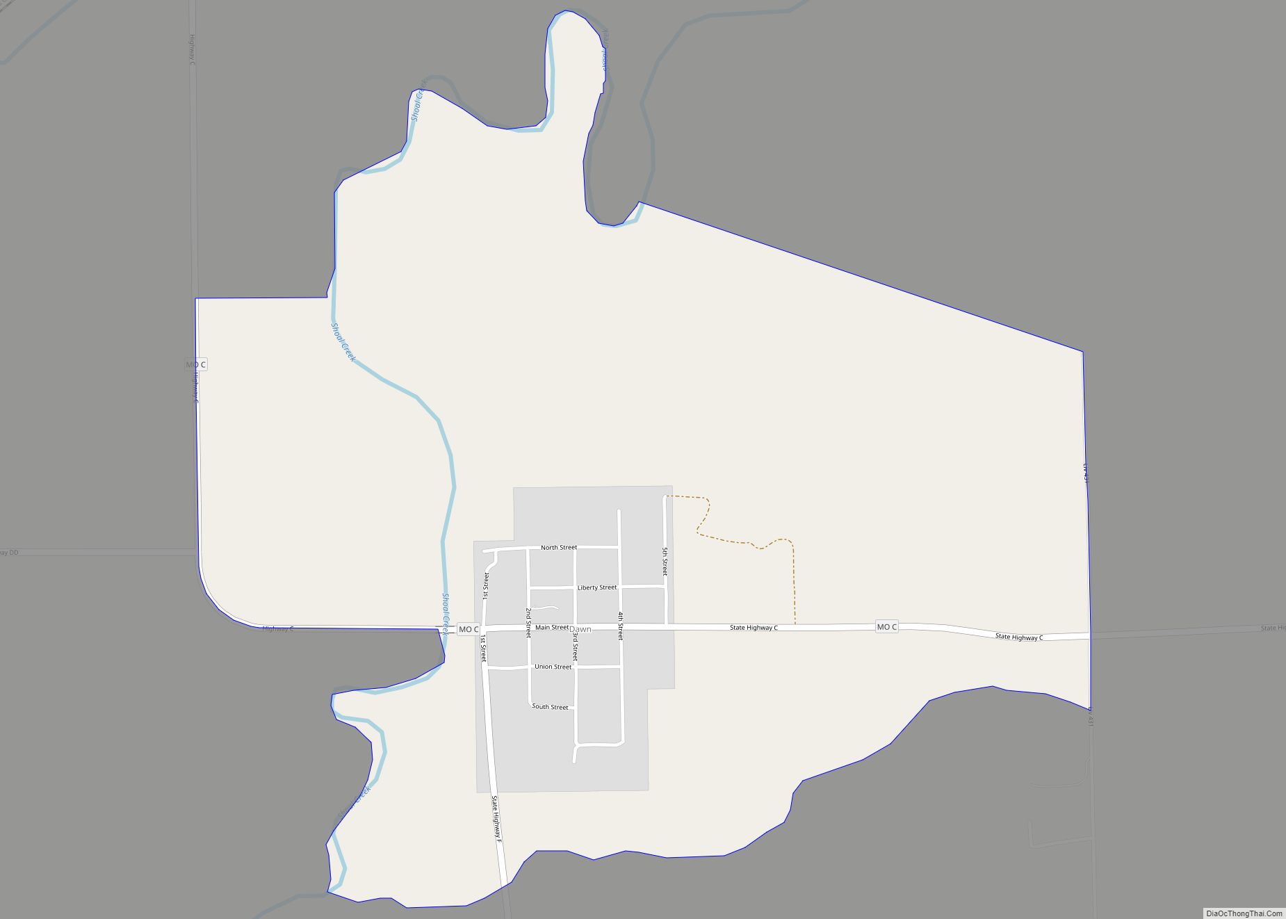
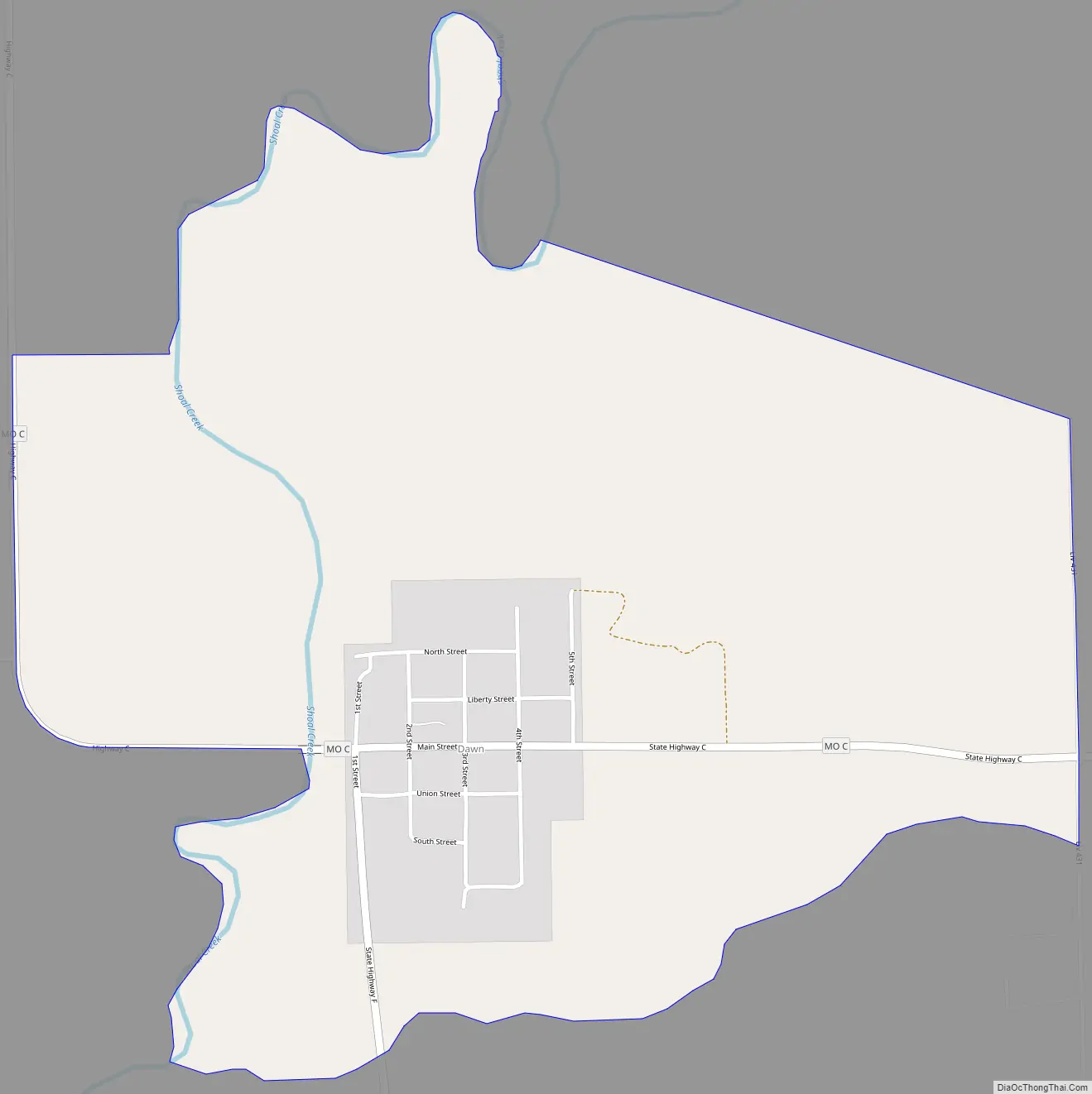
Dawn is located in southwestern Livingston County on Missouri Supplemental Route C, approximately 13 miles (21 km) southwest of Chillicothe, the county seat.
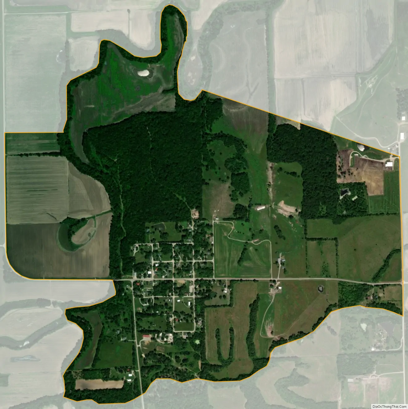
According to the U.S. Census Bureau, the Dawn CDP has an area of 1.3 square miles (3.4 km), all of it recorded as land. The community is on high ground on the east bank of Shoal Creek, a northeast-flowing tributary of the Grand River and part of the Missouri River watershed.
See also
Map of Missouri State and its subdivision:- Adair
- Andrew
- Atchison
- Audrain
- Barry
- Barton
- Bates
- Benton
- Bollinger
- Boone
- Buchanan
- Butler
- Caldwell
- Callaway
- Camden
- Cape Girardeau
- Carroll
- Carter
- Cass
- Cedar
- Chariton
- Christian
- Clark
- Clay
- Clinton
- Cole
- Cooper
- Crawford
- Dade
- Dallas
- Daviess
- De Kalb
- Dent
- Douglas
- Dunklin
- Franklin
- Gasconade
- Gentry
- Greene
- Grundy
- Harrison
- Henry
- Hickory
- Holt
- Howard
- Howell
- Iron
- Jackson
- Jasper
- Jefferson
- Johnson
- Knox
- Laclede
- Lafayette
- Lawrence
- Lewis
- Lincoln
- Linn
- Livingston
- Macon
- Madison
- Maries
- Marion
- McDonald
- Mercer
- Miller
- Mississippi
- Moniteau
- Monroe
- Montgomery
- Morgan
- New Madrid
- Newton
- Nodaway
- Oregon
- Osage
- Ozark
- Pemiscot
- Perry
- Pettis
- Phelps
- Pike
- Platte
- Polk
- Pulaski
- Putnam
- Ralls
- Randolph
- Ray
- Reynolds
- Ripley
- Saint Charles
- Saint Clair
- Saint Francois
- Saint Louis
- Sainte Genevieve
- Saline
- Schuyler
- Scotland
- Scott
- Shannon
- Shelby
- Stoddard
- Stone
- Sullivan
- Taney
- Texas
- Vernon
- Warren
- Washington
- Wayne
- Webster
- Worth
- Wright
- Alabama
- Alaska
- Arizona
- Arkansas
- California
- Colorado
- Connecticut
- Delaware
- District of Columbia
- Florida
- Georgia
- Hawaii
- Idaho
- Illinois
- Indiana
- Iowa
- Kansas
- Kentucky
- Louisiana
- Maine
- Maryland
- Massachusetts
- Michigan
- Minnesota
- Mississippi
- Missouri
- Montana
- Nebraska
- Nevada
- New Hampshire
- New Jersey
- New Mexico
- New York
- North Carolina
- North Dakota
- Ohio
- Oklahoma
- Oregon
- Pennsylvania
- Rhode Island
- South Carolina
- South Dakota
- Tennessee
- Texas
- Utah
- Vermont
- Virginia
- Washington
- West Virginia
- Wisconsin
- Wyoming