East Lynne is a city in eastern Cass County, Missouri The population was 303 at the 2010 census. It is part of the Kansas City metropolitan area within the United States.
| Name: | East Lynne city |
|---|---|
| LSAD Code: | 25 |
| LSAD Description: | city (suffix) |
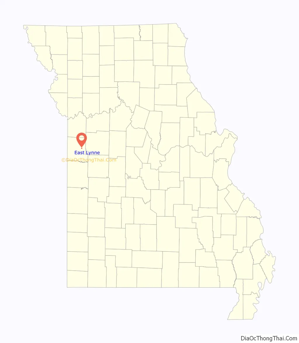
| State: | Missouri |
| County: | Cass County |
| Elevation: | 860 ft (260 m) |
| Total Area: | 0.33 sq mi (0.84 km²) |
| Land Area: | 0.33 sq mi (0.84 km²) |
| Water Area: | 0.00 sq mi (0.00 km²) |
| Total Population: | 294 |
| Population Density: | 901.84/sq mi (347.95/km²) |
| ZIP code: | 64743 |
| Area code: | 816 |
| FIPS code: | 2920980 |
| GNISfeature ID: | 2394601 |
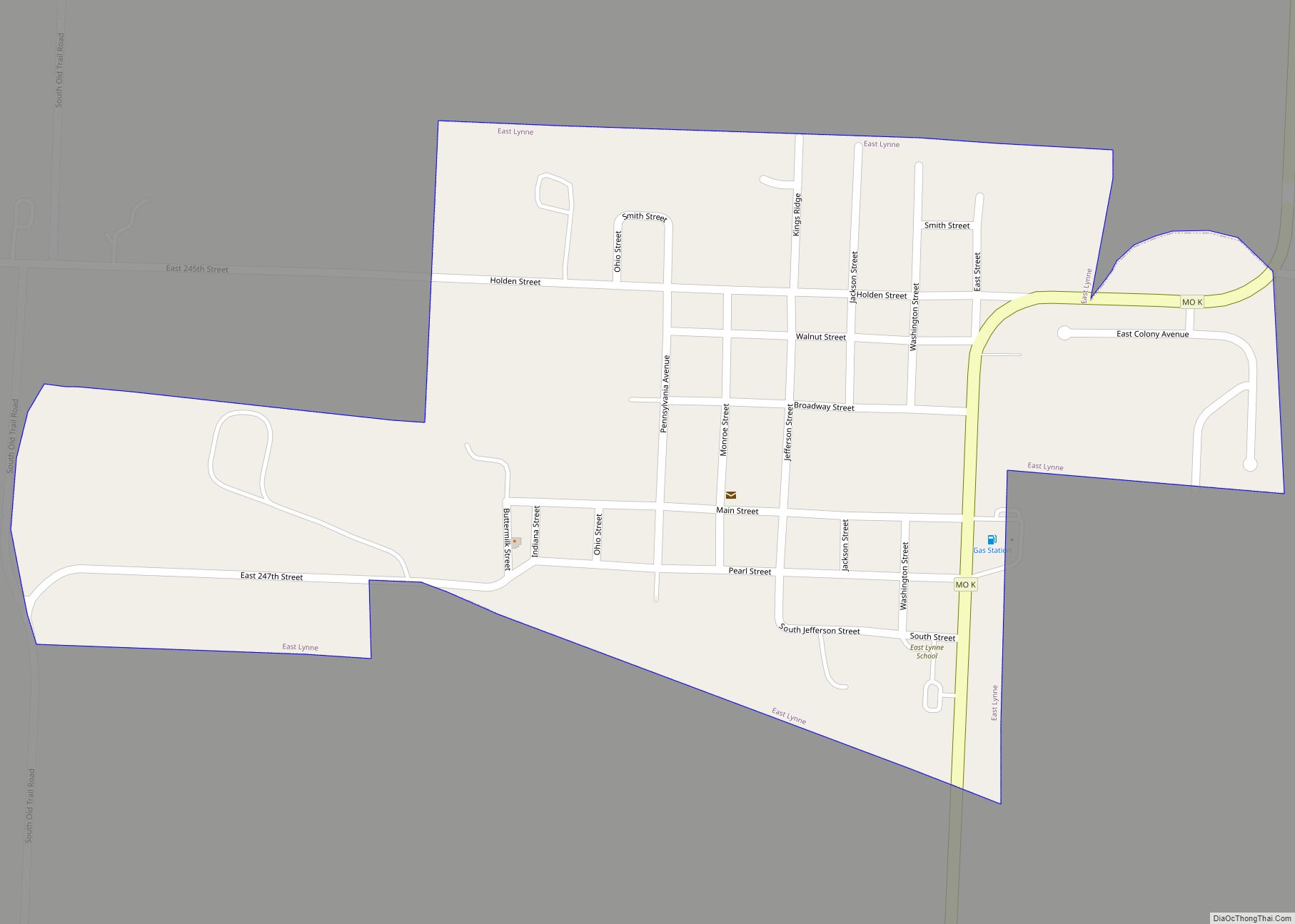
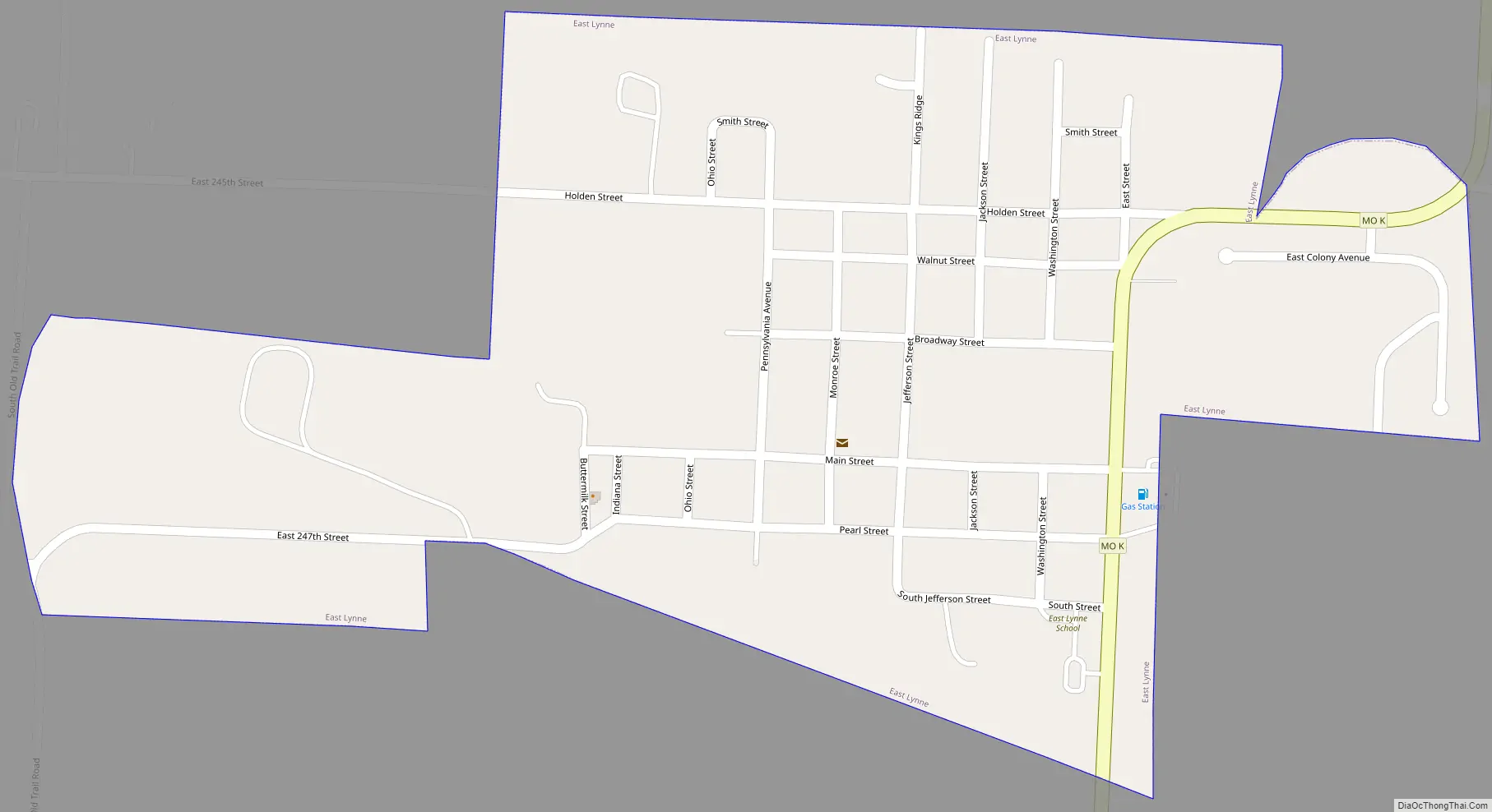
Online Interactive Map
Click on ![]() to view map in "full screen" mode.
to view map in "full screen" mode.
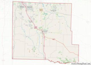
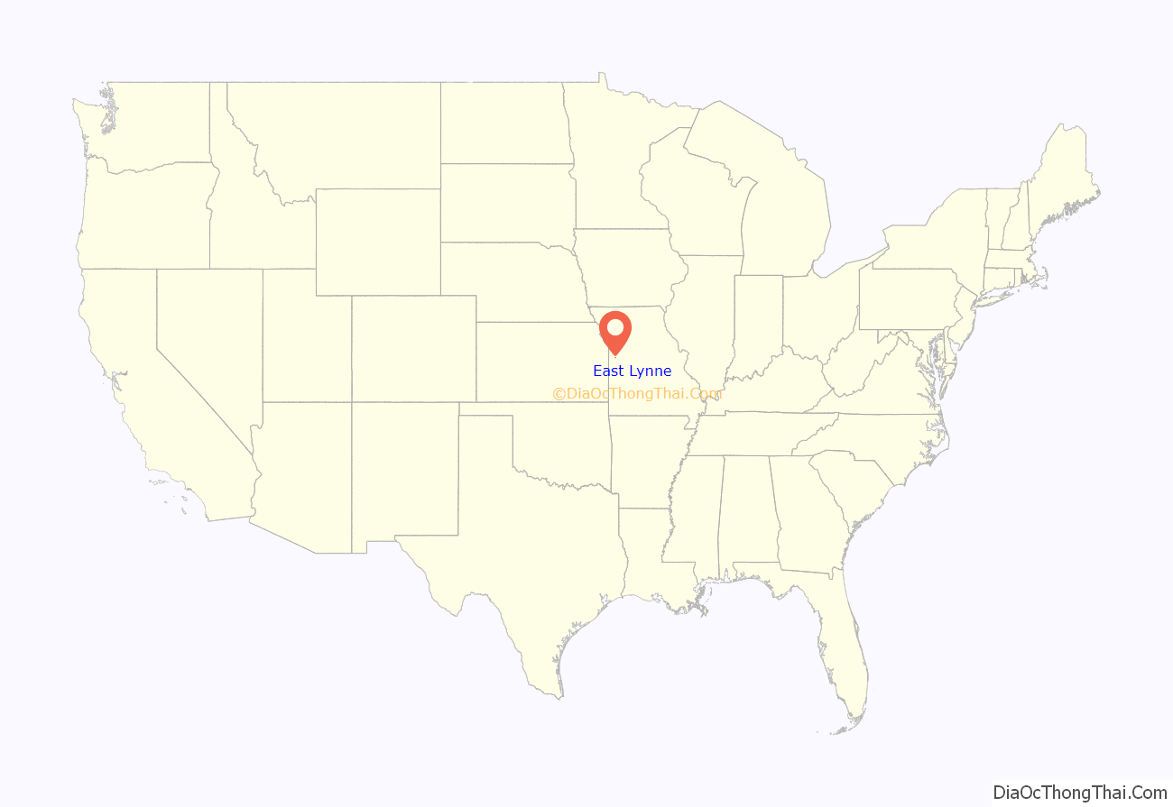
East Lynne location map. Where is East Lynne city?
History
East Lynne was platted in 1871. The city took its name from the novel East Lynne by Ellen Wood. A post office has been in operation at East Lynne since 1871.
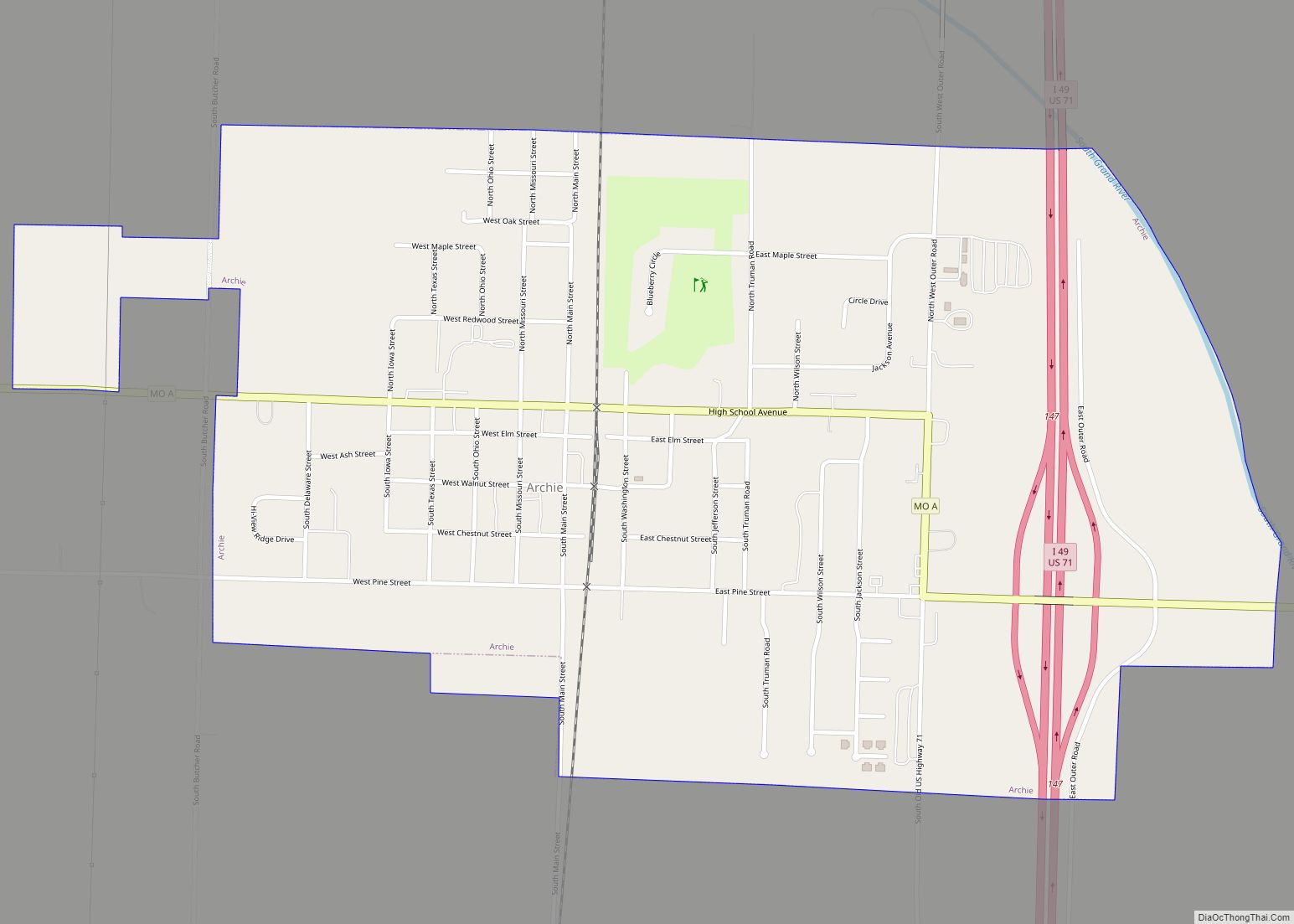
East Lynne Road Map
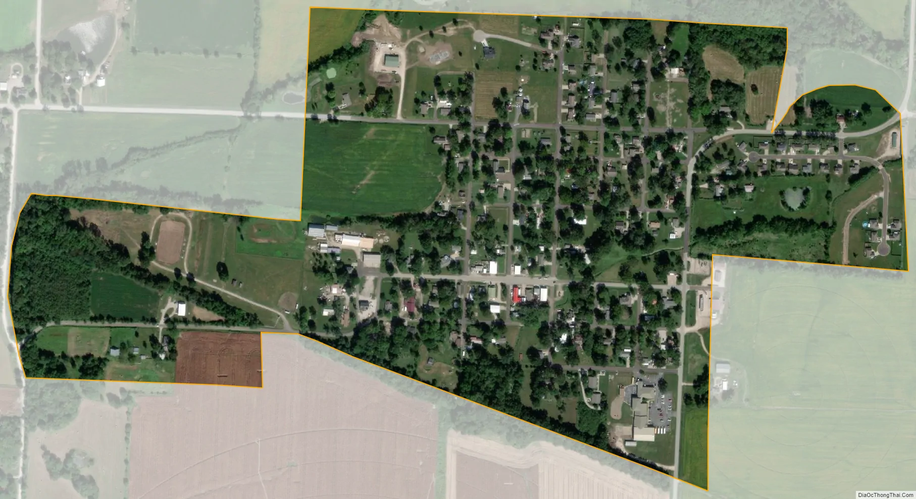
East Lynne city Satellite Map
Geography
East Lynne is located six miles east of Harrisonville on Missouri Route K. The site is on the Missouri–Kansas–Texas Railroad and the St. Louis–San Francisco Railway lines. Gunn City is three miles to the east along the Missouri–Kansas–Texas line. Camp Branch flows past the north side of the community.
According to the United States Census Bureau, the city has a total area of 0.33 square miles (0.85 km), all land.
See also
Map of Missouri State and its subdivision:- Adair
- Andrew
- Atchison
- Audrain
- Barry
- Barton
- Bates
- Benton
- Bollinger
- Boone
- Buchanan
- Butler
- Caldwell
- Callaway
- Camden
- Cape Girardeau
- Carroll
- Carter
- Cass
- Cedar
- Chariton
- Christian
- Clark
- Clay
- Clinton
- Cole
- Cooper
- Crawford
- Dade
- Dallas
- Daviess
- De Kalb
- Dent
- Douglas
- Dunklin
- Franklin
- Gasconade
- Gentry
- Greene
- Grundy
- Harrison
- Henry
- Hickory
- Holt
- Howard
- Howell
- Iron
- Jackson
- Jasper
- Jefferson
- Johnson
- Knox
- Laclede
- Lafayette
- Lawrence
- Lewis
- Lincoln
- Linn
- Livingston
- Macon
- Madison
- Maries
- Marion
- McDonald
- Mercer
- Miller
- Mississippi
- Moniteau
- Monroe
- Montgomery
- Morgan
- New Madrid
- Newton
- Nodaway
- Oregon
- Osage
- Ozark
- Pemiscot
- Perry
- Pettis
- Phelps
- Pike
- Platte
- Polk
- Pulaski
- Putnam
- Ralls
- Randolph
- Ray
- Reynolds
- Ripley
- Saint Charles
- Saint Clair
- Saint Francois
- Saint Louis
- Sainte Genevieve
- Saline
- Schuyler
- Scotland
- Scott
- Shannon
- Shelby
- Stoddard
- Stone
- Sullivan
- Taney
- Texas
- Vernon
- Warren
- Washington
- Wayne
- Webster
- Worth
- Wright
- Alabama
- Alaska
- Arizona
- Arkansas
- California
- Colorado
- Connecticut
- Delaware
- District of Columbia
- Florida
- Georgia
- Hawaii
- Idaho
- Illinois
- Indiana
- Iowa
- Kansas
- Kentucky
- Louisiana
- Maine
- Maryland
- Massachusetts
- Michigan
- Minnesota
- Mississippi
- Missouri
- Montana
- Nebraska
- Nevada
- New Hampshire
- New Jersey
- New Mexico
- New York
- North Carolina
- North Dakota
- Ohio
- Oklahoma
- Oregon
- Pennsylvania
- Rhode Island
- South Carolina
- South Dakota
- Tennessee
- Texas
- Utah
- Vermont
- Virginia
- Washington
- West Virginia
- Wisconsin
- Wyoming