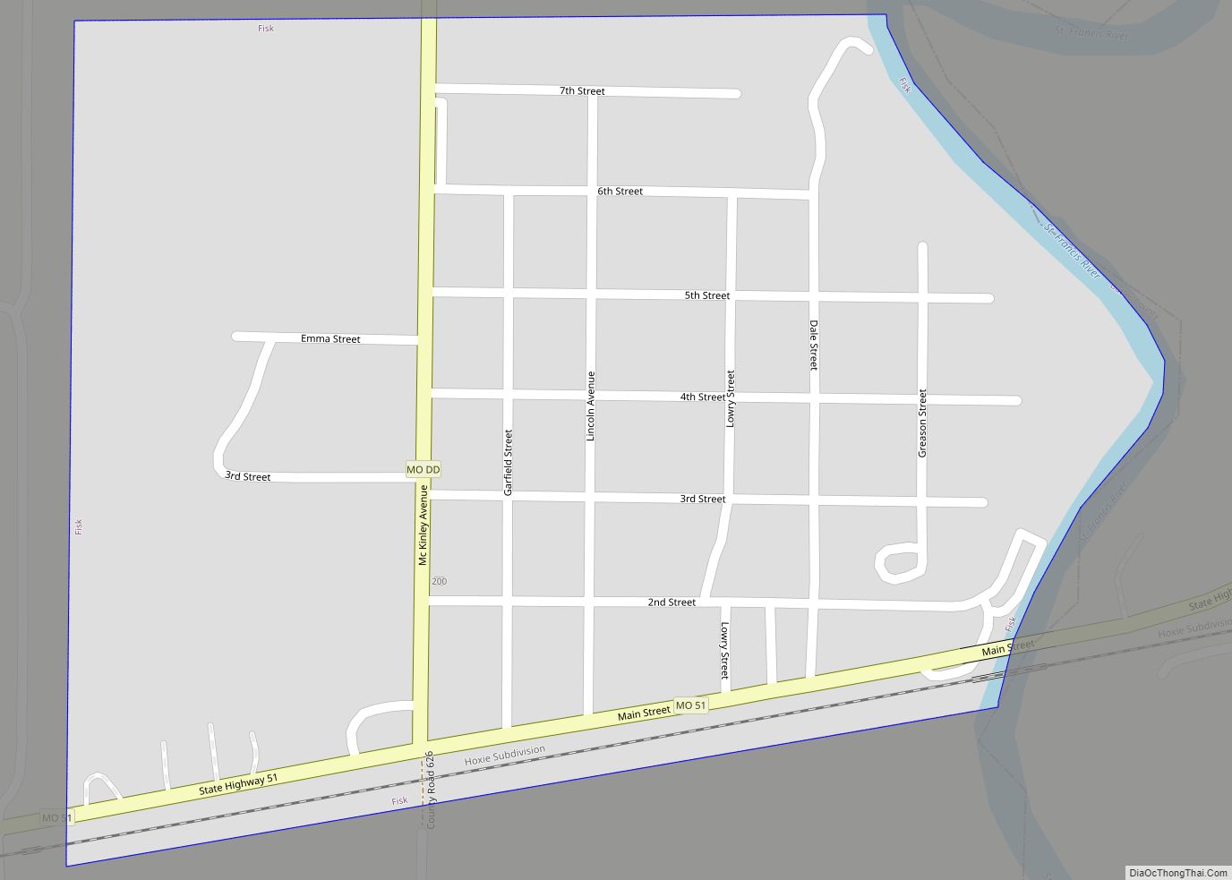
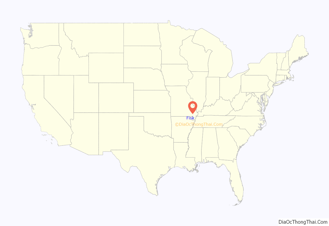
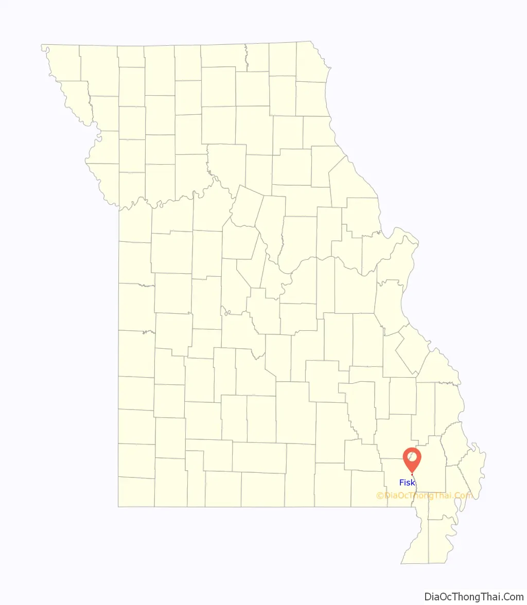
Fisk is a small city in Butler County, Southeast Missouri, United States. It is located right along the Butler-Stoddard County line on U.S. Route 60, along the St. Francis River. The population was 312 at the 2020 census.
Fisk is included within the Poplar Bluff Micropolitan Statistical Area.
| Name: | Fisk city |
|---|---|
| LSAD Code: | 25 |
| LSAD Description: | city (suffix) |
| State: | Missouri |
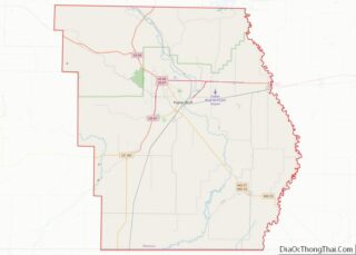
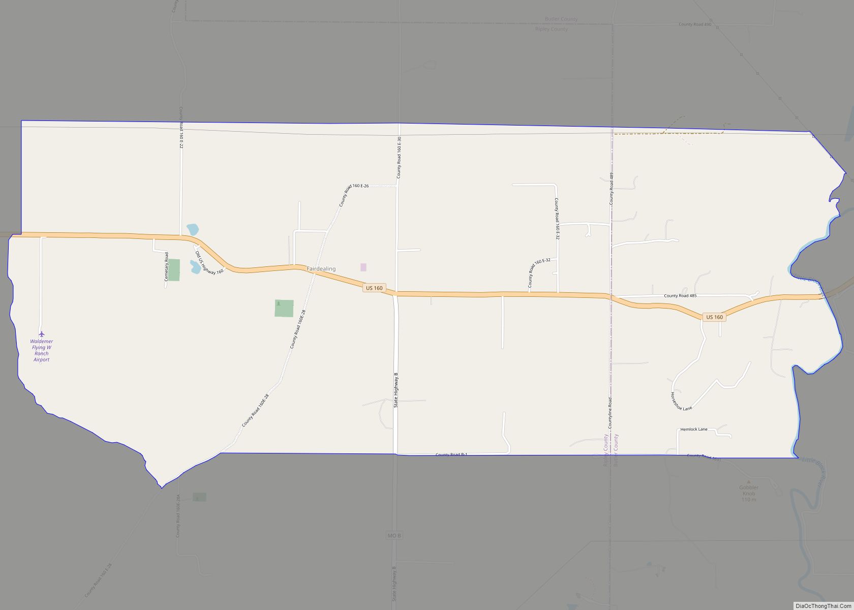
| County: | Butler County |
| Elevation: | 328 ft (100 m) |
| Total Area: | 0.33 sq mi (0.85 km²) |
| Land Area: | 0.32 sq mi (0.84 km²) |
| Water Area: | 0.01 sq mi (0.01 km²) |
| Total Population: | 312 |
| Population Density: | 962.96/sq mi (372.15/km²) |
| ZIP code: | 63940 |
| Area code: | 573 |
| FIPS code: | 2924328 |
| GNISfeature ID: | 2394768 |
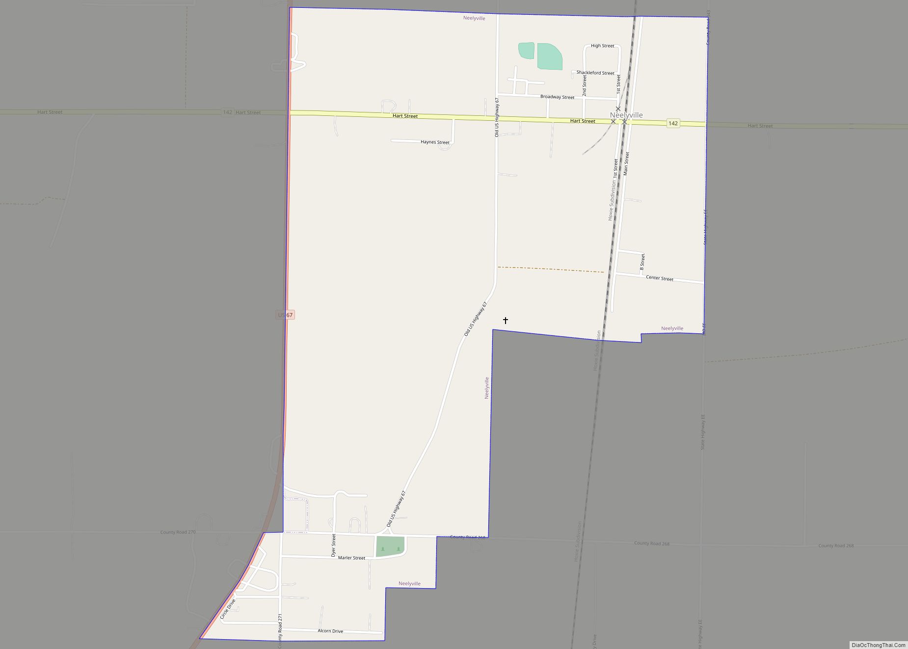
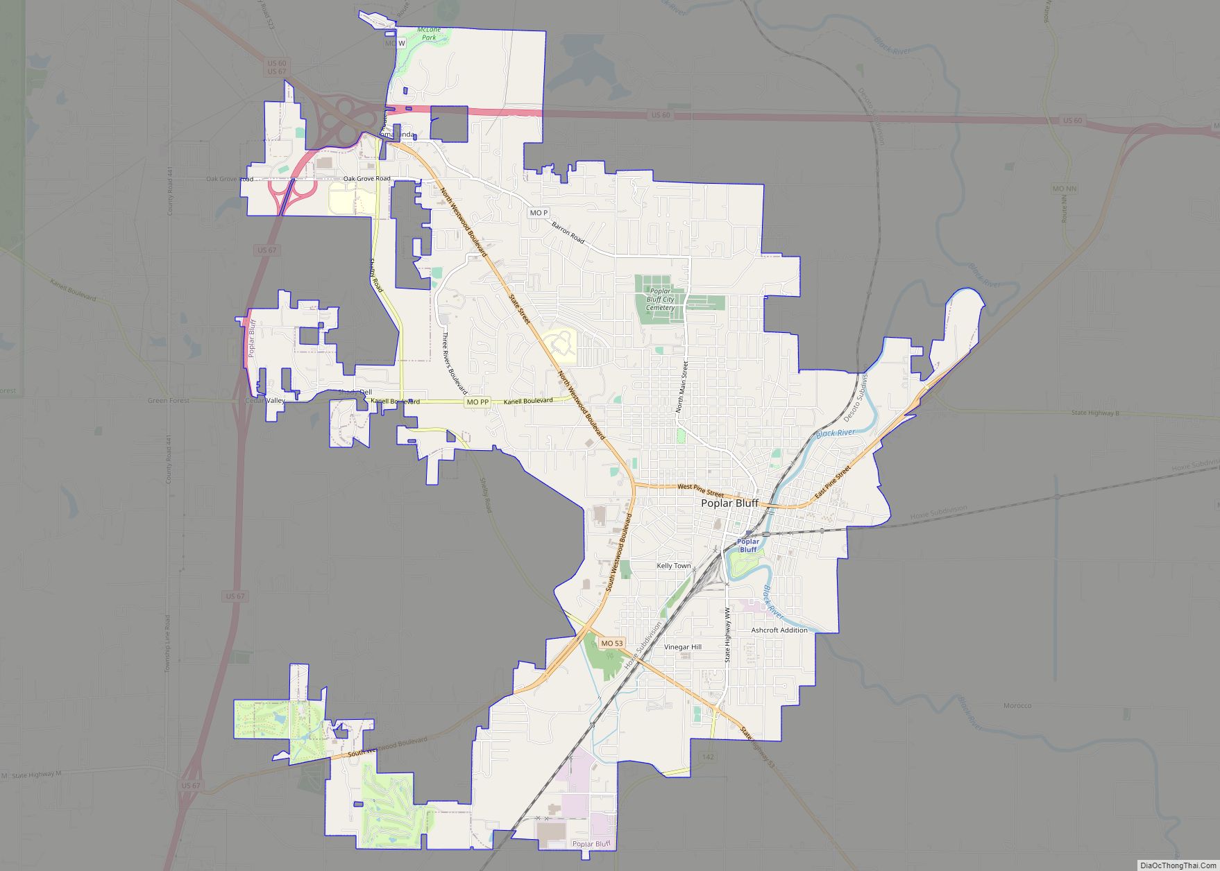
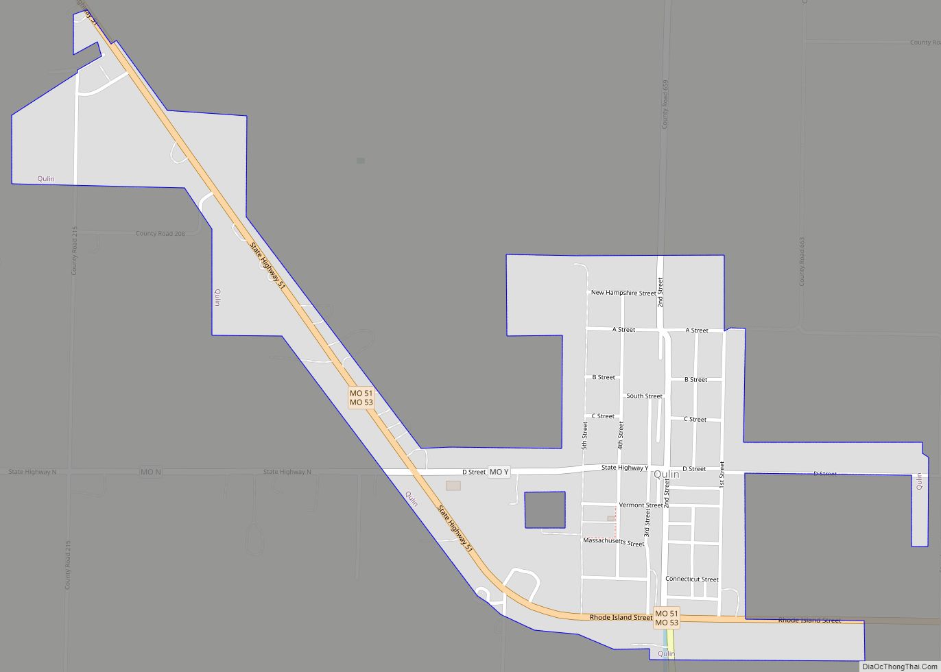
Online Interactive Map
Click on ![]() to view map in "full screen" mode.
to view map in "full screen" mode.
Fisk location map. Where is Fisk city?
History
A post office called Fisk has been in operation since 1899. The community was named after Samuel J. Fisk, the proprietor of a local sawmill.
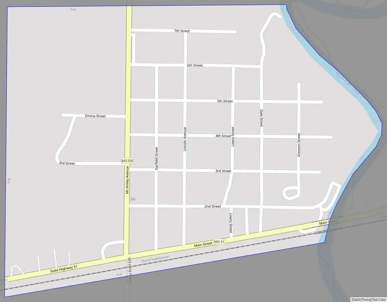
Fisk Road Map
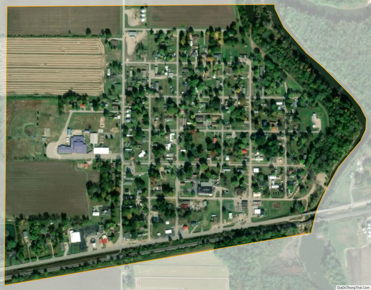
Fisk city Satellite Map
Geography
Fisk is located in the flatlands of southeast Missouri on the west bank of the St. Francis River approximately midway between Poplar Bluff and Dexter.
According to the United States Census Bureau, the city has a total area of 0.33 square miles (0.85 km), of which 0.32 square miles (0.83 km) is land and 0.01 square miles (0.03 km) is water.
See also
Map of Missouri State and its subdivision:- Adair
- Andrew
- Atchison
- Audrain
- Barry
- Barton
- Bates
- Benton
- Bollinger
- Boone
- Buchanan
- Butler
- Caldwell
- Callaway
- Camden
- Cape Girardeau
- Carroll
- Carter
- Cass
- Cedar
- Chariton
- Christian
- Clark
- Clay
- Clinton
- Cole
- Cooper
- Crawford
- Dade
- Dallas
- Daviess
- De Kalb
- Dent
- Douglas
- Dunklin
- Franklin
- Gasconade
- Gentry
- Greene
- Grundy
- Harrison
- Henry
- Hickory
- Holt
- Howard
- Howell
- Iron
- Jackson
- Jasper
- Jefferson
- Johnson
- Knox
- Laclede
- Lafayette
- Lawrence
- Lewis
- Lincoln
- Linn
- Livingston
- Macon
- Madison
- Maries
- Marion
- McDonald
- Mercer
- Miller
- Mississippi
- Moniteau
- Monroe
- Montgomery
- Morgan
- New Madrid
- Newton
- Nodaway
- Oregon
- Osage
- Ozark
- Pemiscot
- Perry
- Pettis
- Phelps
- Pike
- Platte
- Polk
- Pulaski
- Putnam
- Ralls
- Randolph
- Ray
- Reynolds
- Ripley
- Saint Charles
- Saint Clair
- Saint Francois
- Saint Louis
- Sainte Genevieve
- Saline
- Schuyler
- Scotland
- Scott
- Shannon
- Shelby
- Stoddard
- Stone
- Sullivan
- Taney
- Texas
- Vernon
- Warren
- Washington
- Wayne
- Webster
- Worth
- Wright
- Alabama
- Alaska
- Arizona
- Arkansas
- California
- Colorado
- Connecticut
- Delaware
- District of Columbia
- Florida
- Georgia
- Hawaii
- Idaho
- Illinois
- Indiana
- Iowa
- Kansas
- Kentucky
- Louisiana
- Maine
- Maryland
- Massachusetts
- Michigan
- Minnesota
- Mississippi
- Missouri
- Montana
- Nebraska
- Nevada
- New Hampshire
- New Jersey
- New Mexico
- New York
- North Carolina
- North Dakota
- Ohio
- Oklahoma
- Oregon
- Pennsylvania
- Rhode Island
- South Carolina
- South Dakota
- Tennessee
- Texas
- Utah
- Vermont
- Virginia
- Washington
- West Virginia
- Wisconsin
- Wyoming