Gallatin is a city in Daviess County, Missouri, United States. The population was 1,821 at the 2020 census. It is the county seat of Daviess County.
| Name: | Gallatin city |
|---|---|
| LSAD Code: | 25 |
| LSAD Description: | city (suffix) |
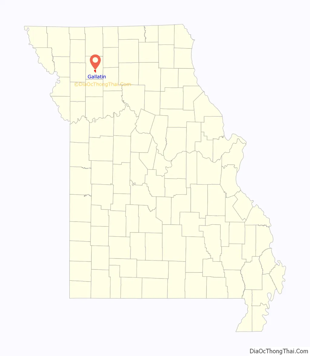
| State: | Missouri |
| County: | Daviess County |
| Incorporated: | 1856 |
| Elevation: | 915 ft (279 m) |
| Total Area: | 2.77 sq mi (7.16 km²) |
| Land Area: | 2.75 sq mi (7.12 km²) |
| Water Area: | 0.02 sq mi (0.04 km²) |
| Total Population: | 1,821 |
| Population Density: | 662.66/sq mi (255.83/km²) |
| ZIP code: | 64640 |
| Area code: | 660 |
| FIPS code: | 2926308 |
| GNISfeature ID: | 2394844 |
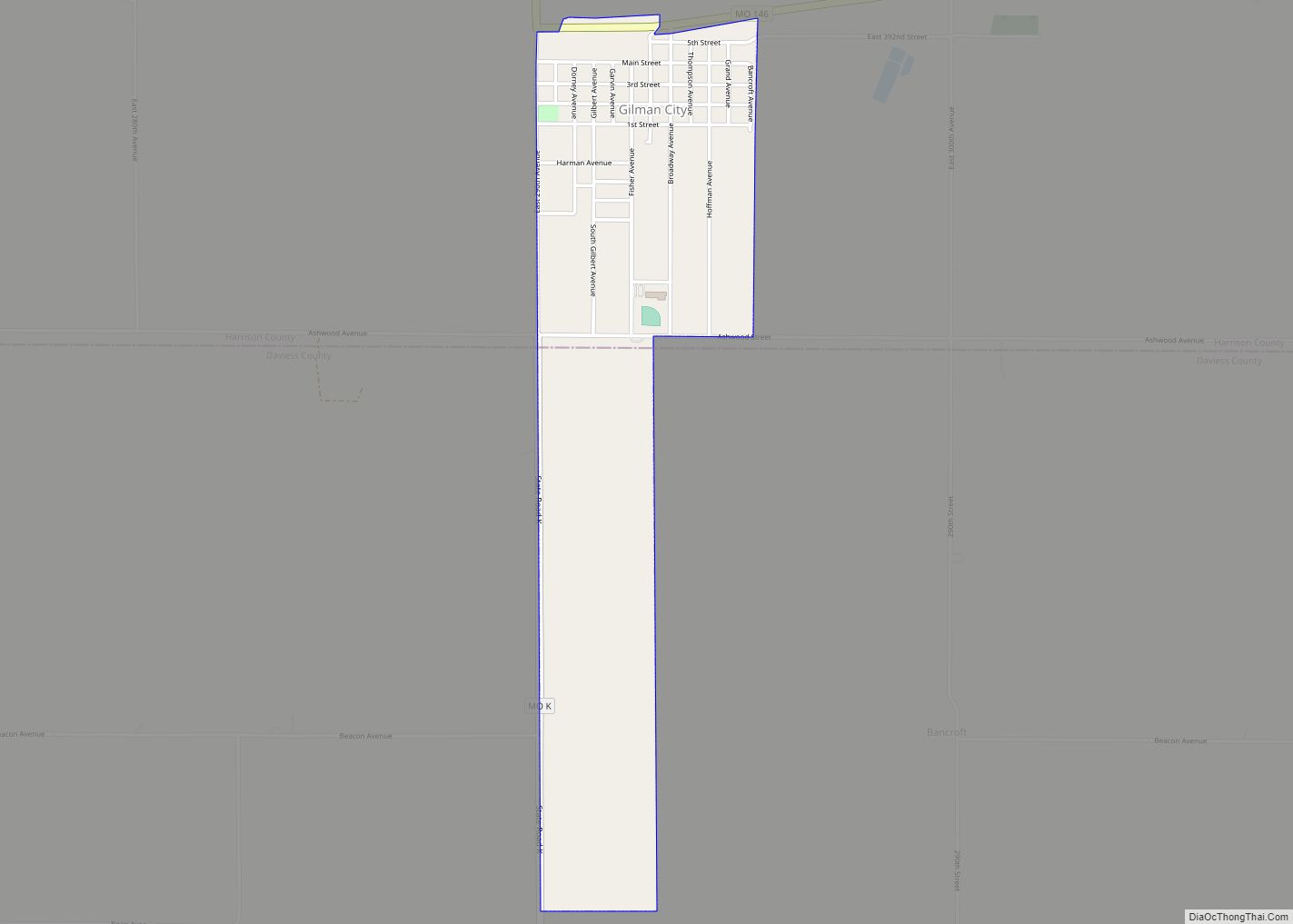
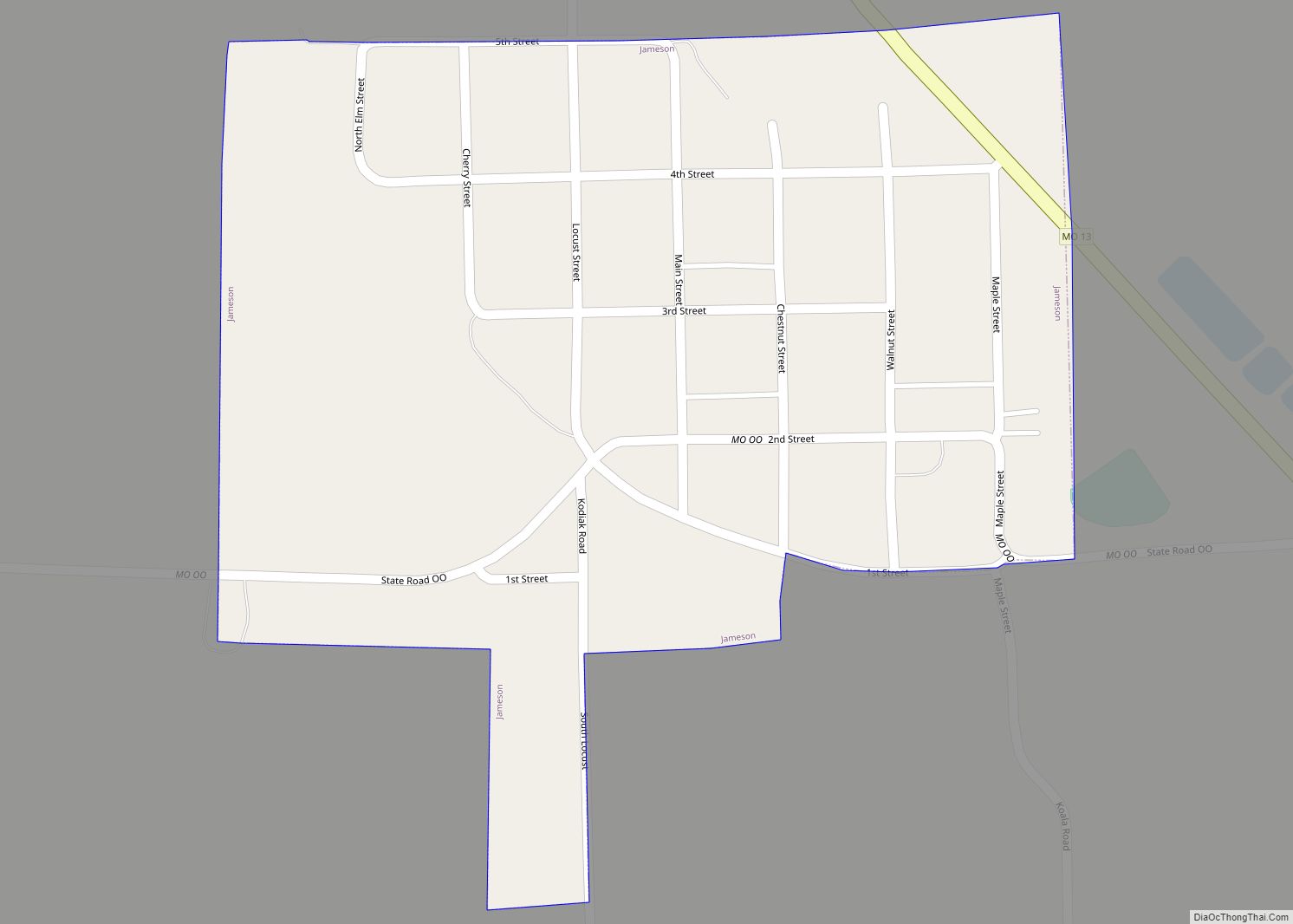
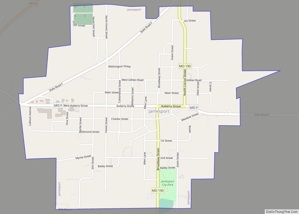
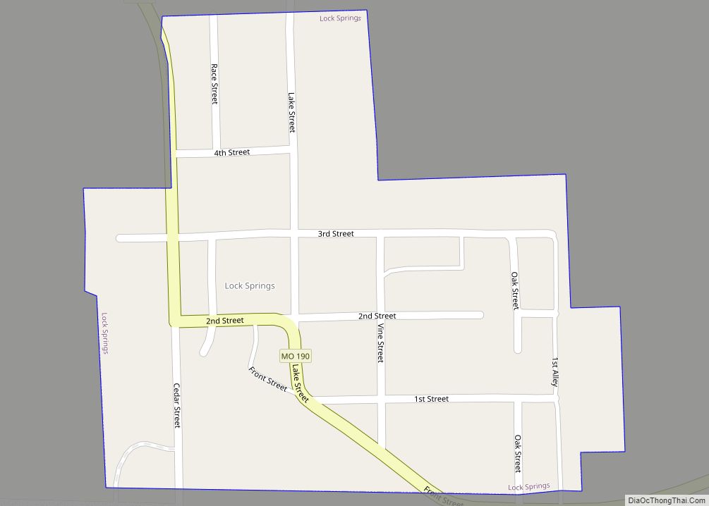
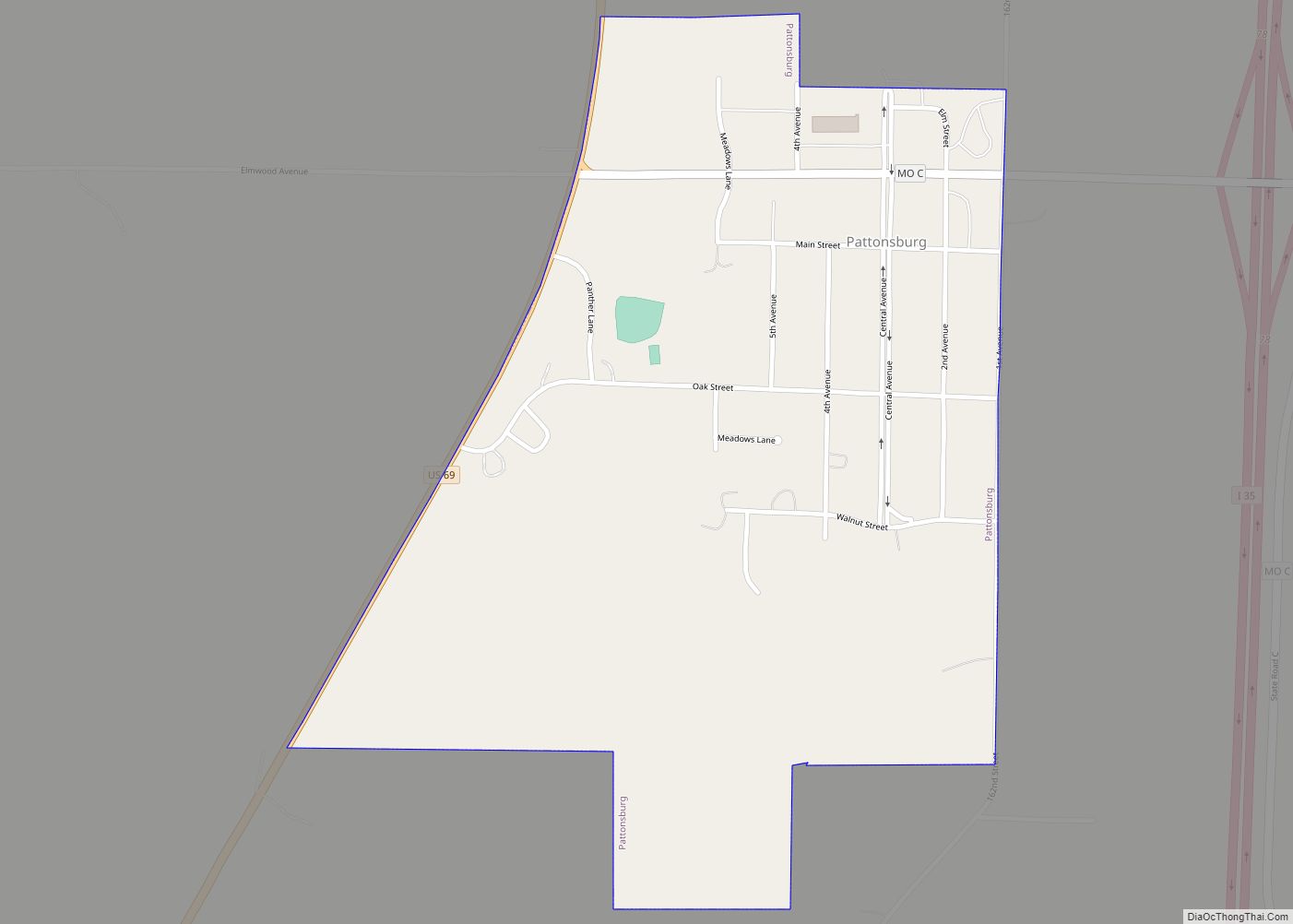
Online Interactive Map
Click on ![]() to view map in "full screen" mode.
to view map in "full screen" mode.
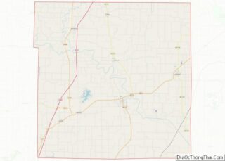
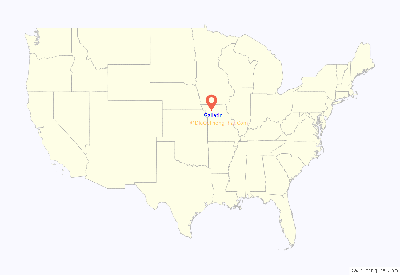
Gallatin location map. Where is Gallatin city?
History
The territory now known as the county of Daviess, was initially inhabited by Sacs, Foxes, Pottawatomies and Musquakies. “The Treaty of 1837 removed the Sac and Fox Nation of Missouri into Kansas.” “Gallatin was founded in 1837 and named for Albert Gallatin, America’s longest-serving Secretary of the Treasury (1801–1814). Gallatin was incorporated in 1856.
The Gallatin Election Day Battle took place on 6 August 1838. About 200 people attempted to forcibly prevent Latter-day Saints (also known as Mormons) from voting in the newly created county’s first election. In October 1838, David W. Patten led Mormon troops in the Daviess County expedition in which the Mormons burned and looted much of Gallatin, Millport and Grindstone Fork, consecrating the stolen goods to the bishop’s storehouse. The skirmishes were part of the 1838 Mormon War. Gallatin is important in the Latter-day Saint religion; nearby is a place known to its members as Adam-ondi-Ahman. They believe it to be the site where Adam and Eve lived after they had been expelled from the Garden of Eden.
In 1892, Grand River College moved from Edinburg, Missouri to Gallatin, where it operated for a period under the auspices of William Jewell College before it closed permanently in 1910 after a fire.
The Daviess County Rotary Jail and Sheriff’s Residence, the A. Taylor Ray House and the Daviess County Courthouse are listed on the National Register of Historic Places.
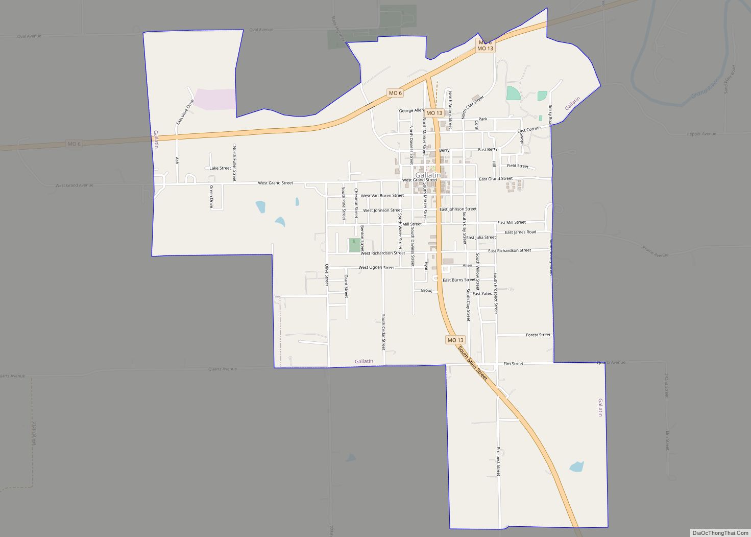
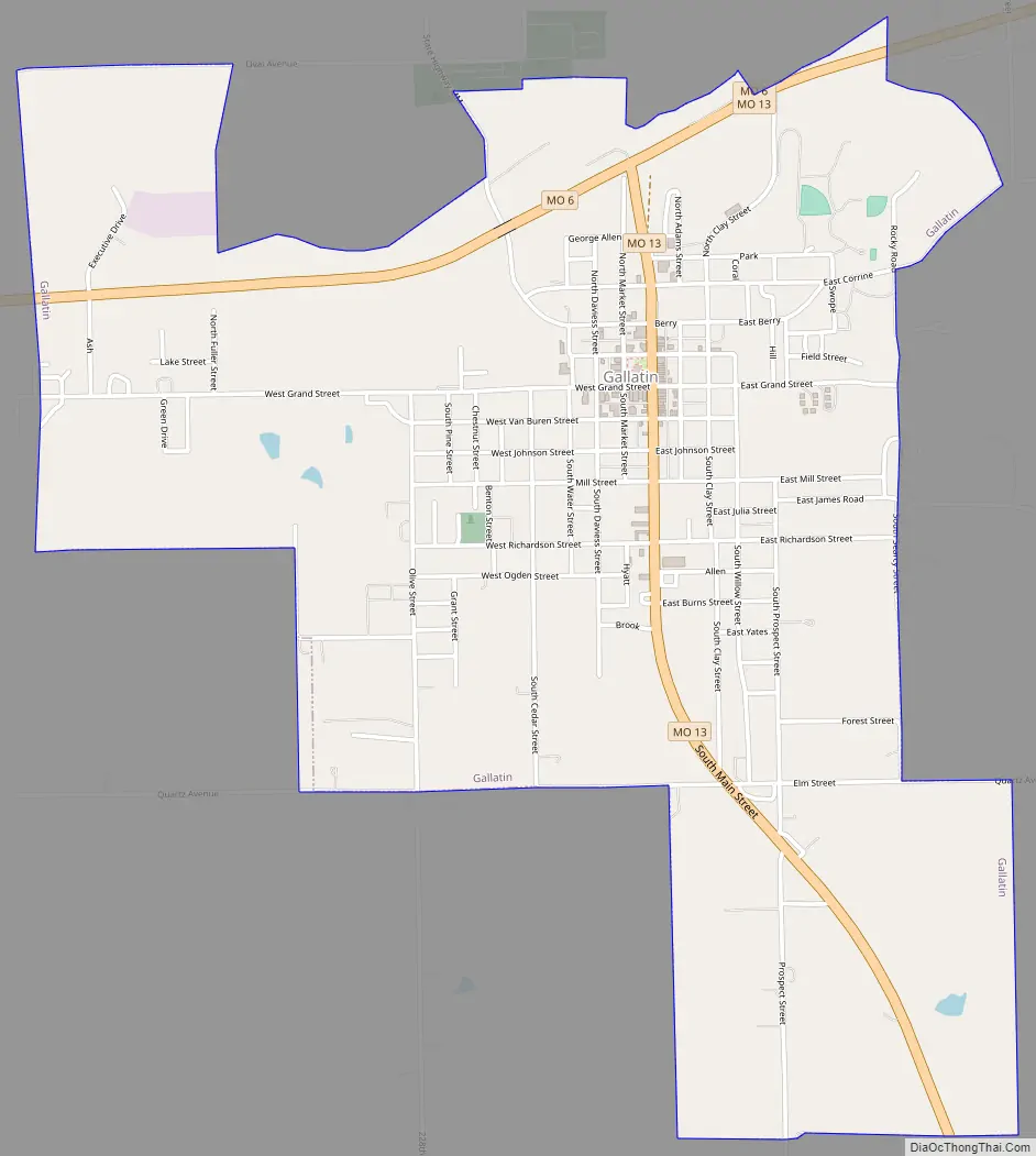
Gallatin Road Map
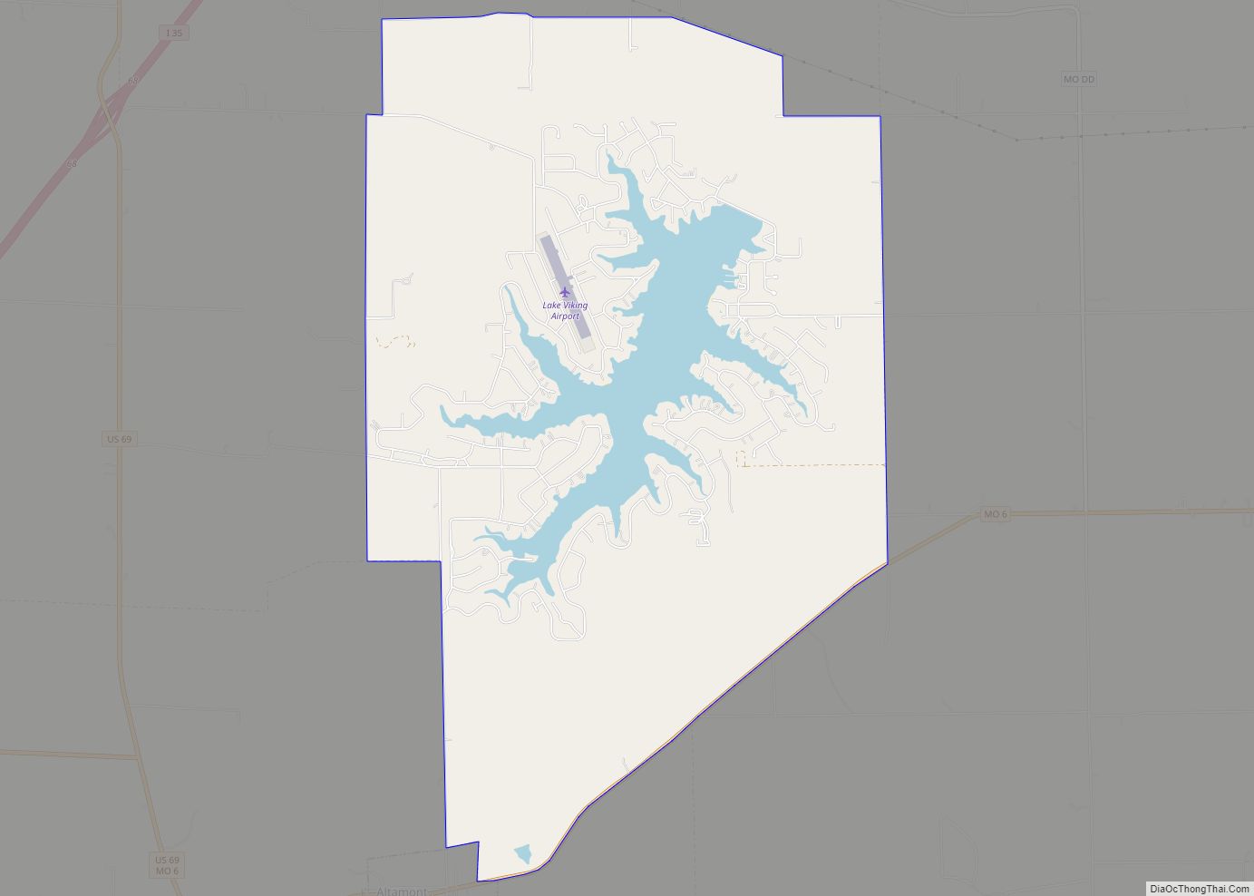
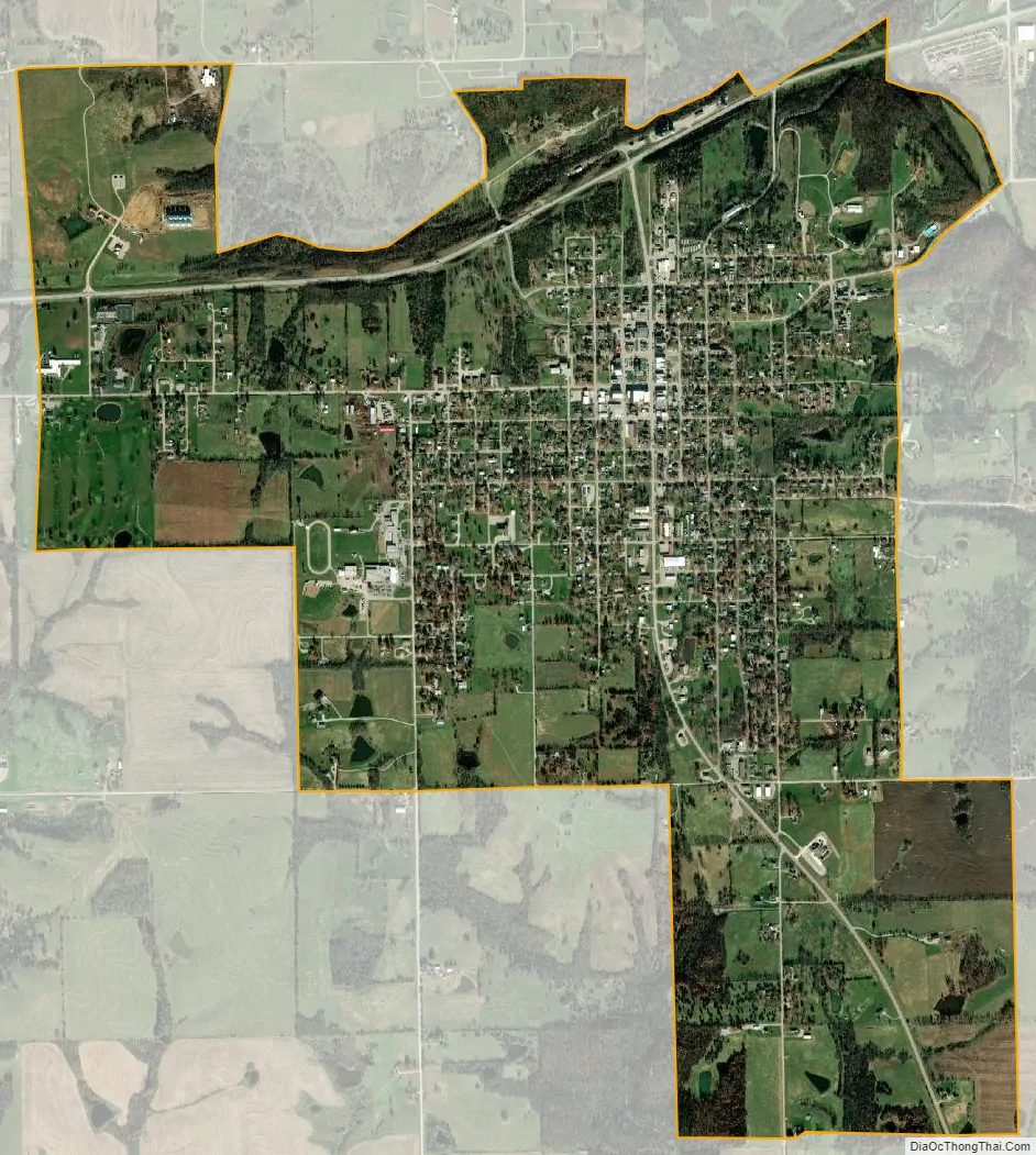
Gallatin city Satellite Map
Geography
Gallatin is located at the intersection of Missouri routes 6 and 13. The Grand River flows past about one mile east of the city.
According to the United States Census Bureau, the city has a total area of 2.77 square miles (7.17 km), of which 2.75 square miles (7.12 km) is land and 0.02 square miles (0.05 km) is water.
See also
Map of Missouri State and its subdivision:- Adair
- Andrew
- Atchison
- Audrain
- Barry
- Barton
- Bates
- Benton
- Bollinger
- Boone
- Buchanan
- Butler
- Caldwell
- Callaway
- Camden
- Cape Girardeau
- Carroll
- Carter
- Cass
- Cedar
- Chariton
- Christian
- Clark
- Clay
- Clinton
- Cole
- Cooper
- Crawford
- Dade
- Dallas
- Daviess
- De Kalb
- Dent
- Douglas
- Dunklin
- Franklin
- Gasconade
- Gentry
- Greene
- Grundy
- Harrison
- Henry
- Hickory
- Holt
- Howard
- Howell
- Iron
- Jackson
- Jasper
- Jefferson
- Johnson
- Knox
- Laclede
- Lafayette
- Lawrence
- Lewis
- Lincoln
- Linn
- Livingston
- Macon
- Madison
- Maries
- Marion
- McDonald
- Mercer
- Miller
- Mississippi
- Moniteau
- Monroe
- Montgomery
- Morgan
- New Madrid
- Newton
- Nodaway
- Oregon
- Osage
- Ozark
- Pemiscot
- Perry
- Pettis
- Phelps
- Pike
- Platte
- Polk
- Pulaski
- Putnam
- Ralls
- Randolph
- Ray
- Reynolds
- Ripley
- Saint Charles
- Saint Clair
- Saint Francois
- Saint Louis
- Sainte Genevieve
- Saline
- Schuyler
- Scotland
- Scott
- Shannon
- Shelby
- Stoddard
- Stone
- Sullivan
- Taney
- Texas
- Vernon
- Warren
- Washington
- Wayne
- Webster
- Worth
- Wright
- Alabama
- Alaska
- Arizona
- Arkansas
- California
- Colorado
- Connecticut
- Delaware
- District of Columbia
- Florida
- Georgia
- Hawaii
- Idaho
- Illinois
- Indiana
- Iowa
- Kansas
- Kentucky
- Louisiana
- Maine
- Maryland
- Massachusetts
- Michigan
- Minnesota
- Mississippi
- Missouri
- Montana
- Nebraska
- Nevada
- New Hampshire
- New Jersey
- New Mexico
- New York
- North Carolina
- North Dakota
- Ohio
- Oklahoma
- Oregon
- Pennsylvania
- Rhode Island
- South Carolina
- South Dakota
- Tennessee
- Texas
- Utah
- Vermont
- Virginia
- Washington
- West Virginia
- Wisconsin
- Wyoming