Gerald is a city in western Franklin County, Missouri, United States. The population was 1,361 at the 2020 census.
| Name: | Gerald city |
|---|---|
| LSAD Code: | 25 |
| LSAD Description: | city (suffix) |
| State: | Missouri |
| County: | Franklin County |
| Elevation: | 906 ft (276 m) |
| Total Area: | 1.49 sq mi (3.85 km²) |
| Land Area: | 1.48 sq mi (3.83 km²) |
| Water Area: | 0.01 sq mi (0.02 km²) |
| Total Population: | 1,361 |
| Population Density: | 920.84/sq mi (355.61/km²) |
| ZIP code: | 63037 |
| Area code: | 573 |
| FIPS code: | 2926866 |
| GNISfeature ID: | 2394884 |
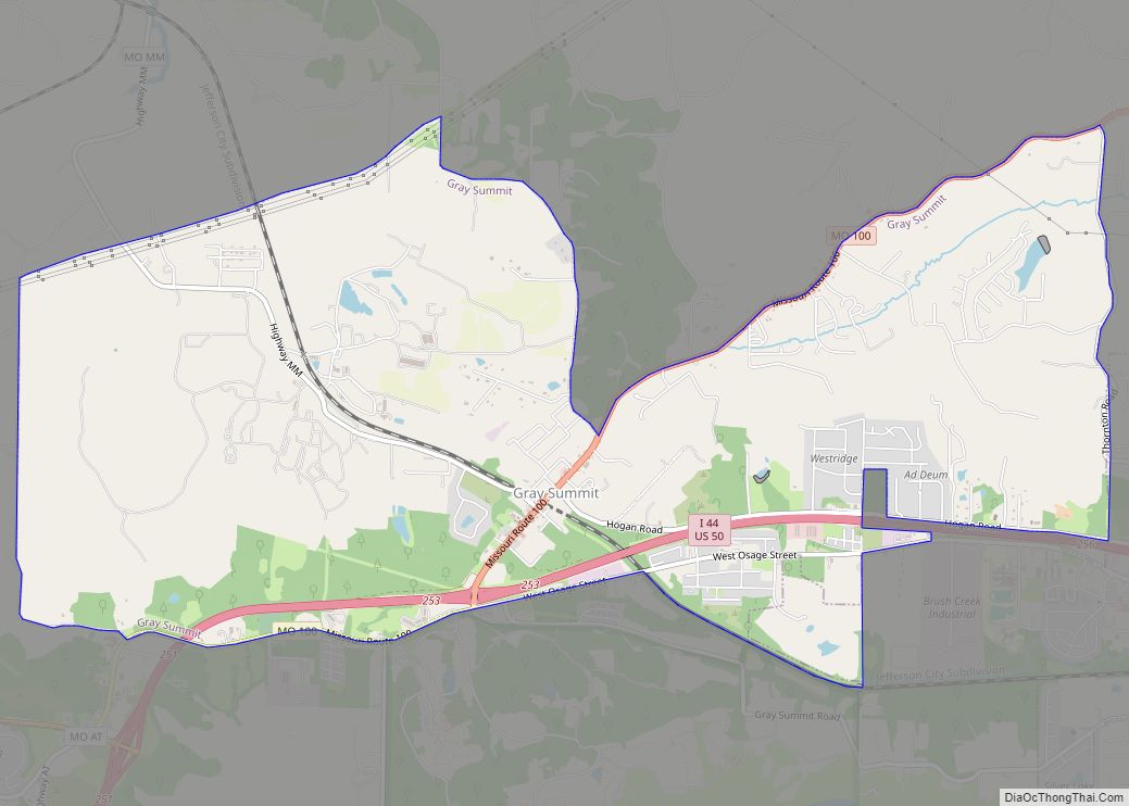
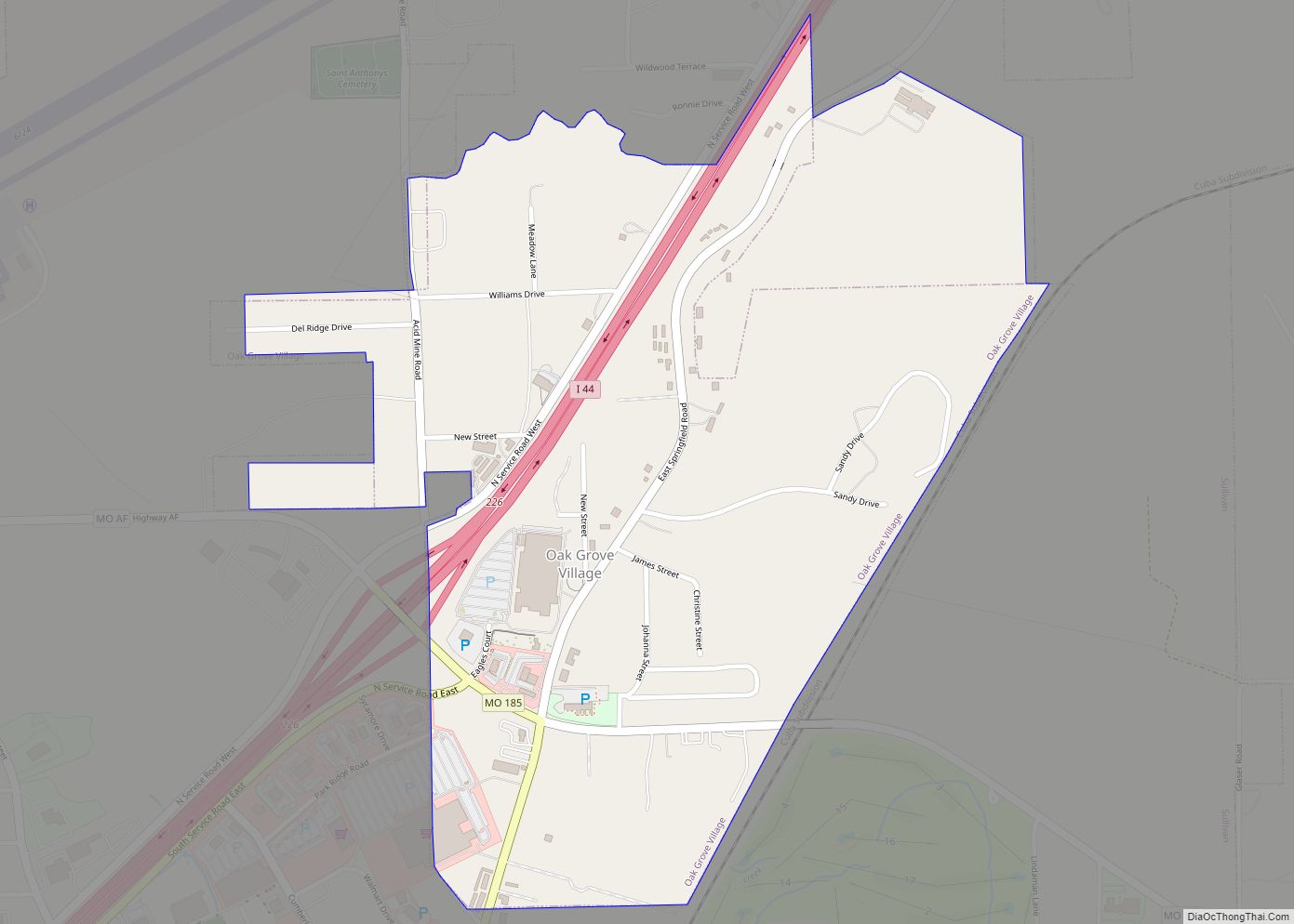
Online Interactive Map
Click on ![]() to view map in "full screen" mode.
to view map in "full screen" mode.
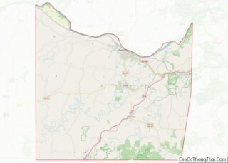
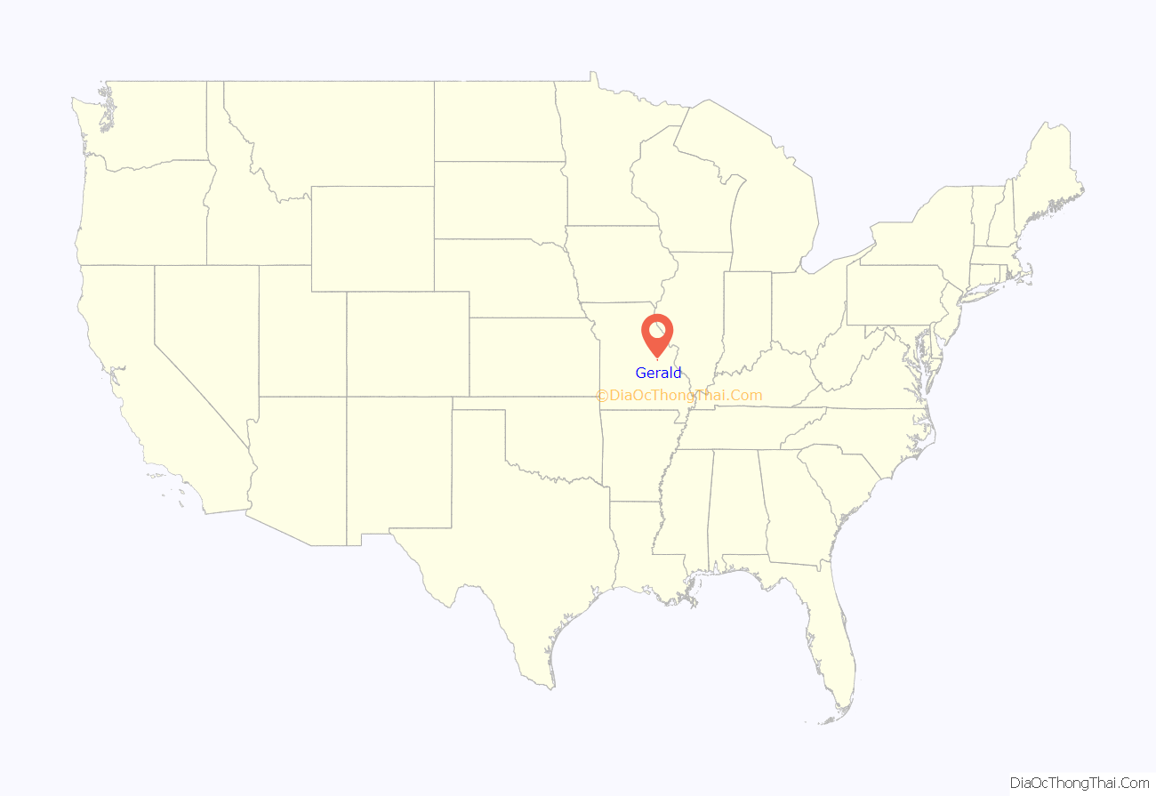
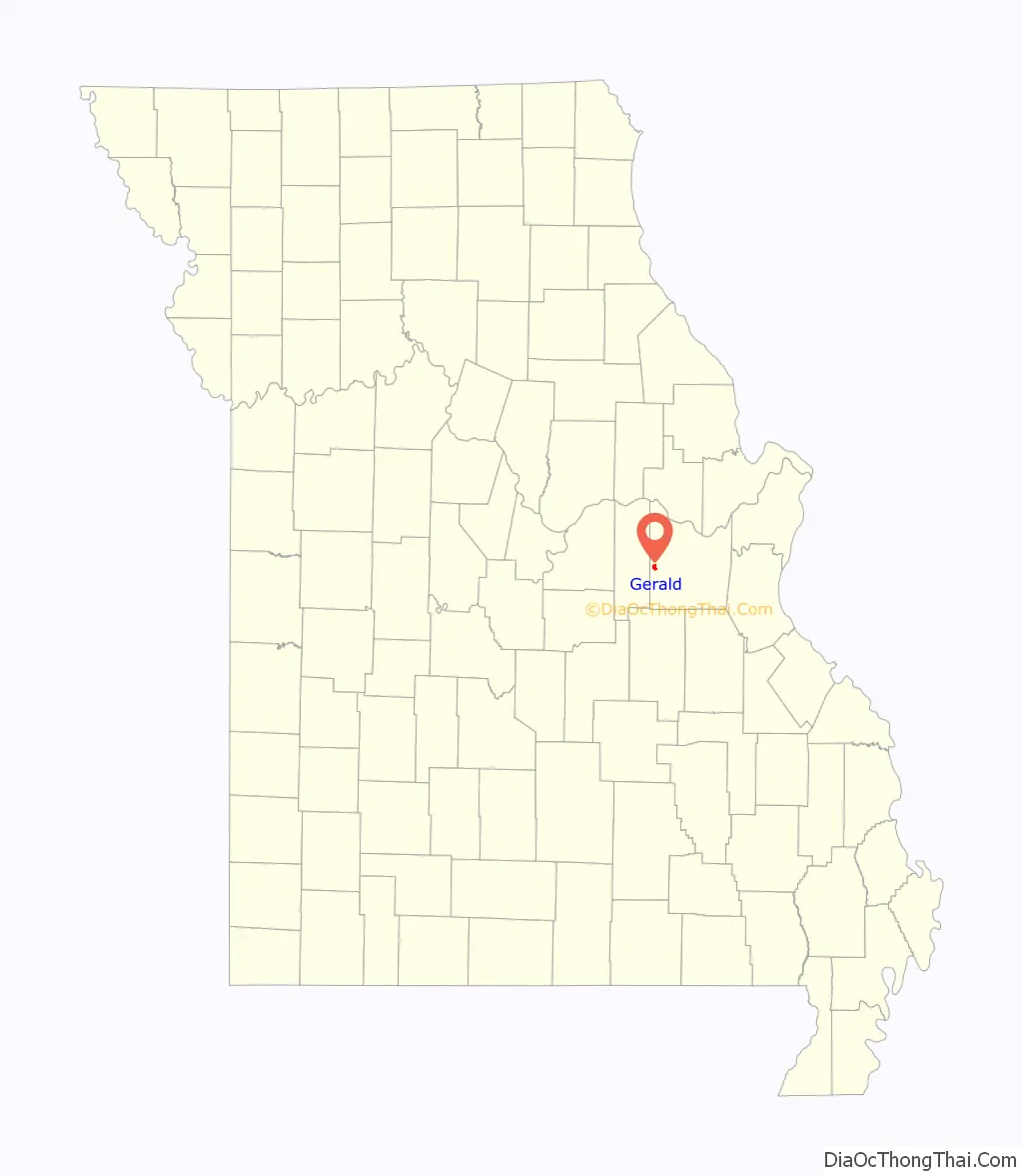
Gerald location map. Where is Gerald city?
History
Gerald was platted in 1901 along a railroad line. The community was named after the local Fitzgerald family. A post office called Gerald has been in operation since 1901.
The Christian and Anna Keller Farmstead and Old Gerald School are listed on the National Register of Historic Places.
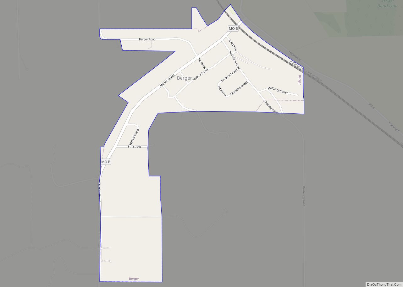
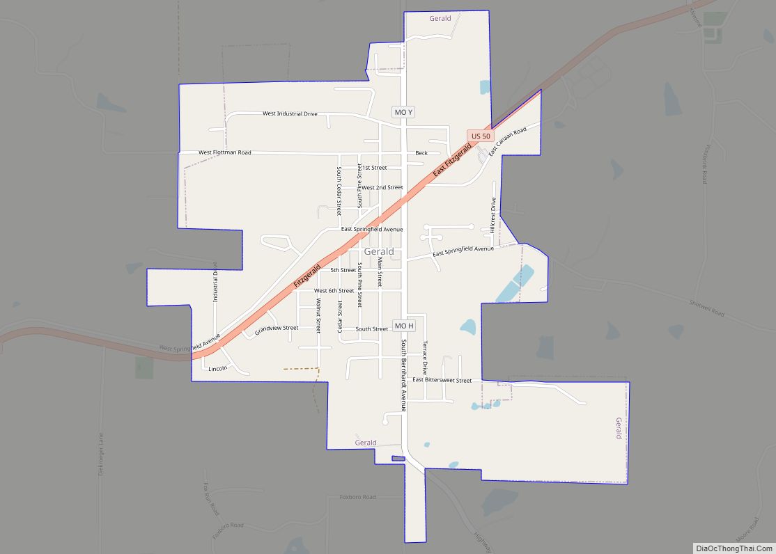
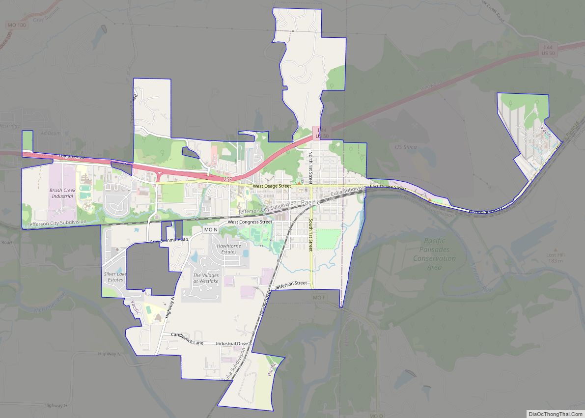
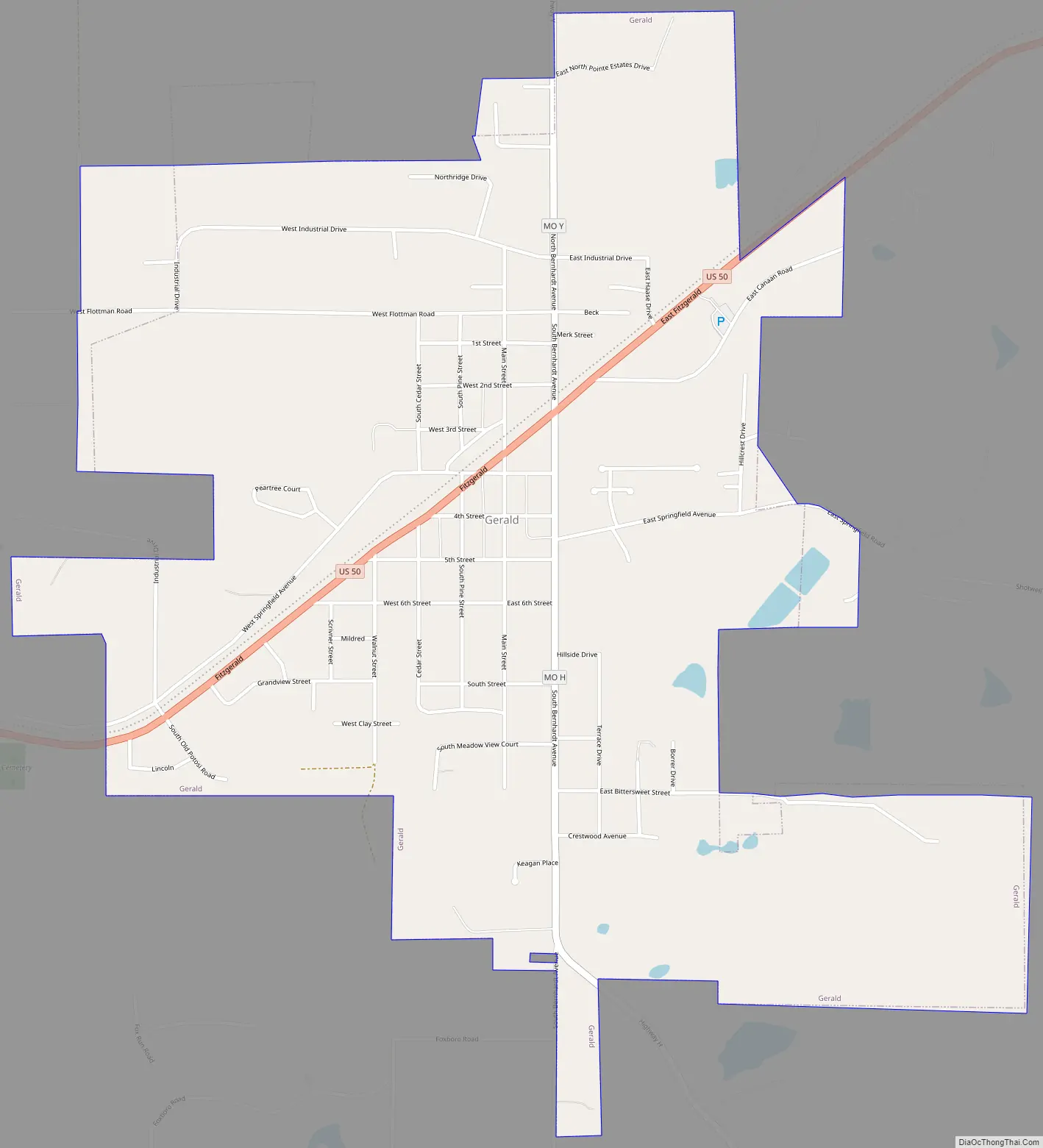
Gerald Road Map
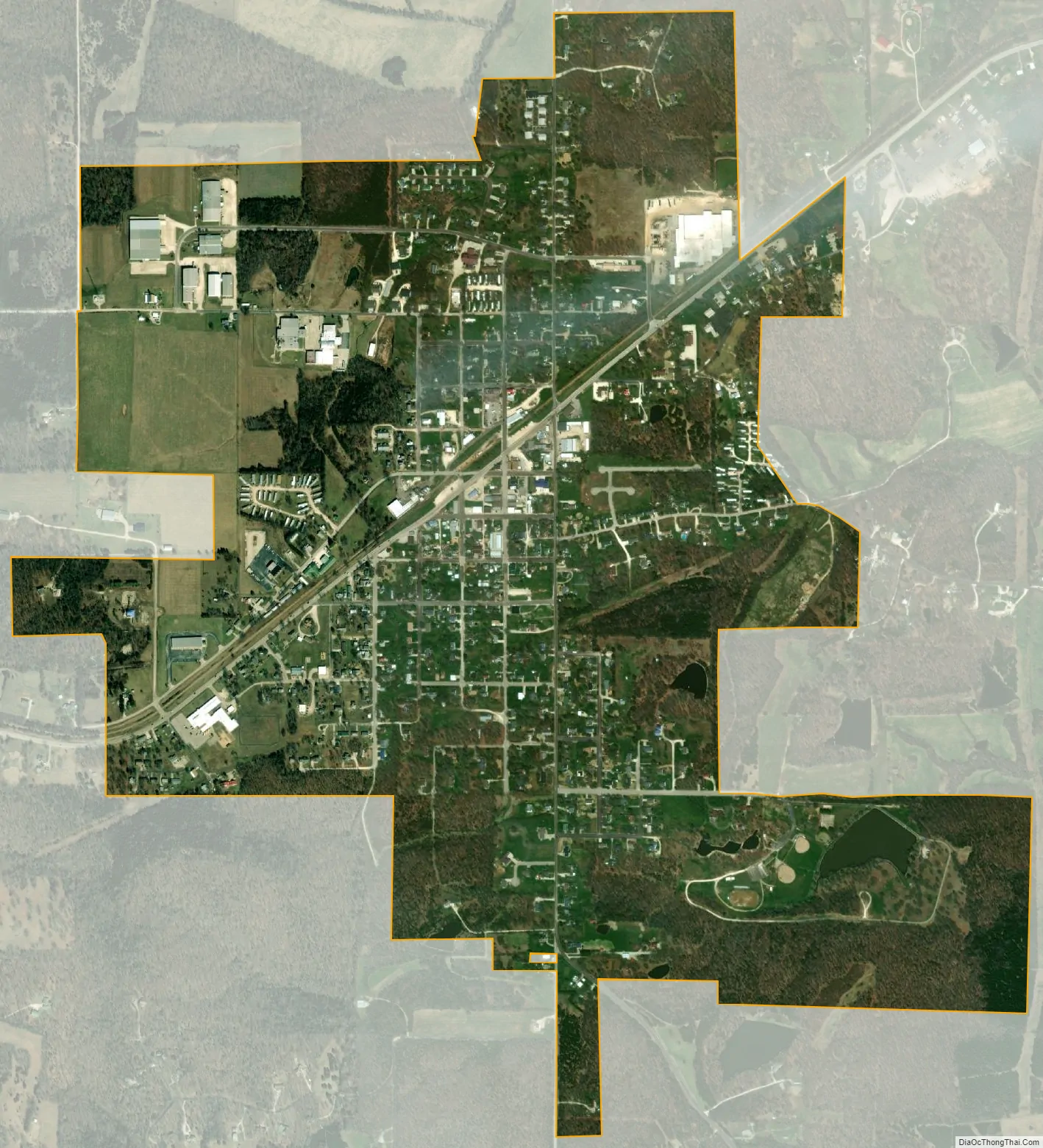
Gerald city Satellite Map
Geography
Gerald is located along US Route 50 approximately two miles east of the Franklin – Gasconade county line. Rosebud lies four miles to the west and Leslie five miles east along Route 50.
According to the United States Census Bureau, the city has a total area of 1.49 square miles (3.86 km), of which 1.48 square miles (3.83 km) is land and 0.01 square miles (0.03 km) is water.
See also
Map of Missouri State and its subdivision:- Adair
- Andrew
- Atchison
- Audrain
- Barry
- Barton
- Bates
- Benton
- Bollinger
- Boone
- Buchanan
- Butler
- Caldwell
- Callaway
- Camden
- Cape Girardeau
- Carroll
- Carter
- Cass
- Cedar
- Chariton
- Christian
- Clark
- Clay
- Clinton
- Cole
- Cooper
- Crawford
- Dade
- Dallas
- Daviess
- De Kalb
- Dent
- Douglas
- Dunklin
- Franklin
- Gasconade
- Gentry
- Greene
- Grundy
- Harrison
- Henry
- Hickory
- Holt
- Howard
- Howell
- Iron
- Jackson
- Jasper
- Jefferson
- Johnson
- Knox
- Laclede
- Lafayette
- Lawrence
- Lewis
- Lincoln
- Linn
- Livingston
- Macon
- Madison
- Maries
- Marion
- McDonald
- Mercer
- Miller
- Mississippi
- Moniteau
- Monroe
- Montgomery
- Morgan
- New Madrid
- Newton
- Nodaway
- Oregon
- Osage
- Ozark
- Pemiscot
- Perry
- Pettis
- Phelps
- Pike
- Platte
- Polk
- Pulaski
- Putnam
- Ralls
- Randolph
- Ray
- Reynolds
- Ripley
- Saint Charles
- Saint Clair
- Saint Francois
- Saint Louis
- Sainte Genevieve
- Saline
- Schuyler
- Scotland
- Scott
- Shannon
- Shelby
- Stoddard
- Stone
- Sullivan
- Taney
- Texas
- Vernon
- Warren
- Washington
- Wayne
- Webster
- Worth
- Wright
- Alabama
- Alaska
- Arizona
- Arkansas
- California
- Colorado
- Connecticut
- Delaware
- District of Columbia
- Florida
- Georgia
- Hawaii
- Idaho
- Illinois
- Indiana
- Iowa
- Kansas
- Kentucky
- Louisiana
- Maine
- Maryland
- Massachusetts
- Michigan
- Minnesota
- Mississippi
- Missouri
- Montana
- Nebraska
- Nevada
- New Hampshire
- New Jersey
- New Mexico
- New York
- North Carolina
- North Dakota
- Ohio
- Oklahoma
- Oregon
- Pennsylvania
- Rhode Island
- South Carolina
- South Dakota
- Tennessee
- Texas
- Utah
- Vermont
- Virginia
- Washington
- West Virginia
- Wisconsin
- Wyoming