Gibbs is a village in Wilson Township, Adair County, Missouri, United States. The population was 107 at the 2010 census.
| Name: | Gibbs village |
|---|---|
| LSAD Code: | 47 |
| LSAD Description: | village (suffix) |
| State: | Missouri |
| County: | Adair County |
| Elevation: | 909 ft (277 m) |
| Total Area: | 0.25 sq mi (0.64 km²) |
| Land Area: | 0.25 sq mi (0.64 km²) |
| Water Area: | 0.00 sq mi (0.00 km²) |
| Total Population: | 70 |
| Population Density: | 282.26/sq mi (109.18/km²) |
| ZIP code: | 63540 |
| Area code: | 660 |
| FIPS code: | 2926920 |
| GNISfeature ID: | 2398958 |
Online Interactive Map
Click on ![]() to view map in "full screen" mode.
to view map in "full screen" mode.
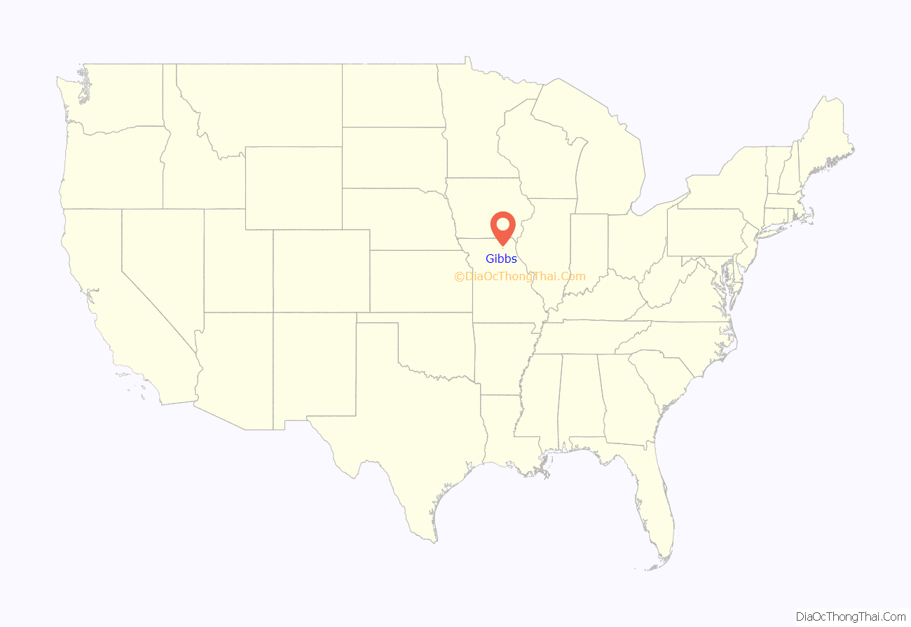
Gibbs location map. Where is Gibbs village?
History
The town of Gibbs was an outgrowth of the Santa Fe Railroad, laid out in 1887 when the rail lines passed through southeastern Adair County. The name Gibbs was chosen in honor of Frank W. Gibbs, who donated land to the Santa Fe Railroad for the construction of a rail depot and stockyard. At the time of Gibbs’ incorporation in 1894, it was anticipated that the town might become Adair County’s main rail shipping point for the Santa Fe. This hope was bolstered by the fact that the road leading to Gibbs was the first all-weather road in the county. In the late 1800s a considerable amount of cattle and hogs were shipped from the Gibbs depot to packing houses in Chicago, along with seasonal carloads of fresh apples, strawberries, and eggs to points across America. Perrin & Company of Chicago also constructed a grain elevator trackside for the storage and shipping of corn, with lesser amounts of barley, oats, and wheat. The addition of a second Santa Fe trackline next to the existing one in 1908 added to Gibbs residents hopes for a bright future.
However, the majority of merchants and businesses of Kirksville, the county’s major trading hub, instead chose to use La Plata, on the Macon-Adair County border, as their major shipping and passenger service outlet on the Santa Fe. A US Post Office was established in 1887, and several businesses could be found including a barber shop, several general merchants, and two blacksmiths. The Gibbs business district also had of two hotels, an opera house, a bank, lumberyard, undertaker service, a cement factory, and the aforementioned grain elevator. The Bank Of Gibbs was founded in 1898 and served the citizens of Gibbs, Adair County, and northern Macon county well. It closed in 1933. For a time at the turn-of-the-century Gibbs had its own newspaper, Gibbs Telegraph. Gibbs featured four churches, but a falling population led to the closing of the last one in the early 1980s. The last Gibbs business, a grocery store, closed in 1970. It was also in that year that a rural health clinic, established by a Kirksville hospital in 1949, closed. The Santa Fe rail depot was closed in the 1960s and the two-room school was consolidated into the Brashear (Adair County R-2) school system in 1966. It is now primarily a ‘bedroom community’ with most residents traveling to cities like Kirksville and Macon for employment. A 2007 rental dispute between the US Postal Service and the buildings owners has led to the closing, at least temporarily, of the Gibbs post office.
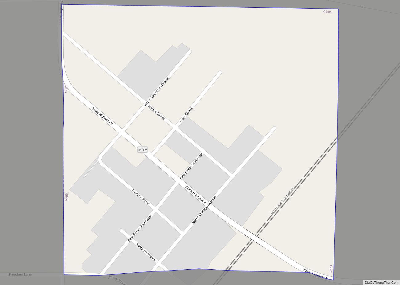
Gibbs Road Map
Gibbs city Satellite Map
Geography
According to the United States Census Bureau, the village has a total area of 0.25 square miles (0.65 km), all land.
See also
Map of Missouri State and its subdivision:- Adair
- Andrew
- Atchison
- Audrain
- Barry
- Barton
- Bates
- Benton
- Bollinger
- Boone
- Buchanan
- Butler
- Caldwell
- Callaway
- Camden
- Cape Girardeau
- Carroll
- Carter
- Cass
- Cedar
- Chariton
- Christian
- Clark
- Clay
- Clinton
- Cole
- Cooper
- Crawford
- Dade
- Dallas
- Daviess
- De Kalb
- Dent
- Douglas
- Dunklin
- Franklin
- Gasconade
- Gentry
- Greene
- Grundy
- Harrison
- Henry
- Hickory
- Holt
- Howard
- Howell
- Iron
- Jackson
- Jasper
- Jefferson
- Johnson
- Knox
- Laclede
- Lafayette
- Lawrence
- Lewis
- Lincoln
- Linn
- Livingston
- Macon
- Madison
- Maries
- Marion
- McDonald
- Mercer
- Miller
- Mississippi
- Moniteau
- Monroe
- Montgomery
- Morgan
- New Madrid
- Newton
- Nodaway
- Oregon
- Osage
- Ozark
- Pemiscot
- Perry
- Pettis
- Phelps
- Pike
- Platte
- Polk
- Pulaski
- Putnam
- Ralls
- Randolph
- Ray
- Reynolds
- Ripley
- Saint Charles
- Saint Clair
- Saint Francois
- Saint Louis
- Sainte Genevieve
- Saline
- Schuyler
- Scotland
- Scott
- Shannon
- Shelby
- Stoddard
- Stone
- Sullivan
- Taney
- Texas
- Vernon
- Warren
- Washington
- Wayne
- Webster
- Worth
- Wright
- Alabama
- Alaska
- Arizona
- Arkansas
- California
- Colorado
- Connecticut
- Delaware
- District of Columbia
- Florida
- Georgia
- Hawaii
- Idaho
- Illinois
- Indiana
- Iowa
- Kansas
- Kentucky
- Louisiana
- Maine
- Maryland
- Massachusetts
- Michigan
- Minnesota
- Mississippi
- Missouri
- Montana
- Nebraska
- Nevada
- New Hampshire
- New Jersey
- New Mexico
- New York
- North Carolina
- North Dakota
- Ohio
- Oklahoma
- Oregon
- Pennsylvania
- Rhode Island
- South Carolina
- South Dakota
- Tennessee
- Texas
- Utah
- Vermont
- Virginia
- Washington
- West Virginia
- Wisconsin
- Wyoming
