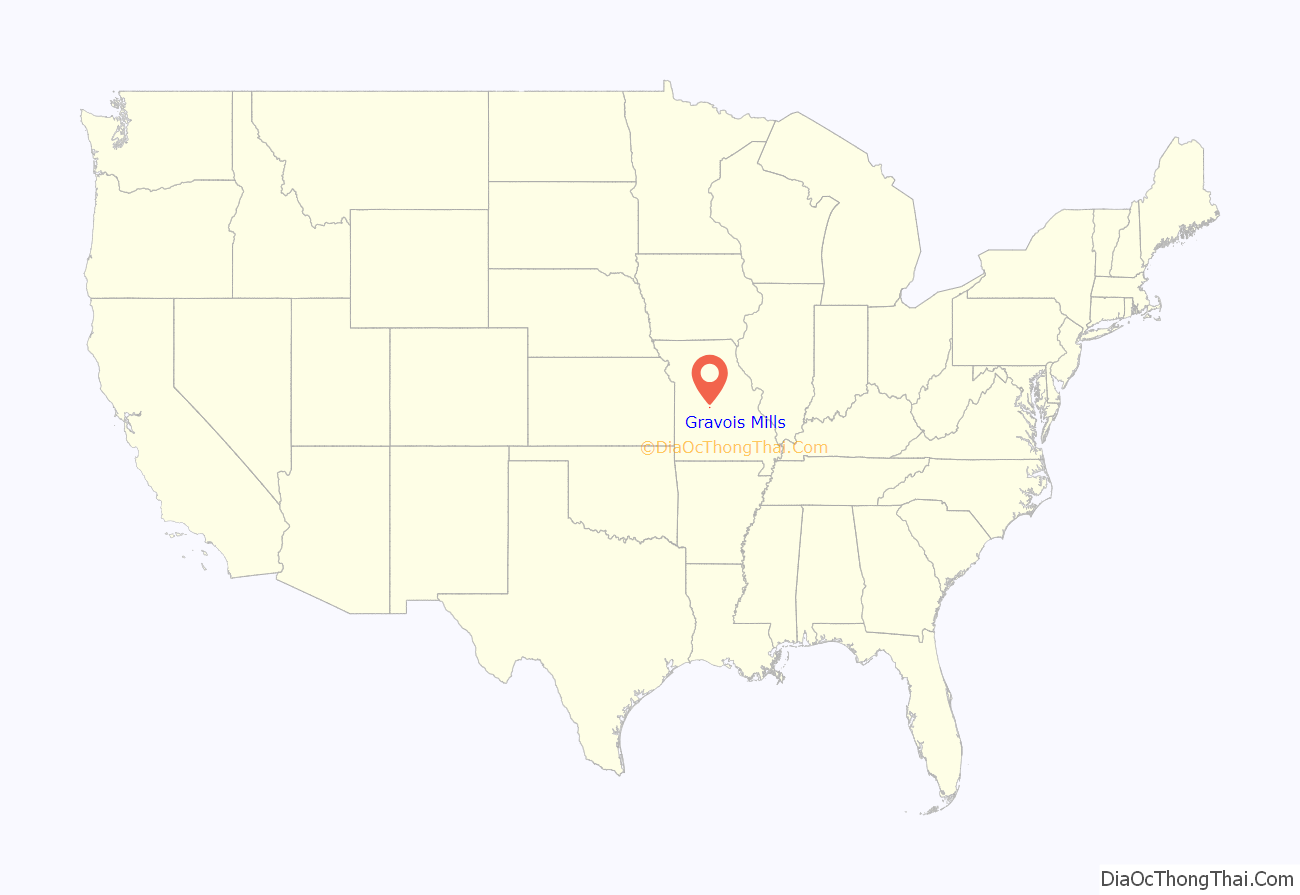
Gravois Mills is a town in Morgan County, Missouri, United States. The population was 144 at the 2010 census.
| Name: | Gravois Mills town |
|---|---|
| LSAD Code: | 43 |
| LSAD Description: | town (suffix) |
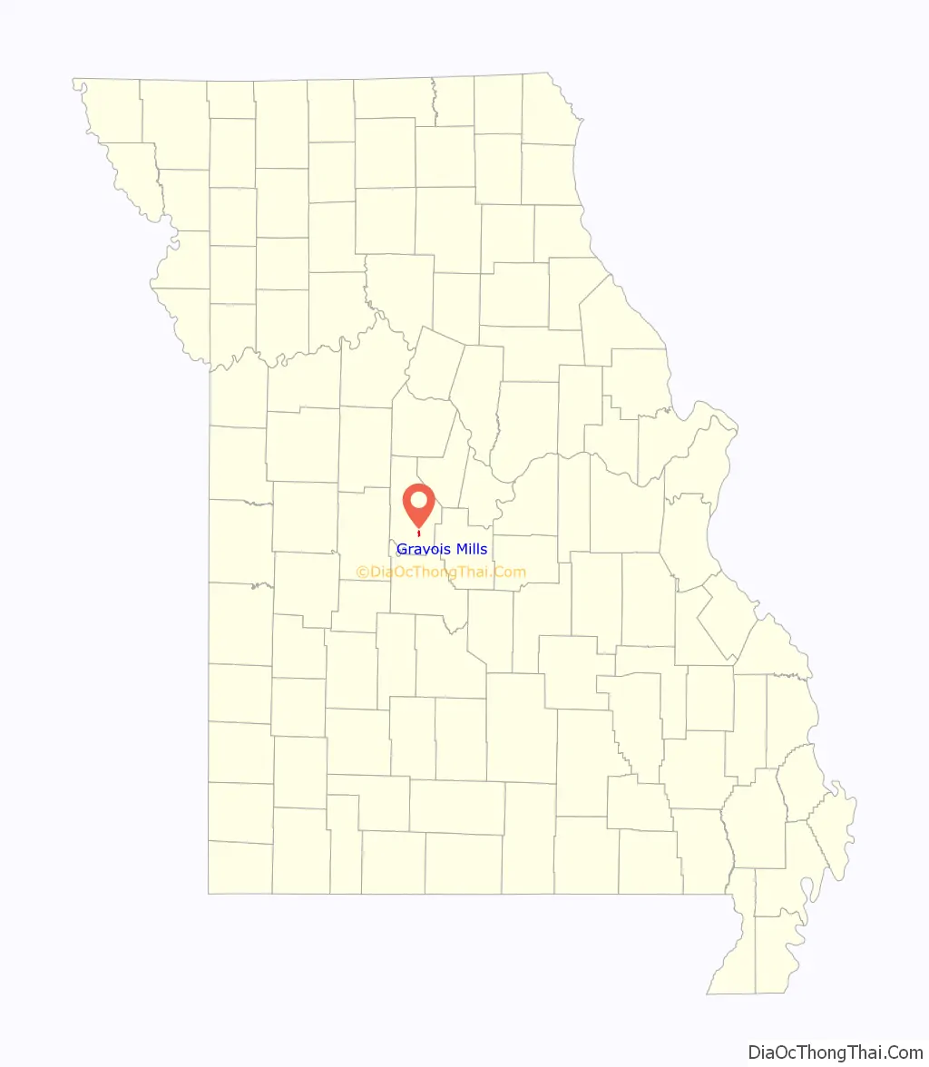
| State: | Missouri |
| County: | Morgan County |
| Elevation: | 755 ft (230 m) |
| Total Area: | 0.82 sq mi (2.13 km²) |
| Land Area: | 0.74 sq mi (1.92 km²) |
| Water Area: | 0.08 sq mi (0.21 km²) |
| Total Population: | 129 |
| Population Density: | 173.85/sq mi (67.10/km²) |
| ZIP code: | 65037-65038 |
| Area code: | 573 |
| FIPS code: | 2928828 |
| GNISfeature ID: | 0766158 |
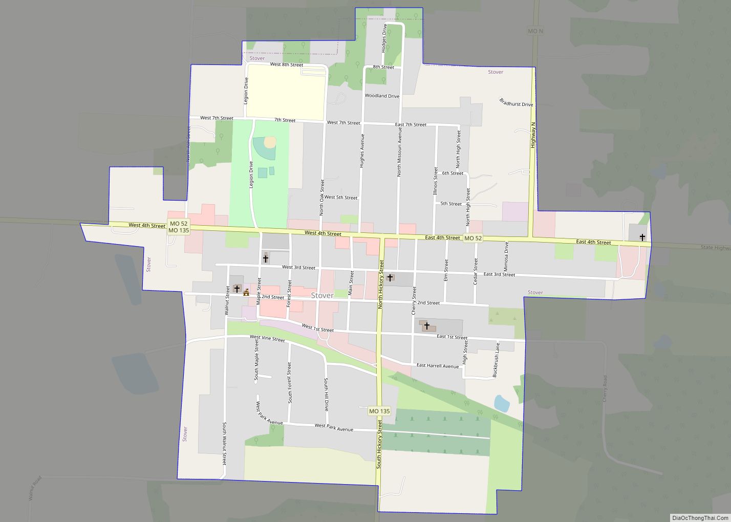
Online Interactive Map
Click on ![]() to view map in "full screen" mode.
to view map in "full screen" mode.
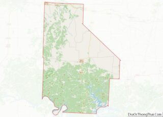
Gravois Mills location map. Where is Gravois Mills town?
History
Gravois Mills was laid out in 1884, and named for a nearby gristmill on Gravois Creek. A post office called Gravois Mills has been in operation since 1860.
Old St. Patrick’s Church was listed on the National Register of Historic Places in 1979.
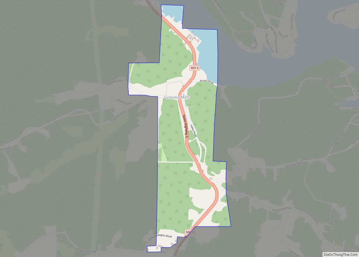
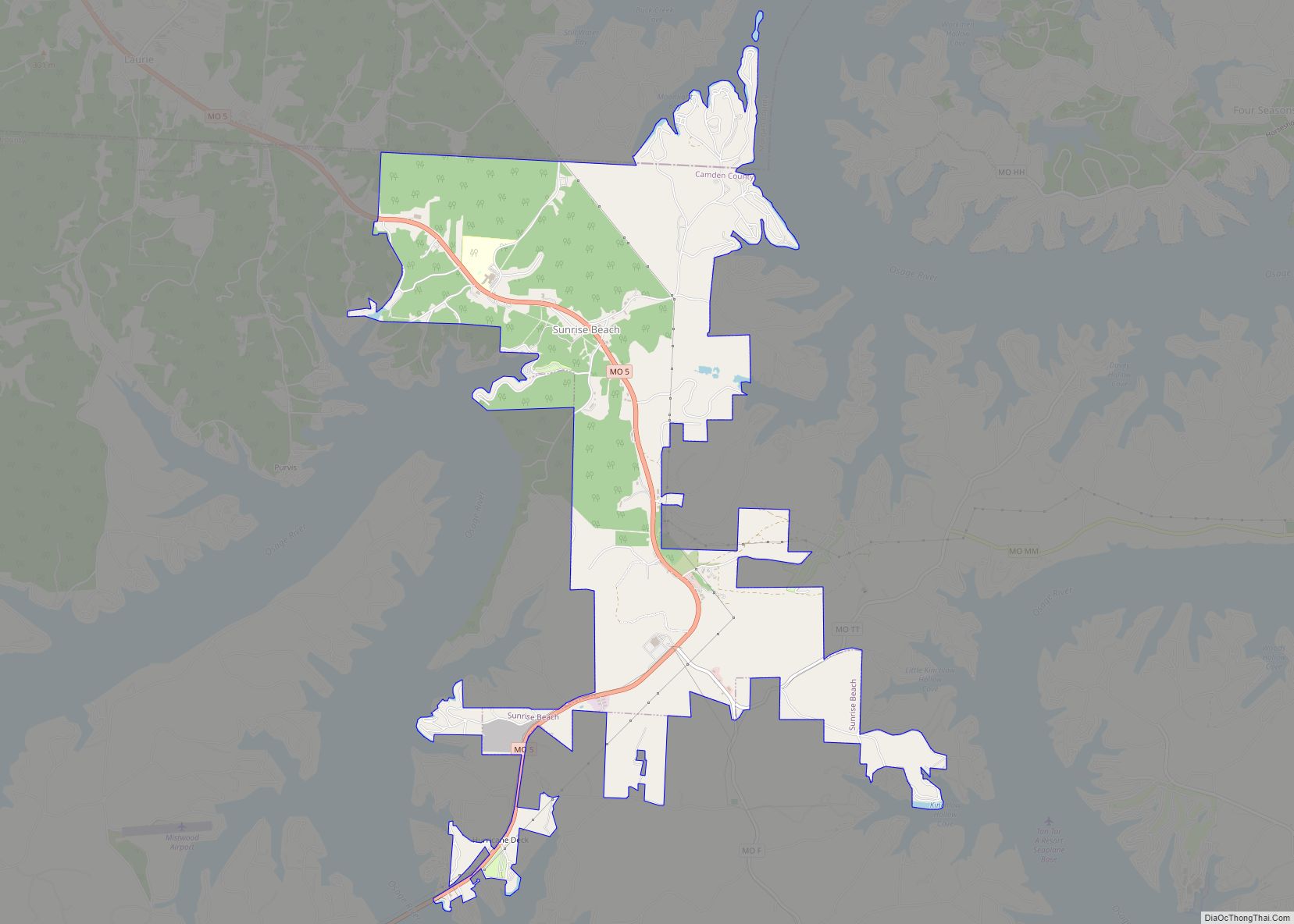
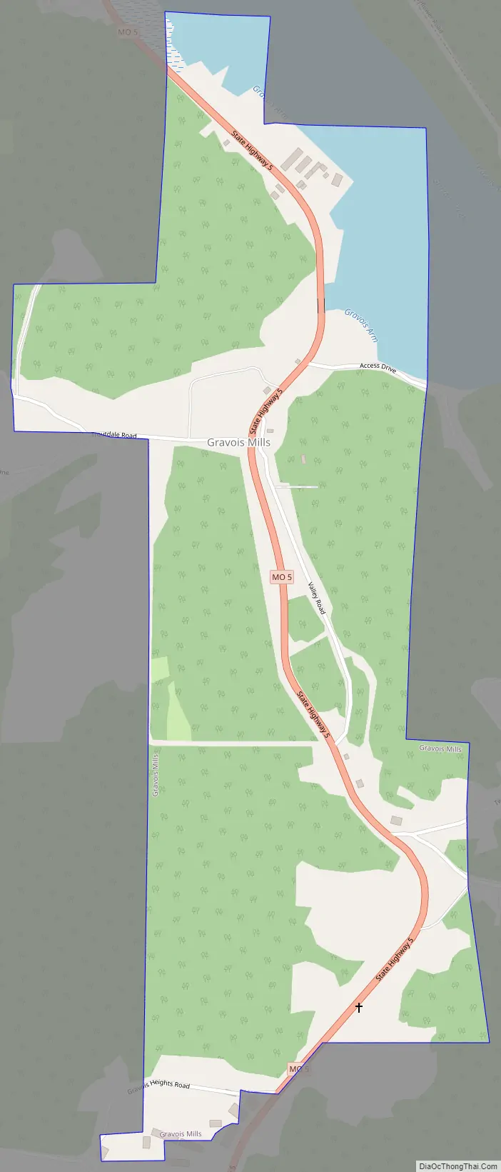
Gravois Mills Road Map
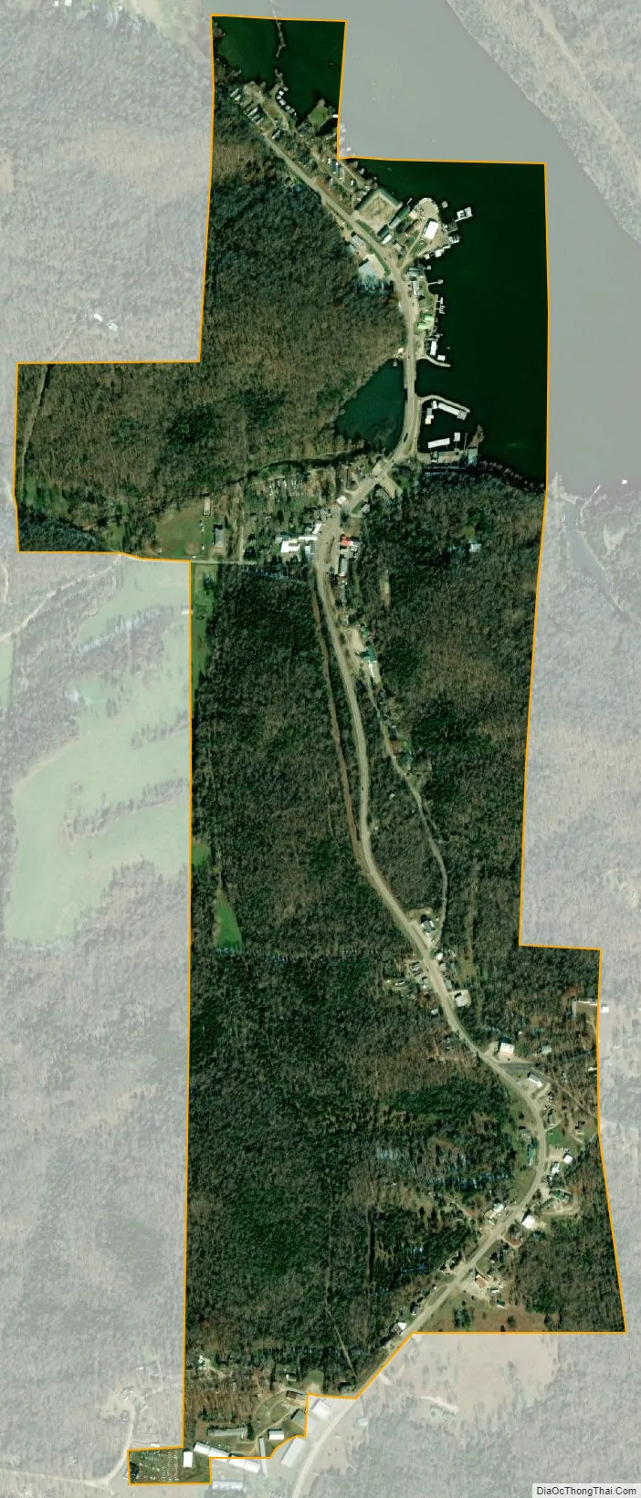
Gravois Mills city Satellite Map
Geography
Gravois Mills is located on the upper end of the Gravois Creek arm of the Lake of the Ozarks and Missouri Route 5. Versailles is about seven miles north and Sunrise Beach is approximately ten miles to the south along Route 5.
According to the United States Census Bureau, the village has a total area of 0.82 square miles (2.12 km), of which 0.74 square miles (1.92 km) is land and 0.08 square miles (0.21 km) is water.
See also
Map of Missouri State and its subdivision:- Adair
- Andrew
- Atchison
- Audrain
- Barry
- Barton
- Bates
- Benton
- Bollinger
- Boone
- Buchanan
- Butler
- Caldwell
- Callaway
- Camden
- Cape Girardeau
- Carroll
- Carter
- Cass
- Cedar
- Chariton
- Christian
- Clark
- Clay
- Clinton
- Cole
- Cooper
- Crawford
- Dade
- Dallas
- Daviess
- De Kalb
- Dent
- Douglas
- Dunklin
- Franklin
- Gasconade
- Gentry
- Greene
- Grundy
- Harrison
- Henry
- Hickory
- Holt
- Howard
- Howell
- Iron
- Jackson
- Jasper
- Jefferson
- Johnson
- Knox
- Laclede
- Lafayette
- Lawrence
- Lewis
- Lincoln
- Linn
- Livingston
- Macon
- Madison
- Maries
- Marion
- McDonald
- Mercer
- Miller
- Mississippi
- Moniteau
- Monroe
- Montgomery
- Morgan
- New Madrid
- Newton
- Nodaway
- Oregon
- Osage
- Ozark
- Pemiscot
- Perry
- Pettis
- Phelps
- Pike
- Platte
- Polk
- Pulaski
- Putnam
- Ralls
- Randolph
- Ray
- Reynolds
- Ripley
- Saint Charles
- Saint Clair
- Saint Francois
- Saint Louis
- Sainte Genevieve
- Saline
- Schuyler
- Scotland
- Scott
- Shannon
- Shelby
- Stoddard
- Stone
- Sullivan
- Taney
- Texas
- Vernon
- Warren
- Washington
- Wayne
- Webster
- Worth
- Wright
- Alabama
- Alaska
- Arizona
- Arkansas
- California
- Colorado
- Connecticut
- Delaware
- District of Columbia
- Florida
- Georgia
- Hawaii
- Idaho
- Illinois
- Indiana
- Iowa
- Kansas
- Kentucky
- Louisiana
- Maine
- Maryland
- Massachusetts
- Michigan
- Minnesota
- Mississippi
- Missouri
- Montana
- Nebraska
- Nevada
- New Hampshire
- New Jersey
- New Mexico
- New York
- North Carolina
- North Dakota
- Ohio
- Oklahoma
- Oregon
- Pennsylvania
- Rhode Island
- South Carolina
- South Dakota
- Tennessee
- Texas
- Utah
- Vermont
- Virginia
- Washington
- West Virginia
- Wisconsin
- Wyoming