Herculaneum is a city in Jefferson County, Missouri, United States, and is a suburb of St. Louis. The population was 4,273 at the 2020 United States Census. The City of Herculaneum was the first county seat of Jefferson County from January 1, 1819 to 1839. The city celebrated its bicentennial throughout 2008.
The city received the “Tree City USA” designation by the Arbor Day Foundation for 11 consecutive years, 2007 through 2017. The city is the honorary hometown of the 40th Airlift Squadron, “The Screaming Eagles,” from Dyess Air Force Base in Texas.
| Name: | Herculaneum city |
|---|---|
| LSAD Code: | 25 |
| LSAD Description: | city (suffix) |
| State: | Missouri |
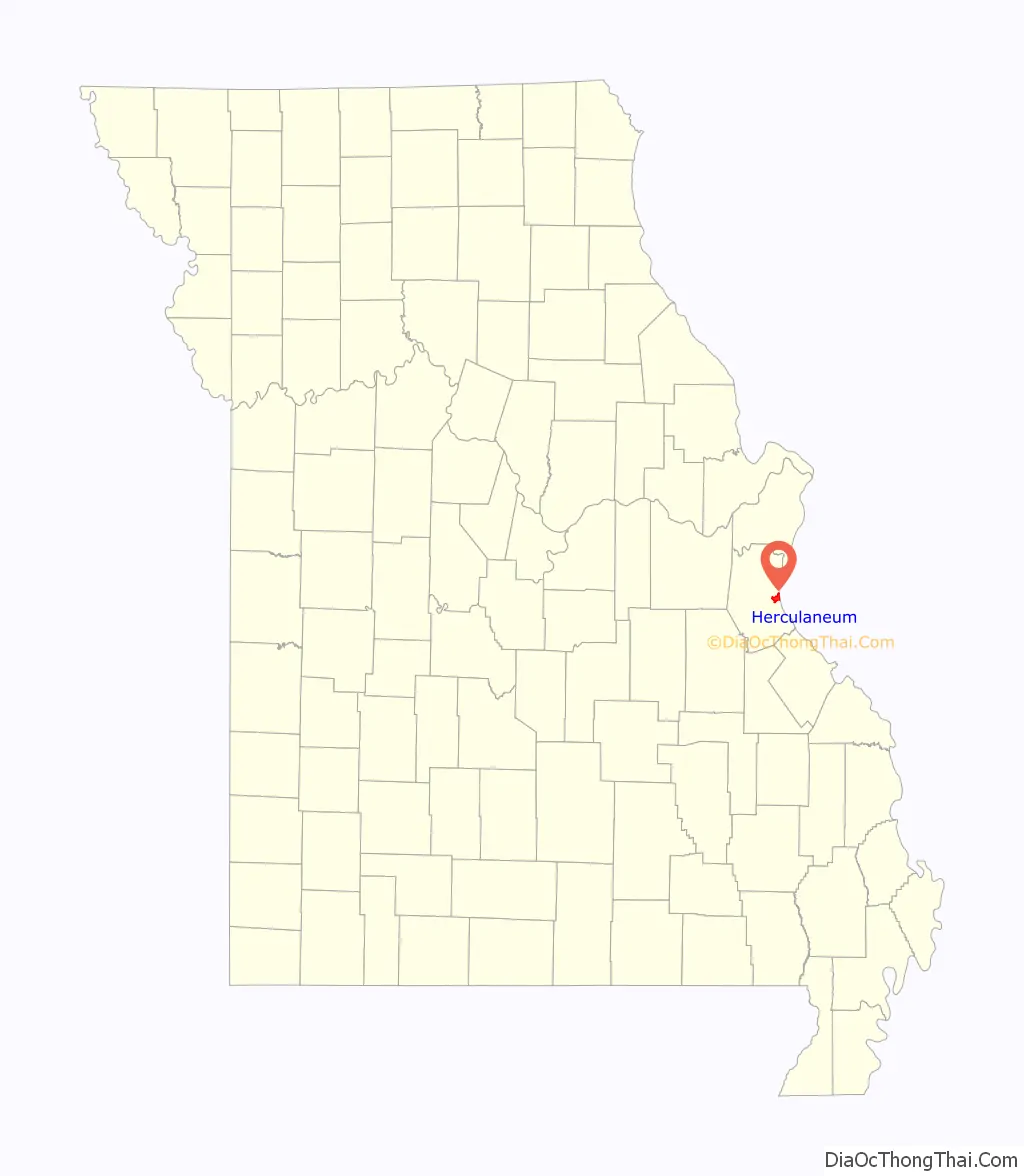
| County: | Jefferson County |
| Incorporated: | July 27, 1819 (April 1972) |
| Elevation: | 440 ft (130 m) |
| Total Area: | 4.19 sq mi (10.84 km²) |
| Land Area: | 4.16 sq mi (10.77 km²) |
| Water Area: | 0.03 sq mi (0.08 km²) |
| Total Population: | 4,672 |
| Population Density: | 1,123.62/sq mi (433.85/km²) |
| ZIP code: | 63048 |
| Area code: | 636 |
| FIPS code: | 2931708 |
| GNISfeature ID: | 2394358 |
| Website: | cityofherculaneum.org |
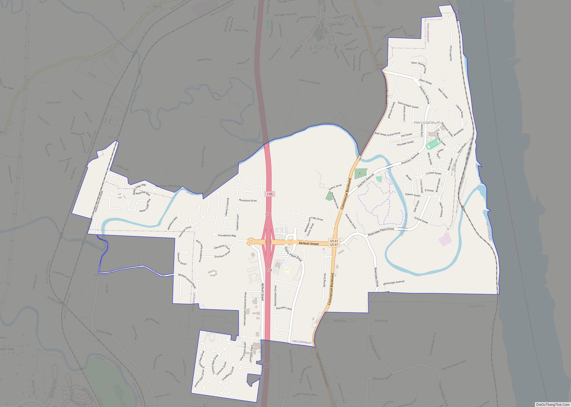
Online Interactive Map
Click on ![]() to view map in "full screen" mode.
to view map in "full screen" mode.
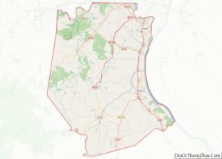
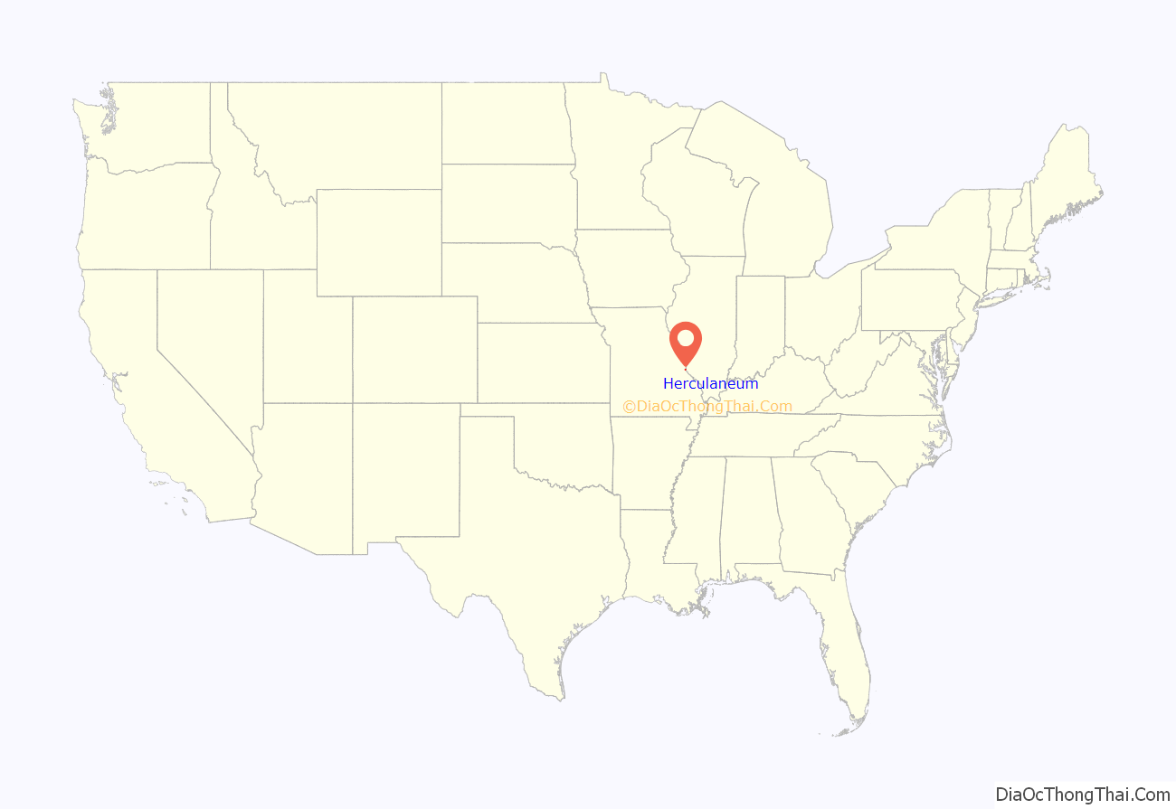
Herculaneum location map. Where is Herculaneum city?
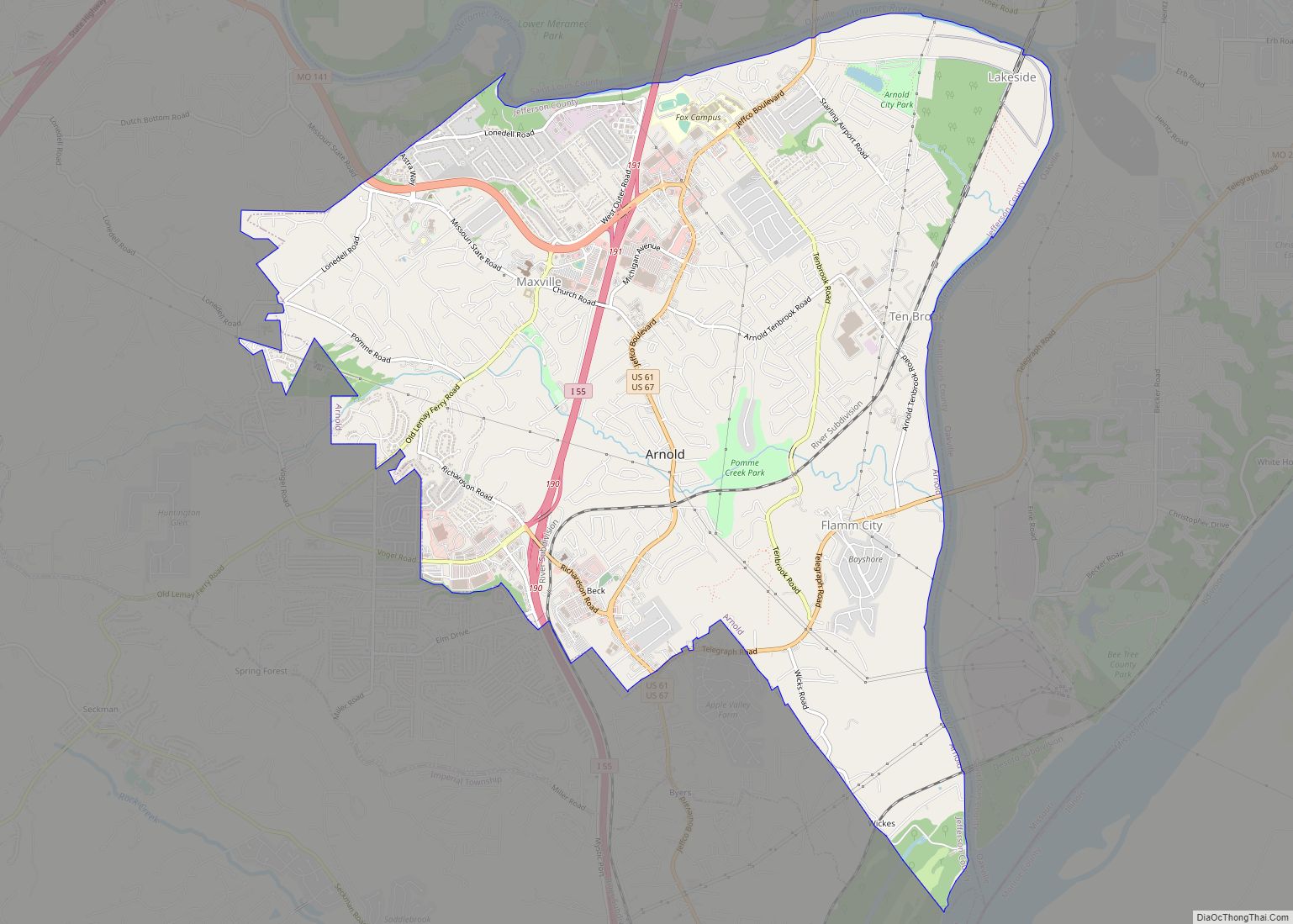
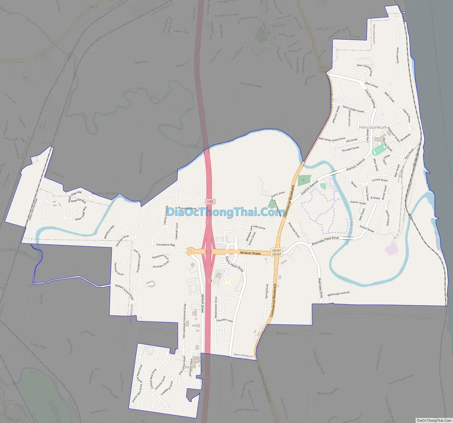
Herculaneum Road Map
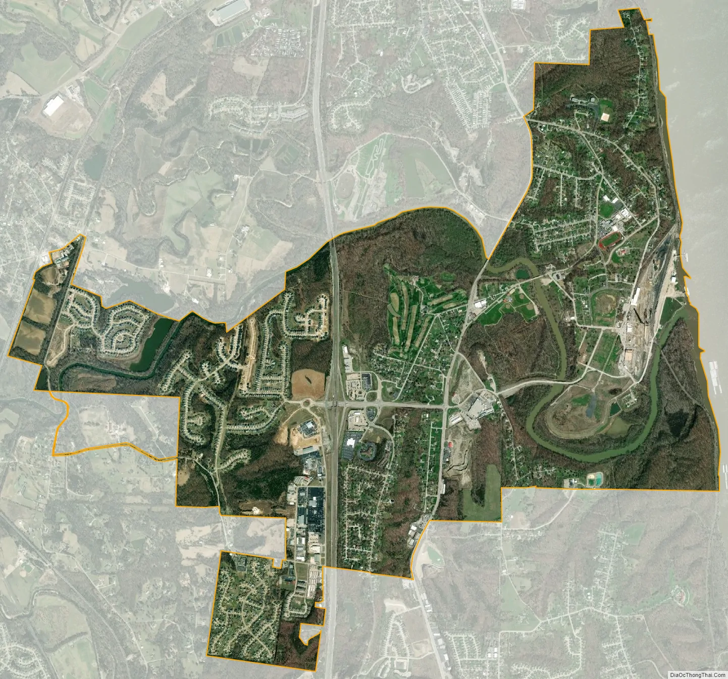
Herculaneum city Satellite Map
Geography
According to the United States Census Bureau, the city has a total area of 4.10 square miles (10.62 km), of which 4.06 square miles (10.52 km) is land and 0.04 square miles (0.10 km) is water.
See also
Map of Missouri State and its subdivision:- Adair
- Andrew
- Atchison
- Audrain
- Barry
- Barton
- Bates
- Benton
- Bollinger
- Boone
- Buchanan
- Butler
- Caldwell
- Callaway
- Camden
- Cape Girardeau
- Carroll
- Carter
- Cass
- Cedar
- Chariton
- Christian
- Clark
- Clay
- Clinton
- Cole
- Cooper
- Crawford
- Dade
- Dallas
- Daviess
- De Kalb
- Dent
- Douglas
- Dunklin
- Franklin
- Gasconade
- Gentry
- Greene
- Grundy
- Harrison
- Henry
- Hickory
- Holt
- Howard
- Howell
- Iron
- Jackson
- Jasper
- Jefferson
- Johnson
- Knox
- Laclede
- Lafayette
- Lawrence
- Lewis
- Lincoln
- Linn
- Livingston
- Macon
- Madison
- Maries
- Marion
- McDonald
- Mercer
- Miller
- Mississippi
- Moniteau
- Monroe
- Montgomery
- Morgan
- New Madrid
- Newton
- Nodaway
- Oregon
- Osage
- Ozark
- Pemiscot
- Perry
- Pettis
- Phelps
- Pike
- Platte
- Polk
- Pulaski
- Putnam
- Ralls
- Randolph
- Ray
- Reynolds
- Ripley
- Saint Charles
- Saint Clair
- Saint Francois
- Saint Louis
- Sainte Genevieve
- Saline
- Schuyler
- Scotland
- Scott
- Shannon
- Shelby
- Stoddard
- Stone
- Sullivan
- Taney
- Texas
- Vernon
- Warren
- Washington
- Wayne
- Webster
- Worth
- Wright
- Alabama
- Alaska
- Arizona
- Arkansas
- California
- Colorado
- Connecticut
- Delaware
- District of Columbia
- Florida
- Georgia
- Hawaii
- Idaho
- Illinois
- Indiana
- Iowa
- Kansas
- Kentucky
- Louisiana
- Maine
- Maryland
- Massachusetts
- Michigan
- Minnesota
- Mississippi
- Missouri
- Montana
- Nebraska
- Nevada
- New Hampshire
- New Jersey
- New Mexico
- New York
- North Carolina
- North Dakota
- Ohio
- Oklahoma
- Oregon
- Pennsylvania
- Rhode Island
- South Carolina
- South Dakota
- Tennessee
- Texas
- Utah
- Vermont
- Virginia
- Washington
- West Virginia
- Wisconsin
- Wyoming