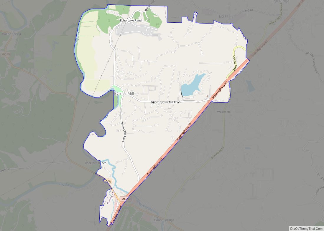
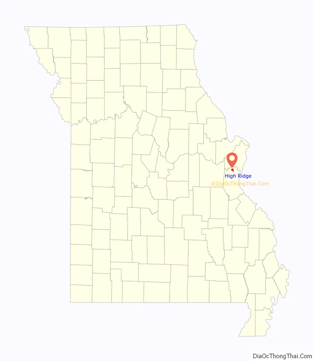
High Ridge is an unincorporated community and census-designated place (CDP) in Jefferson County, Missouri, United States. The population was 4,305 at the 2010 census. At 927 feet (283 m) above sea level, High Ridge is the second-highest point in Jefferson County, second only to Sun Ridge, north of Hillsboro, according to data from the House Springs/Hillsboro 7.5 minute topographic quadrangles. The Beaumont Scout Reservation, a property of the Greater St. Louis Area Council, Boy Scouts of America, is 4 miles (6 km) north of High Ridge.
| Name: | High Ridge CDP |
|---|---|
| LSAD Code: | 57 |
| LSAD Description: | CDP (suffix) |
| State: | Missouri |
| County: | Jefferson County |
| Elevation: | 922 ft (281 m) |
| Total Area: | 3.77 sq mi (9.77 km²) |
| Land Area: | 3.77 sq mi (9.77 km²) |
| Water Area: | 0.00 sq mi (0.00 km²) |
| Total Population: | 4,242 |
| Population Density: | 1,124.90/sq mi (434.33/km²) |
| ZIP code: | 63049 |
| Area code: | 636 |
| FIPS code: | 2932140 |
| GNISfeature ID: | 2393049 |
Online Interactive Map
Click on ![]() to view map in "full screen" mode.
to view map in "full screen" mode.
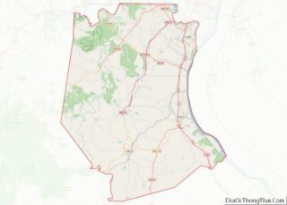
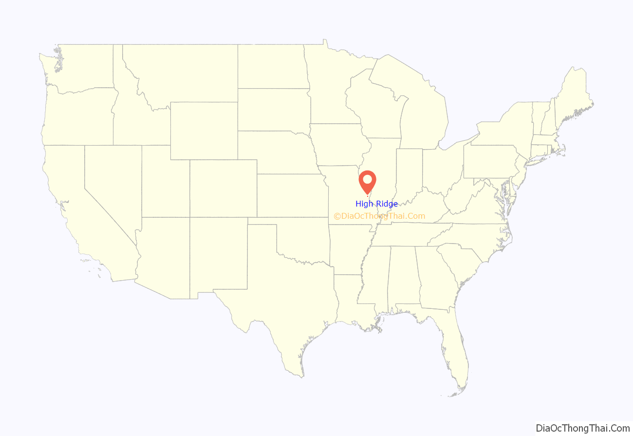
High Ridge location map. Where is High Ridge CDP?
History
A post office called High Ridge has been in operation since 1856. The community was so named on account of its lofty elevation.
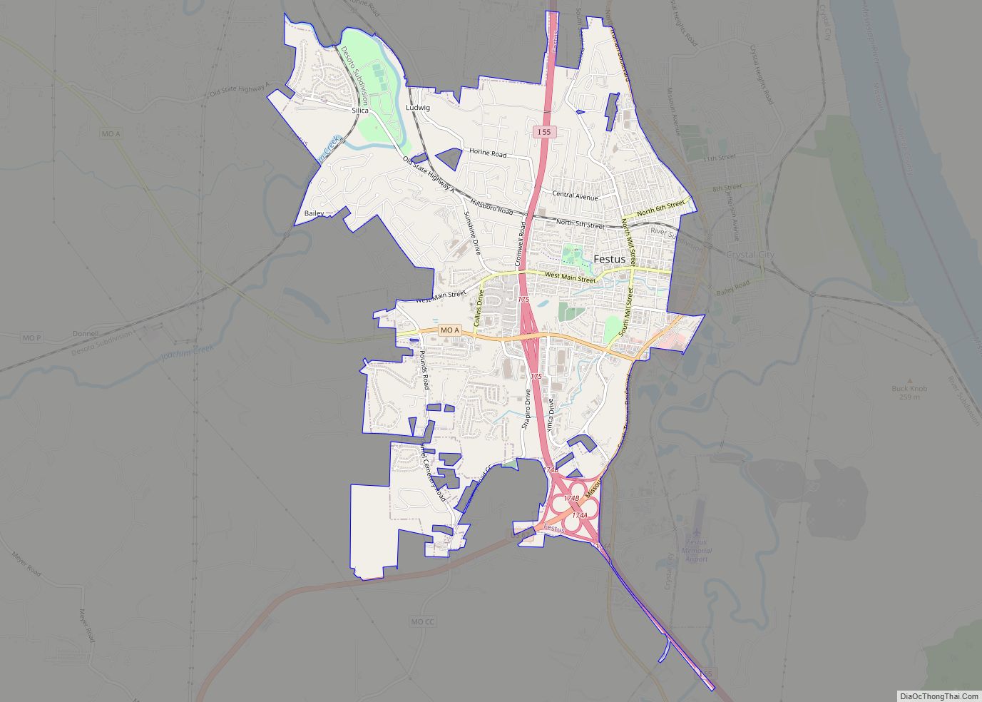
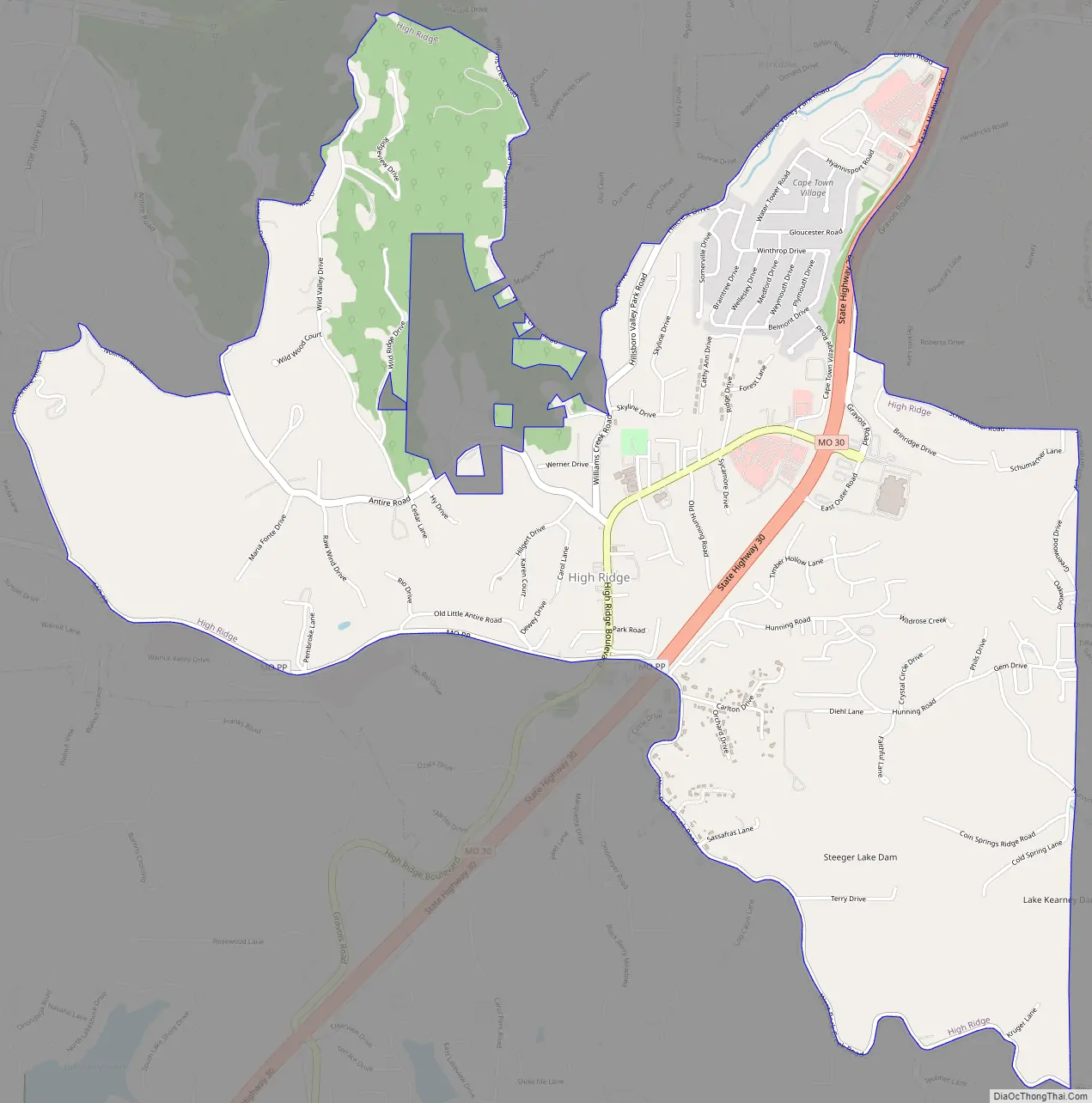
High Ridge Road Map
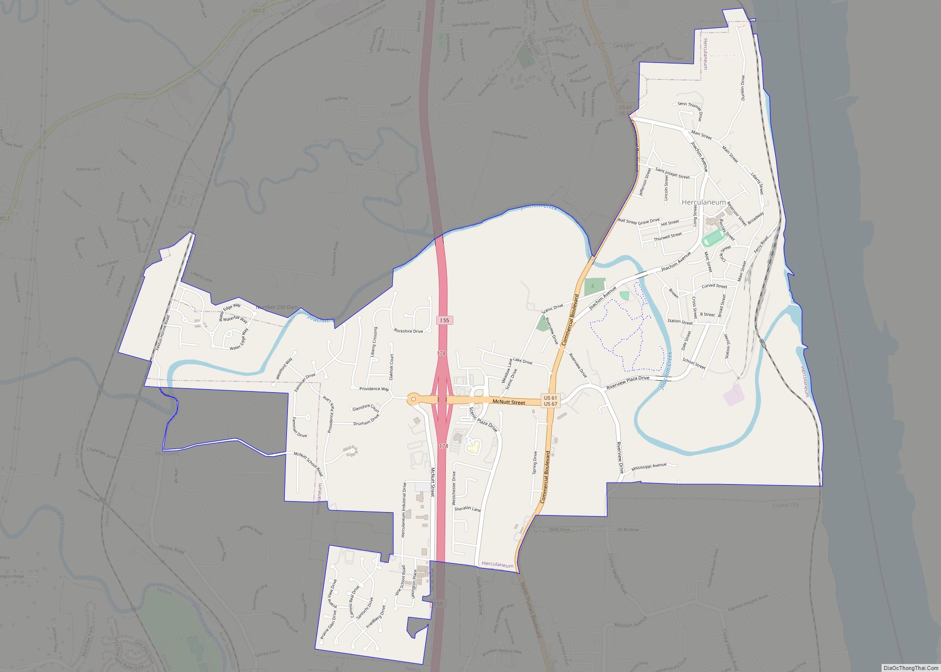
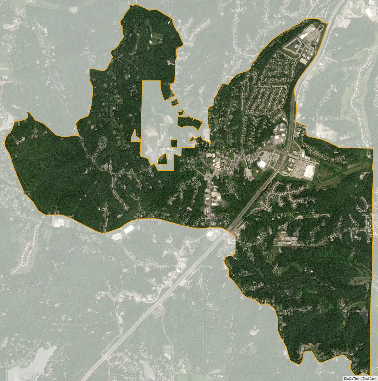
High Ridge city Satellite Map
Geography
High Ridge is located in northern Jefferson County and is bordered to the north by Peaceful Village and Parkville. Missouri Route 30 runs through the community, leading northeast 23 miles (37 km) to downtown St. Louis and southwest 31 miles (50 km) to St. Clair.
High Ridge is a nine-armed local topographic high, capped with the Bushberg Sandstone and part of the Burlington Escarpment. The high point of the ridge is located near the Senior Center just north of High Ridge Boulevard (old Gravois/Missouri Highway 30). Flowing off this topographic high are Antire Creek, Rock Creek, Williams Creek, Saline Creek, Sugar Creek, Romaine Creek, Bear Creek, Little Antire Creek, and lesser streams. The high ground is bounded to the west by the Big River and to the west, north, and east by the Meramec River. The ridge is very cherty, and poor for conventional farming, hence the area became known for fruit trees, strawberries, blackberries, and truck farm produce which were sold in St. Louis.
According to the United States Census Bureau, the High Ridge CDP has a total area of 3.80 square miles (9.85 km), all land.
See also
Map of Missouri State and its subdivision:- Adair
- Andrew
- Atchison
- Audrain
- Barry
- Barton
- Bates
- Benton
- Bollinger
- Boone
- Buchanan
- Butler
- Caldwell
- Callaway
- Camden
- Cape Girardeau
- Carroll
- Carter
- Cass
- Cedar
- Chariton
- Christian
- Clark
- Clay
- Clinton
- Cole
- Cooper
- Crawford
- Dade
- Dallas
- Daviess
- De Kalb
- Dent
- Douglas
- Dunklin
- Franklin
- Gasconade
- Gentry
- Greene
- Grundy
- Harrison
- Henry
- Hickory
- Holt
- Howard
- Howell
- Iron
- Jackson
- Jasper
- Jefferson
- Johnson
- Knox
- Laclede
- Lafayette
- Lawrence
- Lewis
- Lincoln
- Linn
- Livingston
- Macon
- Madison
- Maries
- Marion
- McDonald
- Mercer
- Miller
- Mississippi
- Moniteau
- Monroe
- Montgomery
- Morgan
- New Madrid
- Newton
- Nodaway
- Oregon
- Osage
- Ozark
- Pemiscot
- Perry
- Pettis
- Phelps
- Pike
- Platte
- Polk
- Pulaski
- Putnam
- Ralls
- Randolph
- Ray
- Reynolds
- Ripley
- Saint Charles
- Saint Clair
- Saint Francois
- Saint Louis
- Sainte Genevieve
- Saline
- Schuyler
- Scotland
- Scott
- Shannon
- Shelby
- Stoddard
- Stone
- Sullivan
- Taney
- Texas
- Vernon
- Warren
- Washington
- Wayne
- Webster
- Worth
- Wright
- Alabama
- Alaska
- Arizona
- Arkansas
- California
- Colorado
- Connecticut
- Delaware
- District of Columbia
- Florida
- Georgia
- Hawaii
- Idaho
- Illinois
- Indiana
- Iowa
- Kansas
- Kentucky
- Louisiana
- Maine
- Maryland
- Massachusetts
- Michigan
- Minnesota
- Mississippi
- Missouri
- Montana
- Nebraska
- Nevada
- New Hampshire
- New Jersey
- New Mexico
- New York
- North Carolina
- North Dakota
- Ohio
- Oklahoma
- Oregon
- Pennsylvania
- Rhode Island
- South Carolina
- South Dakota
- Tennessee
- Texas
- Utah
- Vermont
- Virginia
- Washington
- West Virginia
- Wisconsin
- Wyoming