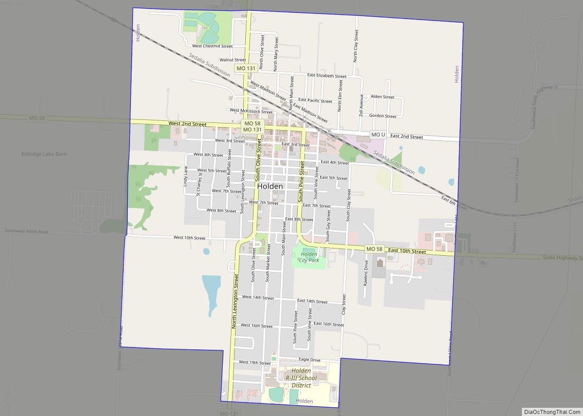
Holden is a city in western Johnson County, Missouri, United States. The population was 2,252 at the 2010 census.
| Name: | Holden city |
|---|---|
| LSAD Code: | 25 |
| LSAD Description: | city (suffix) |
| State: | Missouri |
| County: | Johnson County |
| Elevation: | 853 ft (260 m) |
| Total Area: | 2.42 sq mi (6.26 km²) |
| Land Area: | 2.41 sq mi (6.24 km²) |
| Water Area: | 0.01 sq mi (0.02 km²) |
| Total Population: | 2,210 |
| Population Density: | 916.63/sq mi (353.98/km²) |
| ZIP code: | 64040 |
| Area code: | 816 |
| FIPS code: | 2932572 |
| GNISfeature ID: | 0719697 |
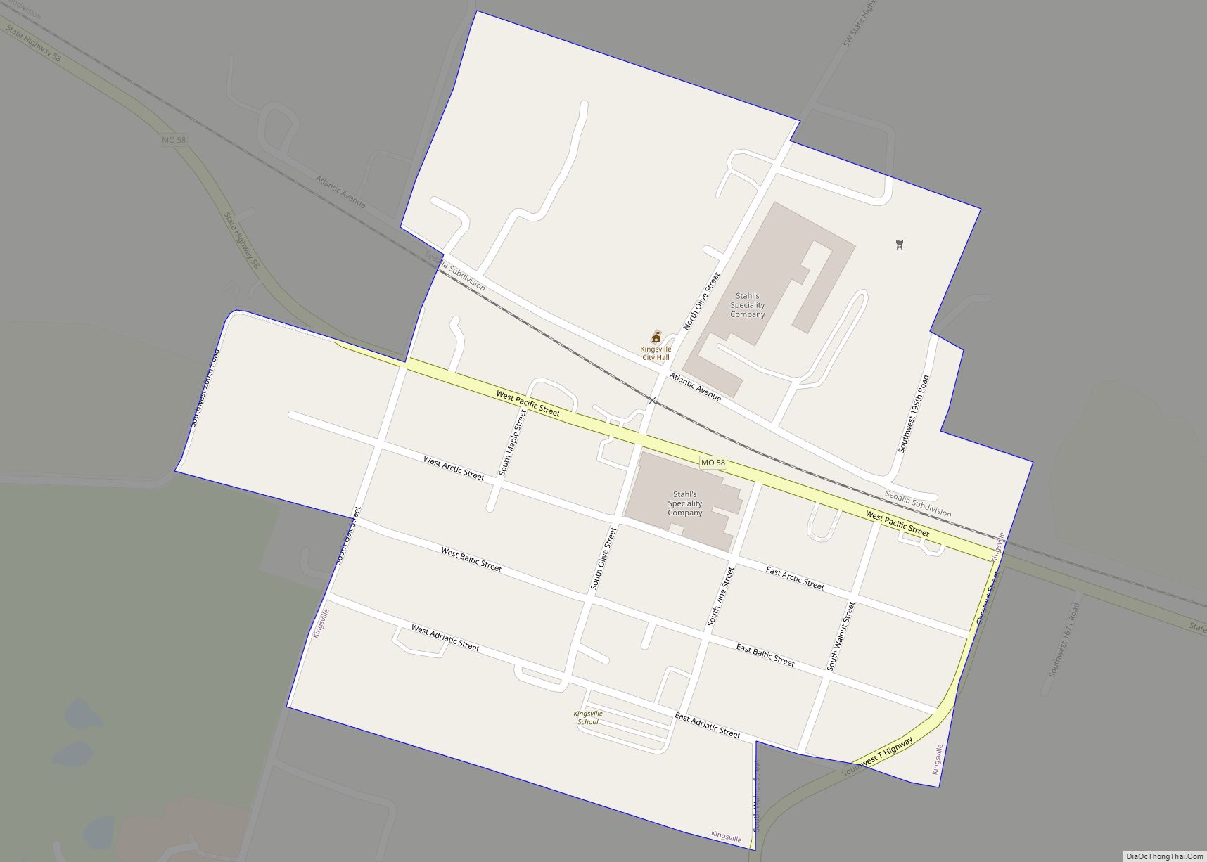
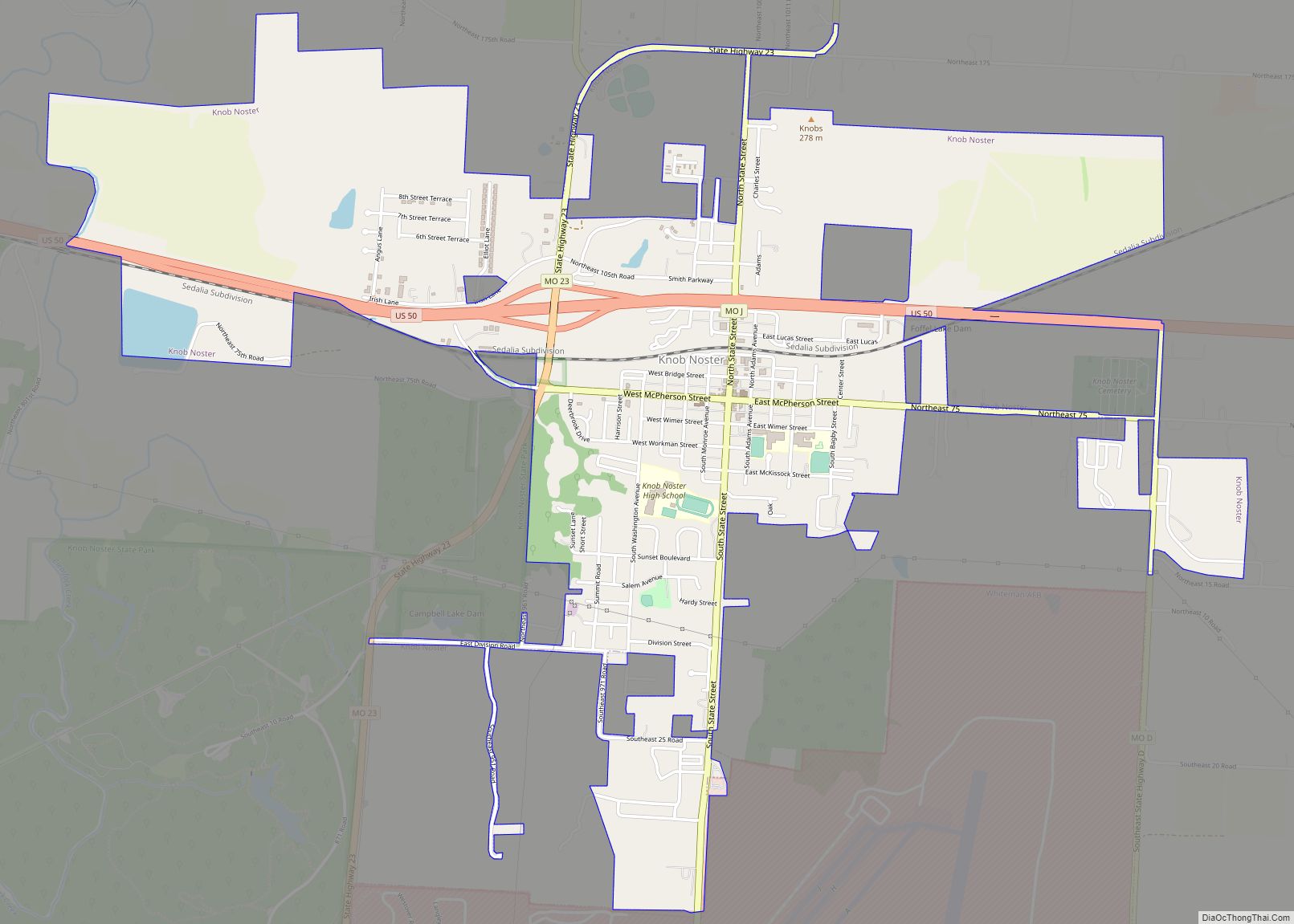
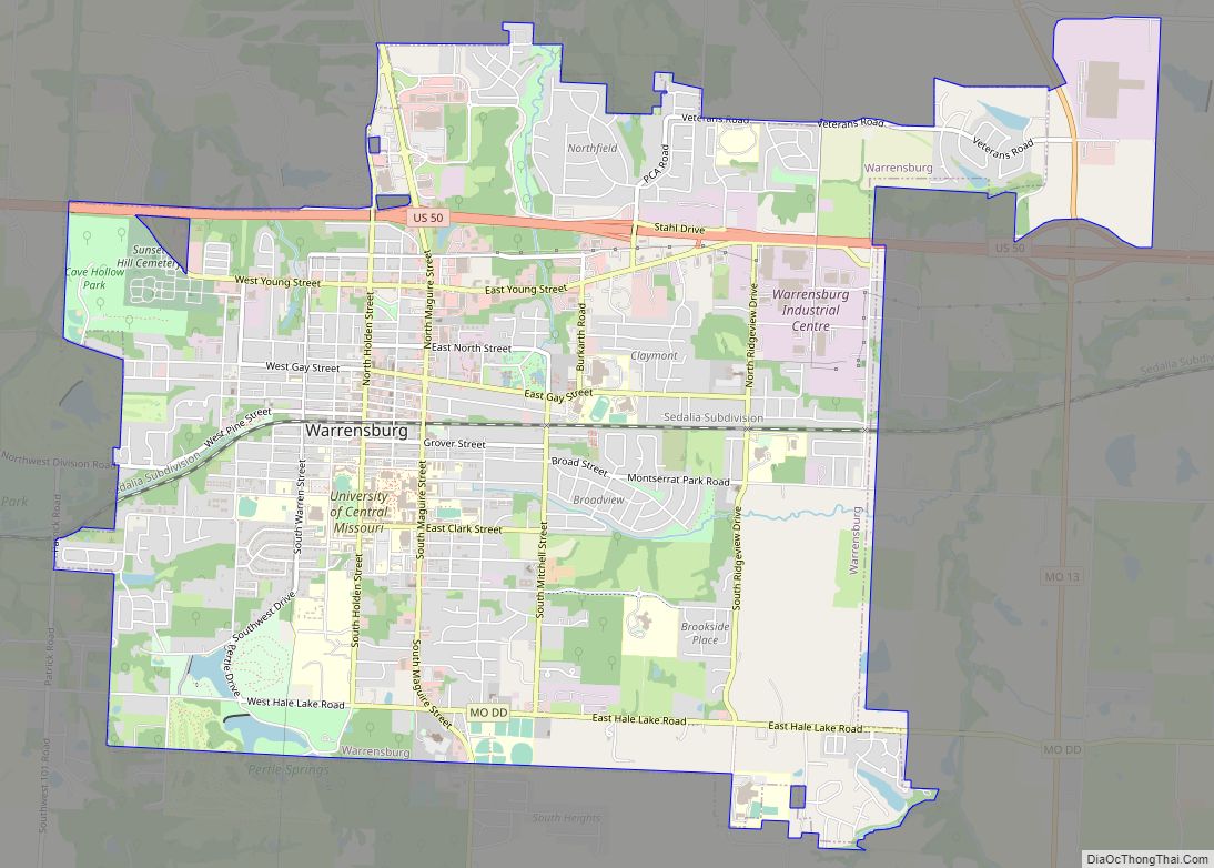
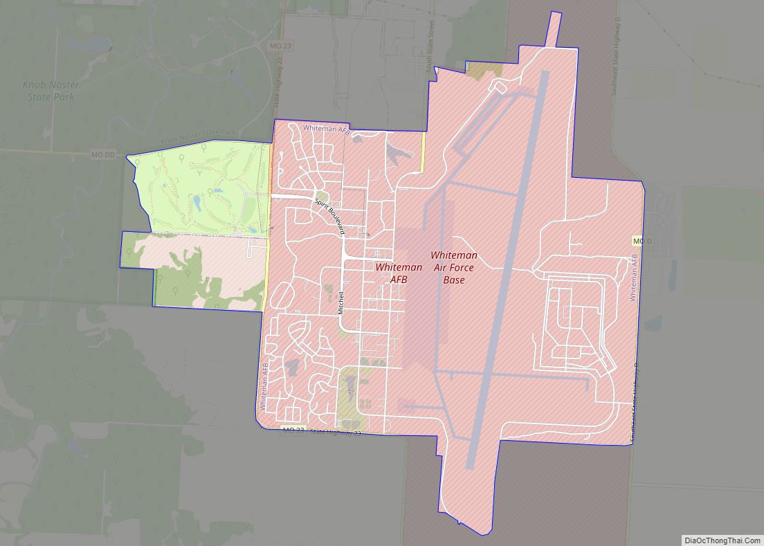
Online Interactive Map
Click on ![]() to view map in "full screen" mode.
to view map in "full screen" mode.
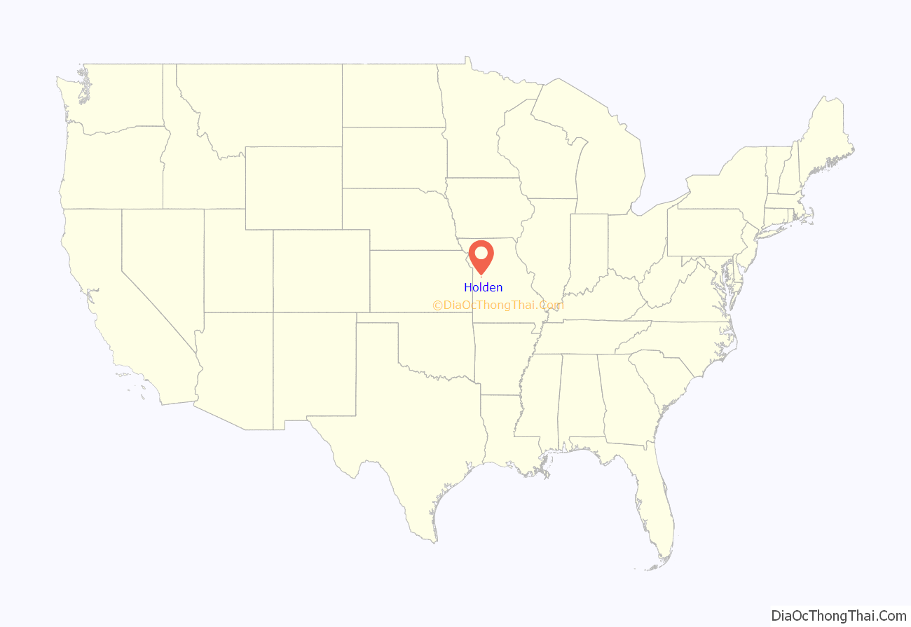
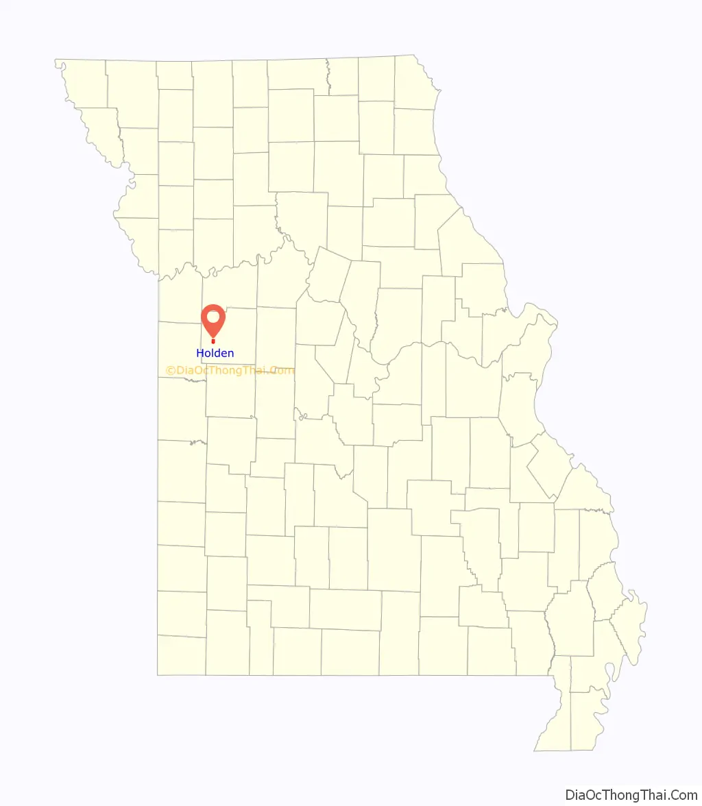
Holden location map. Where is Holden city?
History
Holden was laid out in 1857. It was named for Major Nathaniel Holden, a local politician who was instrumental in bringing the railroad to the area.
Anti-saloon advocate Carrie Nation lived in Holden in the 1870s, where she worked as a teacher.
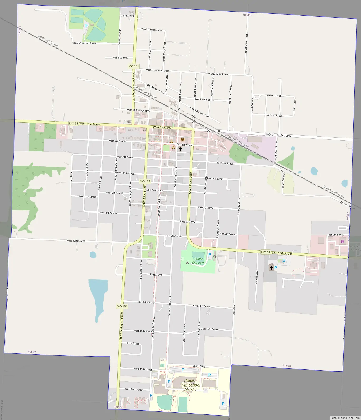
Holden Road Map
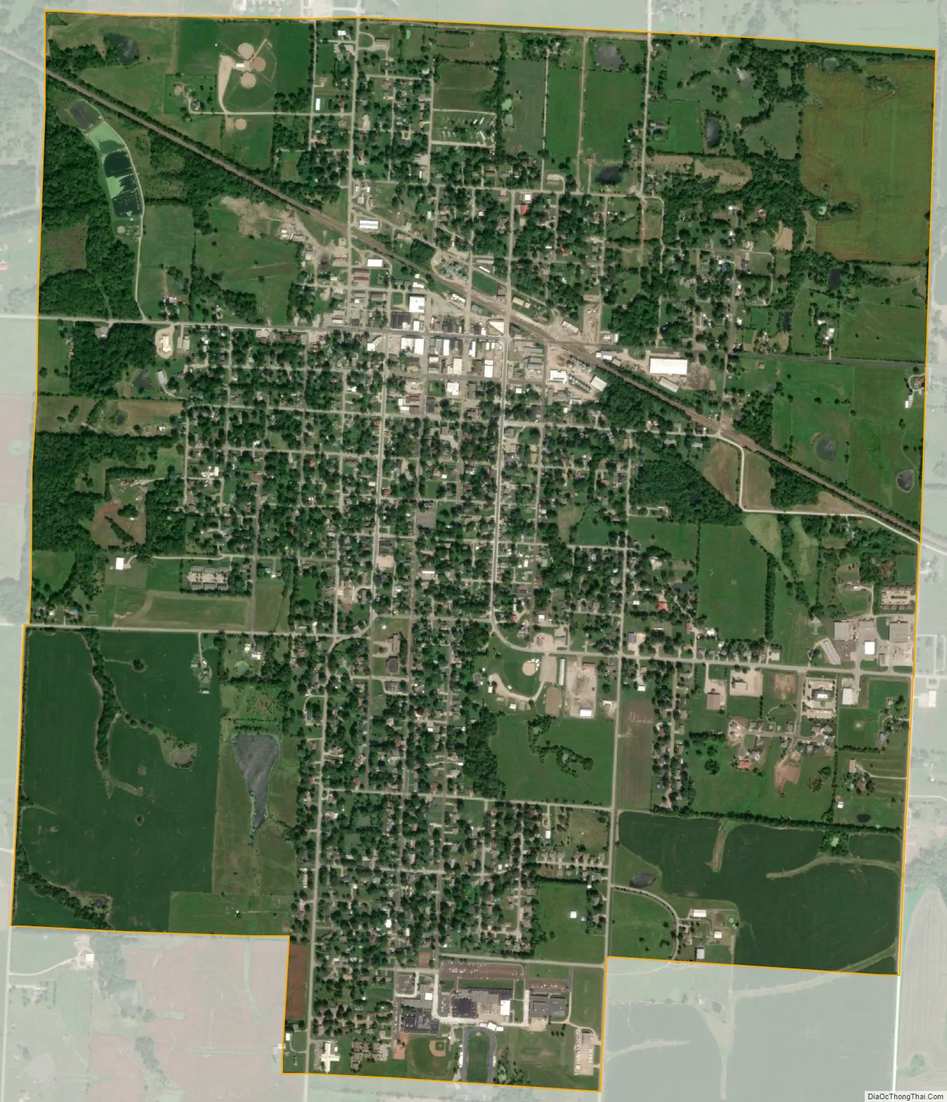
Holden city Satellite Map
Geography
Holden is located at the intersection of Missouri routes 131 and 58. Warrensburg is approximately 13 miles to the east.
According to the United States Census Bureau, the city has a total area of 2.42 square miles (6.27 km), of which 2.41 square miles (6.24 km) is land and 0.01 square miles (0.03 km) is water.
See also
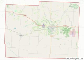
Map of Missouri State and its subdivision:- Adair
- Andrew
- Atchison
- Audrain
- Barry
- Barton
- Bates
- Benton
- Bollinger
- Boone
- Buchanan
- Butler
- Caldwell
- Callaway
- Camden
- Cape Girardeau
- Carroll
- Carter
- Cass
- Cedar
- Chariton
- Christian
- Clark
- Clay
- Clinton
- Cole
- Cooper
- Crawford
- Dade
- Dallas
- Daviess
- De Kalb
- Dent
- Douglas
- Dunklin
- Franklin
- Gasconade
- Gentry
- Greene
- Grundy
- Harrison
- Henry
- Hickory
- Holt
- Howard
- Howell
- Iron
- Jackson
- Jasper
- Jefferson
- Johnson
- Knox
- Laclede
- Lafayette
- Lawrence
- Lewis
- Lincoln
- Linn
- Livingston
- Macon
- Madison
- Maries
- Marion
- McDonald
- Mercer
- Miller
- Mississippi
- Moniteau
- Monroe
- Montgomery
- Morgan
- New Madrid
- Newton
- Nodaway
- Oregon
- Osage
- Ozark
- Pemiscot
- Perry
- Pettis
- Phelps
- Pike
- Platte
- Polk
- Pulaski
- Putnam
- Ralls
- Randolph
- Ray
- Reynolds
- Ripley
- Saint Charles
- Saint Clair
- Saint Francois
- Saint Louis
- Sainte Genevieve
- Saline
- Schuyler
- Scotland
- Scott
- Shannon
- Shelby
- Stoddard
- Stone
- Sullivan
- Taney
- Texas
- Vernon
- Warren
- Washington
- Wayne
- Webster
- Worth
- Wright
- Alabama
- Alaska
- Arizona
- Arkansas
- California
- Colorado
- Connecticut
- Delaware
- District of Columbia
- Florida
- Georgia
- Hawaii
- Idaho
- Illinois
- Indiana
- Iowa
- Kansas
- Kentucky
- Louisiana
- Maine
- Maryland
- Massachusetts
- Michigan
- Minnesota
- Mississippi
- Missouri
- Montana
- Nebraska
- Nevada
- New Hampshire
- New Jersey
- New Mexico
- New York
- North Carolina
- North Dakota
- Ohio
- Oklahoma
- Oregon
- Pennsylvania
- Rhode Island
- South Carolina
- South Dakota
- Tennessee
- Texas
- Utah
- Vermont
- Virginia
- Washington
- West Virginia
- Wisconsin
- Wyoming