Howardville is a city in New Madrid County, Missouri, United States. The population was 383 at the 2010 census.
| Name: | Howardville city |
|---|---|
| LSAD Code: | 25 |
| LSAD Description: | city (suffix) |
| State: | Missouri |
| County: | New Madrid County |
| Elevation: | 292 ft (89 m) |
| Total Area: | 0.23 sq mi (0.59 km²) |
| Land Area: | 0.23 sq mi (0.59 km²) |
| Water Area: | 0.00 sq mi (0.00 km²) |
| Total Population: | 277 |
| Population Density: | 1,214.91/sq mi (468.41/km²) |
| ZIP code: | 63869 |
| Area code: | 573 |
| FIPS code: | 2933364 |
| GNISfeature ID: | 0719923 |
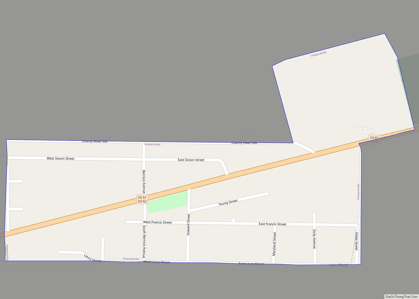
Online Interactive Map
Click on ![]() to view map in "full screen" mode.
to view map in "full screen" mode.
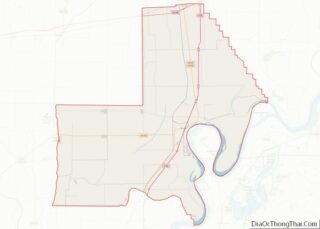
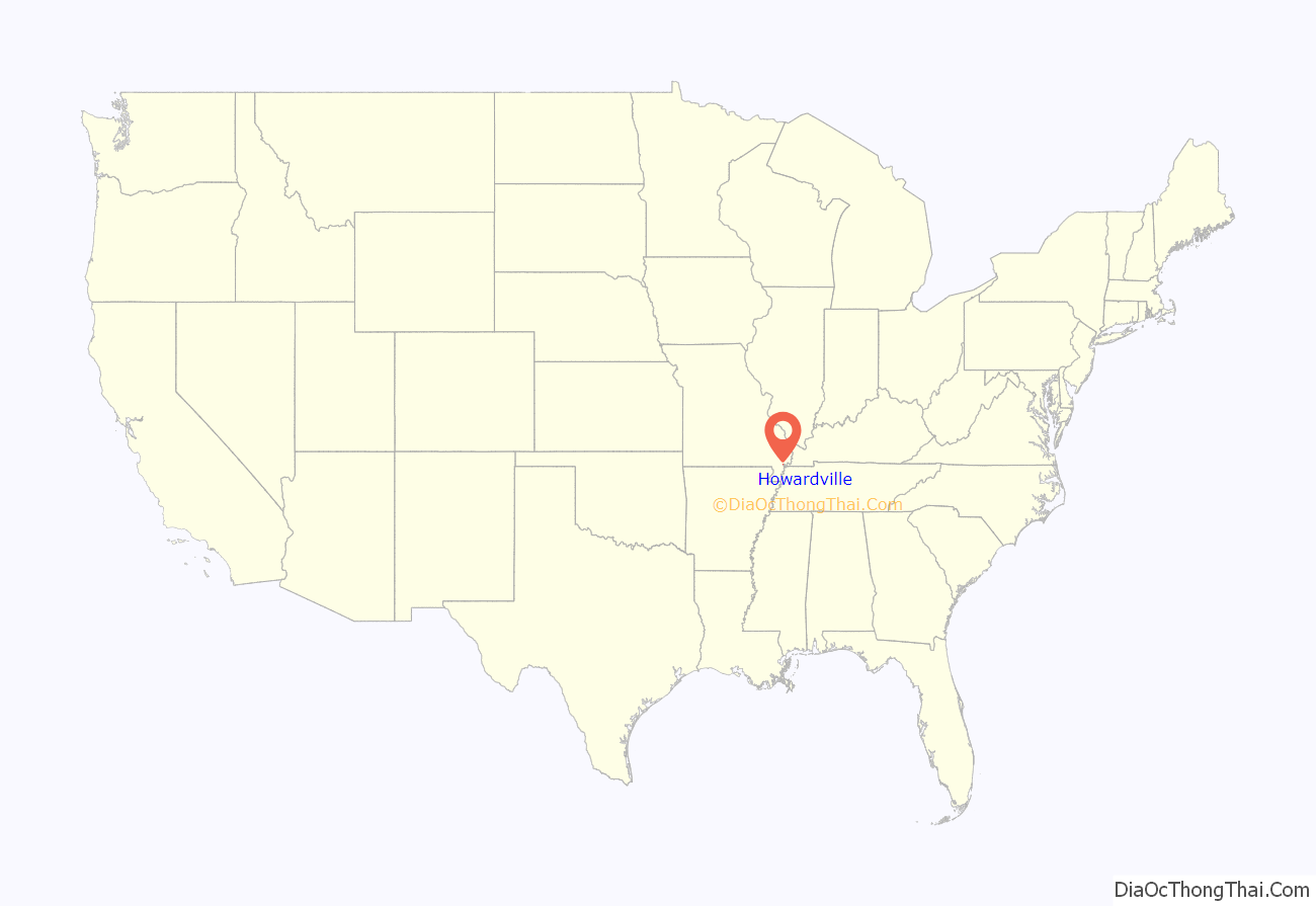
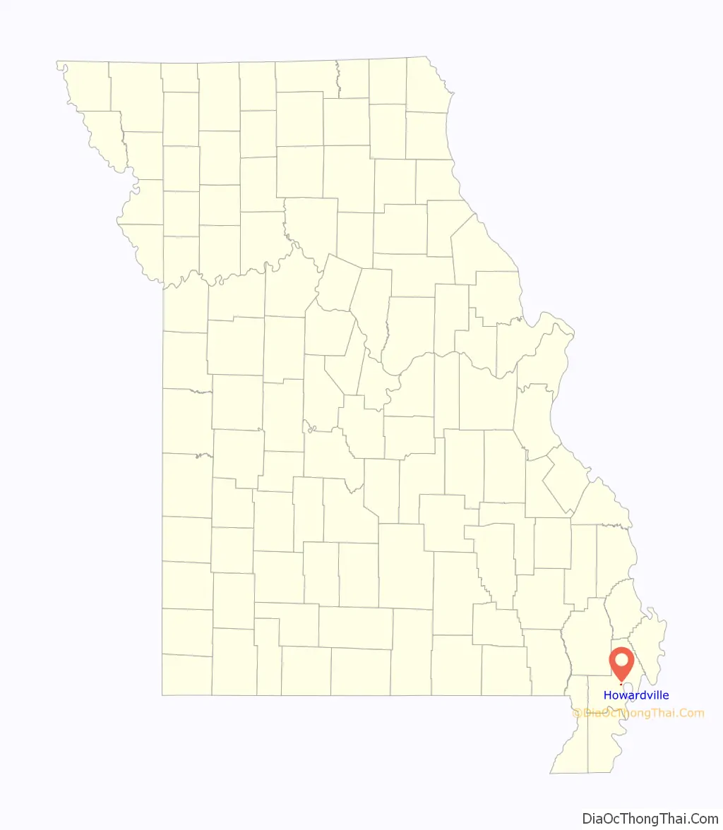
Howardville location map. Where is Howardville city?
History
Howardville was founded by Travis B. Howard, a prominent black educator and activist in the mid-20th century Bootheel region. A graduate of Tuskegee Institute, Howard was inspired by Booker T. Washington’s belief that land ownership was among the critical factors in lifting African Americans out of poverty. In the late 1940s, Howard purchased 200 acres (81 ha) of land encompassing much of what is now Howardville, and sold off lots to displaced black sharecroppers. The city incorporated as “Howardville” in 1953.
Howardville High School, initially known as East Lilbourn High School, opened in 1958. After county schools were integrated in the late 1960s, the school operated as a junior high school until 1980. In 2017, the school was nominated for listing on the National Register of Historic Places.
Travis Howard was the father of Major League Baseball player Elston Howard, the first black player to join the New York Yankees.
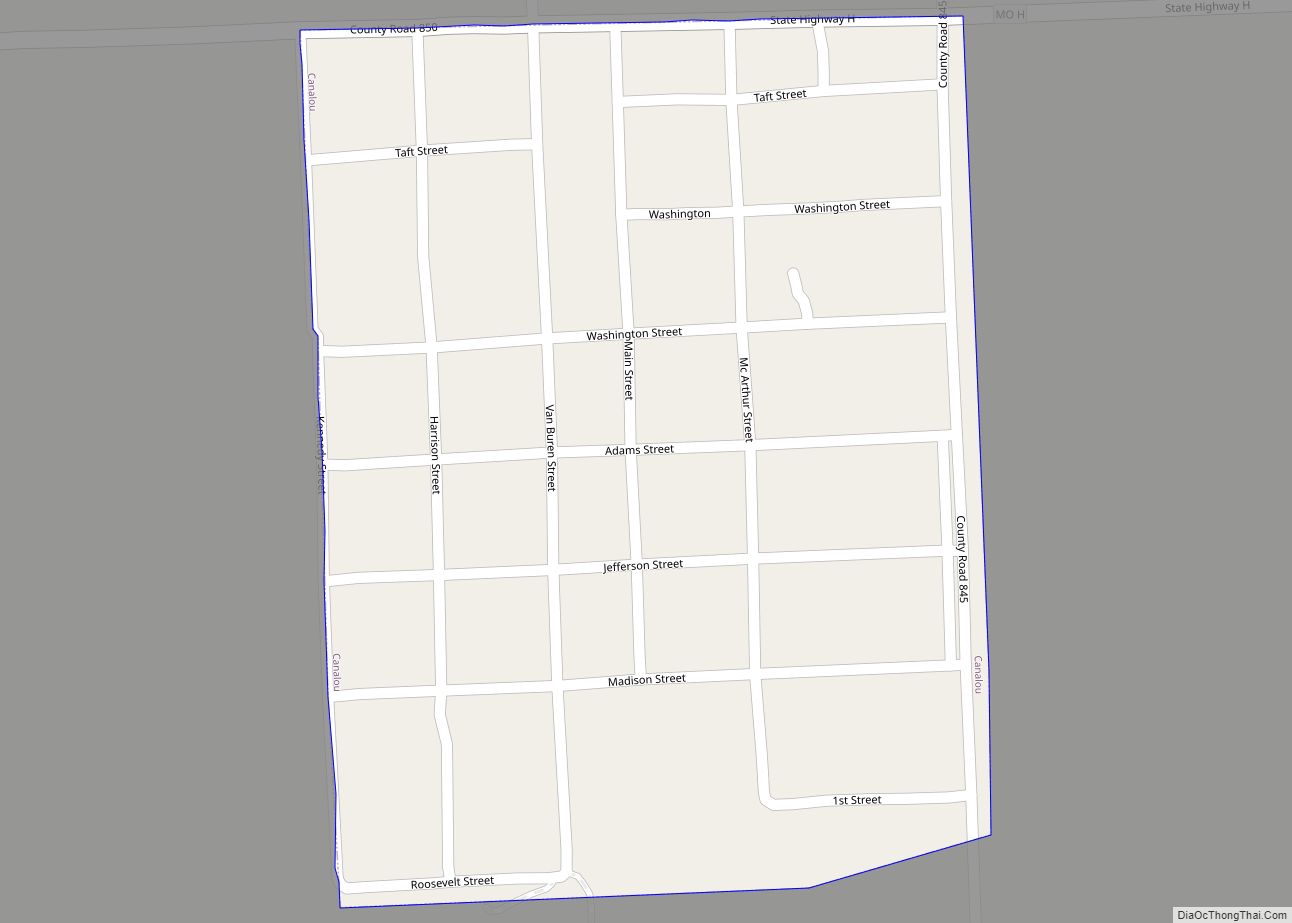
Howardville Road Map
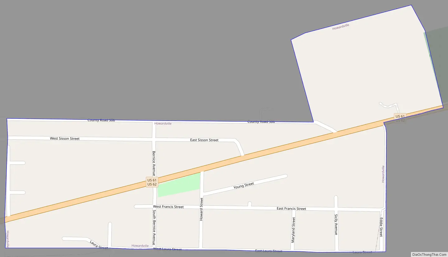
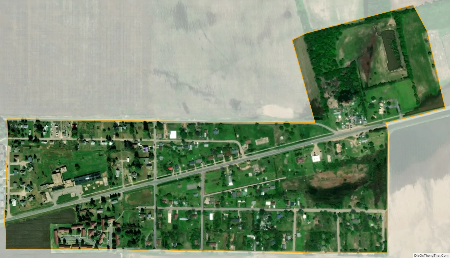
Howardville city Satellite Map
Geography
Howardville is located at 36°34′3″N 89°35′56″W / 36.56750°N 89.59889°W / 36.56750; -89.59889 (36.567455, -89.598924). The city is situated along U.S. Routes 61/62, just west of New Madrid and the Mississippi River. The city of Lilbourn lies just to the north along County Road D, and Marston to the south along US 61. New Madrid County Central High School and New Madrid County Central Middle School are located between Howardville and New Madrid.
According to the United States Census Bureau, the city has a total area of 0.23 square miles (0.60 km), all land.
See also
Map of Missouri State and its subdivision:- Adair
- Andrew
- Atchison
- Audrain
- Barry
- Barton
- Bates
- Benton
- Bollinger
- Boone
- Buchanan
- Butler
- Caldwell
- Callaway
- Camden
- Cape Girardeau
- Carroll
- Carter
- Cass
- Cedar
- Chariton
- Christian
- Clark
- Clay
- Clinton
- Cole
- Cooper
- Crawford
- Dade
- Dallas
- Daviess
- De Kalb
- Dent
- Douglas
- Dunklin
- Franklin
- Gasconade
- Gentry
- Greene
- Grundy
- Harrison
- Henry
- Hickory
- Holt
- Howard
- Howell
- Iron
- Jackson
- Jasper
- Jefferson
- Johnson
- Knox
- Laclede
- Lafayette
- Lawrence
- Lewis
- Lincoln
- Linn
- Livingston
- Macon
- Madison
- Maries
- Marion
- McDonald
- Mercer
- Miller
- Mississippi
- Moniteau
- Monroe
- Montgomery
- Morgan
- New Madrid
- Newton
- Nodaway
- Oregon
- Osage
- Ozark
- Pemiscot
- Perry
- Pettis
- Phelps
- Pike
- Platte
- Polk
- Pulaski
- Putnam
- Ralls
- Randolph
- Ray
- Reynolds
- Ripley
- Saint Charles
- Saint Clair
- Saint Francois
- Saint Louis
- Sainte Genevieve
- Saline
- Schuyler
- Scotland
- Scott
- Shannon
- Shelby
- Stoddard
- Stone
- Sullivan
- Taney
- Texas
- Vernon
- Warren
- Washington
- Wayne
- Webster
- Worth
- Wright
- Alabama
- Alaska
- Arizona
- Arkansas
- California
- Colorado
- Connecticut
- Delaware
- District of Columbia
- Florida
- Georgia
- Hawaii
- Idaho
- Illinois
- Indiana
- Iowa
- Kansas
- Kentucky
- Louisiana
- Maine
- Maryland
- Massachusetts
- Michigan
- Minnesota
- Mississippi
- Missouri
- Montana
- Nebraska
- Nevada
- New Hampshire
- New Jersey
- New Mexico
- New York
- North Carolina
- North Dakota
- Ohio
- Oklahoma
- Oregon
- Pennsylvania
- Rhode Island
- South Carolina
- South Dakota
- Tennessee
- Texas
- Utah
- Vermont
- Virginia
- Washington
- West Virginia
- Wisconsin
- Wyoming