Hume is a city in southwest Bates County, Missouri, and is part of the Kansas City metropolitan area within the United States. The population was 283 at the 2020 census.
| Name: | Hume town |
|---|---|
| LSAD Code: | 43 |
| LSAD Description: | town (suffix) |
| State: | Missouri |
| County: | Bates County |
| Elevation: | 896 ft (273 m) |
| Total Area: | 0.68 sq mi (1.76 km²) |
| Land Area: | 0.66 sq mi (1.71 km²) |
| Water Area: | 0.02 sq mi (0.05 km²) |
| Total Population: | 283 |
| Population Density: | 427.49/sq mi (165.12/km²) |
| ZIP code: | 64752 |
| Area code: | 660 |
| FIPS code: | 2933724 |
| GNISfeature ID: | 2397002 |
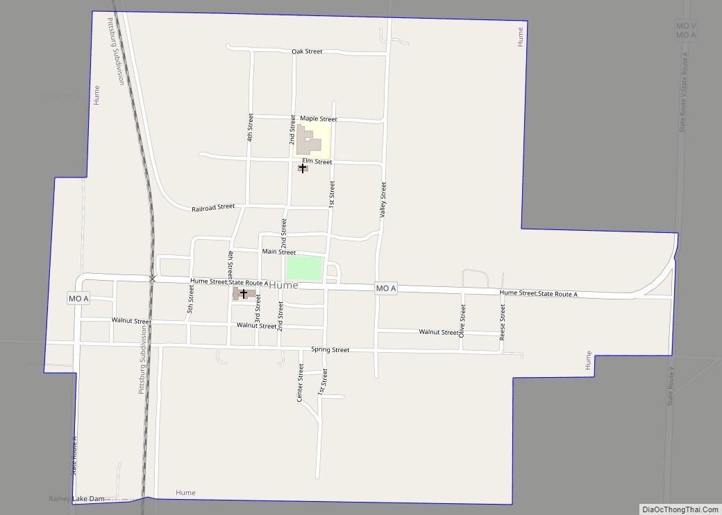
Online Interactive Map
Click on ![]() to view map in "full screen" mode.
to view map in "full screen" mode.
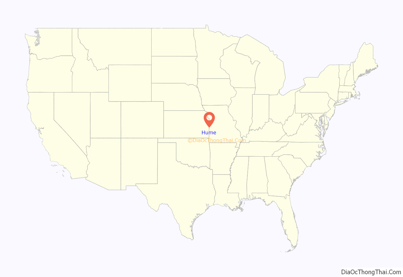
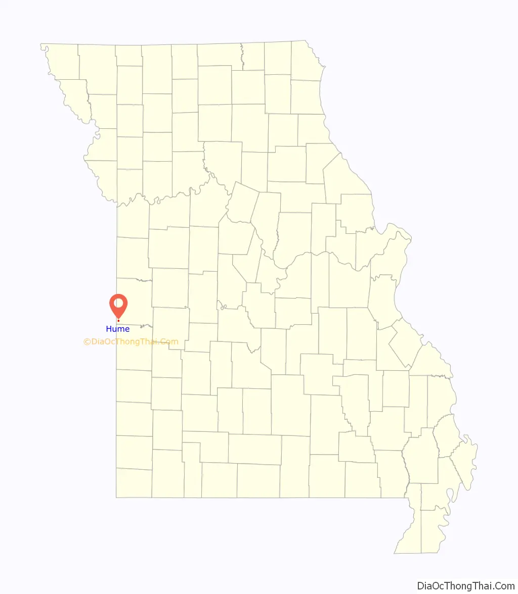
Hume location map. Where is Hume town?
History
Hume area history prior to founding
The Hume area prior to the founding of the town was an area bathed in the beauty of nature and heinous Border Wars. Native Americans are thought to have buried their dead in a mound structure approximately one mile north of Hume, although there is no evidence to support this claim. The first known Euro-American settler in the Hume area was Peter Duncan in 1835. The Bleeding Kansas affair and the upcoming Civil War brought John Brown to this area with an attack on the Lawrence farm, five miles south of Hume, in which slaves were freed. Border warfare fighting began soon after, which cost many lives. The Civil War began in 1861, and within a 40-mile radius of Hume, two battles took place: the Battle of Mine Creek and the Battle of Dry Wood Creek. The war came to a head when Order No. 11 was signed by Gen. Thomas Ewing and led to a burning of settlements in the Hume area.
Hume’s early period 1880-1930
It took many years after Order 11 for the Hume area to recover. A plat was drawn up by Leroy Taylor in 1880 for the town of Howard. Howard was not meant to be, due to the Post Office which had a town of Howard Mills, MO registered, and fearful of confusion, Howard had to change its name. The name, even today, is still debated upon. Tradition is that Hume got its name from a whiskey bottle falling off a train; however on Taylor’s original plat, he had a Hume Street drawn on it. The population was about 1,000 at the beginning. Noah Little had to redraw Taylor’s Plat and designed the town of Hume. Hume has many catalpa trees, due to a nurseryman in trouble for public intoxication who had to plant the trees as part of his punishment. Two railroads lines used to run through, now only one of these exists to this day. As for celebrations, the Hume Stock Show began in 1905, eventually the Hume Stock Show morphs into the Hume Fair, which exists today. Hume was known for being the White City on the Border due to local journalist Lewis Moore who advocated painting fences white in Hume. Many people did paint their fences white after this campaign.
Hume peak coal mining period 1930-1950
Hume grew immensely due to the coal mining industry and the population peaked at nearly two thousand or more during at the height of coal production. The most prominent coal company in the area was the Hume Sinclair Coal Company. The first public water system was developed in the 1950s. Coal mining did not last past the 1950s and with the closing of coal mines, businesses vanished and people left.
Hume after coal, hume bank scandal
The population of Hume reduced to under 200 by the early 1990s. The old Hume high school was demolished in May 1989 and a new high school wing added to the elementary was completed in 1991.
In 2008 nearly one hundred FBI agents and agents of other US departments seized control of the Hume Bank following several reports of embezzlement. Over the course of three days the agents seized banking documents and closed operations of the Hume bank. Soon afterwards Security Bank of neighboring town Rich Hill, Missouri assumed the insured deposits and re-opened the bank as a branch of Security Bank.
The bank scandal in 2008 was completely caused by fiscal mismanagement and embezzlement. In 2009, previous Hume Bank president, Jeffrey W. Thompson, 40, of Hume, Mo., pleaded guilty before U.S. Magistrate Judge Sarah W. Hays to the charges of making false statements to the FDIC as part of a bank fraud scheme that caused such significant losses that the bank was pushed into insolvency. FDIC losses totalled $5,168,580 and total losses were over 6.6 million US dollars.
Hume installed a new water system in 2009.
In 2011 Jeff Thompson was sentenced to six years, six months in Federal prison without the possibility of parole.
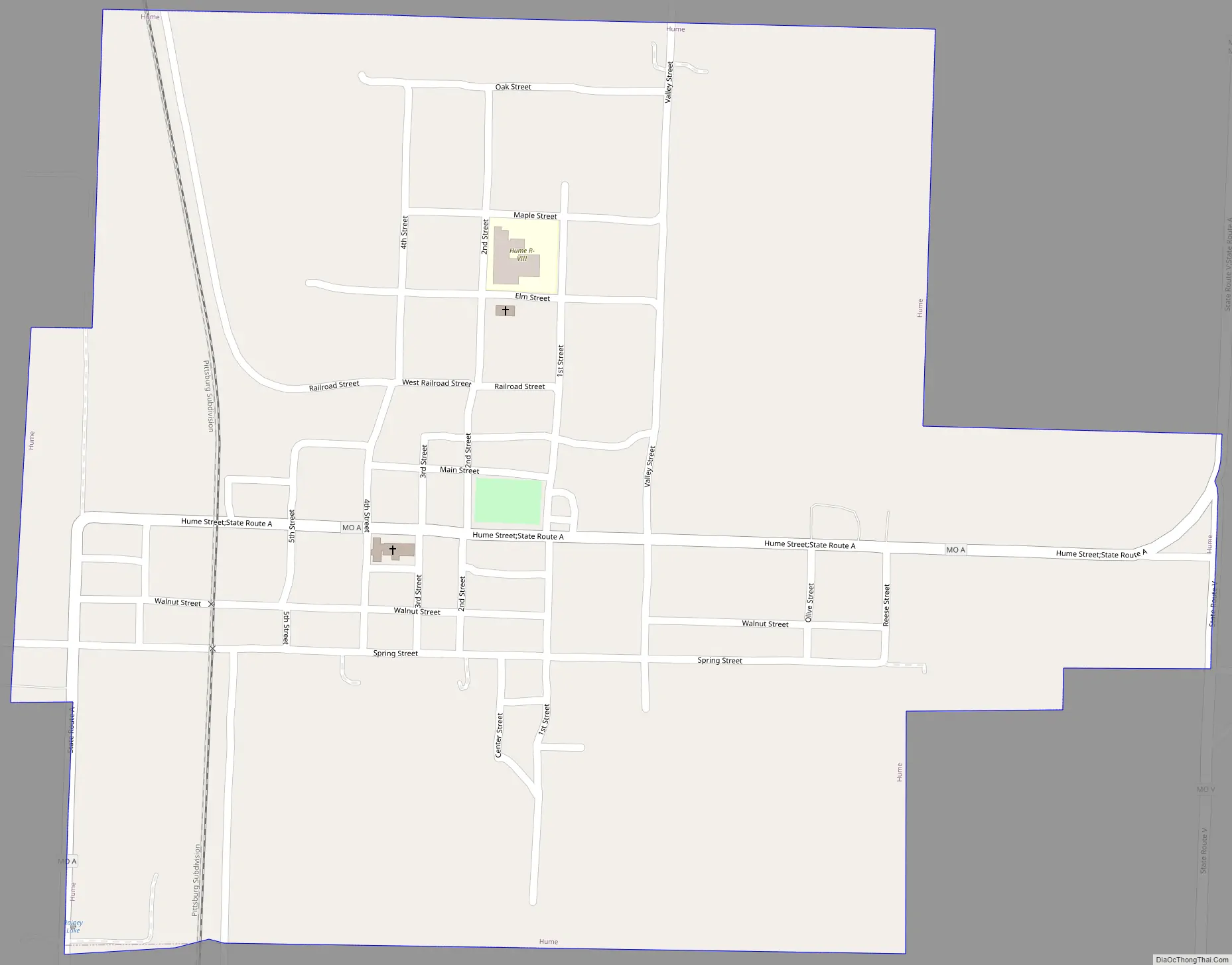
Hume Road Map
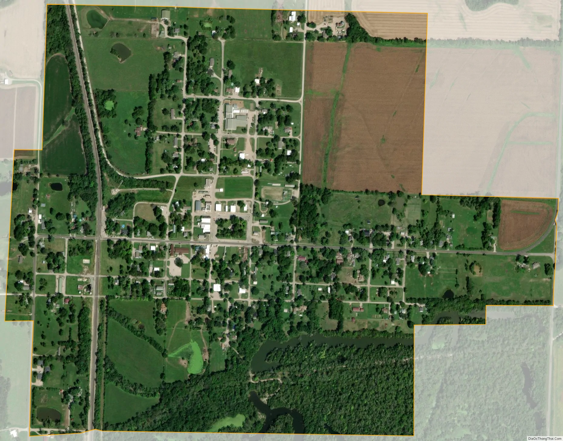
Hume city Satellite Map
Geography
According to the United States Census Bureau, the city has a total area of 0.68 square miles (1.76 km), of which 0.66 square miles (1.71 km) is land and 0.02 square miles (0.05 km) is water.
The community lies on Missouri Route A in the southwest corner of the county. Rich Hill is approximately eleven miles to the east and the Missouri-Kansas border is 1.5 miles to the west. The headwaters of Duncan Creek arise adjacent to the southwest and Walnut Creek flows past the north of the community.
See also
Map of Missouri State and its subdivision:- Adair
- Andrew
- Atchison
- Audrain
- Barry
- Barton
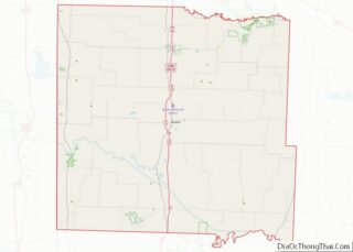
- Bates
- Benton
- Bollinger
- Boone
- Buchanan
- Butler
- Caldwell
- Callaway
- Camden
- Cape Girardeau
- Carroll
- Carter
- Cass
- Cedar
- Chariton
- Christian
- Clark
- Clay
- Clinton
- Cole
- Cooper
- Crawford
- Dade
- Dallas
- Daviess
- De Kalb
- Dent
- Douglas
- Dunklin
- Franklin
- Gasconade
- Gentry
- Greene
- Grundy
- Harrison
- Henry
- Hickory
- Holt
- Howard
- Howell
- Iron
- Jackson
- Jasper
- Jefferson
- Johnson
- Knox
- Laclede
- Lafayette
- Lawrence
- Lewis
- Lincoln
- Linn
- Livingston
- Macon
- Madison
- Maries
- Marion
- McDonald
- Mercer
- Miller
- Mississippi
- Moniteau
- Monroe
- Montgomery
- Morgan
- New Madrid
- Newton
- Nodaway
- Oregon
- Osage
- Ozark
- Pemiscot
- Perry
- Pettis
- Phelps
- Pike
- Platte
- Polk
- Pulaski
- Putnam
- Ralls
- Randolph
- Ray
- Reynolds
- Ripley
- Saint Charles
- Saint Clair
- Saint Francois
- Saint Louis
- Sainte Genevieve
- Saline
- Schuyler
- Scotland
- Scott
- Shannon
- Shelby
- Stoddard
- Stone
- Sullivan
- Taney
- Texas
- Vernon
- Warren
- Washington
- Wayne
- Webster
- Worth
- Wright
- Alabama
- Alaska
- Arizona
- Arkansas
- California
- Colorado
- Connecticut
- Delaware
- District of Columbia
- Florida
- Georgia
- Hawaii
- Idaho
- Illinois
- Indiana
- Iowa
- Kansas
- Kentucky
- Louisiana
- Maine
- Maryland
- Massachusetts
- Michigan
- Minnesota
- Mississippi
- Missouri
- Montana
- Nebraska
- Nevada
- New Hampshire
- New Jersey
- New Mexico
- New York
- North Carolina
- North Dakota
- Ohio
- Oklahoma
- Oregon
- Pennsylvania
- Rhode Island
- South Carolina
- South Dakota
- Tennessee
- Texas
- Utah
- Vermont
- Virginia
- Washington
- West Virginia
- Wisconsin
- Wyoming