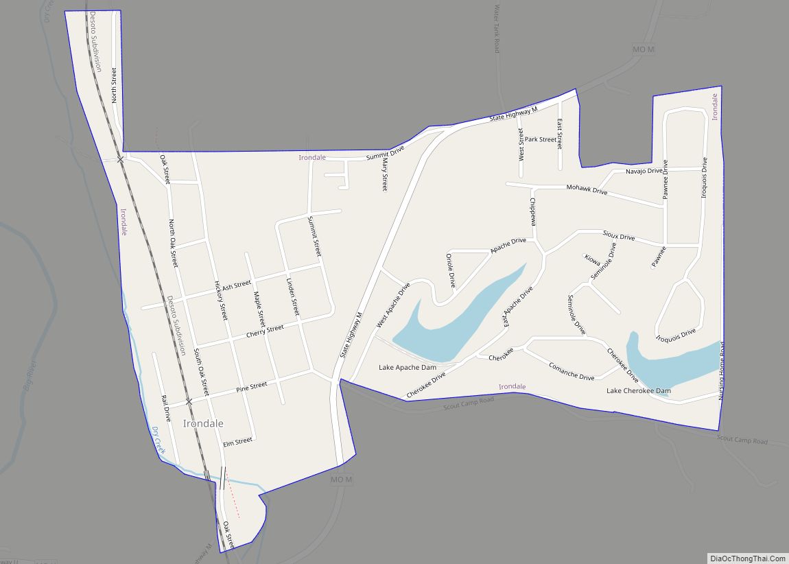
Irondale is a city in Washington County, Missouri, United States. The population was 445 at the 2010 census.
| Name: | Irondale city |
|---|---|
| LSAD Code: | 25 |
| LSAD Description: | city (suffix) |
| State: | Missouri |
| County: | Washington County |
| Elevation: | 906 ft (276 m) |
| Total Area: | 0.54 sq mi (1.40 km²) |
| Land Area: | 0.53 sq mi (1.38 km²) |
| Water Area: | 0.01 sq mi (0.02 km²) |
| Total Population: | 368 |
| Population Density: | 690.43/sq mi (266.78/km²) |
| ZIP code: | 63648 |
| Area code: | 573 |
| FIPS code: | 2935396 |
| GNISfeature ID: | 2395437 |
Online Interactive Map
Click on ![]() to view map in "full screen" mode.
to view map in "full screen" mode.
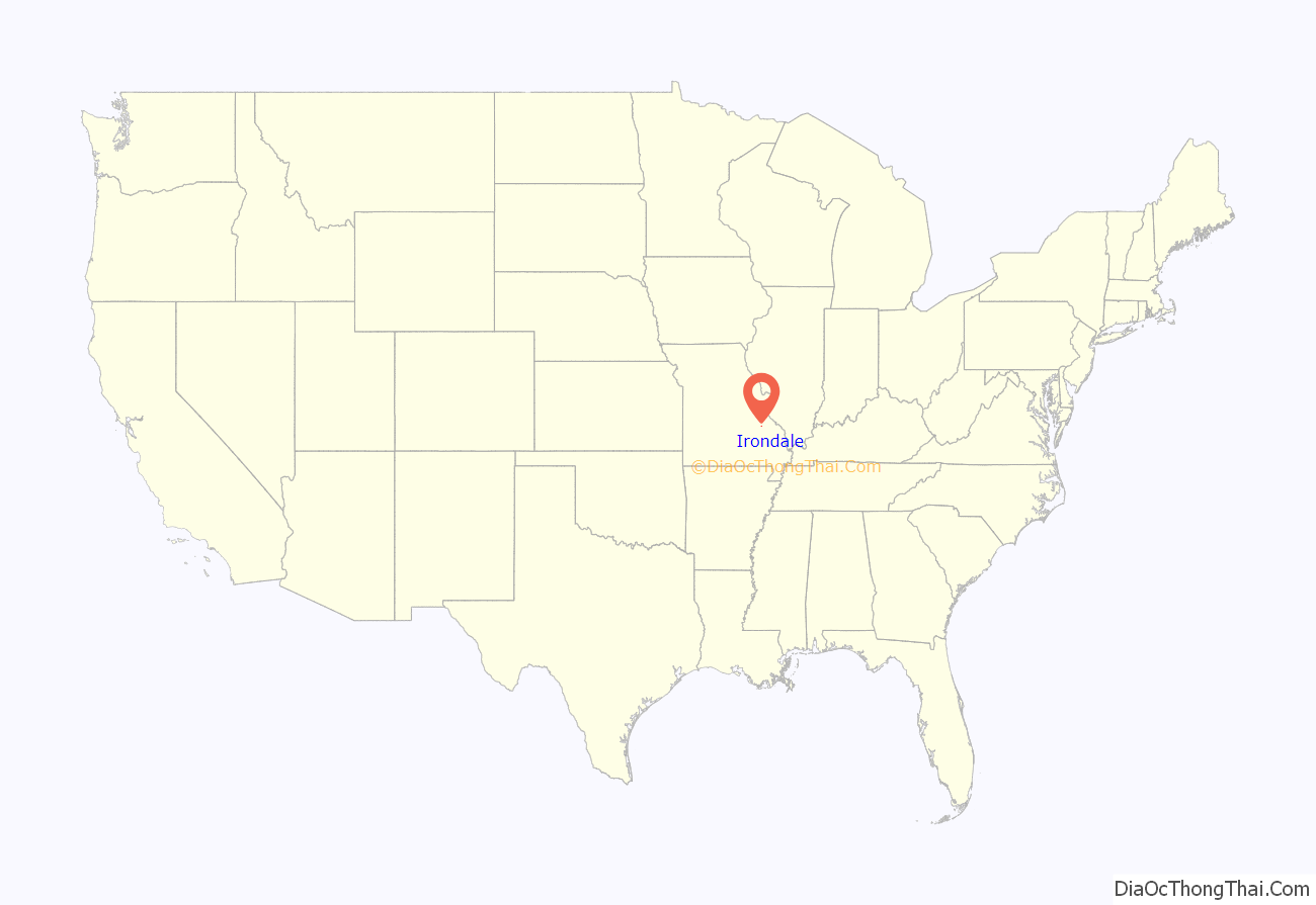
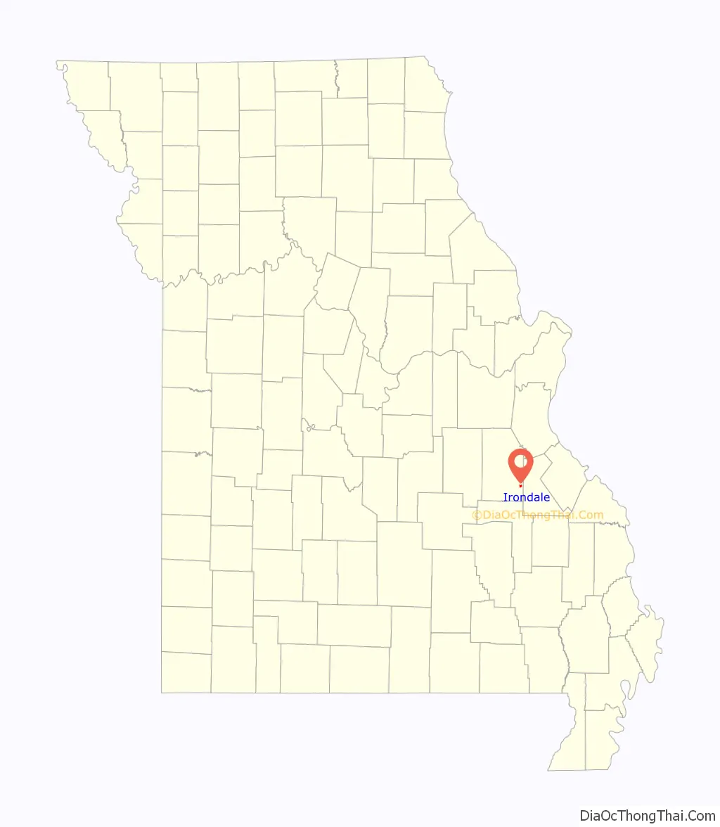
Irondale location map. Where is Irondale city?
History
Irondale was laid out in 1857 by John G. Scott, who built an iron furnace there. The town briefly changed its name to Savoy in 1906 to solve the problem of mail getting mixed up with the nearby towns of Ironton and Iron Mountain. A few years later the name was changed back to Irondale.
Irondale Road Map
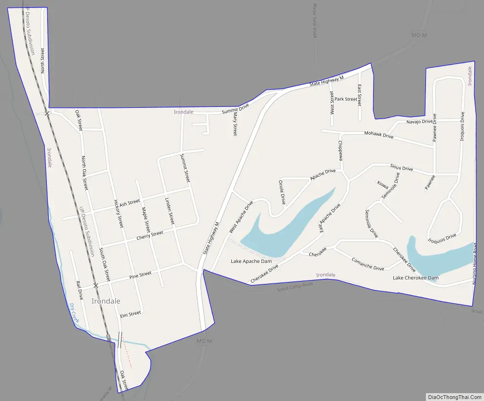
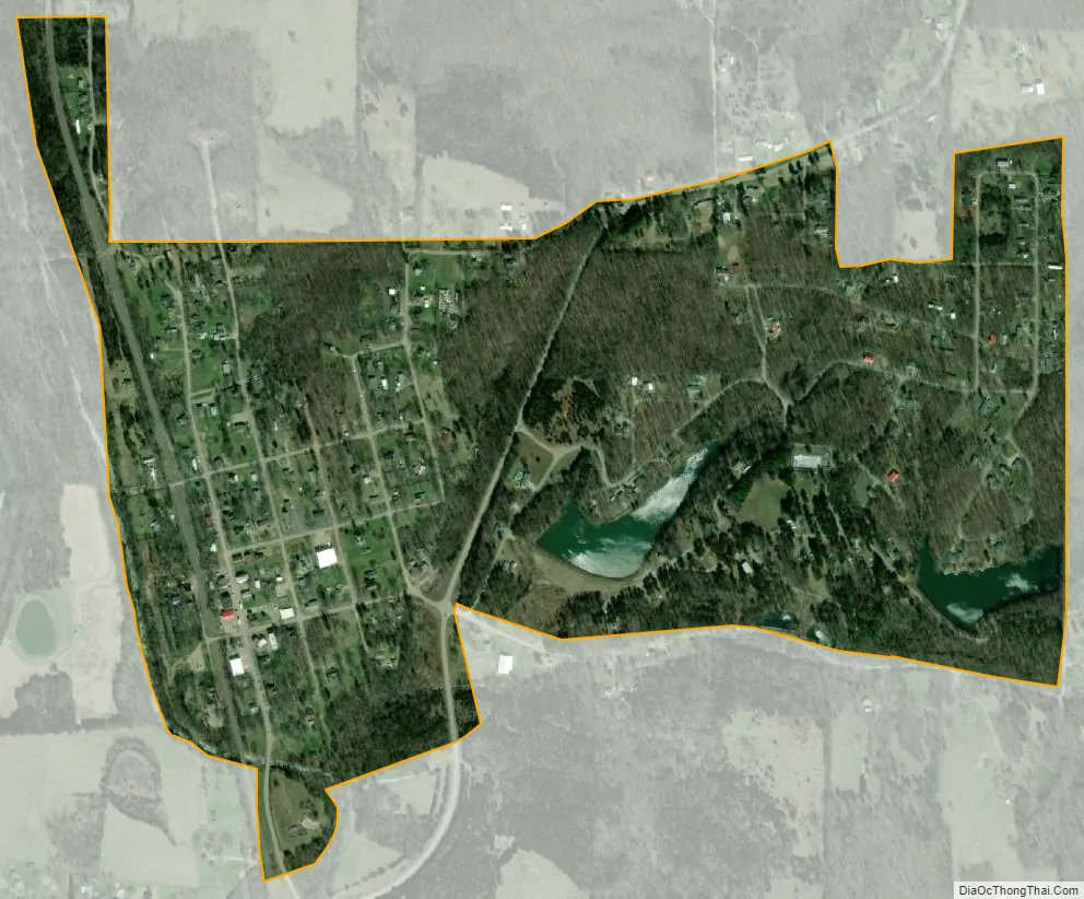
Irondale city Satellite Map
Geography
Irondale is located at 37°50′7″N 90°40′21″W / 37.83528°N 90.67250°W / 37.83528; -90.67250 (37.835204, -90.672505).
According to the United States Census Bureau, the city has a total area of 0.54 square miles (1.40 km), of which 0.53 square miles (1.37 km) is land and 0.01 square miles (0.03 km) is water.
See also
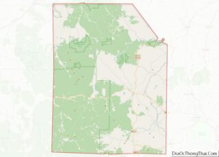
Map of Missouri State and its subdivision:- Adair
- Andrew
- Atchison
- Audrain
- Barry
- Barton
- Bates
- Benton
- Bollinger
- Boone
- Buchanan
- Butler
- Caldwell
- Callaway
- Camden
- Cape Girardeau
- Carroll
- Carter
- Cass
- Cedar
- Chariton
- Christian
- Clark
- Clay
- Clinton
- Cole
- Cooper
- Crawford
- Dade
- Dallas
- Daviess
- De Kalb
- Dent
- Douglas
- Dunklin
- Franklin
- Gasconade
- Gentry
- Greene
- Grundy
- Harrison
- Henry
- Hickory
- Holt
- Howard
- Howell
- Iron
- Jackson
- Jasper
- Jefferson
- Johnson
- Knox
- Laclede
- Lafayette
- Lawrence
- Lewis
- Lincoln
- Linn
- Livingston
- Macon
- Madison
- Maries
- Marion
- McDonald
- Mercer
- Miller
- Mississippi
- Moniteau
- Monroe
- Montgomery
- Morgan
- New Madrid
- Newton
- Nodaway
- Oregon
- Osage
- Ozark
- Pemiscot
- Perry
- Pettis
- Phelps
- Pike
- Platte
- Polk
- Pulaski
- Putnam
- Ralls
- Randolph
- Ray
- Reynolds
- Ripley
- Saint Charles
- Saint Clair
- Saint Francois
- Saint Louis
- Sainte Genevieve
- Saline
- Schuyler
- Scotland
- Scott
- Shannon
- Shelby
- Stoddard
- Stone
- Sullivan
- Taney
- Texas
- Vernon
- Warren
- Washington
- Wayne
- Webster
- Worth
- Wright
- Alabama
- Alaska
- Arizona
- Arkansas
- California
- Colorado
- Connecticut
- Delaware
- District of Columbia
- Florida
- Georgia
- Hawaii
- Idaho
- Illinois
- Indiana
- Iowa
- Kansas
- Kentucky
- Louisiana
- Maine
- Maryland
- Massachusetts
- Michigan
- Minnesota
- Mississippi
- Missouri
- Montana
- Nebraska
- Nevada
- New Hampshire
- New Jersey
- New Mexico
- New York
- North Carolina
- North Dakota
- Ohio
- Oklahoma
- Oregon
- Pennsylvania
- Rhode Island
- South Carolina
- South Dakota
- Tennessee
- Texas
- Utah
- Vermont
- Virginia
- Washington
- West Virginia
- Wisconsin
- Wyoming