Kidder is a city in northwest Caldwell County, Missouri, The population was 267 at the 2020 census.
The city was laid out in 1860 by H.B. Kidder of the Kidder Land Company in Boston, which was seeking to encourage non-slave owning European immigrants to settle along the Hannibal and St. Joseph Railroad which at the time was the furthest west railroad in the United States.
The city received national publicity in 2004 after a student at the Thayer Learning Center in the community died after not receiving treatment early enough. In 2009 the Center was sold to become the White Buffalo Academy. The campus was formerly Thayer College and Thayer High School. Thayer College was founded in 1871 and closed in 1876. It reopened in 1877 as the Kidder Institute and operated under the auspices of the Congregational Church of Missouri. The building was used as a public school from 1934 to 1981.
| Name: | Kidder city |
|---|---|
| LSAD Code: | 25 |
| LSAD Description: | city (suffix) |
| State: | Missouri |
| County: | Caldwell County |
| Elevation: | 1,027 ft (313 m) |
| Total Area: | 0.40 sq mi (1.04 km²) |
| Land Area: | 0.40 sq mi (1.04 km²) |
| Water Area: | 0.00 sq mi (0.00 km²) |
| Total Population: | 267 |
| Population Density: | 664.18/sq mi (256.22/km²) |
| ZIP code: | 64649 |
| Area code: | 816 |
| FIPS code: | 2938522 |
| GNISfeature ID: | 2395526 |
Online Interactive Map
Click on ![]() to view map in "full screen" mode.
to view map in "full screen" mode.
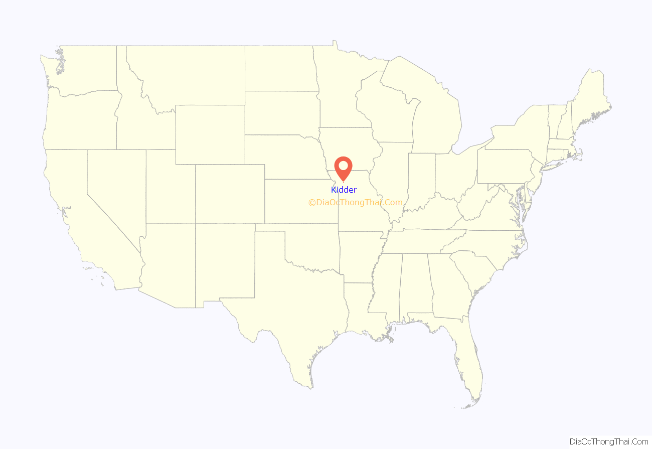
Kidder location map. Where is Kidder city?
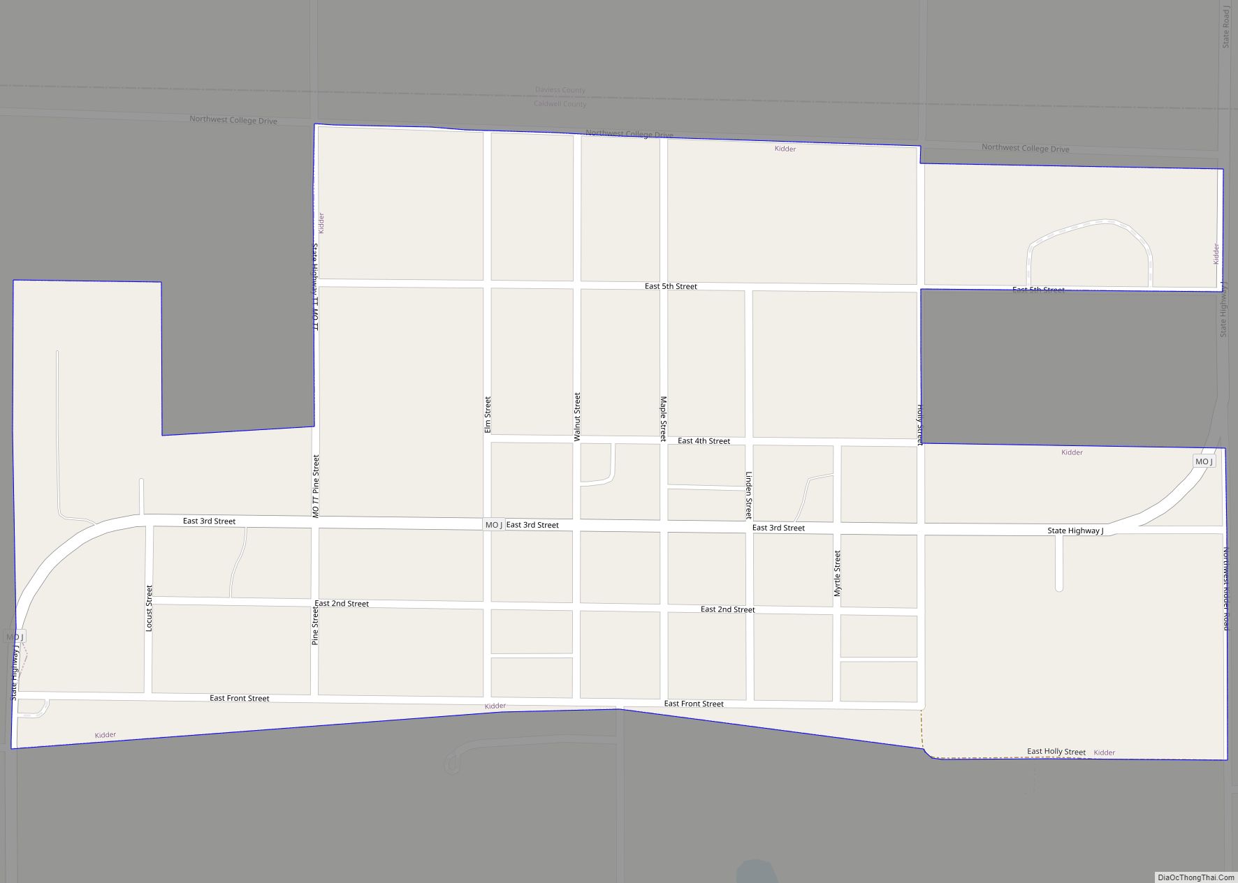
Kidder Road Map
Kidder city Satellite Map
Geography
According to the United States Census Bureau, the city has a total area of 0.40 square miles (1.04 km), all land.
See also
Map of Missouri State and its subdivision:- Adair
- Andrew
- Atchison
- Audrain
- Barry
- Barton
- Bates
- Benton
- Bollinger
- Boone
- Buchanan
- Butler
- Caldwell
- Callaway
- Camden
- Cape Girardeau
- Carroll
- Carter
- Cass
- Cedar
- Chariton
- Christian
- Clark
- Clay
- Clinton
- Cole
- Cooper
- Crawford
- Dade
- Dallas
- Daviess
- De Kalb
- Dent
- Douglas
- Dunklin
- Franklin
- Gasconade
- Gentry
- Greene
- Grundy
- Harrison
- Henry
- Hickory
- Holt
- Howard
- Howell
- Iron
- Jackson
- Jasper
- Jefferson
- Johnson
- Knox
- Laclede
- Lafayette
- Lawrence
- Lewis
- Lincoln
- Linn
- Livingston
- Macon
- Madison
- Maries
- Marion
- McDonald
- Mercer
- Miller
- Mississippi
- Moniteau
- Monroe
- Montgomery
- Morgan
- New Madrid
- Newton
- Nodaway
- Oregon
- Osage
- Ozark
- Pemiscot
- Perry
- Pettis
- Phelps
- Pike
- Platte
- Polk
- Pulaski
- Putnam
- Ralls
- Randolph
- Ray
- Reynolds
- Ripley
- Saint Charles
- Saint Clair
- Saint Francois
- Saint Louis
- Sainte Genevieve
- Saline
- Schuyler
- Scotland
- Scott
- Shannon
- Shelby
- Stoddard
- Stone
- Sullivan
- Taney
- Texas
- Vernon
- Warren
- Washington
- Wayne
- Webster
- Worth
- Wright
- Alabama
- Alaska
- Arizona
- Arkansas
- California
- Colorado
- Connecticut
- Delaware
- District of Columbia
- Florida
- Georgia
- Hawaii
- Idaho
- Illinois
- Indiana
- Iowa
- Kansas
- Kentucky
- Louisiana
- Maine
- Maryland
- Massachusetts
- Michigan
- Minnesota
- Mississippi
- Missouri
- Montana
- Nebraska
- Nevada
- New Hampshire
- New Jersey
- New Mexico
- New York
- North Carolina
- North Dakota
- Ohio
- Oklahoma
- Oregon
- Pennsylvania
- Rhode Island
- South Carolina
- South Dakota
- Tennessee
- Texas
- Utah
- Vermont
- Virginia
- Washington
- West Virginia
- Wisconsin
- Wyoming
