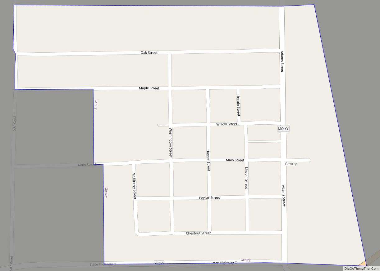
King City is a city in southwest Gentry County, Missouri, United States. The population was 799 at the 2020 census.
| Name: | King City city |
|---|---|
| LSAD Code: | 25 |
| LSAD Description: | city (suffix) |
| State: | Missouri |
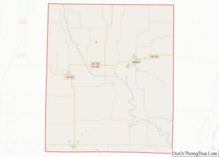
| County: | Gentry County |
| Elevation: | 1,109 ft (338 m) |
| Total Area: | 1.38 sq mi (3.58 km²) |
| Land Area: | 1.38 sq mi (3.58 km²) |
| Water Area: | 0.00 sq mi (0.00 km²) |
| Total Population: | 799 |
| Population Density: | 578.15/sq mi (223.25/km²) |
| ZIP code: | 64463 |
| Area code: | 660 |
| FIPS code: | 2938774 |
| GNISfeature ID: | 2395536 |
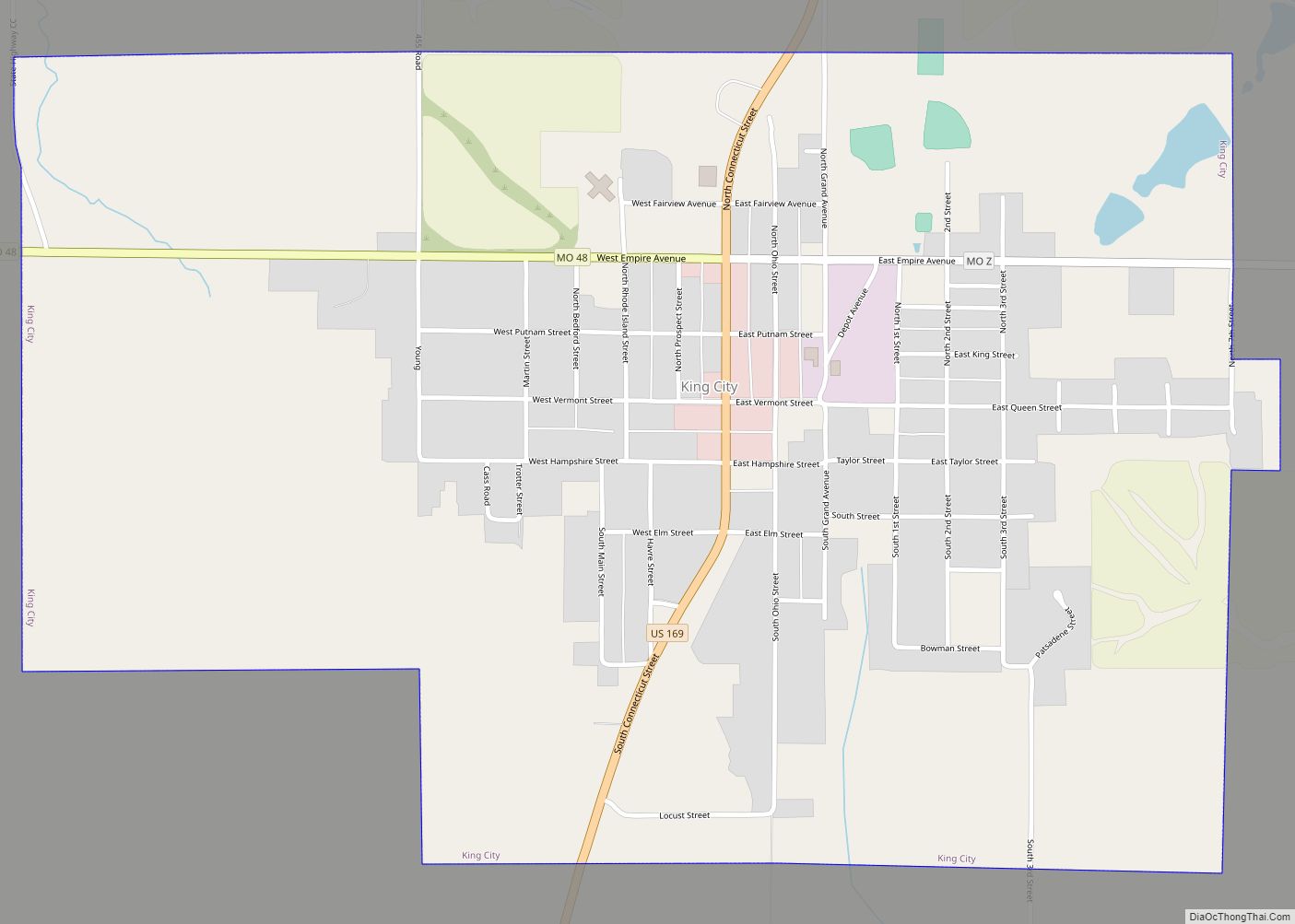
Online Interactive Map
Click on ![]() to view map in "full screen" mode.
to view map in "full screen" mode.
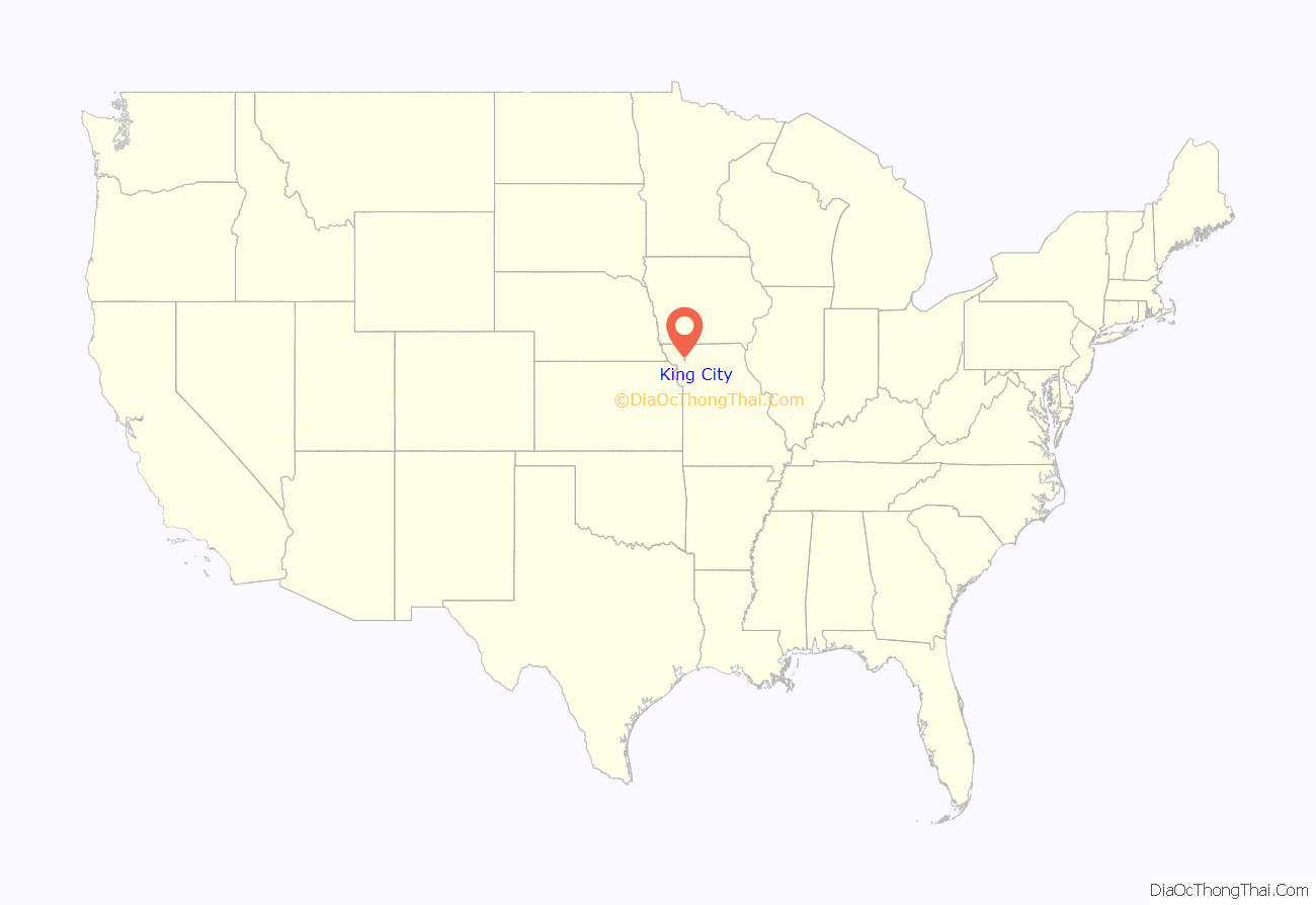
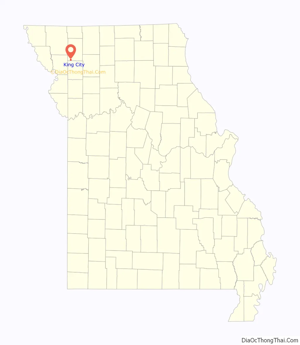
King City location map. Where is King City city?
History
John Pittsenbarger was the first European settler when he set up a tent in town in 1856. His application to name the town Petersburg was rejected because there was already a town of that name in Boone County, Missouri. According to local legend, the United States Postmaster General submitted his name. The Postmaster General at the time was Horatio King, (although the local history refers to Rufus King)
The town became a stop on the St. Joseph and Des Moines Railway in 1878. The railway eventually became part of the Burlington Northern network and is currently abandoned.
In the first half of the 20th century, King City was the heart of a Kentucky bluegrass seed harvesting region stretching from Kearney, Missouri through King City to Maitland, Missouri, which claimed to harvest more bluegrass seeds than the entire state of Kentucky with King City resident John Weller claiming to be the “King of Blue Grass Raisers.”. Bluegrass seed production moved to the farming areas of the Pacific Northwest in the 1950s.
In the 1990s, the Big Pump, a 25-foot (7.6 m) high building resembling an electric gasoline pump, was moved from Maryville, Missouri to King City. It is on the National Register of Historic Places. Rufus Limpp, an oil jobber who built the station, is from King City (the Limpp Community Lake by King City is also named for him). The Big Pump is located on the Tri-County Museum grounds.
King City has only one grocery store, McCrea’s, a family operated business started by Dean and Virginia McCrea. They have owned the store for more than 50 years, and Mr. McCrea still works there every day.
One prominent former King Citian was celebrated children’s author Clyde Robert Bulla, who died in 2007 while living in Warrensburg, Missouri.
In 2006, St. Louis, Missouri-based Wind Capital Group began operation of 27 windmills a mile north of King City. The Bluegrass Ridge Wind Farm is the first commercial electric windmill operation in the state. Its windmills are 300 feet (91 m) high. The wind farm name celebrates the region’s bluegrass heritage.
The Opera Hall Block was listed on the National Register of Historic Places in 2002.
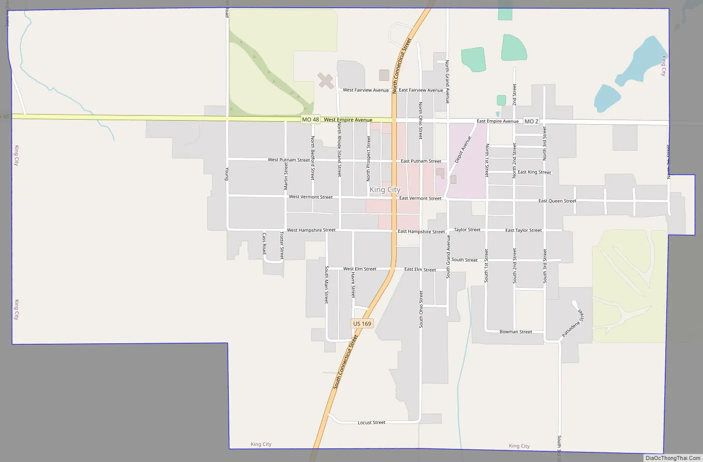
King City Road Map
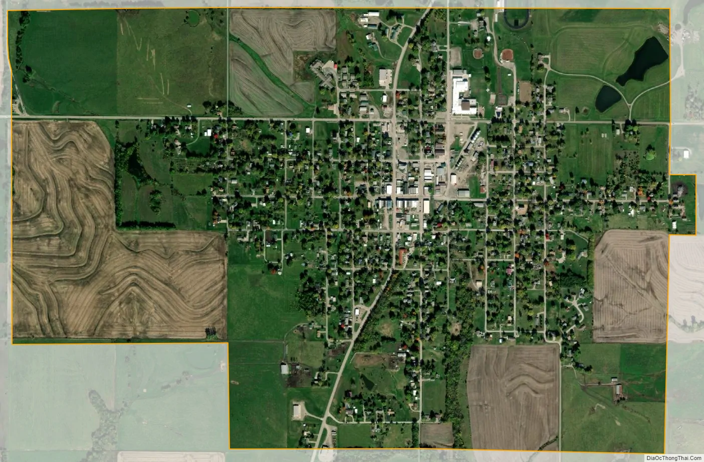
King City city Satellite Map
Geography
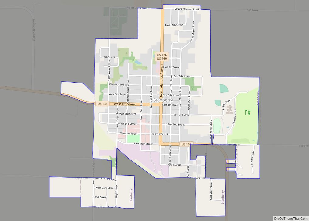
King City is located on US Route 169 three-quarters of a mile north of the Gentry-Dekalb county line. Stanberry is eleven miles to the north and Union Star in northwest Dekalb County is approximately six miles to the southwest.
According to the United States Census Bureau, the city has a total area of 1.38 square miles (3.57 km), all land.
See also
Map of Missouri State and its subdivision:- Adair
- Andrew
- Atchison
- Audrain
- Barry
- Barton
- Bates
- Benton
- Bollinger
- Boone
- Buchanan
- Butler
- Caldwell
- Callaway
- Camden
- Cape Girardeau
- Carroll
- Carter
- Cass
- Cedar
- Chariton
- Christian
- Clark
- Clay
- Clinton
- Cole
- Cooper
- Crawford
- Dade
- Dallas
- Daviess
- De Kalb
- Dent
- Douglas
- Dunklin
- Franklin
- Gasconade
- Gentry
- Greene
- Grundy
- Harrison
- Henry
- Hickory
- Holt
- Howard
- Howell
- Iron
- Jackson
- Jasper
- Jefferson
- Johnson
- Knox
- Laclede
- Lafayette
- Lawrence
- Lewis
- Lincoln
- Linn
- Livingston
- Macon
- Madison
- Maries
- Marion
- McDonald
- Mercer
- Miller
- Mississippi
- Moniteau
- Monroe
- Montgomery
- Morgan
- New Madrid
- Newton
- Nodaway
- Oregon
- Osage
- Ozark
- Pemiscot
- Perry
- Pettis
- Phelps
- Pike
- Platte
- Polk
- Pulaski
- Putnam
- Ralls
- Randolph
- Ray
- Reynolds
- Ripley
- Saint Charles
- Saint Clair
- Saint Francois
- Saint Louis
- Sainte Genevieve
- Saline
- Schuyler
- Scotland
- Scott
- Shannon
- Shelby
- Stoddard
- Stone
- Sullivan
- Taney
- Texas
- Vernon
- Warren
- Washington
- Wayne
- Webster
- Worth
- Wright
- Alabama
- Alaska
- Arizona
- Arkansas
- California
- Colorado
- Connecticut
- Delaware
- District of Columbia
- Florida
- Georgia
- Hawaii
- Idaho
- Illinois
- Indiana
- Iowa
- Kansas
- Kentucky
- Louisiana
- Maine
- Maryland
- Massachusetts
- Michigan
- Minnesota
- Mississippi
- Missouri
- Montana
- Nebraska
- Nevada
- New Hampshire
- New Jersey
- New Mexico
- New York
- North Carolina
- North Dakota
- Ohio
- Oklahoma
- Oregon
- Pennsylvania
- Rhode Island
- South Carolina
- South Dakota
- Tennessee
- Texas
- Utah
- Vermont
- Virginia
- Washington
- West Virginia
- Wisconsin
- Wyoming