Kirkwood is an inner-ring western suburb of St. Louis located in St. Louis County, Missouri. As of the 2010 census, the city’s population was 27,540. Founded in 1853, the city is named after James P. Kirkwood, builder of the Pacific Railroad through that city. It was the first planned suburb located west of the Mississippi River.
| Name: | Kirkwood city |
|---|---|
| LSAD Code: | 25 |
| LSAD Description: | city (suffix) |
| State: | Missouri |
| County: | St. Louis County |
| Incorporated: | 1865, 1899 (as a 4th-class city), 1930 (as a 3rd-class city), 1984 (as a home rule city) |
| Elevation: | 584 ft (178 m) |
| Total Area: | 9.21 sq mi (23.84 km²) |
| Land Area: | 9.18 sq mi (23.78 km²) |
| Water Area: | 0.02 sq mi (0.06 km²) |
| Total Population: | 29,461 |
| Population Density: | 3,208.56/sq mi (1,238.78/km²) |
| FIPS code: | 2939044 |
| GNISfeature ID: | 2395549 |
| Website: | www.kirkwoodmo.org |
Online Interactive Map
Click on ![]() to view map in "full screen" mode.
to view map in "full screen" mode.
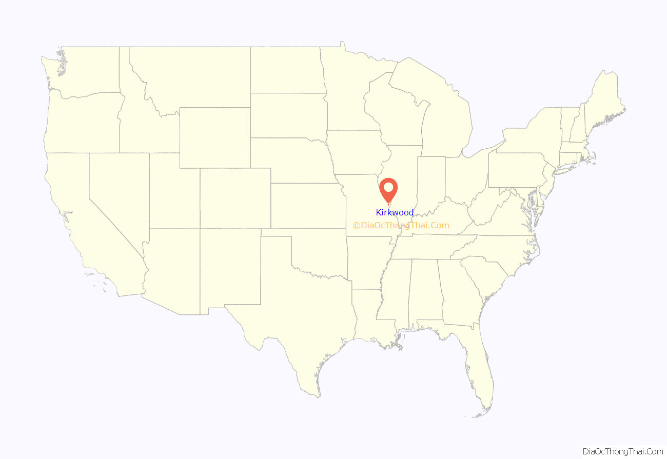
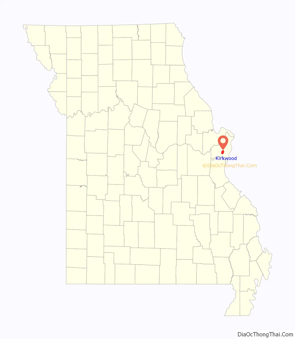
Kirkwood location map. Where is Kirkwood city?
History
Plans for a new community close to St. Louis were begun after the St. Louis fire of 1849 and the preceding and subsequent cholera outbreaks that killed one-tenth of the residents of downtown St. Louis. In 1850, Hiram W. Leffingwell and Richard Smith Elliott bought land 14 miles (23 km) from downtown, which was at about the same time James P. Kirkwood, chief engineer of the Missouri Pacific Railroad, was laying out a route for the train line. The city of Kirkwood, named after the chief engineer, was platted in 1852. Kirkwood was the first suburban municipality built outside of the St. Louis city boundaries.
When the railroad reached the community in 1853, the developers sold lots for the Kirkwood Association. Other Leffingwell developments were to include the construction of Grand Avenue and the establishment of Forest Park. In 1866, the Quinette Cemetery was built, which is one of the five historic African American burial grounds in the St. Louis area.
The original town plat including quarter section blocks, and families could buy a block estate of 5 acres (20,000 m). Deed restrictions prohibited industrial development.
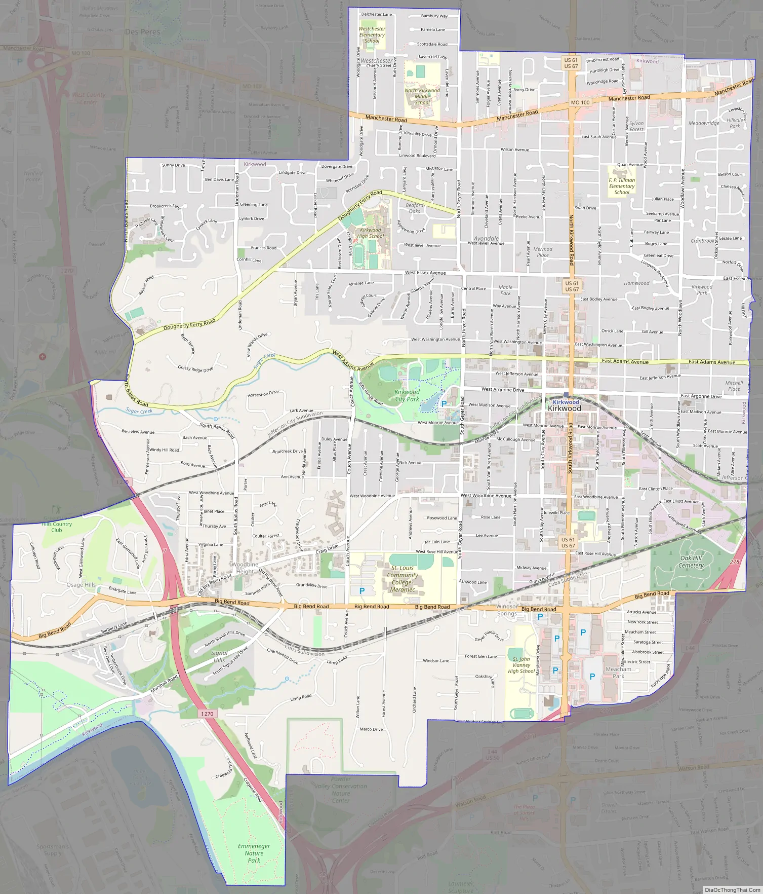
Kirkwood Road Map
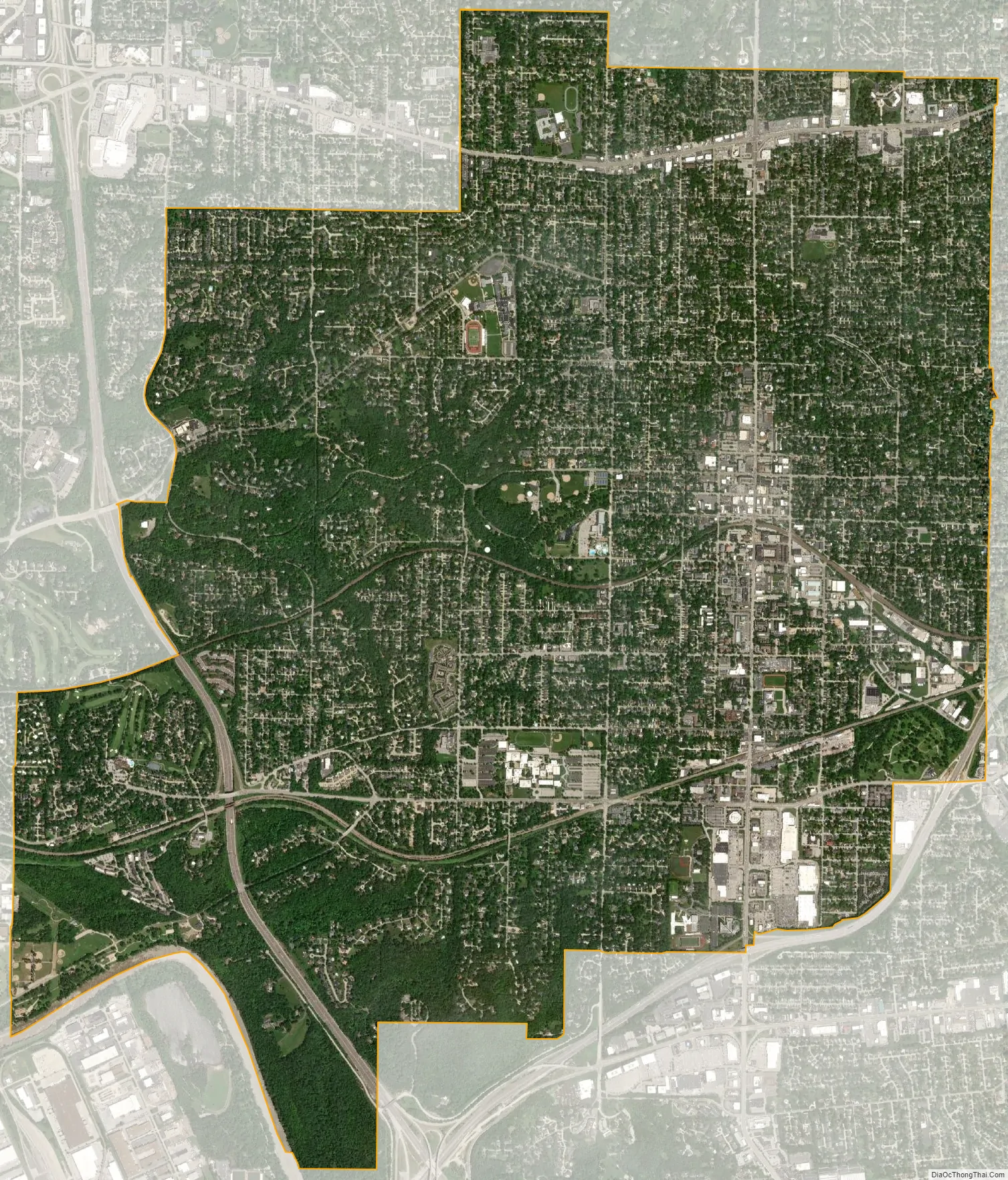
Kirkwood city Satellite Map
Geography
According to the United States Census Bureau, the city has a total area of 9.20 square miles (23.83 km), of which 9.16 square miles (23.72 km) is land and 0.04 square miles (0.10 km) is water.
See also
Map of Missouri State and its subdivision:- Adair
- Andrew
- Atchison
- Audrain
- Barry
- Barton
- Bates
- Benton
- Bollinger
- Boone
- Buchanan
- Butler
- Caldwell
- Callaway
- Camden
- Cape Girardeau
- Carroll
- Carter
- Cass
- Cedar
- Chariton
- Christian
- Clark
- Clay
- Clinton
- Cole
- Cooper
- Crawford
- Dade
- Dallas
- Daviess
- De Kalb
- Dent
- Douglas
- Dunklin
- Franklin
- Gasconade
- Gentry
- Greene
- Grundy
- Harrison
- Henry
- Hickory
- Holt
- Howard
- Howell
- Iron
- Jackson
- Jasper
- Jefferson
- Johnson
- Knox
- Laclede
- Lafayette
- Lawrence
- Lewis
- Lincoln
- Linn
- Livingston
- Macon
- Madison
- Maries
- Marion
- McDonald
- Mercer
- Miller
- Mississippi
- Moniteau
- Monroe
- Montgomery
- Morgan
- New Madrid
- Newton
- Nodaway
- Oregon
- Osage
- Ozark
- Pemiscot
- Perry
- Pettis
- Phelps
- Pike
- Platte
- Polk
- Pulaski
- Putnam
- Ralls
- Randolph
- Ray
- Reynolds
- Ripley
- Saint Charles
- Saint Clair
- Saint Francois
- Saint Louis
- Sainte Genevieve
- Saline
- Schuyler
- Scotland
- Scott
- Shannon
- Shelby
- Stoddard
- Stone
- Sullivan
- Taney
- Texas
- Vernon
- Warren
- Washington
- Wayne
- Webster
- Worth
- Wright
- Alabama
- Alaska
- Arizona
- Arkansas
- California
- Colorado
- Connecticut
- Delaware
- District of Columbia
- Florida
- Georgia
- Hawaii
- Idaho
- Illinois
- Indiana
- Iowa
- Kansas
- Kentucky
- Louisiana
- Maine
- Maryland
- Massachusetts
- Michigan
- Minnesota
- Mississippi
- Missouri
- Montana
- Nebraska
- Nevada
- New Hampshire
- New Jersey
- New Mexico
- New York
- North Carolina
- North Dakota
- Ohio
- Oklahoma
- Oregon
- Pennsylvania
- Rhode Island
- South Carolina
- South Dakota
- Tennessee
- Texas
- Utah
- Vermont
- Virginia
- Washington
- West Virginia
- Wisconsin
- Wyoming


