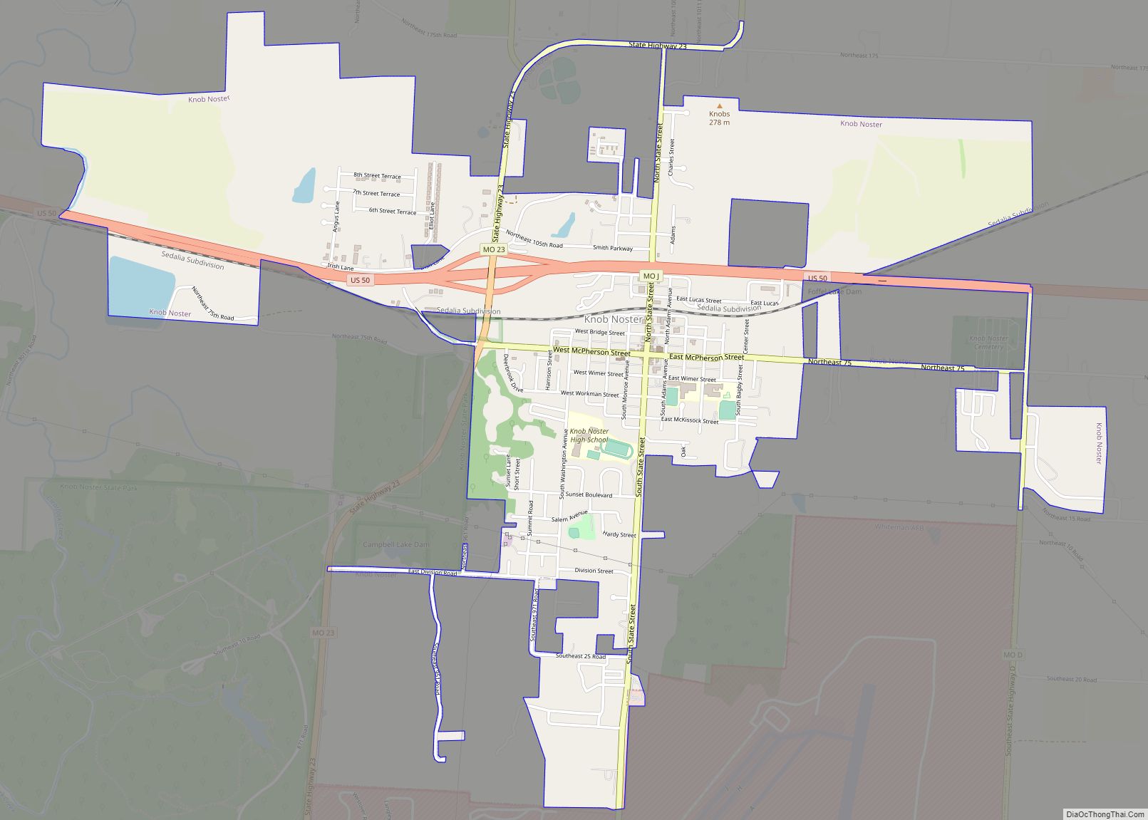
Knob Noster /ˈnɒb ˈnɒstər/ is a city in Johnson County, Missouri, United States. The population was 2,709 at the 2010 census. It is located adjacent to and closely associated with Whiteman Air Force Base. Knob Noster State Park is nearby.
| Name: | Knob Noster city |
|---|---|
| LSAD Code: | 25 |
| LSAD Description: | city (suffix) |
| State: | Missouri |
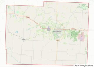
| County: | Johnson County |
| Elevation: | 801 ft (244 m) |
| Total Area: | 2.91 sq mi (7.53 km²) |
| Land Area: | 2.88 sq mi (7.46 km²) |
| Water Area: | 0.03 sq mi (0.06 km²) |
| Total Population: | 2,782 |
| Population Density: | 965.64/sq mi (372.81/km²) |
| ZIP code: | 65336 |
| Area code: | 660 |
| FIPS code: | 2939188 |
| GNISfeature ID: | 0729757 |
| Website: | www.knobnostergov.com |
Online Interactive Map
Click on ![]() to view map in "full screen" mode.
to view map in "full screen" mode.
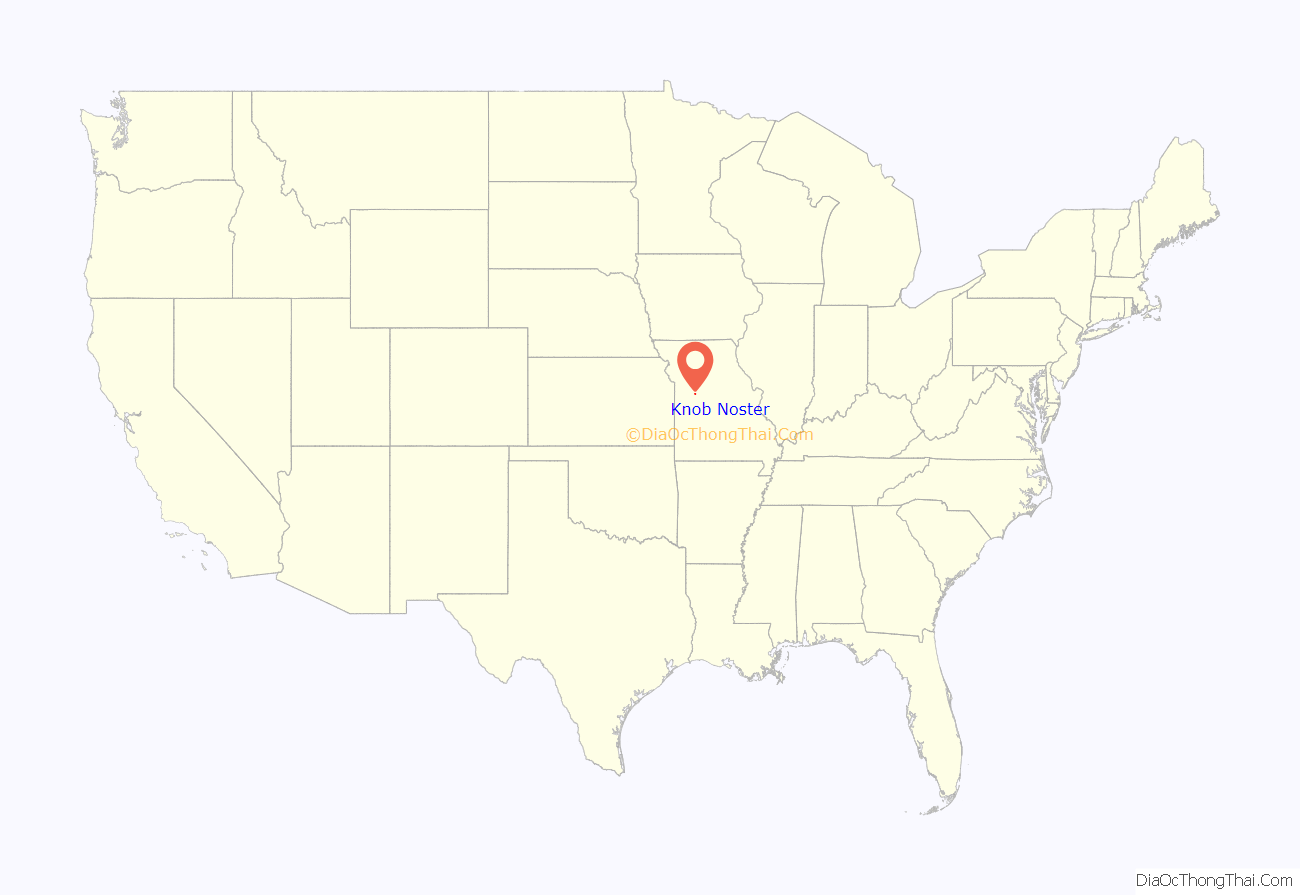
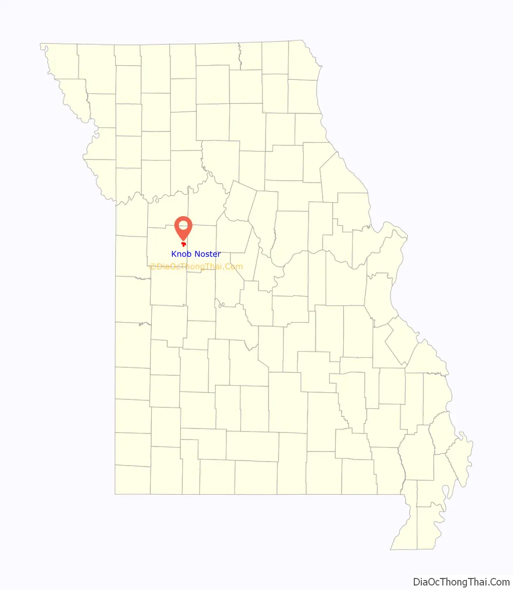
Knob Noster location map. Where is Knob Noster city?
History
Knob Noster was platted in 1856. The community, in the eastern part of Washington Township, was laid out in 1856 by William A. Wortham, and incorporated by act of legislature December 14, 1859. All authorities agree that the name is connected with the prominent mound or knob (or knobs) that stand isolated on the prairie near the town. The second part of the name is said to have been suggested by a school teacher, but its origin is uncertain. Eaton derives it from the Latin, interpreting the whole name as a barbarous mixture signifying “Our Knobs,” an etymology which seems unlikely. Further light on the source of the name is needed. The town was removed to its present site when the Pacific Railroad was built. A post office has been in operation in Knob Noster since 1846.
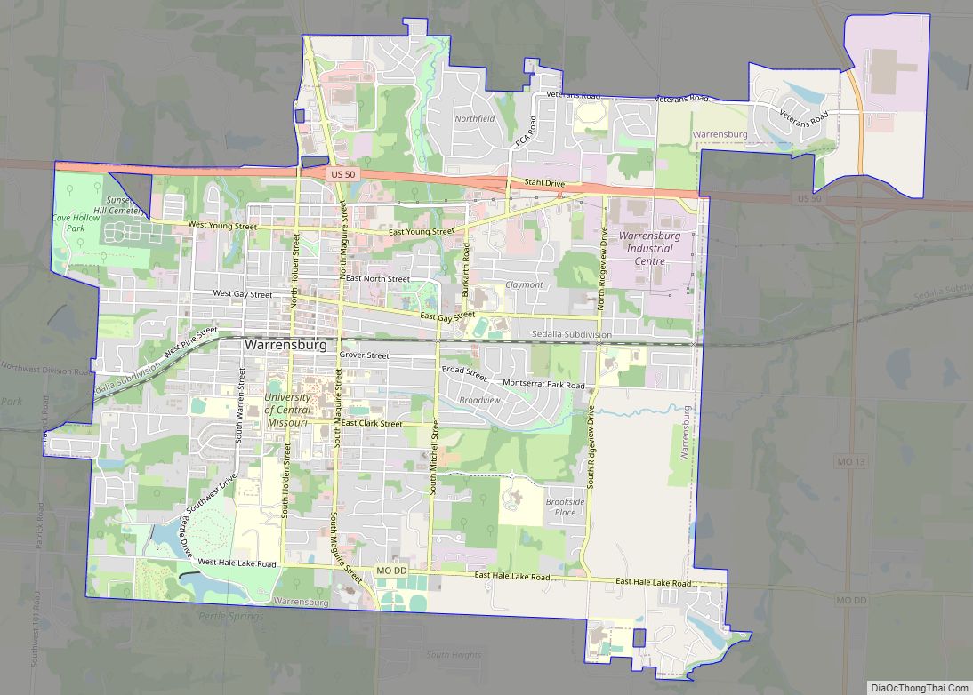
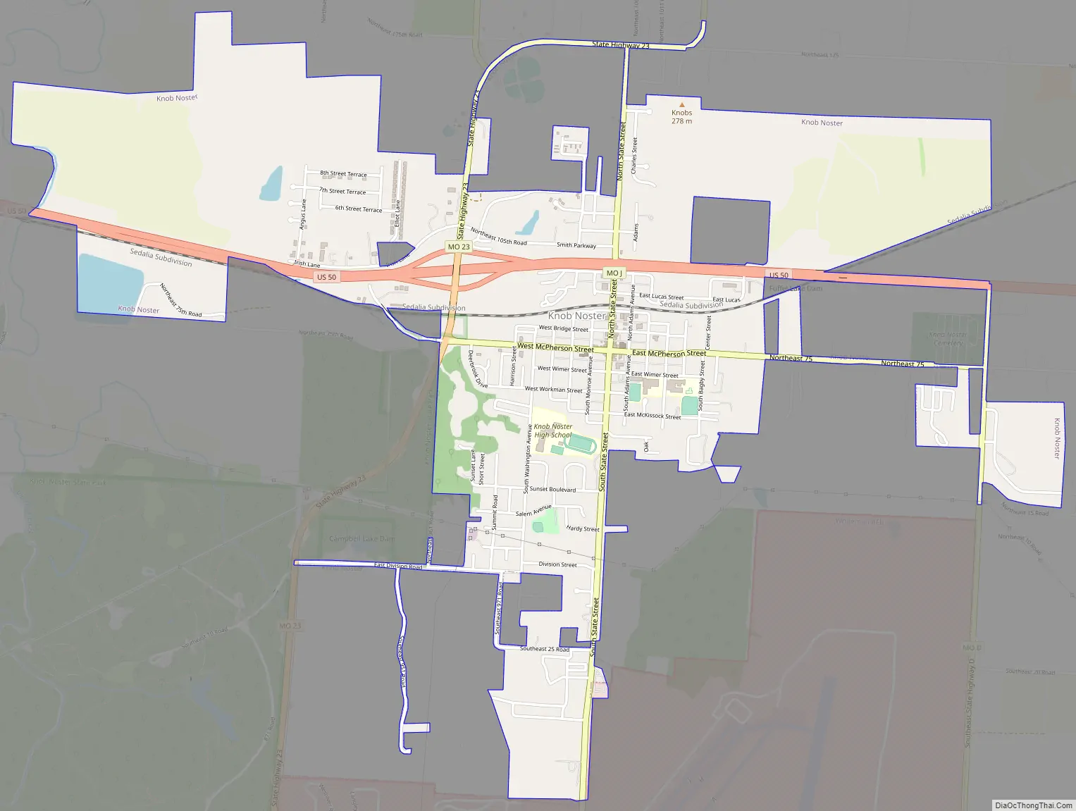
Knob Noster Road Map
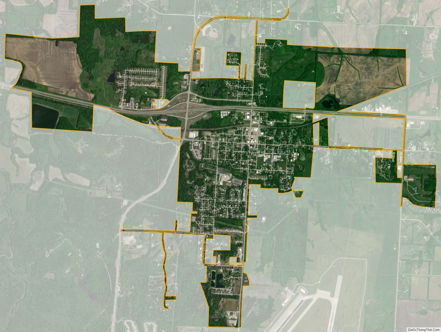
Knob Noster city Satellite Map
Geography
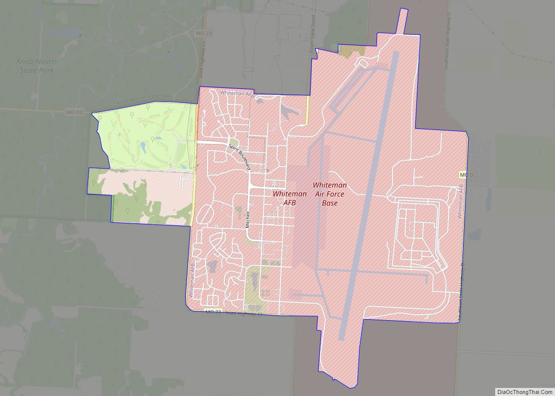
Knob Noster is located along U.S. Route 50 approximately nine miles east of Warrensburg. Knob Noster State Park lies to the southwest along Missouri Route 23 and Whiteman Air Force Base lies directly south about one mile.
According to the United States Census Bureau, the city has a total area of 2.91 square miles (7.54 km), of which 2.88 square miles (7.46 km) is land and 0.03 square miles (0.08 km) is water.
See also
Map of Missouri State and its subdivision:- Adair
- Andrew
- Atchison
- Audrain
- Barry
- Barton
- Bates
- Benton
- Bollinger
- Boone
- Buchanan
- Butler
- Caldwell
- Callaway
- Camden
- Cape Girardeau
- Carroll
- Carter
- Cass
- Cedar
- Chariton
- Christian
- Clark
- Clay
- Clinton
- Cole
- Cooper
- Crawford
- Dade
- Dallas
- Daviess
- De Kalb
- Dent
- Douglas
- Dunklin
- Franklin
- Gasconade
- Gentry
- Greene
- Grundy
- Harrison
- Henry
- Hickory
- Holt
- Howard
- Howell
- Iron
- Jackson
- Jasper
- Jefferson
- Johnson
- Knox
- Laclede
- Lafayette
- Lawrence
- Lewis
- Lincoln
- Linn
- Livingston
- Macon
- Madison
- Maries
- Marion
- McDonald
- Mercer
- Miller
- Mississippi
- Moniteau
- Monroe
- Montgomery
- Morgan
- New Madrid
- Newton
- Nodaway
- Oregon
- Osage
- Ozark
- Pemiscot
- Perry
- Pettis
- Phelps
- Pike
- Platte
- Polk
- Pulaski
- Putnam
- Ralls
- Randolph
- Ray
- Reynolds
- Ripley
- Saint Charles
- Saint Clair
- Saint Francois
- Saint Louis
- Sainte Genevieve
- Saline
- Schuyler
- Scotland
- Scott
- Shannon
- Shelby
- Stoddard
- Stone
- Sullivan
- Taney
- Texas
- Vernon
- Warren
- Washington
- Wayne
- Webster
- Worth
- Wright
- Alabama
- Alaska
- Arizona
- Arkansas
- California
- Colorado
- Connecticut
- Delaware
- District of Columbia
- Florida
- Georgia
- Hawaii
- Idaho
- Illinois
- Indiana
- Iowa
- Kansas
- Kentucky
- Louisiana
- Maine
- Maryland
- Massachusetts
- Michigan
- Minnesota
- Mississippi
- Missouri
- Montana
- Nebraska
- Nevada
- New Hampshire
- New Jersey
- New Mexico
- New York
- North Carolina
- North Dakota
- Ohio
- Oklahoma
- Oregon
- Pennsylvania
- Rhode Island
- South Carolina
- South Dakota
- Tennessee
- Texas
- Utah
- Vermont
- Virginia
- Washington
- West Virginia
- Wisconsin
- Wyoming