Lathrop is a city in Clinton County, Missouri, and is part of the Kansas City metropolitan area within the United States. The population was 2,086 at the 2010 census.
| Name: | Lathrop city |
|---|---|
| LSAD Code: | 25 |
| LSAD Description: | city (suffix) |
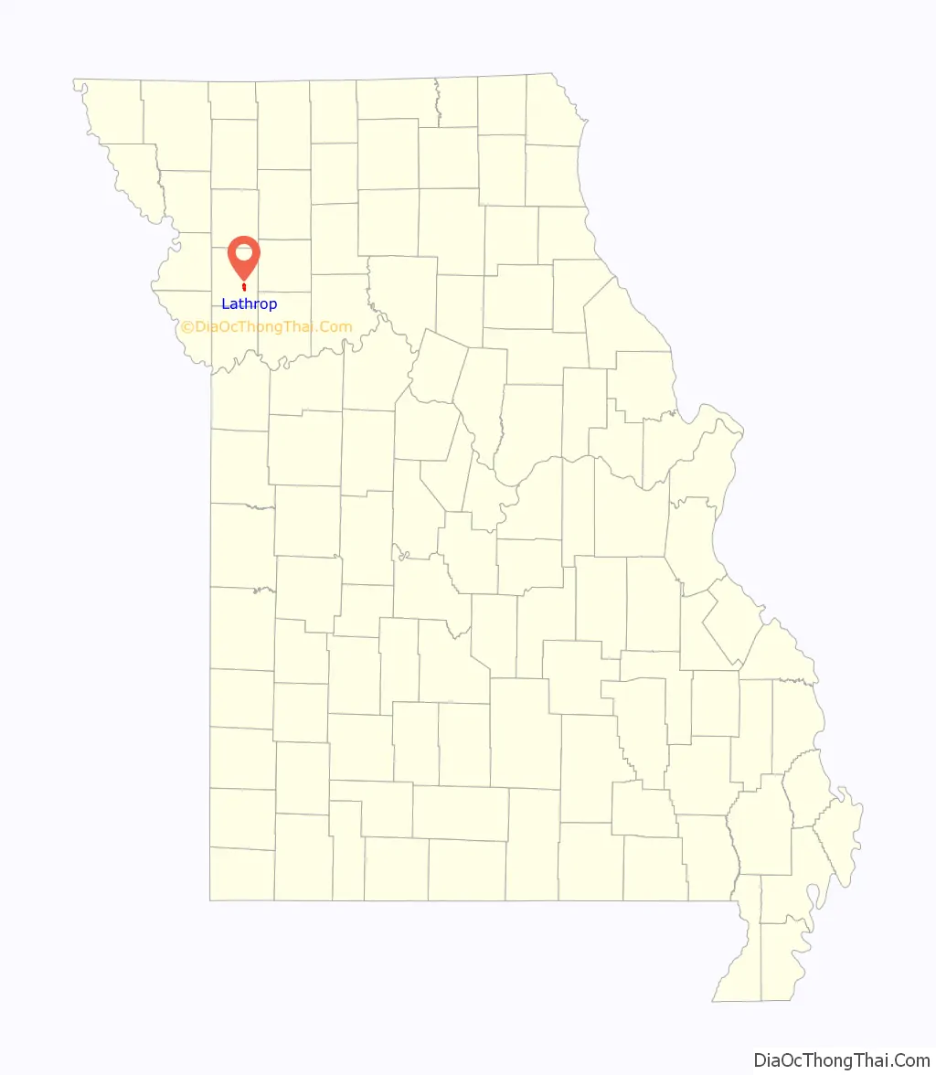
| State: | Missouri |
| County: | Clinton County |
| Elevation: | 1,043 ft (318 m) |
| Total Area: | 4.19 sq mi (10.86 km²) |
| Land Area: | 4.19 sq mi (10.86 km²) |
| Water Area: | 0.00 sq mi (0.00 km²) |
| Total Population: | 2,271 |
| Population Density: | 541.62/sq mi (209.10/km²) |
| ZIP code: | 64465 |
| Area code: | 816 |
| FIPS code: | 2940826 |
| GNISfeature ID: | 2395639 |
| Website: | http://www.cityoflathropmo.com |
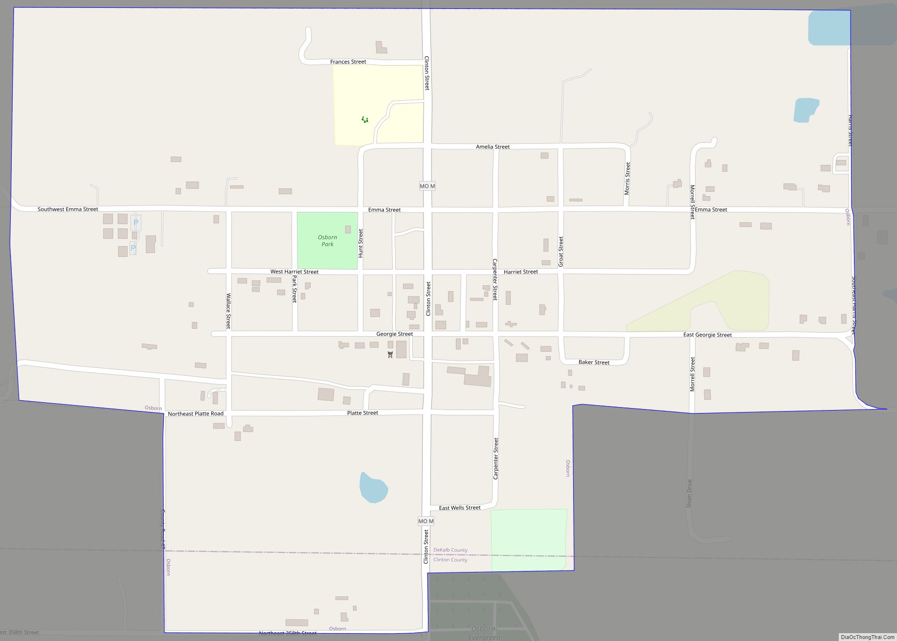
Online Interactive Map
Click on ![]() to view map in "full screen" mode.
to view map in "full screen" mode.
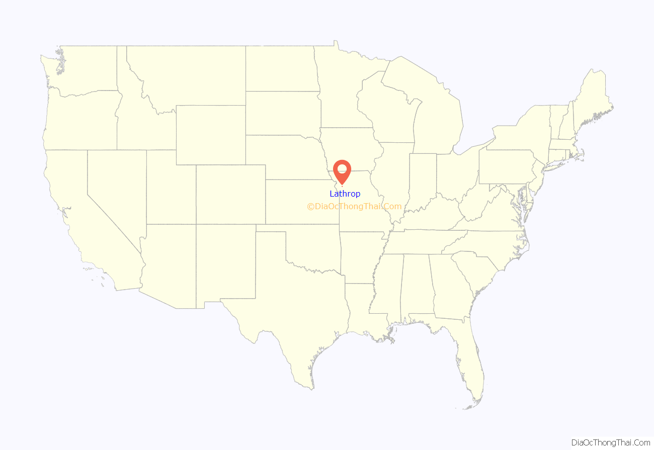
Lathrop location map. Where is Lathrop city?
History
Lathrop was platted in 1867 as a stop on the Cameron Cutoff Branch of the Hannibal and St. Joseph Railroad. It was named for John L. Lathrop, treasurer for the railroad. A post office called Lathrop has been in operation since 1868.
In the early 1900s it was considered the “Mule Capital of the World” after the firm of Guyton and Harrington sold 180,000 mules and 170,000 horses to the British Army during World War I. The cousins J.D. Guyton and W.R. Harrington owned 4,700 acres near Lathrop. They also supplied mules to the British during the Boer War. Among the facilities in Lathrop were three barns stabling 1,000 mules each and a 496 foot long hay barn. The British had a formal contract for a remount station in Lathrop. The business had facilities at 17th and Wyandotte in Kansas City and had a shipping port facilities at Chalmette, Louisiana. The mule business collapsed in the 1920s. There are several businesses in Lathrop that include “mule” in their name now, The Mule Stop, and a road east of town is called Mule Barn Road. The mascot of the high school team is the mules.
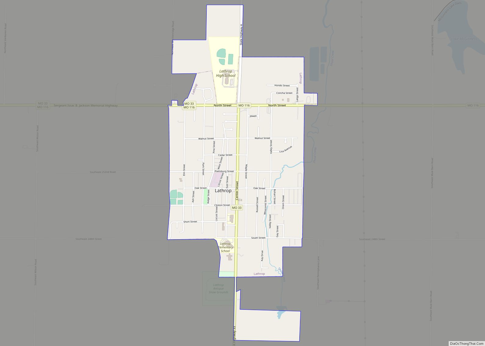
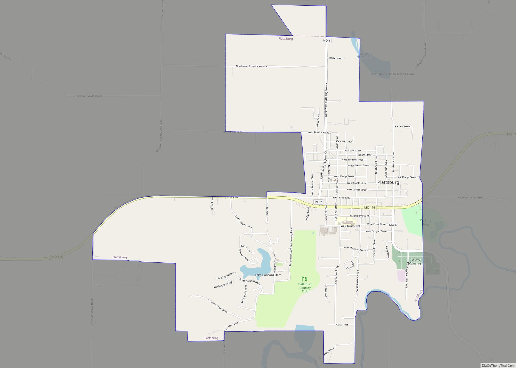
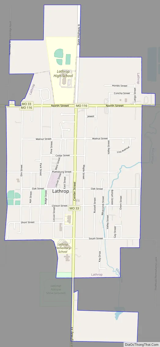
Lathrop Road Map
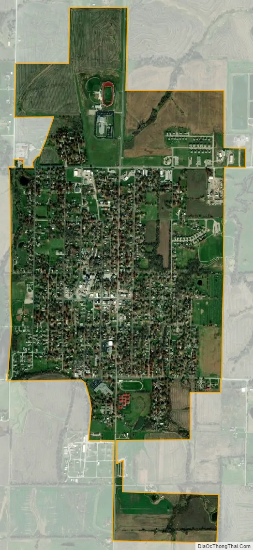
Lathrop city Satellite Map
Geography
Lathrop is located on the south side of the intersection of Missouri routes 33 and 116. It is three miles west of I-35 and nine miles east of Plattsburg.
According to the United States Census Bureau, the city has a total area of 1.79 square miles (4.64 km), all land.
See also
Map of Missouri State and its subdivision:- Adair
- Andrew
- Atchison
- Audrain
- Barry
- Barton
- Bates
- Benton
- Bollinger
- Boone
- Buchanan
- Butler
- Caldwell
- Callaway
- Camden
- Cape Girardeau
- Carroll
- Carter
- Cass
- Cedar
- Chariton
- Christian
- Clark
- Clay
- Clinton
- Cole
- Cooper
- Crawford
- Dade
- Dallas
- Daviess
- De Kalb
- Dent
- Douglas
- Dunklin
- Franklin
- Gasconade
- Gentry
- Greene
- Grundy
- Harrison
- Henry
- Hickory
- Holt
- Howard
- Howell
- Iron
- Jackson
- Jasper
- Jefferson
- Johnson
- Knox
- Laclede
- Lafayette
- Lawrence
- Lewis
- Lincoln
- Linn
- Livingston
- Macon
- Madison
- Maries
- Marion
- McDonald
- Mercer
- Miller
- Mississippi
- Moniteau
- Monroe
- Montgomery
- Morgan
- New Madrid
- Newton
- Nodaway
- Oregon
- Osage
- Ozark
- Pemiscot
- Perry
- Pettis
- Phelps
- Pike
- Platte
- Polk
- Pulaski
- Putnam
- Ralls
- Randolph
- Ray
- Reynolds
- Ripley
- Saint Charles
- Saint Clair
- Saint Francois
- Saint Louis
- Sainte Genevieve
- Saline
- Schuyler
- Scotland
- Scott
- Shannon
- Shelby
- Stoddard
- Stone
- Sullivan
- Taney
- Texas
- Vernon
- Warren
- Washington
- Wayne
- Webster
- Worth
- Wright
- Alabama
- Alaska
- Arizona
- Arkansas
- California
- Colorado
- Connecticut
- Delaware
- District of Columbia
- Florida
- Georgia
- Hawaii
- Idaho
- Illinois
- Indiana
- Iowa
- Kansas
- Kentucky
- Louisiana
- Maine
- Maryland
- Massachusetts
- Michigan
- Minnesota
- Mississippi
- Missouri
- Montana
- Nebraska
- Nevada
- New Hampshire
- New Jersey
- New Mexico
- New York
- North Carolina
- North Dakota
- Ohio
- Oklahoma
- Oregon
- Pennsylvania
- Rhode Island
- South Carolina
- South Dakota
- Tennessee
- Texas
- Utah
- Vermont
- Virginia
- Washington
- West Virginia
- Wisconsin
- Wyoming